Downtown vector map of Honolulu, United States — Stock Vector

Downtown vector map of Honolulu, United States — Vector

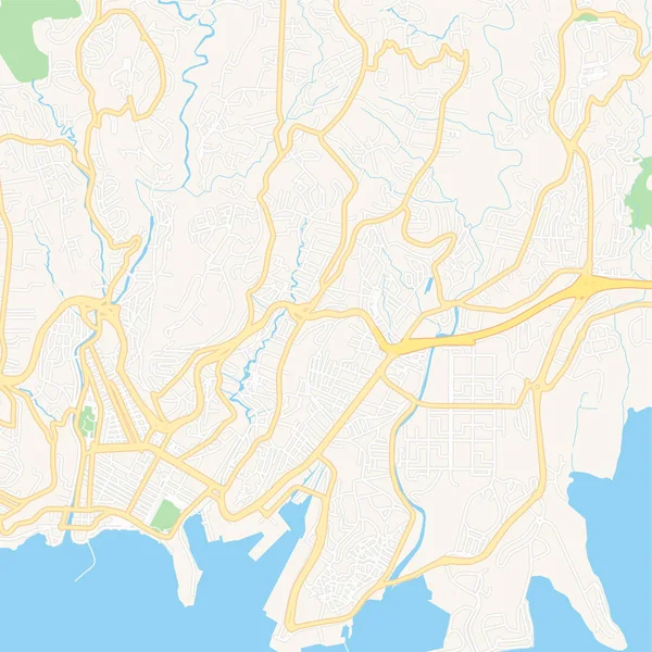
Downtown vector map of Honolulu, United States. This printable map of Honolulu contains lines and classic colored shapes for land mass, parks, water, major and minor roads as such as major rail tracks.

 — Vector by mail.hebstreit.com

Same Series:

Printable map of Saint-Nazaire, France with main and secondary roads and larger railways. This map is carefully designed for routing and placing individual data.
Saint-Nazaire, France printable map — Stock Vector
Downtown vector map of Ha Long, Vietnam. This printable map of Ha Long contains lines and classic colored shapes for land mass, parks, water, major and minor roads as such as major rail tracks.
Downtown vector map of Ha Long, Vietnam — Stock Vector
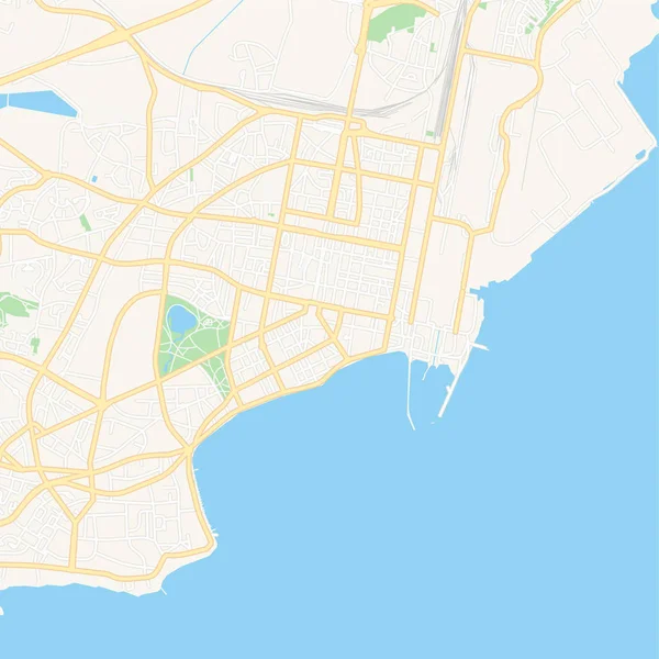
Printable map of Glyfada, Greece with main and secondary roads and larger railways. This map is carefully designed for routing and placing individual data.
Glyfada, Greece printable map — Stock Vector
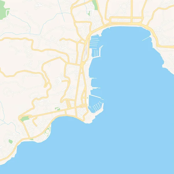
Printable map of Ajaccio, France with main and secondary roads and larger railways. This map is carefully designed for routing and placing individual data.
Ajaccio, France printable map — Stock Vector
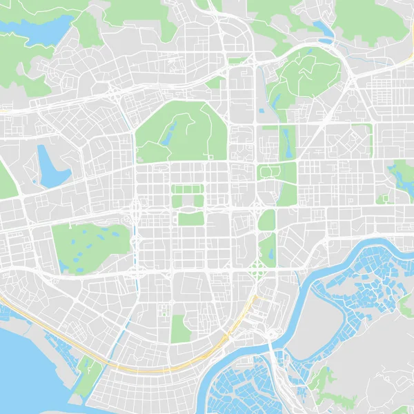
Downtown vector map of Shenzhen, China. This printable map of Shenzhen contains lines and classic colored shapes for land mass, parks, water, major and minor roads as such as major rail tracks.
Downtown vector map of Shenzhen, China — Stock Vector
Printable map of Kavala, Greece with main and secondary roads and larger railways. This map is carefully designed for routing and placing individual data.
Kavala, Greece printable map — Stock Vector
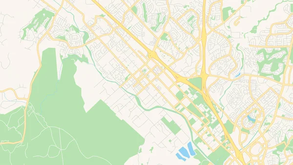
Empty vector map of Shreveport, Louisiana, USA, printable road map created in classic web colors for infographic backgrounds.
Empty vector map of Murrieta, California, USA — Stock Vector
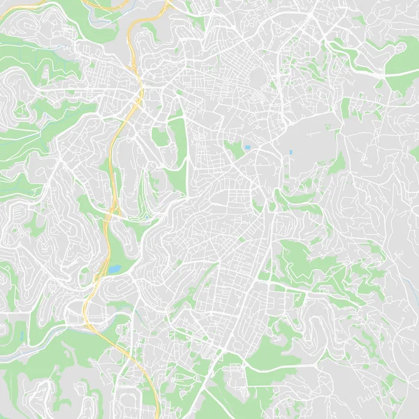
Downtown vector map of Jerusalem, Israel. This printable map of Jerusalem contains lines and classic colored shapes for land mass, parks, water, major and minor roads as such as major rail tracks.
Downtown vector map of Jerusalem, Israel — Stock Vector
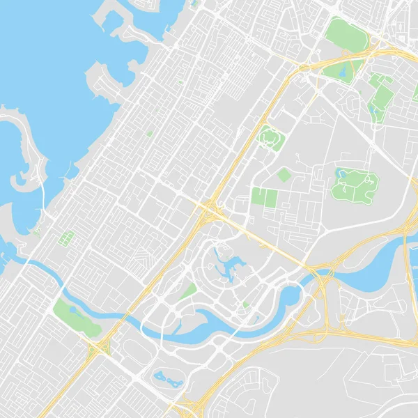
Downtown vector map of Dubai, United Arab Emirates. This printable map of Dubai contains lines and classic colored shapes for land mass, parks, water, major and minor roads as such as major rail tracks.
Downtown vector map of Dubai, United Arab Emirates — Stock Vector
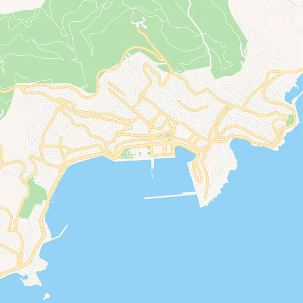
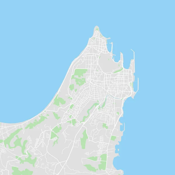
Downtown vector map of Rhodes, Greece. This printable map of Rhodes contains lines and classic colored shapes for land mass, parks, water, major and minor roads as such as major rail tracks.
Downtown vector map of Rhodes, Greece — Stock Vector
Printable map of Saint-Louis, France with main and secondary roads and larger railways. This map is carefully designed for routing and placing individual data.
Saint-Louis, France printable map — Stock Vector
Printable map of Saint-Andre, France with main and secondary roads and larger railways. This map is carefully designed for routing and placing individual data.
Saint-Andre, France printable map — Stock Vector
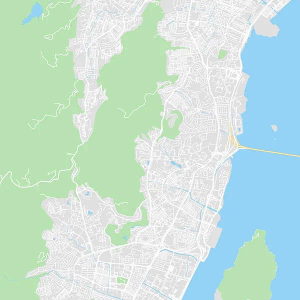
Downtown vector map of Penang Island, Malaysia. This printable map of Penang Island contains lines and classic colored shapes for land mass, parks, water, major and minor roads as such as major rail tracks.
Downtown vector map of Penang Island, Malaysia — Stock Vector
Printable map of Lohja, Finland with main and secondary roads and larger railways. This map is carefully designed for routing and placing individual data.
Lohja, Finland printable map — Stock Vector
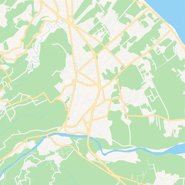
Printable map of Saint-Denis, France with main and secondary roads and larger railways. This map is carefully designed for routing and placing individual data.
Saint-Denis, France printable map — Stock Vector
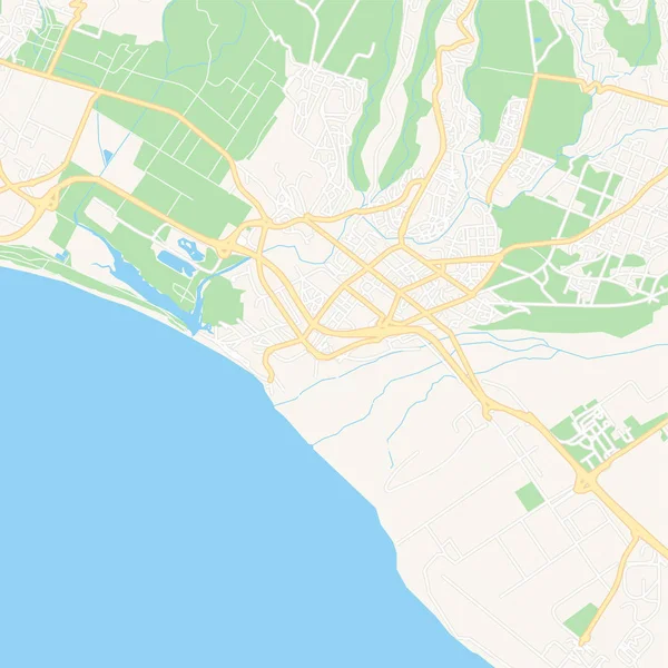
Printable map of Fort-de-France, France with main and secondary roads and larger railways. This map is carefully designed for routing and placing individual data.
Fort-de-France, France printable map — Stock Vector

Similar Stock Videos:

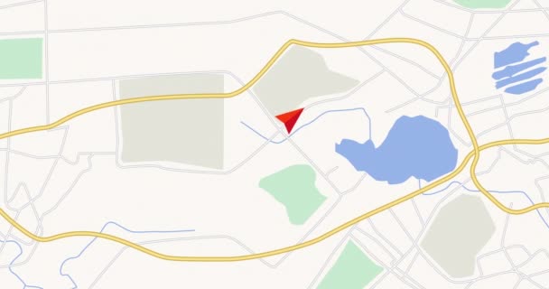
GPS tracking navigation concept. Map GPS-navigation system. Smartphone App Map. Seamless loop/ 4k animation of an app screen of traveling city map background with red arrow moving forward
Gps Tracking Navigation Concept Map Gps Navigation System Smartphone App — Stock Video
Moving GPS navigator on city map with river. Map, moving navigator marker and checkpoints icon on location. 4K or HD animation
Moving Gps Navigator City Map River Map Moving Navigator Marker — Stock Video
A sketch animation of the black and white Earth with a map background
Sketch Animation Black White Earth Map Background — Stock Video
Halle Saale City Map Animation Footage 4K, Historical Urbanisation, Data driven Visualisation
Halle Saale City Map Animation Footage 4K Loop — Stock Video
4K animation aerial view of map with 3d building and destination moving location path
Animation Aerial View Map Building Destination Moving Location Path — Stock Video
City Map Animation Footage 4K, Historical Urbanisation, Data driven Visualisation
City Map Animation Footage 4K Loop — Stock Video
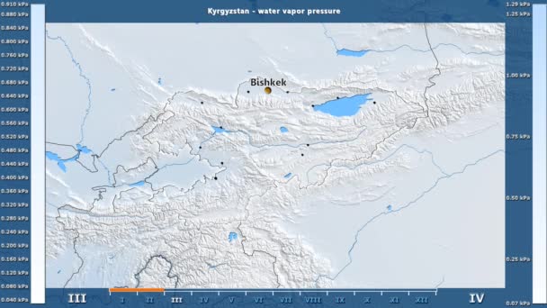
Water vapor pressure by month in the Kyrgyzstan area with animated legend - English labels: country and capital names, map description. Stereographic projection
Water Vapor Pressure Month Kyrgyzstan Area Animated Legend English Labels — Stock Video
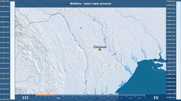
Water vapor pressure by month in the Moldova area with animated legend - English labels: country and capital names, map description. Stereographic projection
Water Vapor Pressure Month Moldova Area Animated Legend English Labels — Stock Video
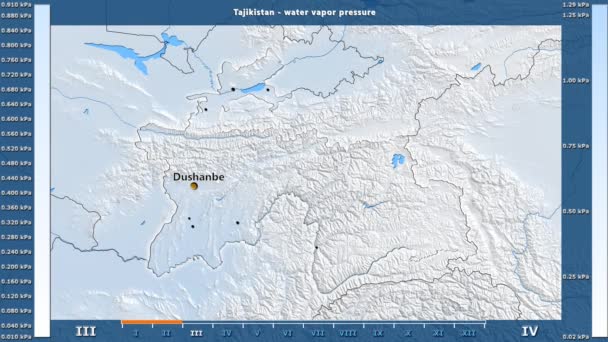
Water vapor pressure by month in the Tajikistan area with animated legend - English labels: country and capital names, map description. Stereographic projection
Water Vapor Pressure Month Tajikistan Area Animated Legend English Labels — Stock Video
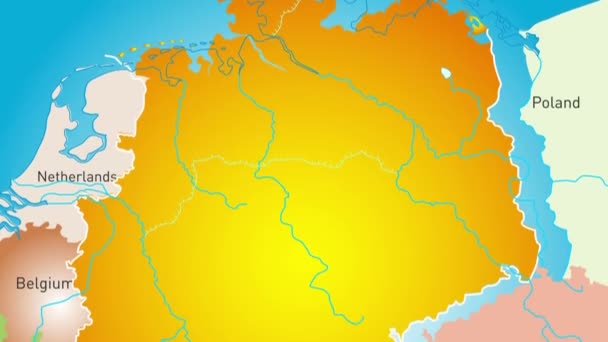
Animated detailed map of Germany country
Animated detailed map of Germany — Stock Video
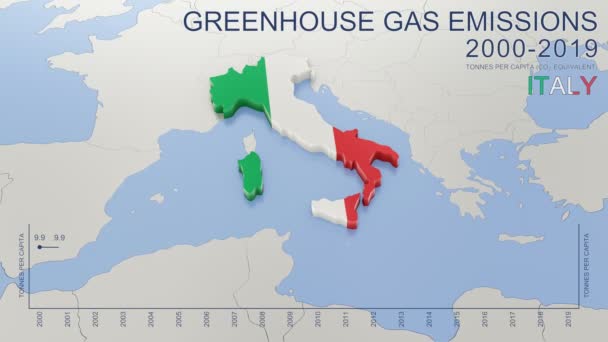
Greenhouse gas emissions in Italy from 2000 to 2019. Values in tonnes per capita (CO2 equivalent). Source data: Eurostat. 3D rendering loop able video with 4K resolution.
Greenhouse Gas Emissions Italy 2000 2019 Values Tonnes Capita Co2 — Stock Video
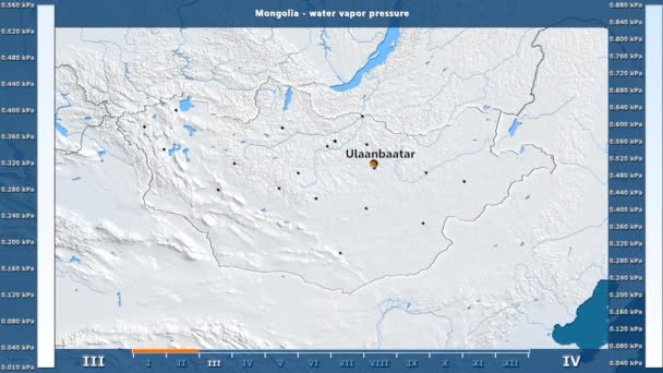
Water vapor pressure by month in the Mongolia area with animated legend - English labels: country and capital names, map description. Stereographic projection
Water Vapor Pressure Month Mongolia Area Animated Legend English Labels — Stock Video
Uzbekistan map highlighted in Uzbekistan flag colors and pin of country capital Tashkent, map with neighboring Asian countries.
Uzbekistan Map Highlighted Uzbekistan Flag Colors Pin Country Capital Tashkent — Stock Video
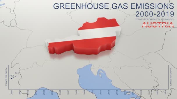
Greenhouse gas emissions in Austria from 2000 to 2019. Values in tonnes per capita (CO2 equivalent). Source data: Eurostat. 3D rendering loop able video with 4K resolution.
Greenhouse Gas Emissions Austria 2000 2019 Values Tonnes Capita Co2 — Stock Video
India map highlighted in India flag colors and pin of country capital New Delhi, map with neighboring Asian countries.
India Map Highlighted India Flag Colors Pin Country Capital New — Stock Video
Water vapor pressure by month in the Belgium area with animated legend - English labels: country and capital names, map description. Stereographic projection
Water Vapor Pressure Month Belgium Area Animated Legend English Labels — Stock Video
Close up of a detailed printed world atlas map
World Atlas Map — Stock Video
World Map
World Map — Stock Video

Usage Information

You can use this royalty-free vector image "Downtown vector map of Honolulu, United States" for personal and commercial purposes according to the Standard or Extended License. The Standard License covers most use cases, including advertising, UI designs, and product packaging, and allows up to 500,000 print copies. The Extended License permits all use cases under the Standard License with unlimited print rights and allows you to use the downloaded vector files for merchandise, product resale, or free distribution.

This stock vector image is scalable to any size. You can buy and download it in high resolution up to 8000x8000. Upload Date: Mar 10, 2019