Fort-de-France, France printable map — Stock Vector

Fort-de-France, France printable map — Vector

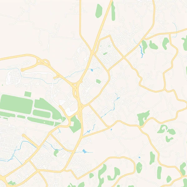
Printable map of Fort-de-France, France with main and secondary roads and larger railways. This map is carefully designed for routing and placing individual data.

 — Vector by mail.hebstreit.com

Same Series:

Printable map of Elbasan, Albania with main and secondary roads and larger railways. This map is carefully designed for routing and placing individual data.
Elbasan, Albania printable map — Stock Vector
Empty vector map of Shreveport, Louisiana, USA, printable road map created in classic web colors for infographic backgrounds.
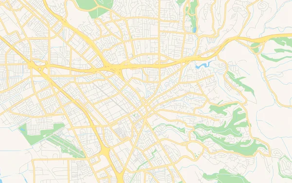
Empty vector map of Hayward, California, USA — Stock Vector
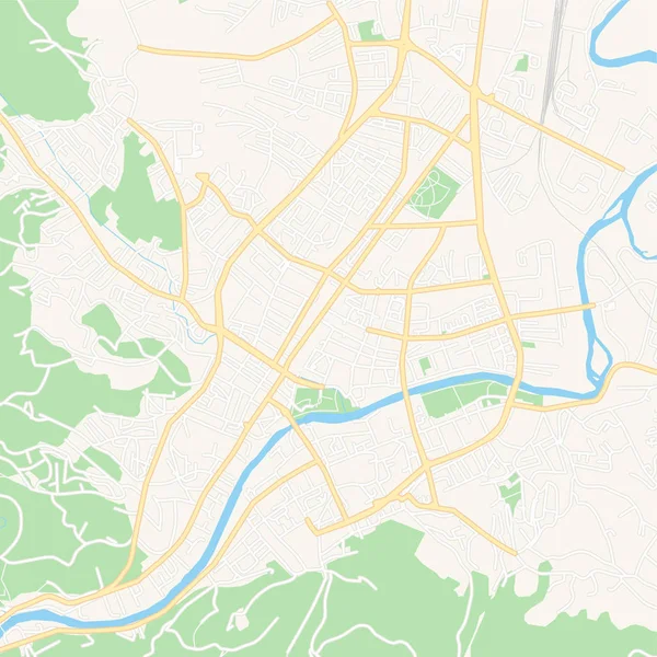
Printable map of Banja Luka, Bosnia and Herzegovina with main and secondary roads and larger railways. This map is carefully designed for routing and placing individual data.
Banja Luka, Bosnia and Herzegovina printable map — Stock Vector
Printable map of Saint-Andre, France with main and secondary roads and larger railways. This map is carefully designed for routing and placing individual data.
Saint-Andre, France printable map — Stock Vector
Printable map of Volkermarkt, Austria with main and secondary roads and larger railways. This map is carefully designed for routing and placing individual data.
Volkermarkt, Austria printable map — Stock Vector
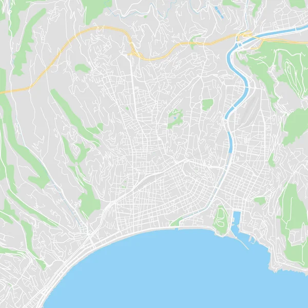
Downtown vector map of Nice, France. This printable map of Nice contains lines and classic colored shapes for land mass, parks, water, major and minor roads as such as major rail tracks.
Downtown vector map of Nice, France — Stock Vector
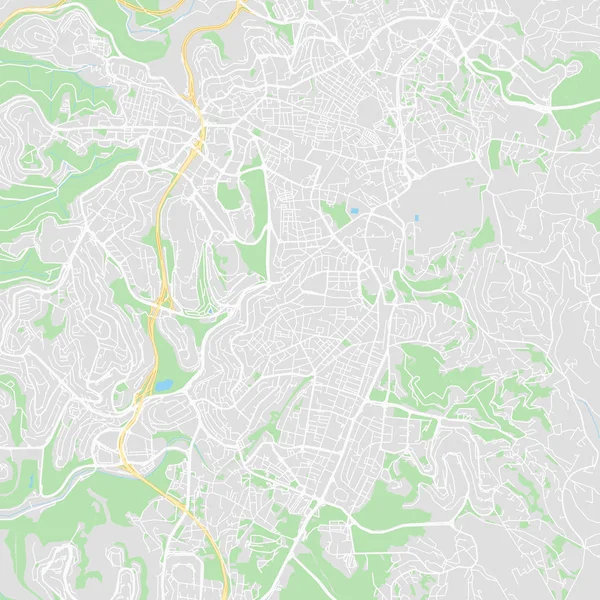
Downtown vector map of Jerusalem, Israel. This printable map of Jerusalem contains lines and classic colored shapes for land mass, parks, water, major and minor roads as such as major rail tracks.
Downtown vector map of Jerusalem, Israel — Stock Vector
Printable map of Les Abymes, France with main and secondary roads and larger railways. This map is carefully designed for routing and placing individual data.
Les Abymes, France printable map — Stock Vector
Downtown vector map of Ha Long, Vietnam. This printable map of Ha Long contains lines and classic colored shapes for land mass, parks, water, major and minor roads as such as major rail tracks.
Downtown vector map of Ha Long, Vietnam — Stock Vector
Empty vector map of Shreveport, Louisiana, USA, printable road map created in classic web colors for infographic backgrounds.
Empty vector map of Thousand Oaks, California, USA — Stock Vector
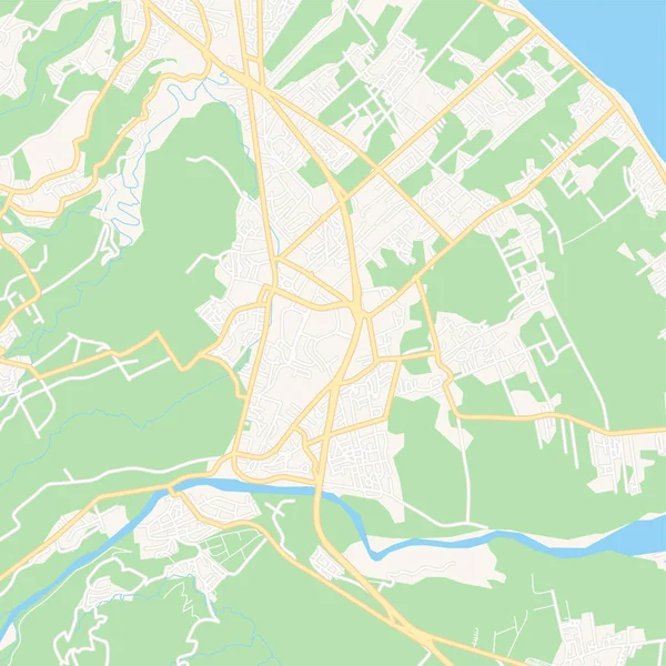
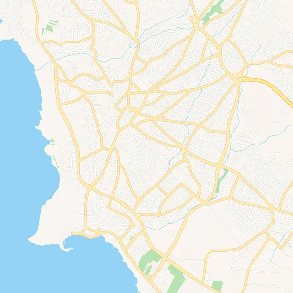
Printable map of Paphos , Cyprus with main and secondary roads and larger railways. This map is carefully designed for routing and placing individual data.
Paphos  , Cyprus printable map — Stock Vector
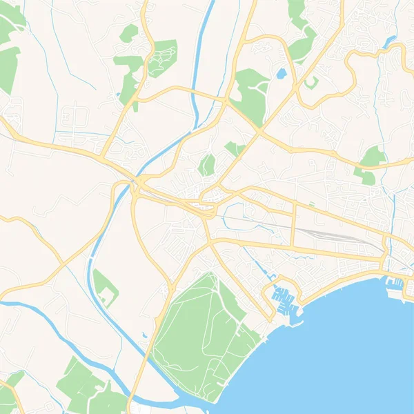
Printable map of Frejus, France with main and secondary roads and larger railways. This map is carefully designed for routing and placing individual data.
Frejus, France printable map — Stock Vector
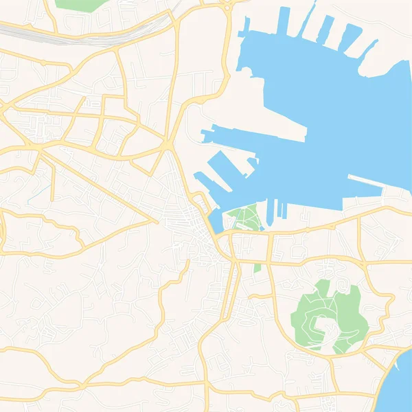
Printable map of Kastela, Croatia with main and secondary roads and larger railways. This map is carefully designed for routing and placing individual data.
Kastela, Croatia printable map — Stock Vector
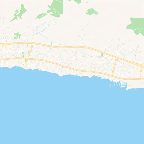
Printable map of La Seyne-sur-Mer, France with main and secondary roads and larger railways. This map is carefully designed for routing and placing individual data.
La Seyne-sur-Mer, France printable map — Stock Vector
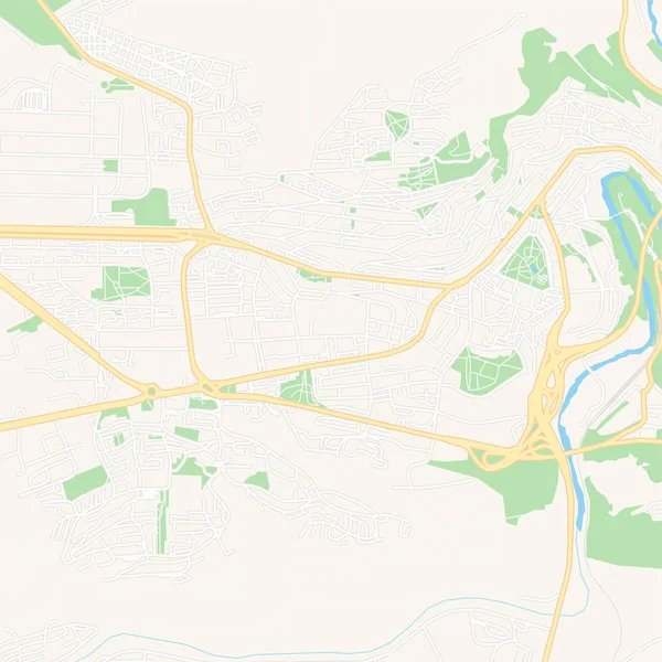
Printable map of Veliko Tarnovo, Bulgaria with main and secondary roads and larger railways. This map is carefully designed for routing and placing individual data.
Veliko Tarnovo, Bulgaria printable map — Stock Vector
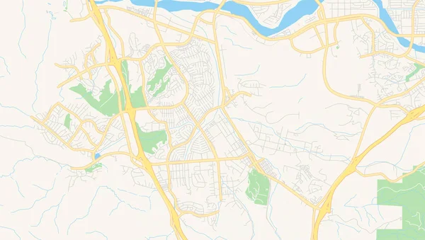
Empty vector map of Shreveport, Louisiana, USA, printable road map created in classic web colors for infographic backgrounds.
Empty vector map of Santa Clarita, California, USA — Stock Vector

Similar Stock Videos:

Moving GPS navigator on city map with river. Map, moving navigator marker and checkpoints icon on location. 4K or HD animation
Moving Gps Navigator City Map River Map Moving Navigator Marker — Stock Video
Halle Saale City Map Animation Footage 4K, Historical Urbanisation, Data driven Visualisation
Halle Saale City Map Animation Footage 4K Loop — Stock Video
City Map Animation Footage 4K, Historical Urbanisation, Data driven Visualisation
City Map Animation Footage 4K Loop — Stock Video
4K animation aerial view of map with 3d building and destination moving location path
Animation Aerial View Map Building Destination Moving Location Path — Stock Video
GPS tracking navigation concept. Map GPS-navigation system. Smartphone App Map. Seamless loop/ 4k animation of an app screen of traveling city map background with red arrow moving forward
Gps Tracking Navigation Concept Map Gps Navigation System Smartphone App — Stock Video
A sketch animation of the black and white Earth with a map background
Sketch Animation Black White Earth Map Background — Stock Video
Governatorates of Kuwait- geography map
Governatorates Kuwait Geography Map — Stock Video
Valletta Malta, City Map Animation Footage 4K, Historical Urbanisation, Data driven Visualisation
Valletta Malta, City Map Animation Footage 4K Loop — Stock Video
LondonCity Map Animation Footage 4K, Historical Urbanisation, Data driven Visualisation
London City Map Animation Footage 4K Loop — Stock Video
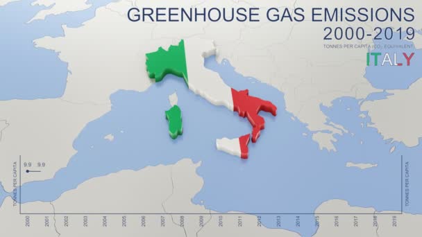
Greenhouse gas emissions in Italy from 2000 to 2019. Values in tonnes per capita (CO2 equivalent). Source data: Eurostat. 3D rendering loop able video with 4K resolution.
Greenhouse Gas Emissions Italy 2000 2019 Values Tonnes Capita Co2 — Stock Video
The plane takes off and land at the airport in the night and day. There are views from the windows and interior. Check out the runway, accelerate and take off into the night. View the wing against the sky.
The plane takes off at the airport. Exterior and interior. People and flight attendant on the plane are going. The TV screen shows parameters of the flight. — Stock Video
2016 Solomon/Abeline/Chapman, Kansas tornado event. Depicts radar imagery (reflectivity) taken by National Weather Service NEXRAD radar. There is an identical version WITH warning boxes available in our portfolio
2016 Solomon/Abilene/Chapman, KS Tornado Doppler Radar (Without Warn Boxes) — Stock Video
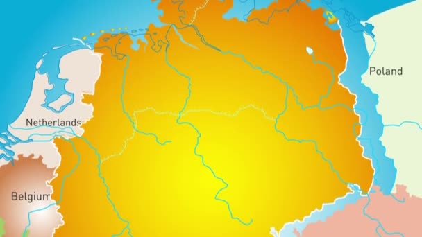
Animated detailed map of Germany country
Animated detailed map of Germany — Stock Video
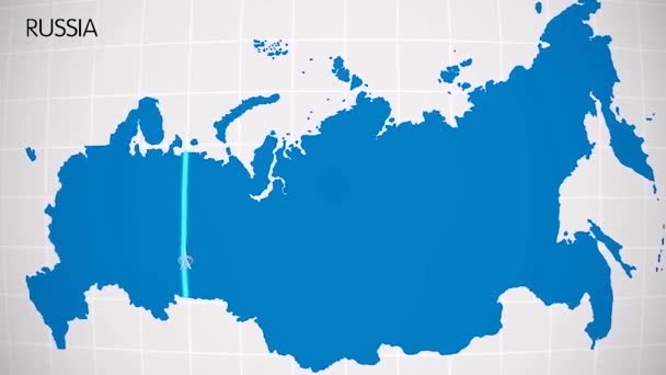
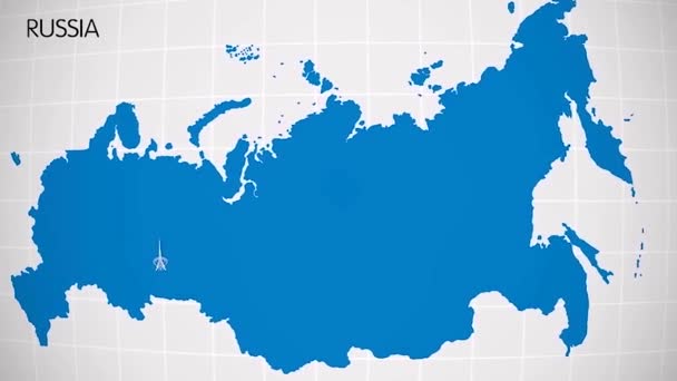
The division of Europe and Asia on the map. the city Ekaterinburg divides Europe and Asia. Eurasia on the map Animation. Eurasia. Yekaterinburg animation HD
The division of Europe and Asia on the map. the city Ekaterinburg divides Europe and Asia. Eurasia on the map Animation. Eurasia. Yekaterinburg animation — Stock Video
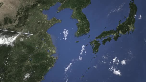
Airplane arrives to city. 3D
Commercial plane arrives to Fukuoka, Japan, intro 3D animation — Stock Video
Jamaica map highlighted in Jamaica flag colors and pin of country capital Kingston, map with neighboring American countries.
Jamaica Map Highlighted Jamaica Flag Colors Pin Country Capital Kingston — Stock Video
Peninsula top view. two peninsulas near each other almost touch each other create a small bay at the mouth of the river. 4k aerial
Peninsula top view. 4k — Stock Video

Usage Information

You can use this royalty-free vector image "Fort-de-France, France printable map" for personal and commercial purposes according to the Standard or Extended License. The Standard License covers most use cases, including advertising, UI designs, and product packaging, and allows up to 500,000 print copies. The Extended License permits all use cases under the Standard License with unlimited print rights and allows you to use the downloaded vector files for merchandise, product resale, or free distribution.

This stock vector image is scalable to any size. You can buy and download it in high resolution up to 5376x5376. Upload Date: Apr 16, 2019