Us map Stock Photos

100,000 Us map pictures are available under a royalty-free license

  • Best Match
  • Fresh
  • Popular
1-100 of 100,000
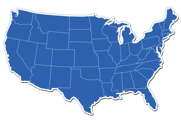
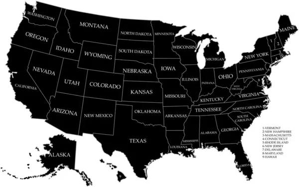
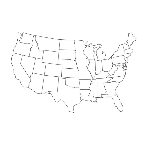
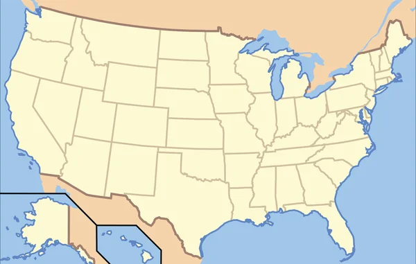
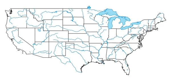
Map of USA with state borders
Map of USA with state borders — Stock Photo, Image
Map of USA
Map of USA — Stock Photo, Image
USA map
USA map — Stock Photo, Image
Map of USA
Map of USA — Stock Photo, Image
Map of USA with state borders
Map of USA with state borders — Stock Photo, Image
USA map
USA map — Stock Photo, Image
Map of USA
Map of USA — Stock Photo, Image
Map of USA
Map of USA — Stock Photo, Image
Map of USA
Map of USA — Stock Photo, Image
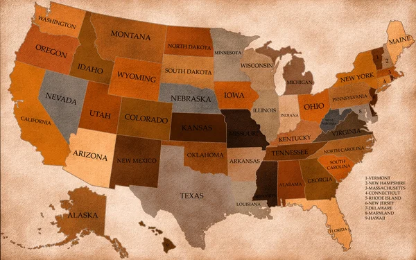
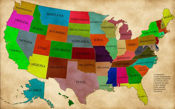
Old grunge map of United States of America
Old grunge map of United States of America — Stock Photo, Image
Us map changing concept
Us map changing concept — Stock Photo, Image
USA map
USA map — Stock Photo, Image
Map of the USA on Earth in the national colors
Map of the USA on Earth in the national colors — Stock Photo, Image
Paper map of USA
Paper map of USA — Stock Photo, Image
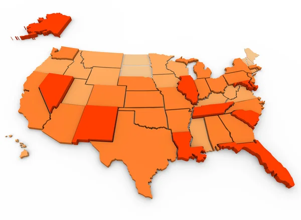
Violent Crimes Per Capita - U.S. Map
Violent Crimes Per Capita - U.S. Map — Stock Photo, Image
American flag on suitcase
American flag on suitcase — Stock Photo, Image
United States Patriotic Background
United States Patriotic Background — Stock Photo, Image
USA Map
USA Map — Stock Photo, Image
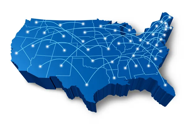
U.S.A 3D map communication network
U.S.A 3D map communication network — Stock Photo, Image
Globe of USA with national borders
Globe of USA with national borders — Stock Photo, Image
White eeuu map
White eeuu map — Stock Photo, Image
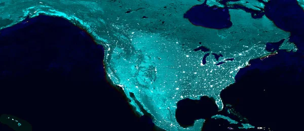
North American continent electric lights map at night. Electric lighing of cities USA, Canada, Mexico at night. Map of North and Central America. View from outer space. Mixed media
North American Continent Electric Lights Map Night Electric Lighing Cities — Stock Photo, Image
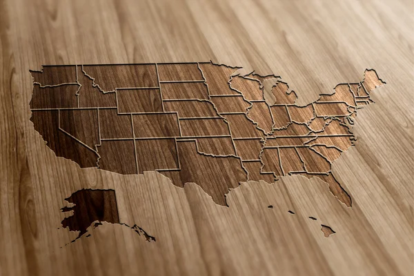
USA Map on Wood
USA Map on Wood — Stock Photo, Image
Finger push the America map with wave effect
Finger push the America map with wave effect — Stock Photo, Image
Businessman with tablet pc
Businessman with tablet pc — Stock Photo, Image
American Real Estate
American Real Estate — Stock Photo, Image
USA colorful map 3D
USA colorful map 3D — Stock Photo, Image
Map of USA
Map of USA — Stock Photo, Image
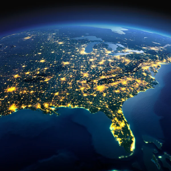
Detailed Earth. North America. USA. Gulf of Mexico and Florida o
Detailed Earth. North America. USA. Gulf of Mexico and Florida o — Stock Photo, Image
USA map raster
USA map raster — Stock Photo, Image
Map of USA. Image with clipping path.
Map of USA. Image with clipping path. — Stock Photo, Image
Map of USA
Map of USA — Stock Photo, Image
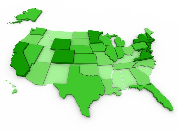
Per Capita Income - United States Map
Per Capita Income - United States Map — Stock Photo, Image
USA map
USA map — Stock Photo, Image
Map of USA. 3d
Map of USA. 3d — Stock Photo, Image
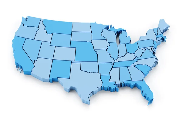
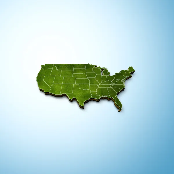
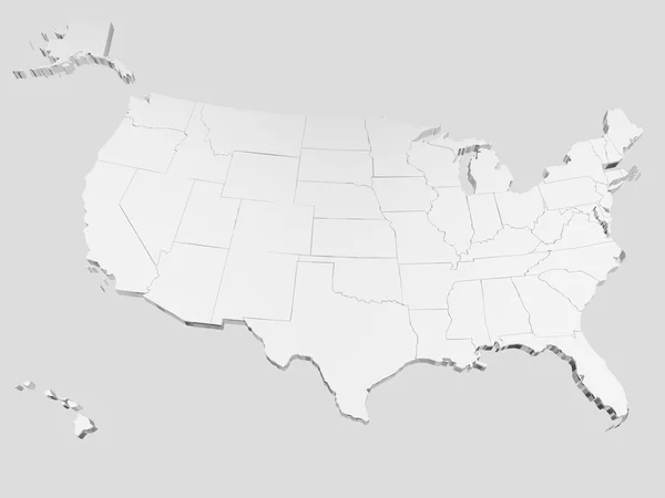
3D map of the USA
3D map of the USA — Stock Photo, Image
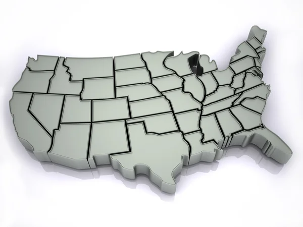
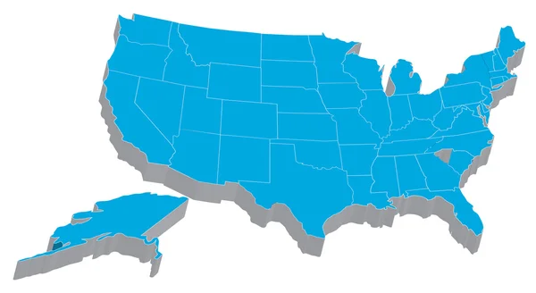
Map Of USA 3d Shape
Map Of USA 3d Shape — Stock Photo, Image
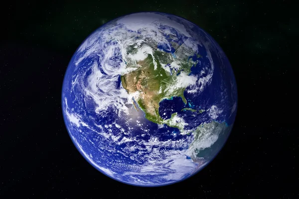
Planet Earth in galaxy space
Planet Earth in galaxy space — Stock Photo, Image
USA map multicultural group of young people integration diversit
USA map multicultural group of young people integration diversit — Stock Photo, Image
USA Map
USA Map — Stock Photo, Image
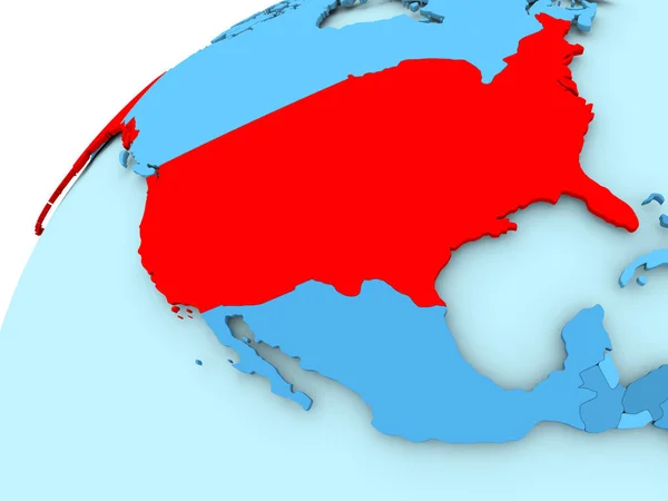
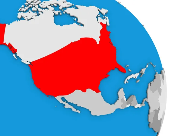
USA on blue globe
USA on blue globe — Stock Photo, Image
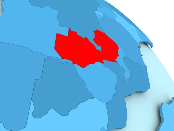
Zambia on blue globe
Zambia on blue globe — Stock Photo, Image
Shape of Missouri, state of Mainland United States, with its capital isolated on solid background. Distance scale, region preview and labels. Satellite imagery. 3D rendering
Shape Missouri State Mainland United States Its Capital Isolated Solid — Stock Photo, Image
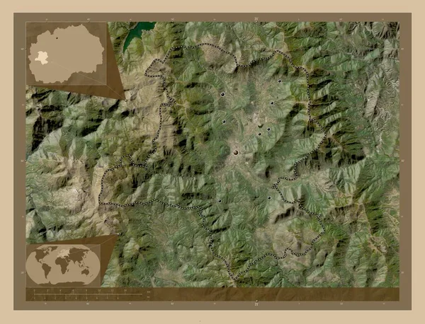
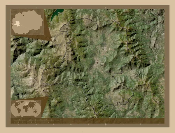
Kicevo, municipality of Macedonia. Low resolution satellite map. Locations of major cities of the region. Corner auxiliary location maps
Kicevo Municipality Macedonia Low Resolution Satellite Map Locations Major Cities — Stock Photo, Image
United States States Map
United States States Map — Stock Photo, Image
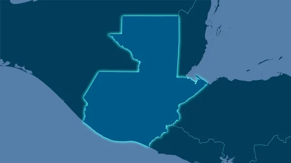
Guatemala area on the solid map in the stereographic projection - raw composition of raster layers with light glowing outline
Guatemala Area Solid Map Stereographic Projection Raw Composition Raster Layers — Stock Photo, Image
USA map
USA map — Stock Photo, Image
Shape of Delaware, state of Mainland United States, and its capital. Distance scale, previews and labels. Bilevel elevation map. 3D rendering
Shape Delaware State Mainland United States Its Capital Distance Scale — Stock Photo, Image
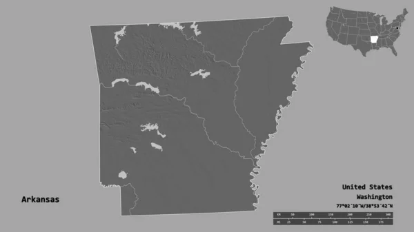
Shape of Arkansas, state of Mainland United States, with its capital isolated on solid background. Distance scale, region preview and labels. Bilevel elevation map. 3D rendering
Shape Arkansas State Mainland United States Its Capital Isolated Solid — Stock Photo, Image
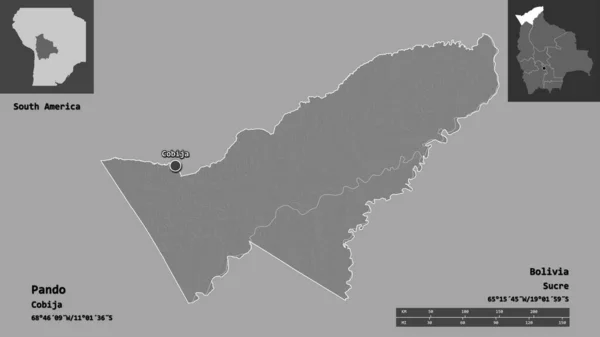
Shape of Pando, department of Bolivia, and its capital. Distance scale, previews and labels. Bilevel elevation map. 3D rendering
Shape Pando Department Bolivia Its Capital Distance Scale Previews Labels — Stock Photo, Image
Shape of Kansas, state of Mainland United States, with its capital isolated on solid background. Distance scale, region preview and labels. Topographic relief map. 3D rendering
Shape Kansas State Mainland United States Its Capital Isolated Solid — Stock Photo, Image
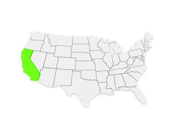
Three-dimensional map of California. USA.
Three-dimensional map of California. USA. — Stock Photo, Image
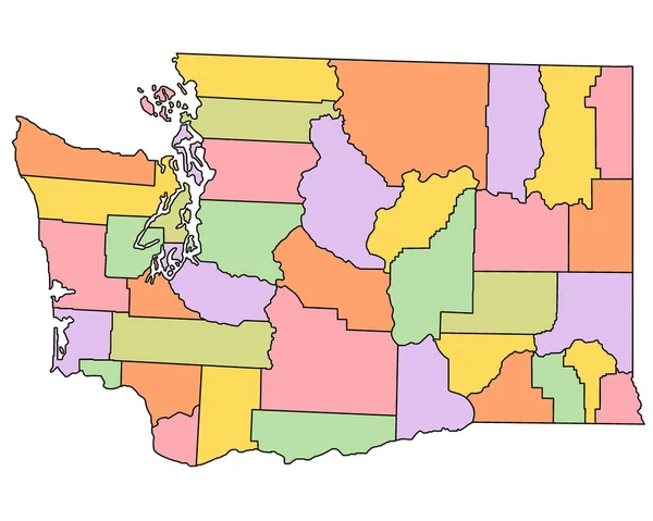
Washington DC administrative map. counties map of Washington dc with different colours, blank Map, empty map of Washington.
Washington Administrative Map Counties Map Washington Different Colours Blank Map — Stock Photo, Image
Three-dimensional map of Utah. USA.
Three-dimensional map of Utah. USA. — Stock Photo, Image
USA on grey political globe
USA on grey political globe — Stock Photo, Image
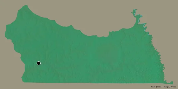
Shape of Kolda, region of Senegal, with its capital isolated on a solid color background. Topographic relief map. 3D rendering
Shape Kolda Region Senegal Its Capital Isolated Solid Color Background — Stock Photo, Image
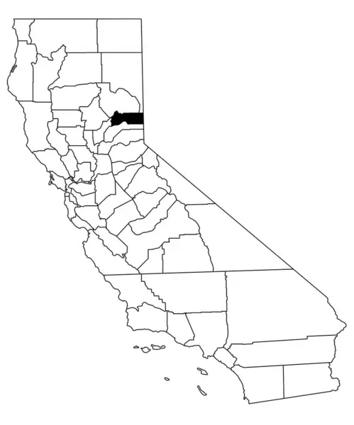
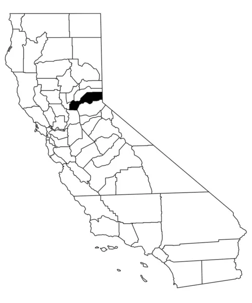
Map of Sierra County in California state on white background. single County map highlighted by black colour on California map. UNITED STATES, US
Map Sierra County California State White Background Single County Map — Stock Photo, Image
3d Render of the United States Highlighting Utah
3d Render of the United States Highlighting Utah — Stock Photo, Image
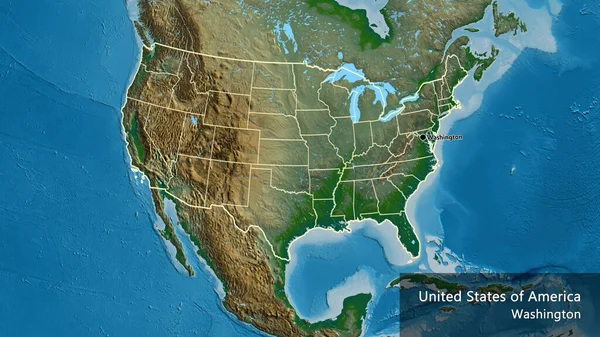
Close-up of the United States of America border area and its regional borders on a physical map. Capital point. Outline around the country shape. English name of the country and its capital
Close United States America Border Area Its Regional Borders Physical — Stock Photo, Image
USA on globe
USA on globe — Stock Photo, Image
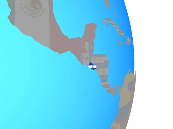
El Salvador with national flag on simple political globe. 3D illustration.
Salvador National Flag Simple Political Globe Illustration — Stock Photo, Image
United States States Map
United States States Map — Stock Photo, Image
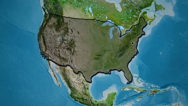
Close-up of the United States of America border area highlighting with a dark overlay on a satellite map. Capital point. Bevelled edges of the country shape.
Close United States America Border Area Highlighting Dark Overlay Satellite — Stock Photo, Image
Shape of Arkansas, state of Mainland United States, with its capital isolated on solid background. Distance scale, region preview and labels. Satellite imagery. 3D rendering
Shape Arkansas State Mainland United States Its Capital Isolated Solid — Stock Photo, Image
Shape of Arkansas, state of Mainland United States, with its capital isolated on white background. Topographic relief map. 3D rendering
Shape Arkansas State Mainland United States Its Capital Isolated White — Stock Photo, Image
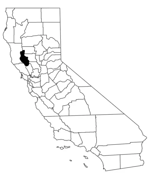
Map of Lake County in California state on white background. single County map highlighted by black colour on California map. UNITED STATES, US
Map Lake County California State White Background Single County Map — Stock Photo, Image
Three-dimensional map of Nevada. USA.
Three-dimensional map of Nevada. USA. — Stock Photo, Image
Three-dimensional map of Washington. USA.
Three-dimensional map of Washington. USA. — Stock Photo, Image
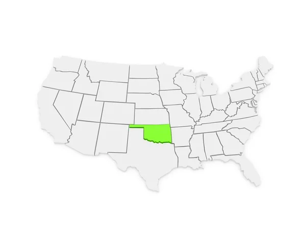
Three-dimensional map of Oklahoma. USA.
Three-dimensional map of Oklahoma. USA. — Stock Photo, Image
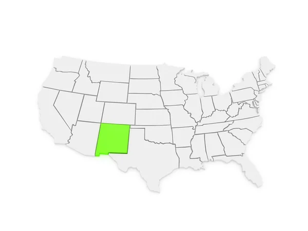
Three-dimensional map of New Mexico. USA.
Three-dimensional map of New Mexico. USA. — Stock Photo, Image
Shape of North Kurdufan, state of Sudan, and its capital. Distance scale, previews and labels. Colored elevation map. 3D rendering
Shape North Kurdufan State Sudan Its Capital Distance Scale Previews — Stock Photo, Image
Map of placer County in California state on white background. single County map highlighted by black colour on California map. UNITED STATES, US
Map Placer County California State White Background Single County Map — Stock Photo, Image
Wadi ash Shati', district of Libya. Solid color shape. Corner auxiliary location maps
Wadi Ash Shati District Libya Solid Color Shape Corner Auxiliary — Stock Photo, Image
Liberia on gray political globe with embedded flag. 3D illustration.
Liberia Gray Political Globe Embedded Flag Illustration — Stock Photo, Image
Political map of United States with the several states where Utah is highlighted.
Political Map United States Several States Utah Highlighted — Stock Photo, Image
Three-dimensional map of Arkansas.
Three-dimensional map of Arkansas. — Stock Photo, Image
Kicevo, municipality of Macedonia. Low resolution satellite map. Corner auxiliary location maps
Kicevo Municipality Macedonia Low Resolution Satellite Map Corner Auxiliary Location — Stock Photo, Image
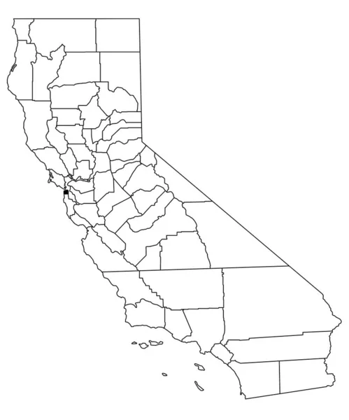
Map of San Francisco County in California state on white background. single County map highlighted by black colour on California map. UNITED STATES, US
Map San Francisco County California State White Background Single County — Stock Photo, Image
Minnesota, state of United States of America. Elevation map colored in wiki style with lakes and rivers
Minnesota State United States America Elevation Map Colored Wiki Style — Stock Photo, Image
Map of USA with separable borders
Map of USA with separable borders — Stock Photo, Image
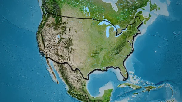
Close-up of the United States of America border area on a satellite map. Capital point. Bevelled edges of the country shape.
Close United States America Border Area Satellite Map Capital Point — Stock Photo, Image
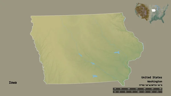
Shape of Iowa, state of Mainland United States, with its capital isolated on solid background. Distance scale, region preview and labels. Topographic relief map. 3D rendering
Shape Iowa State Mainland United States Its Capital Isolated Solid — Stock Photo, Image
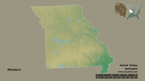
Shape of Missouri, state of Mainland United States, with its capital isolated on solid background. Distance scale, region preview and labels. Topographic relief map. 3D rendering
Shape Missouri State Mainland United States Its Capital Isolated Solid — Stock Photo, Image
Shkoder, county of Albania. Elevation map colored in wiki style with lakes and rivers. Corner auxiliary location maps
Shkoder County Albania Elevation Map Colored Wiki Style Lakes Rivers — Stock Photo, Image
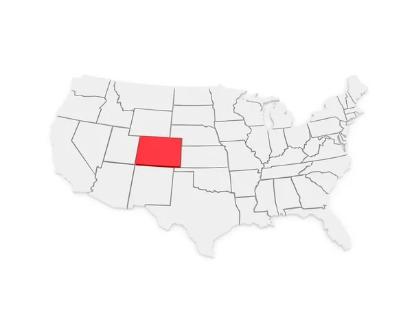
Three-dimensional map of Colorado. USA.
Three-dimensional map of Colorado. USA. — Stock Photo, Image
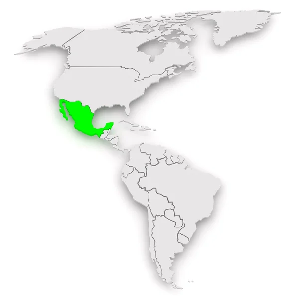
Map of worlds. Mexico.
Map of worlds. Mexico. — Stock Photo, Image
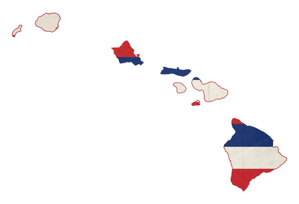
Grunge state of Hawaii flag map
Grunge state of Hawaii flag map — Stock Photo, Image
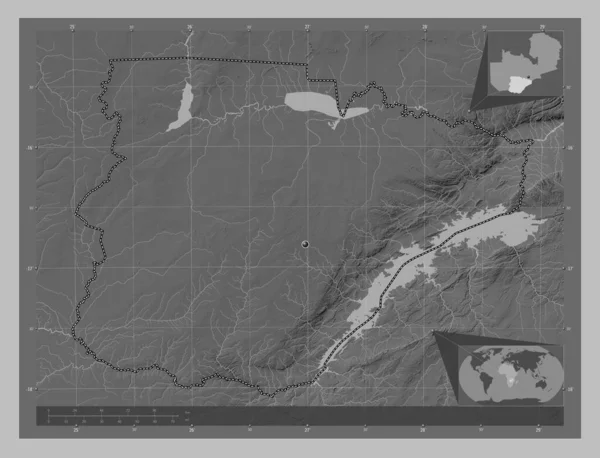
Southern, region of Zambia. Grayscale elevation map with lakes and rivers. Corner auxiliary location maps
Southern Region Zambia Grayscale Elevation Map Lakes Rivers Corner Auxiliary — Stock Photo, Image
Map Equatorial Guinea. Isolated Illustration. Black on White background.
Map Equatorial Guinea Isolated Illustration Black White Background — Stock Photo, Image
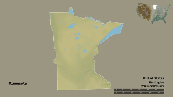
Shape of Minnesota, state of Mainland United States, with its capital isolated on solid background. Distance scale, region preview and labels. Topographic relief map. 3D rendering
Shape Minnesota State Mainland United States Its Capital Isolated Solid — Stock Photo, Image
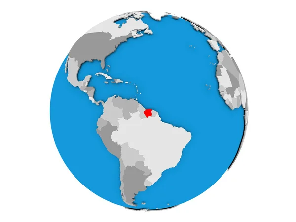
Suriname on globe isolated
Suriname on globe isolated — Stock Photo, Image
Shape of Angola with its capital isolated on white background. Bilevel elevation map. 3D rendering
Shape Angola Its Capital Isolated White Background Bilevel Elevation Map — Stock Photo, Image

Discover Great Visuals with US Map Images

If you're looking for the best imagery to convey your message, you can never go wrong with US map images. They're versatile, striking, and more importantly, relevant. From presentations, educational materials, infographics, to social media content, you can use these visuals to your heart's content. Stock image sites like Shutterstock, iStock, and Getty Images have a plethora of US map images that you can choose from, whether you need a vector, JPG or EPS file format.

Types of US Map Images Available

Whatever project you're working on, there's always a US map image that fits your need. You can choose from a wide array of map visuals such as colorful maps, black and white maps, vintage-style maps, maps with markers, maps with state outlines, and many more. You can also choose different styles of maps, such as political, physical, or topographical maps. With these stunning visuals, you'll surely capture audience attention in an instant.

Best Ways to Use US Map Images

One great way to use US map images is to include them in educational materials, such as textbooks, lesson plans, or classroom presentations. By including them, you can help students understand complex topics such as geography, history, and social studies in a more visual way. You can also use US map images in infographics or charts to show data visually. Finally, brand marketers and advertisers can use these visuals to promote their products or services while featuring locations across the country in their content.

Using US Map Images Properly

While US map images are undeniably captivating, there are still some tricks you should keep in mind when using them. First, always think about what message you want to convey. Choose the best type of US map image that fits your message. Second, be mindful of color contrast, and ensure that text is legible. Finally, when using US map images online, always optimize your images for web use to reduce file size and improve download speed. All of these factors contribute to better user experience and better results.

Conclusion

In conclusion, US map images are versatile, striking, and relevant. They can be used in different projects, from classroom materials, infographics, to marketing and advertising content. With a wide variety of styles and types to choose from, it's easy to find a US map image that fits your need. However, always keep in mind to use them properly to convey the right message and get great results. By using US map images effectively, you can capture audience attention and convey your message in a more visually appealing way.