Texas map Stock Photos

100,000 Texas map pictures are available under a royalty-free license

  • Best Match
  • Fresh
  • Popular
1-100 of 100,000
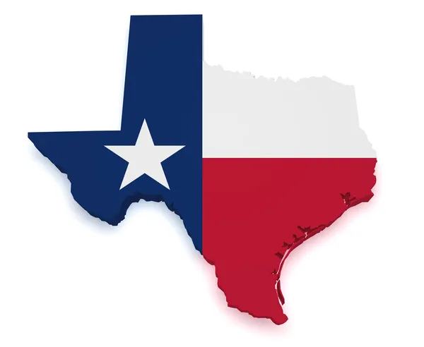
Texas Map 3d Shape
Texas Map 3d Shape — Stock Photo, Image
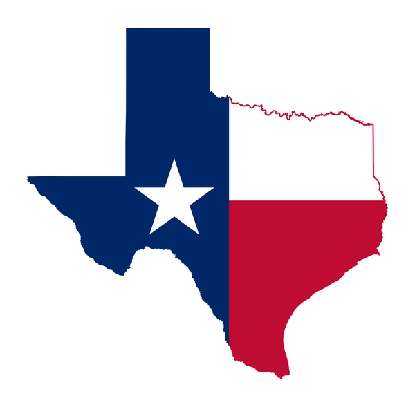
State of Texas flag map
State of Texas flag map — Stock Photo, Image
Texas map card paper 3D natural raster
Texas map card paper 3D natural raster — Stock Photo, Image
Cropped shot of business people having conversation with documents and speakerphone on table at modern office
Cropped Shot Business People Having Conversation Documents Speakerphone Table Modern — Stock Photo, Image
Businessmen shaking hands
Businessmen shaking hands — Stock Photo, Image
Arrow hit the center of target with modern skyscraper background. Business target achievement concept. 3D Rendering
Arrow hit the center of target with modern skyscraper background. Business target achievement concept. 3D Rendering — Stock Photo, Image
Top view of white jigsaw puzzle on yellow background
Top View White Jigsaw Puzzle Yellow Background — Stock Photo, Image
Map of Texas and Part of New Mexico compiled in the Bureau of Topographical Eng'rs. Chiefly for military purposes
Map Texas Part New Mexico Compiled Bureau Topographical Eng Chiefly — Stock Photo, Image
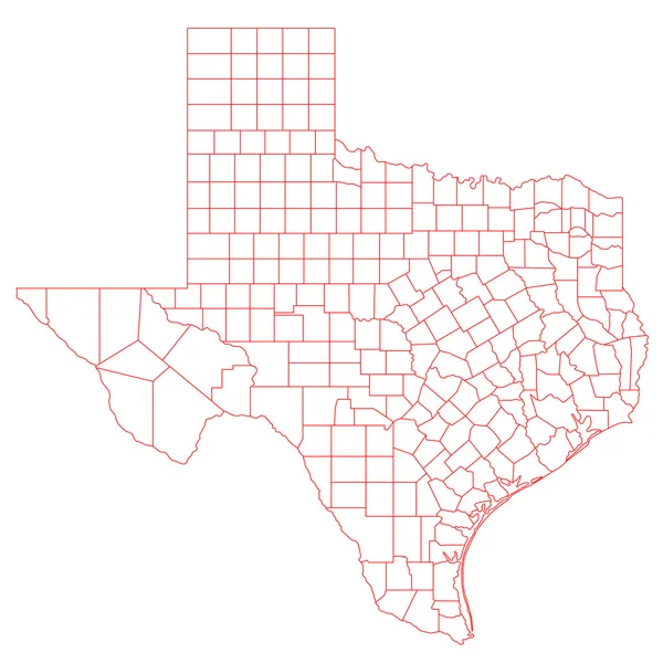
Texas Map
Texas Map — Stock Photo, Image
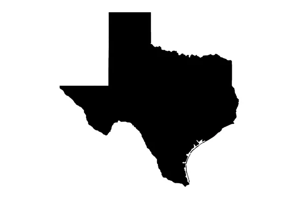
State of Texas map on white
State of Texas map on white — Stock Photo, Image
Oil and gas well silhouette in remote rural area
Oil and gas well silhouette in remote rural area — Stock Photo, Image
USA map
USA map — Stock Photo, Image
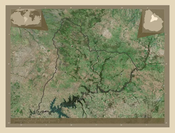
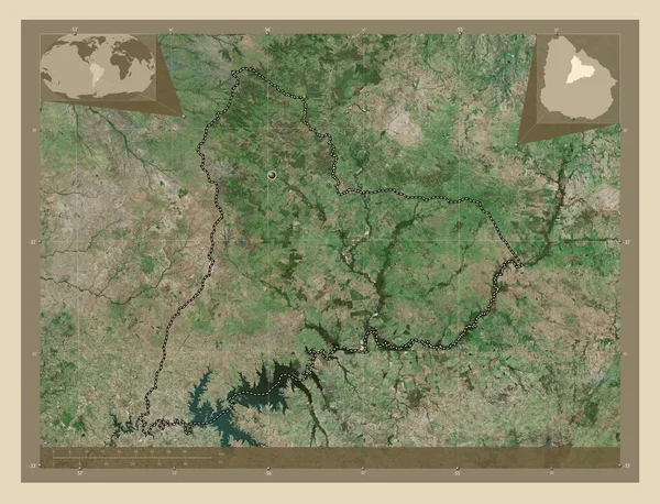
Tacuarembo, department of Uruguay. High resolution satellite map. Locations of major cities of the region. Corner auxiliary location maps
Tacuarembo Department Uruguay High Resolution Satellite Map Locations Major Cities — Stock Photo, Image
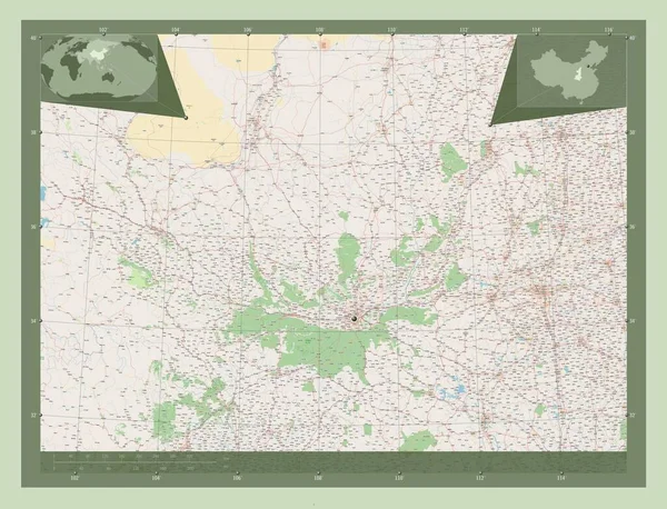
Shaanxi, province of China. Open Street Map. Corner auxiliary location maps
Shaanxi Province China Open Street Map Corner Auxiliary Location Maps — Stock Photo, Image
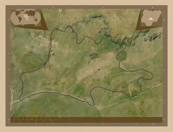
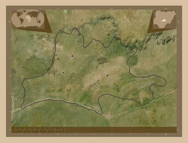
Nassarawa, state of Nigeria. Low resolution satellite map. Corner auxiliary location maps
Nassarawa State Nigeria Low Resolution Satellite Map Corner Auxiliary Location — Stock Photo, Image
Tacuarembo, department of Uruguay. High resolution satellite map. Corner auxiliary location maps
Tacuarembo Department Uruguay High Resolution Satellite Map Corner Auxiliary Location — Stock Photo, Image
Nord, region of Burkina Faso. Open Street Map. Corner auxiliary location maps
Nord Region Burkina Faso Open Street Map Corner Auxiliary Location — Stock Photo, Image
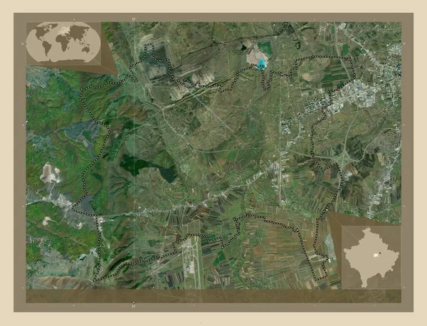
Fushe Kosove, municipality of Kosovo. High resolution satellite map. Locations of major cities of the region. Corner auxiliary location maps
Fushe Kosove Municipality Kosovo High Resolution Satellite Map Locations Major — Stock Photo, Image
Fushe Kosove, municipality of Kosovo. High resolution satellite map. Corner auxiliary location maps
Fushe Kosove Municipality Kosovo High Resolution Satellite Map Corner Auxiliary — Stock Photo, Image
Fushe Kosove, municipality of Kosovo. High resolution satellite map. Locations of major cities of the region. Corner auxiliary location maps
Fushe Kosove Municipality Kosovo High Resolution Satellite Map Locations Major — Stock Photo, Image
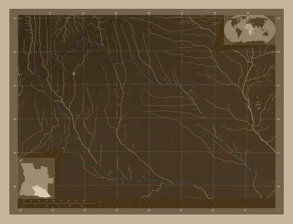
Cuando Cubango, province of Angola. Elevation map colored in sepia tones with lakes and rivers. Locations of major cities of the region. Corner auxiliary location maps
Cuando Cubango Province Angola Elevation Map Colored Sepia Tones Lakes — Stock Photo, Image
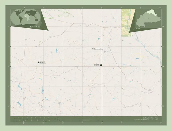
Sahel, region of Burkina Faso. Open Street Map. Corner auxiliary location maps
Sahel Region Burkina Faso Open Street Map Corner Auxiliary Location — Stock Photo, Image
Ghanzi, district of Botswana. Elevation map colored in sepia tones with lakes and rivers. Locations of major cities of the region. Corner auxiliary location maps
Ghanzi District Botswana Elevation Map Colored Sepia Tones Lakes Rivers — Stock Photo, Image
East Kazakhstan, region of Kazakhstan. Solid color shape. Locations and names of major cities of the region. Corner auxiliary location maps
East Kazakhstan Region Kazakhstan Solid Color Shape Locations Names Major — Stock Photo, Image
Sahel, region of Burkina Faso. Open Street Map. Locations and names of major cities of the region. Corner auxiliary location maps
Sahel Region Burkina Faso Open Street Map Locations Names Major — Stock Photo, Image
Nassarawa, state of Nigeria. Low resolution satellite map. Locations of major cities of the region. Corner auxiliary location maps
Nassarawa State Nigeria Low Resolution Satellite Map Locations Major Cities — Stock Photo, Image
Vector map Mali. Isolated vector Illustration. Black on White background. EPS 10 Illustration.
Vector Map Mali Isolated Vector Illustration Black White Background Eps — Stock Photo, Image
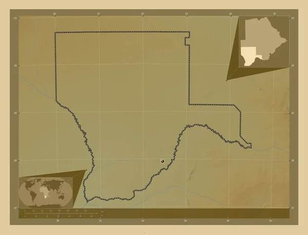
Kgalagadi, district of Botswana. Colored elevation map with lakes and rivers. Locations of major cities of the region. Corner auxiliary location maps
Kgalagadi District Botswana Colored Elevation Map Lakes Rivers Locations Major — Stock Photo, Image
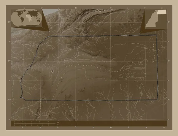
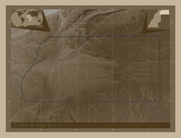
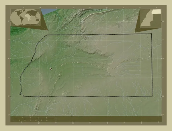
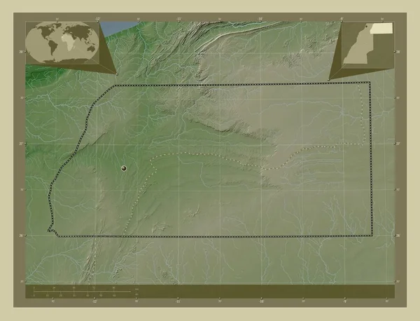
Es Semara, province of Western Sahara. Elevation map colored in sepia tones with lakes and rivers. Corner auxiliary location maps
Semara Province Western Sahara Elevation Map Colored Sepia Tones Lakes — Stock Photo, Image
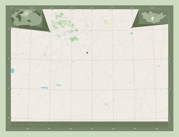
Ovorhangay, province of Mongolia. Open Street Map. Corner auxiliary location maps
Ovorhangay Province Mongolia Open Street Map Corner Auxiliary Location Maps — Stock Photo, Image
Tacuarembo, department of Uruguay. High resolution satellite map. Locations and names of major cities of the region. Corner auxiliary location maps
Tacuarembo Department Uruguay High Resolution Satellite Map Locations Names Major — Stock Photo, Image
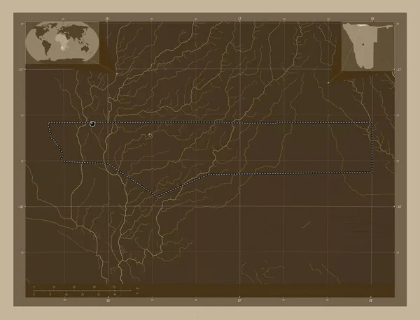
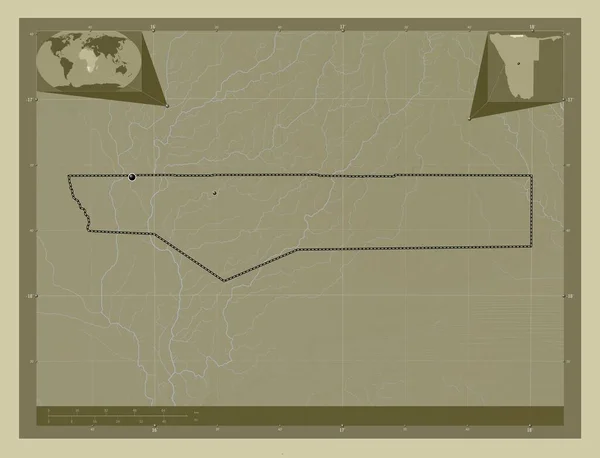
Ohangwena, region of Namibia. Elevation map colored in sepia tones with lakes and rivers. Corner auxiliary location maps
Ohangwena Region Namibia Elevation Map Colored Sepia Tones Lakes Rivers — Stock Photo, Image
Lozovo, municipality of Macedonia. Low resolution satellite map. Corner auxiliary location maps
Lozovo Municipality Macedonia Low Resolution Satellite Map Corner Auxiliary Location — Stock Photo, Image
Cuando Cubango, province of Angola. Elevation map colored in sepia tones with lakes and rivers. Corner auxiliary location maps
Cuando Cubango Province Angola Elevation Map Colored Sepia Tones Lakes — Stock Photo, Image
Wadi ash Shati', district of Libya. Solid color shape. Corner auxiliary location maps
Wadi Ash Shati District Libya Solid Color Shape Corner Auxiliary — Stock Photo, Image
Kgalagadi, district of Botswana. Elevation map colored in sepia tones with lakes and rivers. Corner auxiliary location maps
Kgalagadi District Botswana Elevation Map Colored Sepia Tones Lakes Rivers — Stock Photo, Image
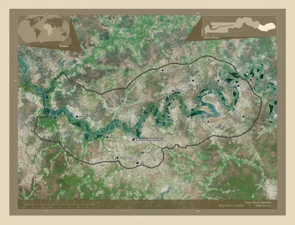
Upper River, division of Gambia. High resolution satellite map. Corner auxiliary location maps
Upper River Division Gambia High Resolution Satellite Map Corner Auxiliary — Stock Photo, Image
Kgalagadi, district of Botswana. Elevation map colored in wiki style with lakes and rivers. Locations of major cities of the region. Corner auxiliary location maps
Kgalagadi District Botswana Elevation Map Colored Wiki Style Lakes Rivers — Stock Photo, Image
Kansas, state of United States of America. Open Street Map. Corner auxiliary location maps
Kansas State United States America Open Street Map Corner Auxiliary — Stock Photo, Image
Kgalagadi, district of Botswana. Grayscale elevation map with lakes and rivers. Corner auxiliary location maps
Kgalagadi District Botswana Grayscale Elevation Map Lakes Rivers Corner Auxiliary — Stock Photo, Image
Southern Savonia, region of Finland. Colored elevation map with lakes and rivers. Locations of major cities of the region. Corner auxiliary location maps
Southern Savonia Region Finland Colored Elevation Map Lakes Rivers Locations — Stock Photo, Image
Ghanzi, district of Botswana. Elevation map colored in sepia tones with lakes and rivers. Corner auxiliary location maps
Ghanzi District Botswana Elevation Map Colored Sepia Tones Lakes Rivers — Stock Photo, Image
Ovorhangay, province of Mongolia. Open Street Map. Locations and names of major cities of the region. Corner auxiliary location maps
Ovorhangay Province Mongolia Open Street Map Locations Names Major Cities — Stock Photo, Image
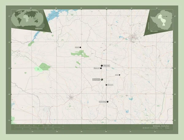
Midlands, province of Zimbabwe. Open Street Map. Locations and names of major cities of the region. Corner auxiliary location maps
Midlands Province Zimbabwe Open Street Map Locations Names Major Cities — Stock Photo, Image
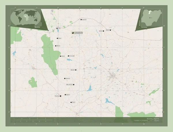
Katsina, state of Nigeria. Open Street Map. Locations and names of major cities of the region. Corner auxiliary location maps
Katsina State Nigeria Open Street Map Locations Names Major Cities — Stock Photo, Image
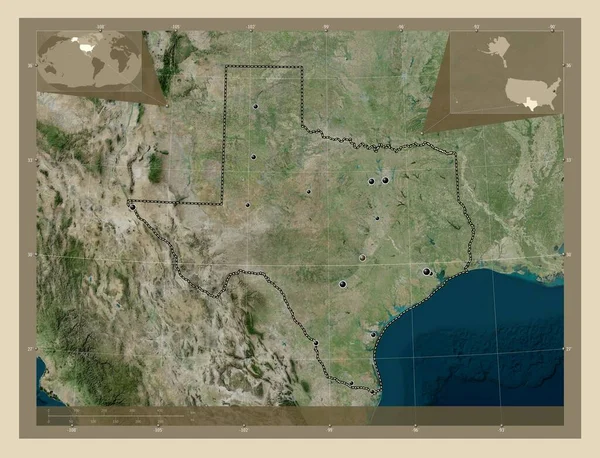
Texas, state of United States of America. High resolution satellite map. Locations of major cities of the region. Corner auxiliary location maps
Texas State United States America High Resolution Satellite Map Locations — Stock Photo, Image
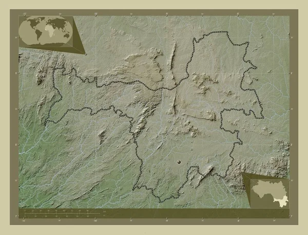
Nzerekore, region of Guinea. Elevation map colored in wiki style with lakes and rivers. Corner auxiliary location maps
Nzerekore Region Guinea Elevation Map Colored Wiki Style Lakes Rivers — Stock Photo, Image
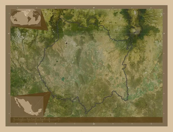
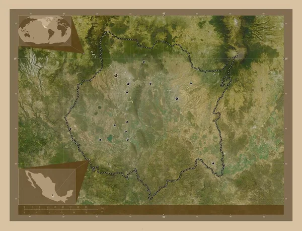
Morelos, state of Mexico. Low resolution satellite map. Corner auxiliary location maps
Morelos State Mexico Low Resolution Satellite Map Corner Auxiliary Location — Stock Photo, Image
Es Semara, province of Western Sahara. Elevation map colored in sepia tones with lakes and rivers. Corner auxiliary location maps
Semara Province Western Sahara Elevation Map Colored Sepia Tones Lakes — Stock Photo, Image
Upper River, division of Gambia. High resolution satellite map. Locations and names of major cities of the region. Corner auxiliary location maps
Upper River Division Gambia High Resolution Satellite Map Locations Names — Stock Photo, Image
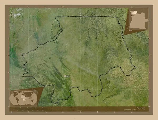
Uige, province of Angola. Low resolution satellite map. Locations and names of major cities of the region. Corner auxiliary location maps
Uige Province Angola Low Resolution Satellite Map Locations Names Major — Stock Photo, Image
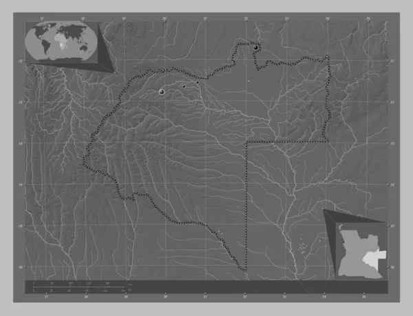
Moxico, province of Angola. Grayscale elevation map with lakes and rivers. Locations of major cities of the region. Corner auxiliary location maps
Moxico Province Angola Grayscale Elevation Map Lakes Rivers Locations Major — Stock Photo, Image
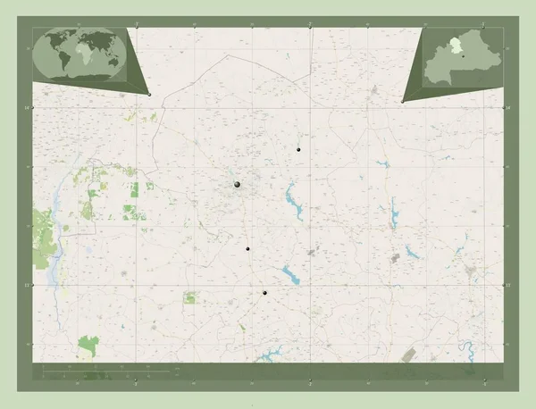
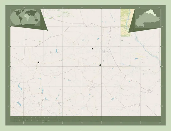
Nord, region of Burkina Faso. Open Street Map. Locations of major cities of the region. Corner auxiliary location maps
Nord Region Burkina Faso Open Street Map Locations Major Cities — Stock Photo, Image
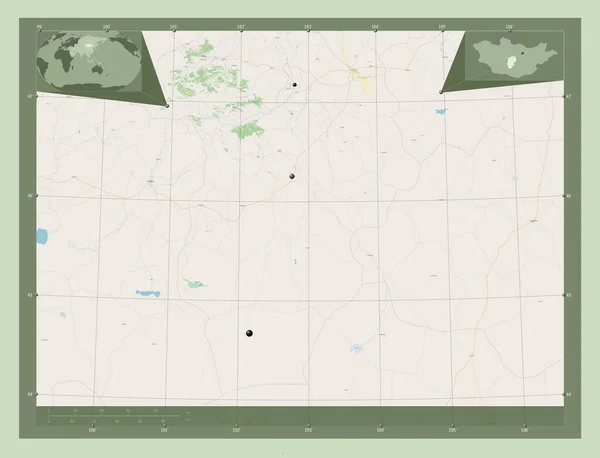
Ovorhangay, province of Mongolia. Open Street Map. Locations of major cities of the region. Corner auxiliary location maps
Ovorhangay Province Mongolia Open Street Map Locations Major Cities Region — Stock Photo, Image
Borkou, region of Chad. Open Street Map. Locations of major cities of the region. Corner auxiliary location maps
Borkou Region Chad Open Street Map Locations Major Cities Region — Stock Photo, Image
Borkou, region of Chad. Open Street Map. Corner auxiliary location maps
Borkou Region Chad Open Street Map Corner Auxiliary Location Maps — Stock Photo, Image
Al-Basrah, province of Iraq. Grayscale elevation map with lakes and rivers. Corner auxiliary location maps
Basrah Province Iraq Grayscale Elevation Map Lakes Rivers Corner Auxiliary — Stock Photo, Image
Es Semara, province of Western Sahara. Elevation map colored in wiki style with lakes and rivers. Corner auxiliary location maps
Semara Province Western Sahara Elevation Map Colored Wiki Style Lakes — Stock Photo, Image
Es Semara, province of Western Sahara. Elevation map colored in wiki style with lakes and rivers. Corner auxiliary location maps
Semara Province Western Sahara Elevation Map Colored Wiki Style Lakes — Stock Photo, Image
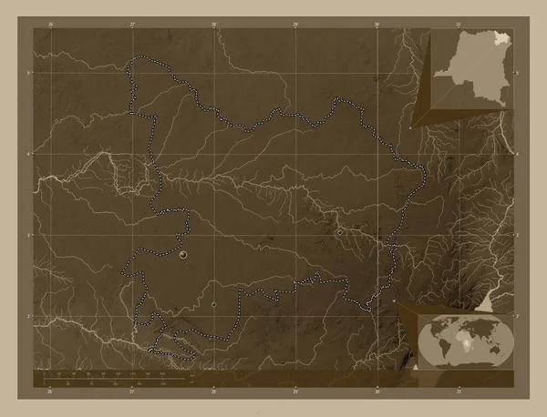
Haut-Uele, province of Democratic Republic of the Congo. Elevation map colored in sepia tones with lakes and rivers. Corner auxiliary location maps
Haut Uele Province Democratic Republic Congo Elevation Map Colored Sepia — Stock Photo, Image
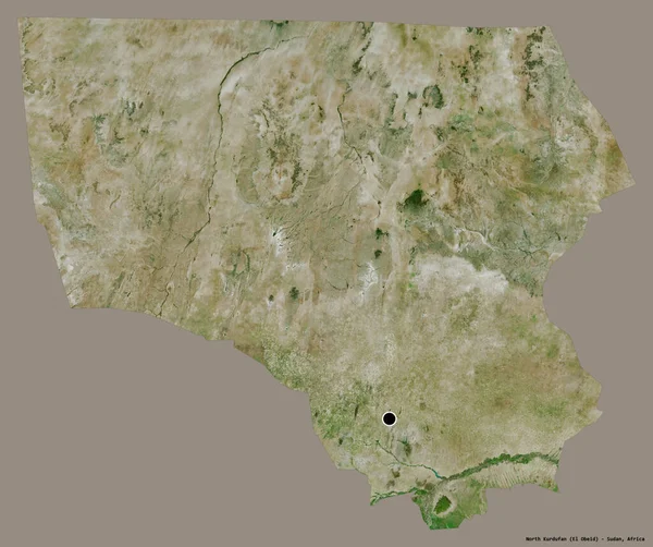
Shape of North Kurdufan, state of Sudan, with its capital isolated on a solid color background. Satellite imagery. 3D rendering
Shape North Kurdufan State Sudan Its Capital Isolated Solid Color — Stock Photo, Image
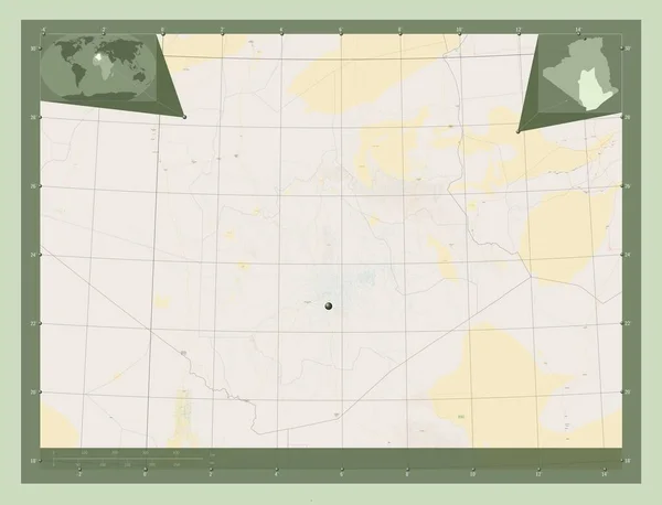
Tamanghasset, province of Algeria. Open Street Map. Corner auxiliary location maps
Tamanghasset Province Algeria Open Street Map Corner Auxiliary Location Maps — Stock Photo, Image
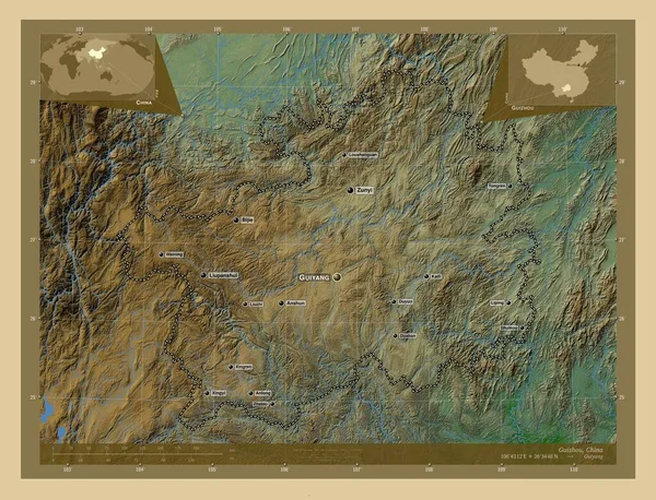
Guizhou, province of China. Colored elevation map with lakes and rivers. Locations and names of major cities of the region. Corner auxiliary location maps
Guizhou Province China Colored Elevation Map Lakes Rivers Locations Names — Stock Photo, Image
Lunda Norte, province of Angola. Bilevel elevation map with lakes and rivers. Corner auxiliary location maps
Lunda Norte Province Angola Bilevel Elevation Map Lakes Rivers Corner — Stock Photo, Image
Morelos, state of Mexico. Low resolution satellite map. Locations of major cities of the region. Corner auxiliary location maps
Morelos State Mexico Low Resolution Satellite Map Locations Major Cities — Stock Photo, Image
Huila, province of Angola. Open Street Map. Locations and names of major cities of the region. Corner auxiliary location maps
Huila Province Angola Open Street Map Locations Names Major Cities — Stock Photo, Image
Ohangwena, region of Namibia. Elevation map colored in sepia tones with lakes and rivers. Locations of major cities of the region. Corner auxiliary location maps
Ohangwena Region Namibia Elevation Map Colored Sepia Tones Lakes Rivers — Stock Photo, Image
Haut-Uele, province of Democratic Republic of the Congo. Elevation map colored in sepia tones with lakes and rivers. Locations of major cities of the region. Corner auxiliary location maps
Haut Uele Province Democratic Republic Congo Elevation Map Colored Sepia — Stock Photo, Image
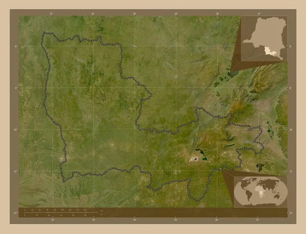
Lualaba, province of Democratic Republic of the Congo. Low resolution satellite map. Corner auxiliary location maps
Lualaba Province Democratic Republic Congo Low Resolution Satellite Map Corner — Stock Photo, Image
Lualaba, province of Democratic Republic of the Congo. Low resolution satellite map. Locations of major cities of the region. Corner auxiliary location maps
Lualaba Province Democratic Republic Congo Low Resolution Satellite Map Locations — Stock Photo, Image
Sassandra-Marahoue, district of Cote d'Ivoire. Elevation map colored in sepia tones with lakes and rivers. Locations of major cities of the region. Corner auxiliary location maps
Sassandra Marahoue District Cote Ivoire Elevation Map Colored Sepia Tones — Stock Photo, Image
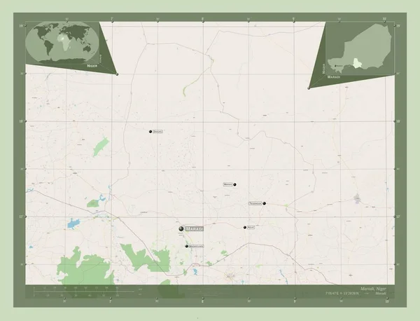
Maradi, department of Niger. Open Street Map. Locations and names of major cities of the region. Corner auxiliary location maps
Maradi Department Niger Open Street Map Locations Names Major Cities — Stock Photo, Image
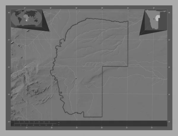
Omaheke, region of Namibia. Bilevel elevation map with lakes and rivers. Locations of major cities of the region. Corner auxiliary location maps
Omaheke Region Namibia Bilevel Elevation Map Lakes Rivers Locations Major — Stock Photo, Image
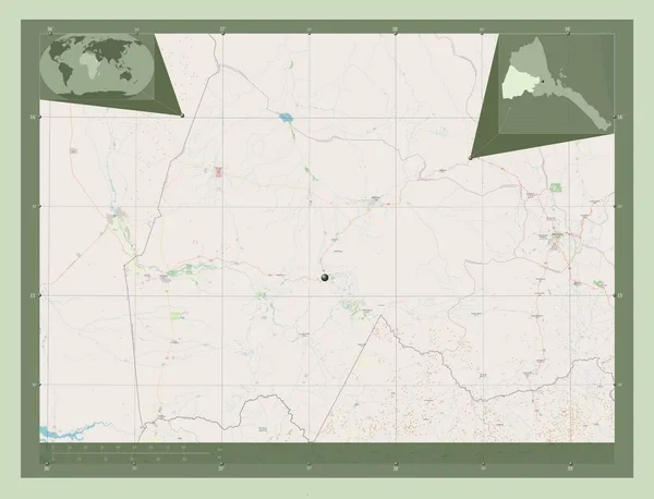
Gash Barka, region of Eritrea. Open Street Map. Corner auxiliary location maps
Gash Barka Region Eritrea Open Street Map Corner Auxiliary Location — Stock Photo, Image
Sud-Ouest, region of Burkina Faso. Open Street Map. Corner auxiliary location maps
Sud Ouest Region Burkina Faso Open Street Map Corner Auxiliary — Stock Photo, Image
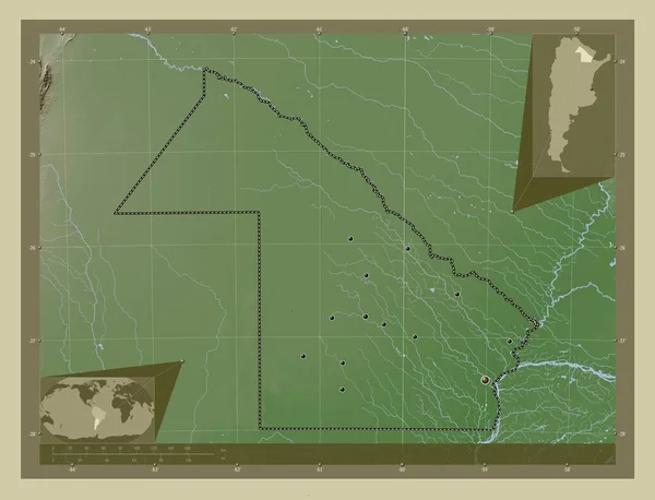
Chaco, province of Argentina. Elevation map colored in wiki style with lakes and rivers. Locations of major cities of the region. Corner auxiliary location maps
Chaco Province Argentina Elevation Map Colored Wiki Style Lakes Rivers — Stock Photo, Image
Kgalagadi, district of Botswana. Colored elevation map with lakes and rivers. Corner auxiliary location maps
Kgalagadi District Botswana Colored Elevation Map Lakes Rivers Corner Auxiliary — Stock Photo, Image
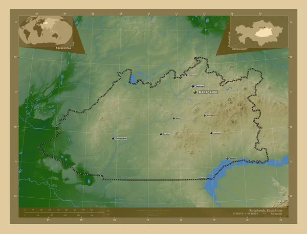
Qaraghandy, region of Kazakhstan. Colored elevation map with lakes and rivers. Locations and names of major cities of the region. Corner auxiliary location maps
Qaraghandy Region Kazakhstan Colored Elevation Map Lakes Rivers Locations Names — Stock Photo, Image
Ohangwena, region of Namibia. Elevation map colored in wiki style with lakes and rivers. Locations of major cities of the region. Corner auxiliary location maps
Ohangwena Region Namibia Elevation Map Colored Wiki Style Lakes Rivers — Stock Photo, Image
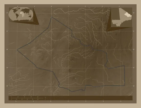
Kidal, region of Mali. Elevation map colored in sepia tones with lakes and rivers. Corner auxiliary location maps
Kidal Region Mali Elevation Map Colored Sepia Tones Lakes Rivers — Stock Photo, Image
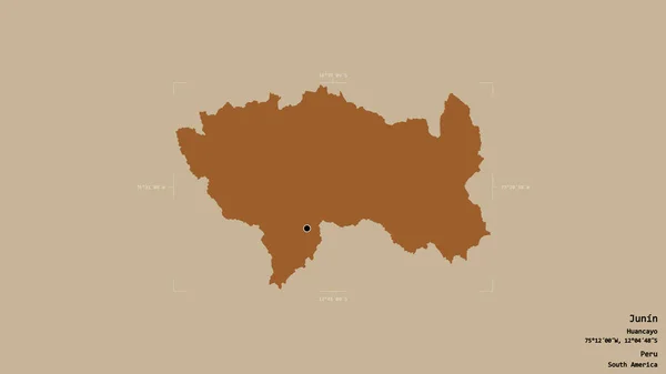
Area of Junin, region of Peru, isolated on a solid background in a georeferenced bounding box. Labels. Composition of patterned textures. 3D rendering
Area Junin Region Peru Isolated Solid Background Georeferenced Bounding Box — Stock Photo, Image
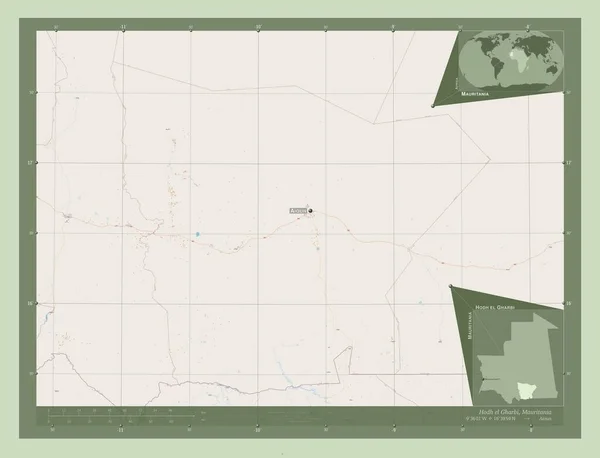
Hodh el Gharbi, region of Mauritania. Open Street Map. Locations and names of major cities of the region. Corner auxiliary location maps
Hodh Gharbi Region Mauritania Open Street Map Locations Names Major — Stock Photo, Image
Sahel, region of Burkina Faso. Open Street Map. Locations of major cities of the region. Corner auxiliary location maps
Sahel Region Burkina Faso Open Street Map Locations Major Cities — Stock Photo, Image
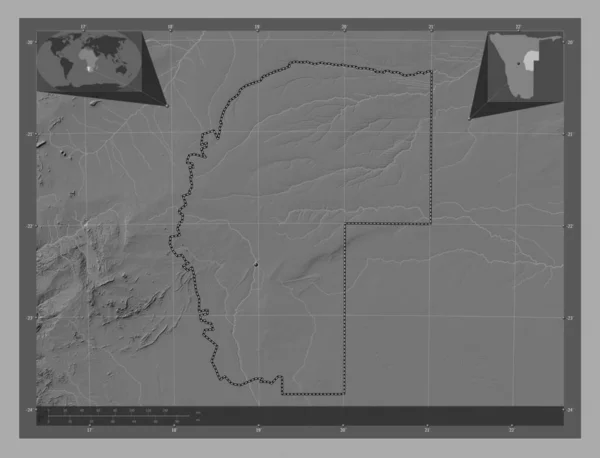
Omaheke, region of Namibia. Bilevel elevation map with lakes and rivers. Corner auxiliary location maps
Omaheke Region Namibia Bilevel Elevation Map Lakes Rivers Corner Auxiliary — Stock Photo, Image
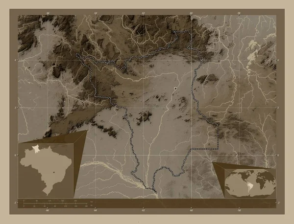
Roraima, state of Brazil. Elevation map colored in sepia tones with lakes and rivers. Corner auxiliary location maps
Roraima State Brazil Elevation Map Colored Sepia Tones Lakes Rivers — Stock Photo, Image
Roraima, state of Brazil. Elevation map colored in sepia tones with lakes and rivers. Locations of major cities of the region. Corner auxiliary location maps
Roraima State Brazil Elevation Map Colored Sepia Tones Lakes Rivers — Stock Photo, Image
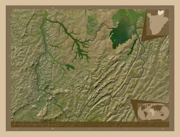
Kirundo, province of Burundi. Low resolution satellite map. Corner auxiliary location maps
Kirundo Province Burundi Low Resolution Satellite Map Corner Auxiliary Location — Stock Photo, Image
Kirundo, province of Burundi. Low resolution satellite map. Locations of major cities of the region. Corner auxiliary location maps
Kirundo Province Burundi Low Resolution Satellite Map Locations Major Cities — Stock Photo, Image
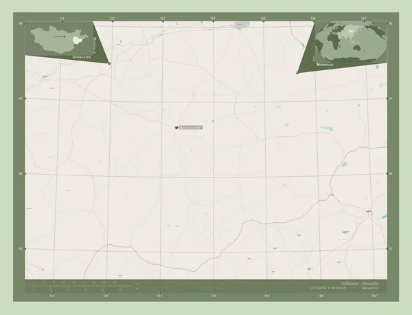
Suhbaatar, province of Mongolia. Open Street Map. Locations and names of major cities of the region. Corner auxiliary location maps
Suhbaatar Province Mongolia Open Street Map Locations Names Major Cities — Stock Photo, Image
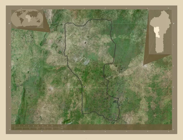
Donga, department of Benin. High resolution satellite map. Locations of major cities of the region. Corner auxiliary location maps
Donga Department Benin High Resolution Satellite Map Locations Major Cities — Stock Photo, Image
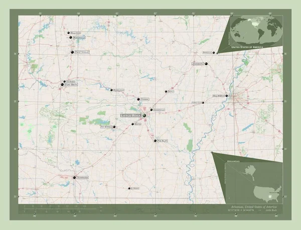
Arkansas, state of United States of America. Open Street Map. Locations and names of major cities of the region. Corner auxiliary location maps
Arkansas State United States America Open Street Map Locations Names — Stock Photo, Image
Map Comoros. Isolated Illustration. Black on White background.
Map Comoros Isolated Illustration Black White Background — Stock Photo, Image
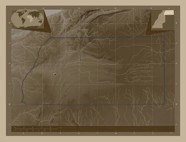
Es Semara, province of Western Sahara. Elevation map colored in sepia tones with lakes and rivers. Locations of major cities of the region. Corner auxiliary location maps
Semara Province Western Sahara Elevation Map Colored Sepia Tones Lakes — Stock Photo, Image
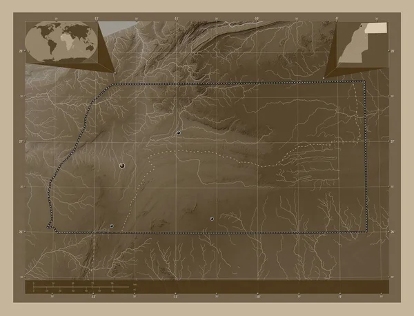
Es Semara, province of Western Sahara. Elevation map colored in sepia tones with lakes and rivers. Locations of major cities of the region. Corner auxiliary location maps
Semara Province Western Sahara Elevation Map Colored Sepia Tones Lakes — Stock Photo, Image
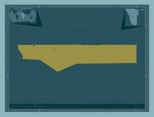
Ohangwena, region of Namibia. Solid color shape. Locations of major cities of the region. Corner auxiliary location maps
Ohangwena Region Namibia Solid Color Shape Locations Major Cities Region — Stock Photo, Image

Texas Map Images: Find the Perfect Visuals for Your Next Project

If you're looking for high-quality Texas map images, you've come to the right place! Our collection of stock images includes a variety of maps designed to meet your needs. Whether you're creating a travel brochure, designing a website, or working on a presentation, our Texas map images will add the perfect touch of local flavor.

Types of Texas Map Images Available

We offer several types of Texas map images, including traditional and modern styles. If you're looking for a classic map with hand-drawn details, we have several options to choose from. For a more modern feel, we offer maps with clean lines and bold colors. Our maps are available in a variety of file formats, including JPG, AI, and EPS.

Where to Use Texas Map Images

Our Texas map images are perfect for a wide range of projects. Use them to create custom invitations, flyers, or promotional materials for your next event. Incorporate them into your website or social media strategy to appeal to local customers. Or use them in presentations to add an extra level of detail and excitement.

Tips for Using Texas Map Images Effectively

When using Texas map images in your projects, keep in mind the purpose of your visual. Consider how it will be viewed and by whom. Will it be printed or viewed on a screen? Is it aimed at a local or global audience? Choose a map that will effectively communicate your message and complement the overall design of your project.

Another key consideration when using Texas map images is the file format you choose. If you're planning to use your map in a printed piece, make sure the resolution is high enough to ensure a clear, crisp image. If you're using it on a website, consider the file size and loading time. Choose a format that will display properly on any device and won't slow down your website's performance.

By following these tips and browsing our selection of high-quality Texas map images, you're sure to find the perfect visual to take your project to the next level.