Uganda map Stock Photos

100,000 Uganda map pictures are available under a royalty-free license

  • Best Match
  • Fresh
  • Popular
1-100 of 100,000
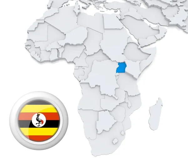
Uganda on Africa map
Uganda on Africa map — Stock Photo, Image
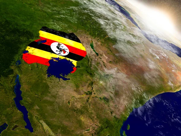
Uganda with flag in rising sun
Uganda with flag in rising sun — Stock Photo, Image
Map of worlds. Uganda.
Map of worlds. Uganda. — Stock Photo, Image
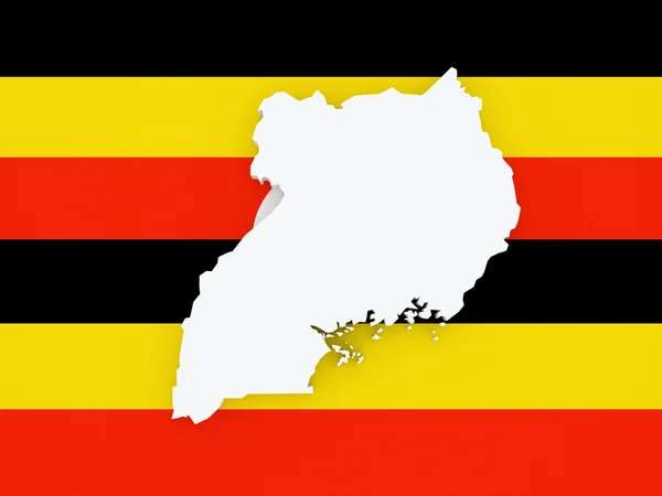
Map of Uganda.
Map of Uganda. — Stock Photo, Image
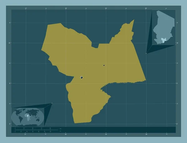
Moyen-Chari, region of Chad. Solid color shape. Locations of major cities of the region. Corner auxiliary location maps
Moyen Chari Region Chad Solid Color Shape Locations Major Cities — Stock Photo, Image
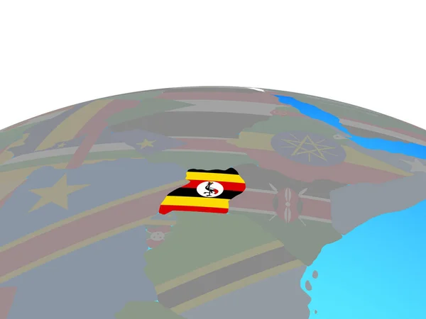
Flag of Uganda on political globe
Flag of Uganda on political globe — Stock Photo, Image
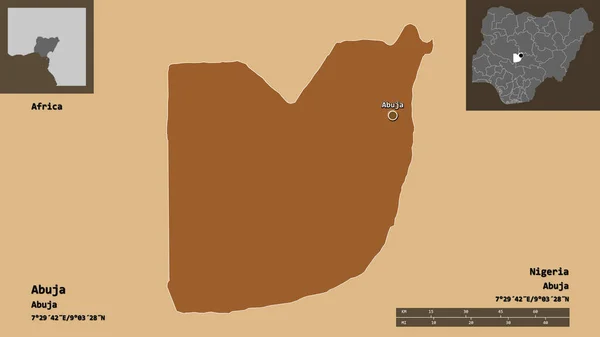
Shape of Abuja, federal capital territory of Nigeria, and its capital. Distance scale, previews and labels. Composition of regularly patterned textures. 3D rendering
Shape Abuja Federal Capital Territory Nigeria Its Capital Distance Scale — Stock Photo, Image
Map of Uruguay
Map of Uruguay — Stock Photo, Image
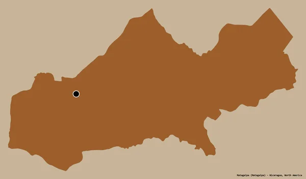
Shape of Matagalpa, department of Nicaragua, with its capital isolated on a solid color background. Composition of patterned textures. 3D rendering
Shape Matagalpa Department Nicaragua Its Capital Isolated Solid Color Background — Stock Photo, Image
Map of Northeast Region Development Romania.
Map of Northeast Region Development Romania. — Stock Photo, Image
Uganda with national flag on political globe. 3D illustration.
Uganda National Flag Political Globe Illustration — Stock Photo, Image
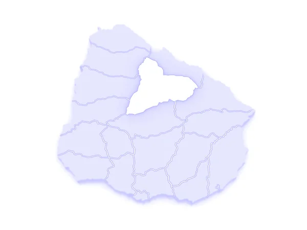
Map of Takuarembo. Uruguay.
Map of Takuarembo. Uruguay. — Stock Photo, Image
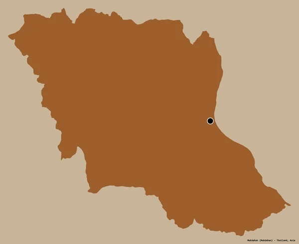
Shape of Mukdahan, province of Thailand, with its capital isolated on a solid color background. Composition of patterned textures. 3D rendering
Shape Mukdahan Province Thailand Its Capital Isolated Solid Color Background — Stock Photo, Image
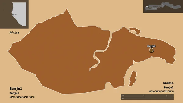
Shape of Banjul, independent city of Gambia, and its capital. Distance scale, previews and labels. Composition of patterned textures. 3D rendering
Shape Banjul Independent City Gambia Its Capital Distance Scale Previews — Stock Photo, Image
Moyen-Chari, region of Chad. Solid color shape. Corner auxiliary location maps
Moyen Chari Region Chad Solid Color Shape Corner Auxiliary Location — Stock Photo, Image
Moyen-Chari, region of Chad. Grayscale elevation map with lakes and rivers. Corner auxiliary location maps
Moyen Chari Region Chad Grayscale Elevation Map Lakes Rivers Corner — Stock Photo, Image
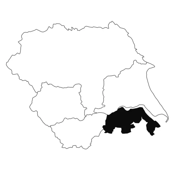
Map of South Lincolnshire in Yorkshire and the Humber province on white background. single County map highlighted by black colour on Yorkshire and the Humber, England administrative map.
Map South Lincolnshire Yorkshire Humber Province White Background Single County — Stock Photo, Image
Shape of Sokoto, state of Nigeria, with its capital isolated on white background. Bilevel elevation map. 3D rendering
Shape Sokoto State Nigeria Its Capital Isolated White Background Bilevel — Stock Photo, Image
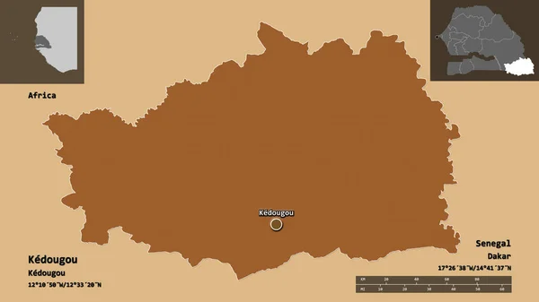
Shape of Kedougou, region of Senegal, and its capital. Distance scale, previews and labels. Composition of patterned textures. 3D rendering
Shape Kedougou Region Senegal Its Capital Distance Scale Previews Labels — Stock Photo, Image
Political map of Uganda on globe with flag
Political map of Uganda on globe with flag — Stock Photo, Image
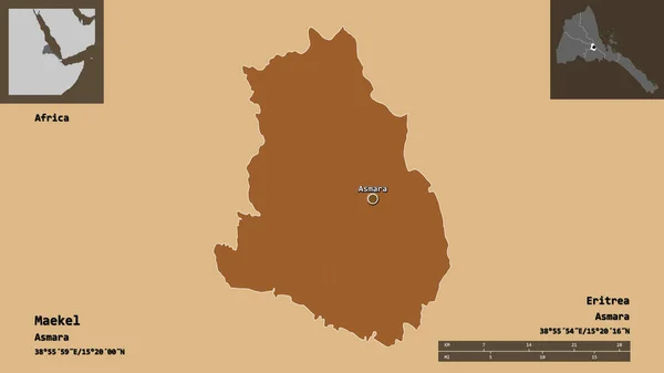
Shape of Maekel, region of Eritrea, and its capital. Distance scale, previews and labels. Composition of patterned textures. 3D rendering
Shape Maekel Region Eritrea Its Capital Distance Scale Previews Labels — Stock Photo, Image
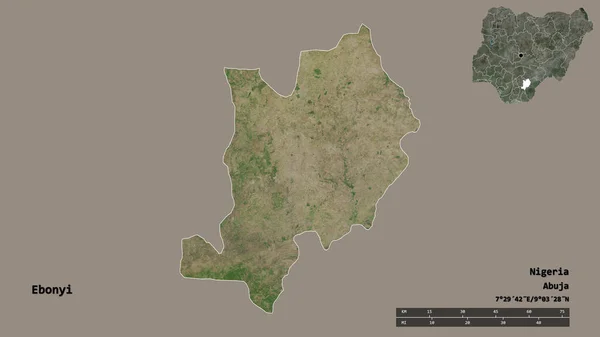
Shape of Ebonyi, state of Nigeria, with its capital isolated on solid background. Distance scale, region preview and labels. Satellite imagery. 3D rendering
Shape Ebonyi State Nigeria Its Capital Isolated Solid Background Distance — Stock Photo, Image
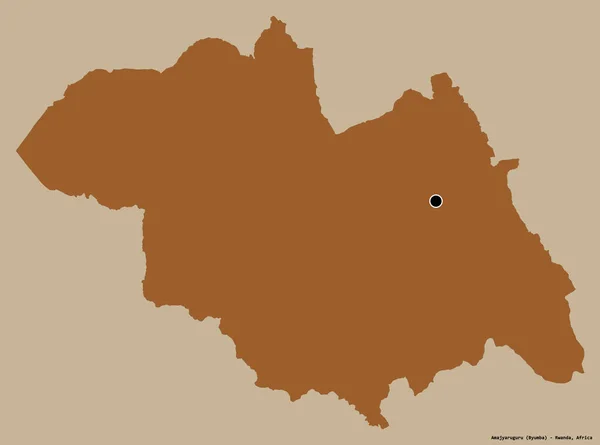
Shape of Amajyaruguru, province of Rwanda, with its capital isolated on a solid color background. Composition of patterned textures. 3D rendering
Shape Amajyaruguru Province Rwanda Its Capital Isolated Solid Color Background — Stock Photo, Image
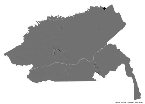
Shape of Guainia, commissiary of Colombia, with its capital isolated on white background. Bilevel elevation map. 3D rendering
Shape Guainia Commissiary Colombia Its Capital Isolated White Background Bilevel — Stock Photo, Image
Map of Rivera. Uruguay.
Map of Rivera. Uruguay. — Stock Photo, Image
Map of Brussels. Belgium.
Map of Brussels. Belgium. — Stock Photo, Image
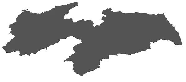
Map of Paraiba - Brazil
Map of Paraiba - Brazil — Stock Photo, Image
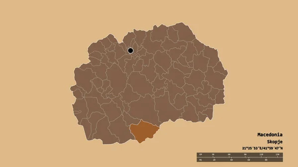
Desaturated shape of Macedonia with its capital, main regional division and the separated Resen area. Labels. Composition of regularly patterned textures. 3D rendering
Desaturated Shape Macedonia Its Capital Main Regional Division Separated Resen — Stock Photo, Image
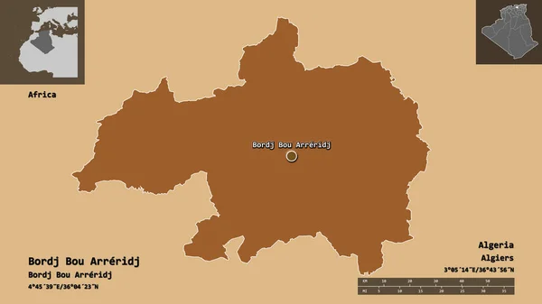
Shape of Bordj Bou Arreridj, province of Algeria, and its capital. Distance scale, previews and labels. Composition of patterned textures. 3D rendering
Shape Bordj Bou Arreridj Province Algeria Its Capital Distance Scale — Stock Photo, Image
Map of Flemish Brabant. Belgium.
Map of Flemish Brabant. Belgium. — Stock Photo, Image
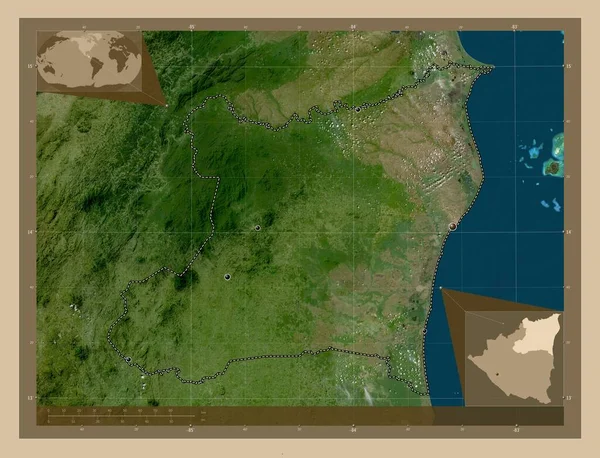
Atlantico Norte, autonomous region of Nicaragua. Low resolution satellite map. Locations of major cities of the region. Corner auxiliary location maps
Atlantico Norte Autonomous Region Nicaragua Low Resolution Satellite Map Locations — Stock Photo, Image
Shape of Kaffrine, region of Senegal, and its capital. Distance scale, previews and labels. Composition of patterned textures. 3D rendering
Shape Kaffrine Region Senegal Its Capital Distance Scale Previews Labels — Stock Photo, Image
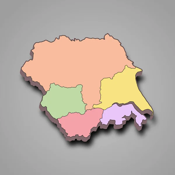
3d map of Yorkshire and the Humber is a region of England, with borders of the ceremonial counties and different colour.
Map Yorkshire Humber Region England Borders Ceremonial Counties Different Colour — Stock Photo, Image
Map of the country of Romania
Map of the country of Romania — Stock Photo, Image
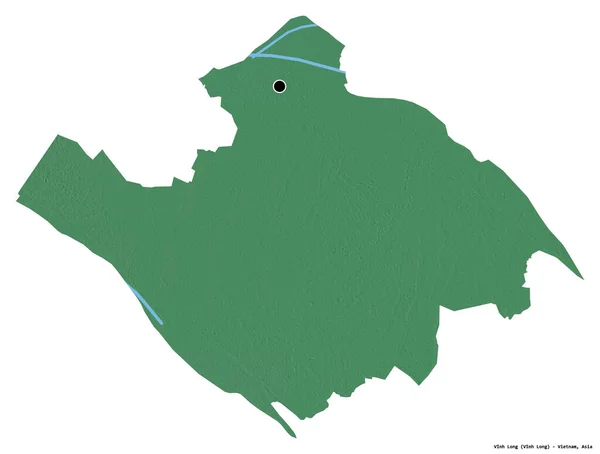
Shape of Vinh Long, province of Vietnam, with its capital isolated on white background. Topographic relief map. 3D rendering
Shape Vinh Long Province Vietnam Its Capital Isolated White Background — Stock Photo, Image
Republic of Hungary
Republic of Hungary — Stock Photo, Image
Desaturated shape of Romania with its capital, main regional division and the separated Salaj area. Labels. Composition of regularly patterned textures. 3D rendering
Desaturated Shape Romania Its Capital Main Regional Division Separated Salaj — Stock Photo, Image
Shape of Abuja, federal capital territory of Nigeria, and its capital. Distance scale, previews and labels. Satellite imagery. 3D rendering
Shape Abuja Federal Capital Territory Nigeria Its Capital Distance Scale — Stock Photo, Image
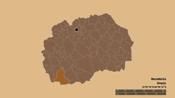
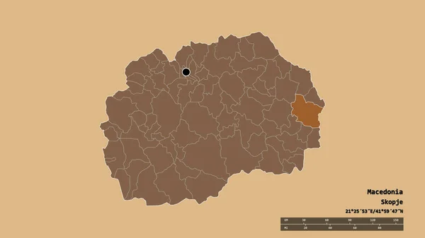
Desaturated shape of Macedonia with its capital, main regional division and the separated Gevgelija area. Labels. Composition of regularly patterned textures. 3D rendering
Desaturated Shape Macedonia Its Capital Main Regional Division Separated Gevgelija — Stock Photo, Image
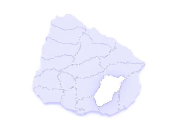
Map of Lavaleha. Uruguay.
Map of Lavaleha. Uruguay. — Stock Photo, Image
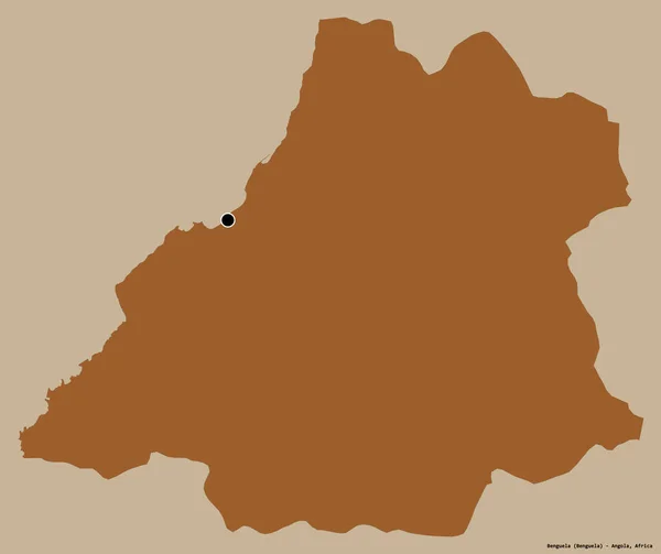
Shape of Benguela, province of Angola, with its capital isolated on a solid color background. Composition of patterned textures. 3D rendering
Shape Benguela Province Angola Its Capital Isolated Solid Color Background — Stock Photo, Image
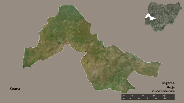
Shape of Kwara, state of Nigeria, with its capital isolated on solid background. Distance scale, region preview and labels. Satellite imagery. 3D rendering
Shape Kwara State Nigeria Its Capital Isolated Solid Background Distance — Stock Photo, Image
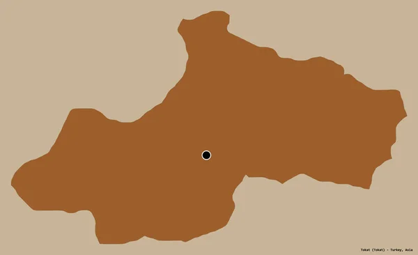
Shape of Tokat, province of Turkey, with its capital isolated on a solid color background. Composition of patterned textures. 3D rendering
Shape Tokat Province Turkey Its Capital Isolated Solid Color Background — Stock Photo, Image
Shape of Kampong Thum, province of Cambodia, with its capital isolated on white background. Colored elevation map. 3D rendering
Shape Kampong Thum Province Cambodia Its Capital Isolated White Background — Stock Photo, Image
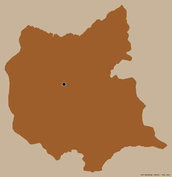
Shape of East Azarbaijan, province of Iran, with its capital isolated on a solid color background. Composition of patterned textures. 3D rendering
Shape East Azarbaijan Province Iran Its Capital Isolated Solid Color — Stock Photo, Image
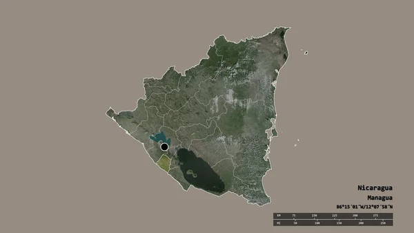
Desaturated shape of Nicaragua with its capital, main regional division and the separated Carazo area. Labels. Satellite imagery. 3D rendering
Desaturated Shape Nicaragua Its Capital Main Regional Division Separated Carazo — Stock Photo, Image
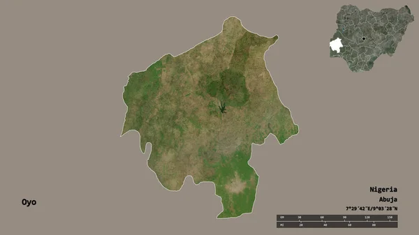
Shape of Oyo, state of Nigeria, with its capital isolated on solid background. Distance scale, region preview and labels. Satellite imagery. 3D rendering
Shape Oyo State Nigeria Its Capital Isolated Solid Background Distance — Stock Photo, Image
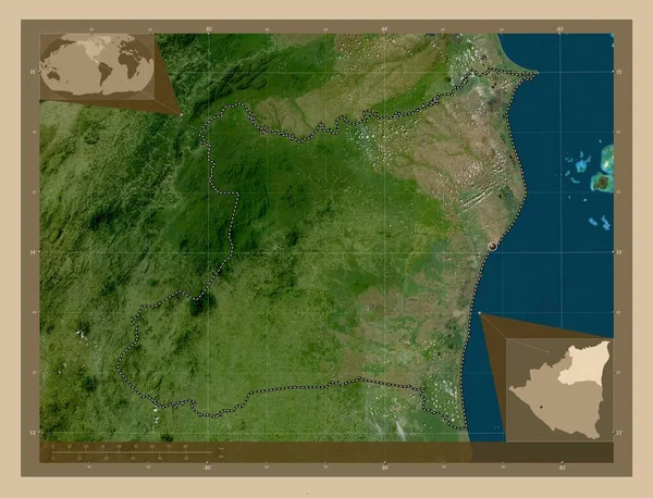
Atlantico Norte, autonomous region of Nicaragua. Low resolution satellite map. Corner auxiliary location maps
Atlantico Norte Autonomous Region Nicaragua Low Resolution Satellite Map Corner — Stock Photo, Image
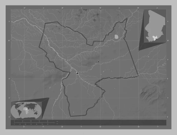
Moyen-Chari, region of Chad. Grayscale elevation map with lakes and rivers. Locations of major cities of the region. Corner auxiliary location maps
Moyen Chari Region Chad Grayscale Elevation Map Lakes Rivers Locations — Stock Photo, Image
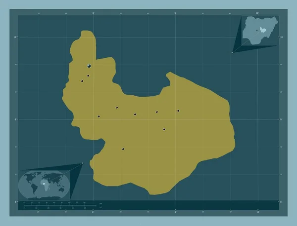
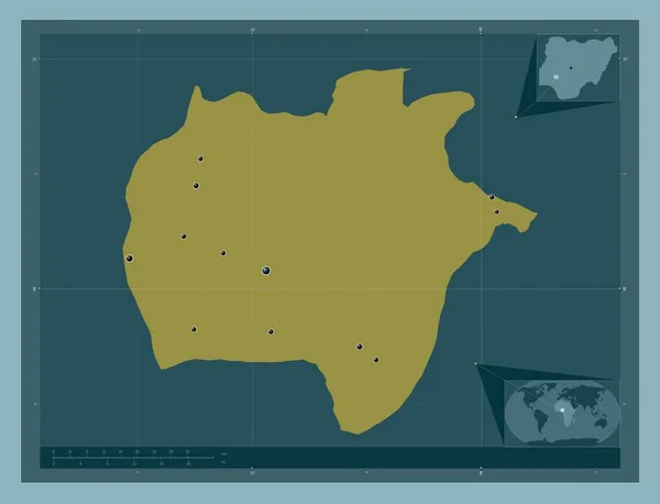
Plateau, state of Nigeria. Solid color shape. Locations of major cities of the region. Corner auxiliary location maps
Plateau State Nigeria Solid Color Shape Locations Major Cities Region — Stock Photo, Image
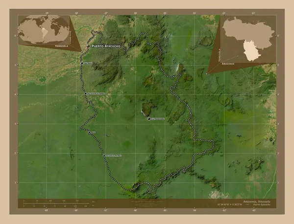
Amazonas, state of Venezuela. Low resolution satellite map. Locations and names of major cities of the region. Corner auxiliary location maps
Amazonas State Venezuela Low Resolution Satellite Map Locations Names Major — Stock Photo, Image
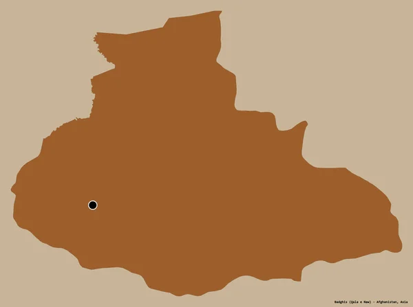
Shape of Badghis, province of Afghanistan, with its capital isolated on a solid color background. Composition of patterned textures. 3D rendering
Shape Badghis Province Afghanistan Its Capital Isolated Solid Color Background — Stock Photo, Image
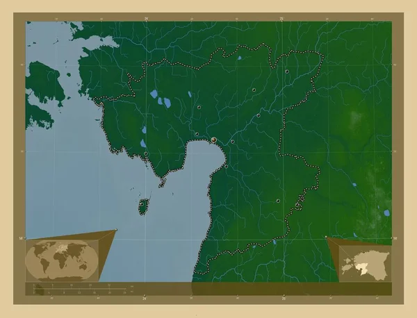
Parnu, county of Estonia. Colored elevation map with lakes and rivers. Locations of major cities of the region. Corner auxiliary location maps
Parnu County Estonia Colored Elevation Map Lakes Rivers Locations Major — Stock Photo, Image
Icon Illustration with Four Color Variations
Icon Illustration with Four Color Variations — Stock Photo, Image
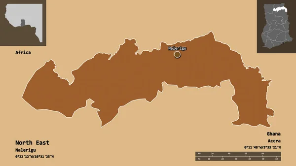
Shape of North East, region of Ghana, and its capital. Distance scale, previews and labels. Composition of patterned textures. 3D rendering
Shape North East Region Ghana Its Capital Distance Scale Previews — Stock Photo, Image
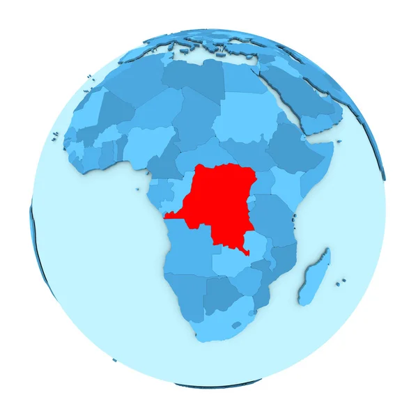
Democratic Republic of Congo on globe isolated
Democratic Republic of Congo on globe isolated — Stock Photo, Image
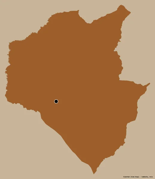
Shape of Siemreab, province of Cambodia, with its capital isolated on a solid color background. Composition of patterned textures. 3D rendering
Shape Siemreab Province Cambodia Its Capital Isolated Solid Color Background — Stock Photo, Image
Shape of Rutana, province of Burundi, with its capital isolated on white background. Composition of patterned textures. 3D rendering
Shape Rutana Province Burundi Its Capital Isolated White Background Composition — Stock Photo, Image
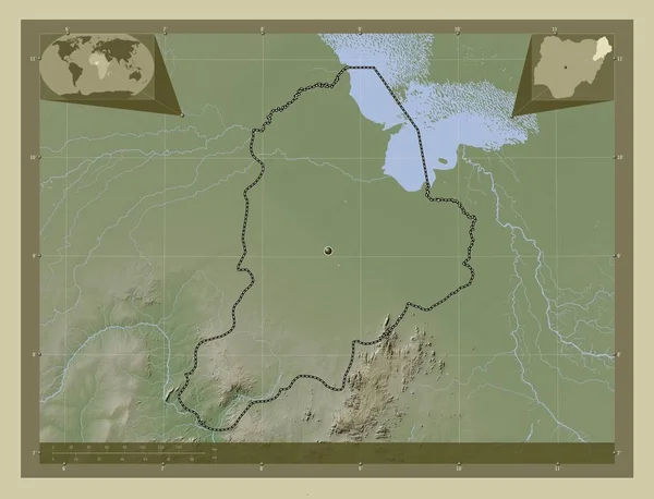
Borno, state of Nigeria. Elevation map colored in wiki style with lakes and rivers. Corner auxiliary location maps
Borno State Nigeria Elevation Map Colored Wiki Style Lakes Rivers — Stock Photo, Image
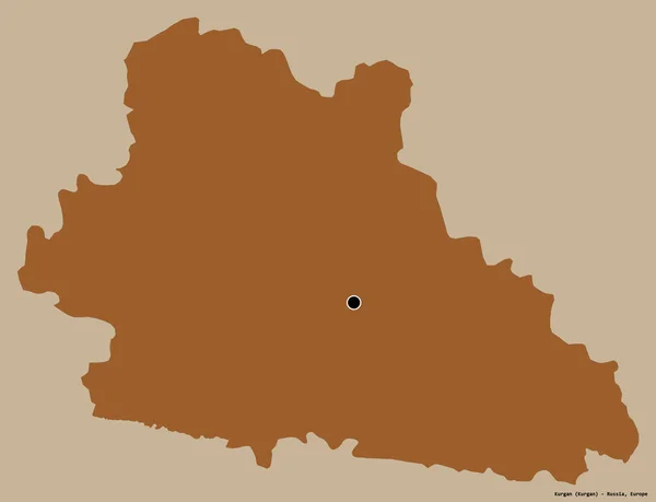
Shape of Kurgan, region of Russia, with its capital isolated on a solid color background. Composition of patterned textures. 3D rendering
Shape Kurgan Region Russia Its Capital Isolated Solid Color Background — Stock Photo, Image
Mongolia on globe in red
Mongolia on globe in red — Stock Photo, Image
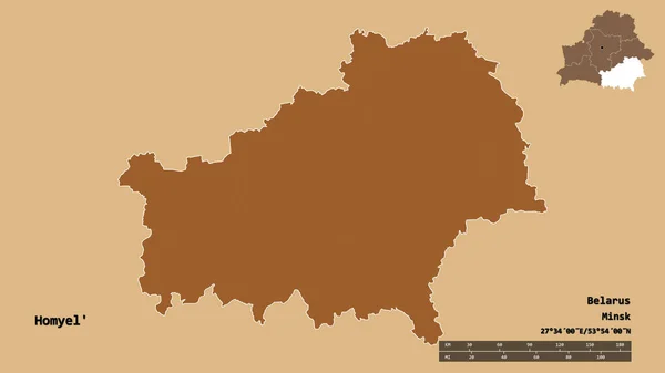
Shape of Homyel', region of Belarus, with its capital isolated on solid background. Distance scale, region preview and labels. Composition of patterned textures. 3D rendering
Shape Homyel Region Belarus Its Capital Isolated Solid Background Distance — Stock Photo, Image
Desaturated shape of Macedonia with its capital, main regional division and the separated Novatsi area. Labels. Composition of regularly patterned textures. 3D rendering
Desaturated Shape Macedonia Its Capital Main Regional Division Separated Novatsi — Stock Photo, Image
Ekiti, state of Nigeria. Solid color shape. Locations of major cities of the region. Corner auxiliary location maps
Ekiti State Nigeria Solid Color Shape Locations Major Cities Region — Stock Photo, Image
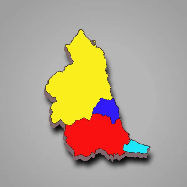
3d rendering colourful High Quality outline map of North East England is a region of England, with borders of the ceremonial counties and different colour.
Rendering Colourful High Quality Outline Map North East England Region — Stock Photo, Image
Shape of Bolu, province of Turkey, with its capital isolated on white background. Composition of patterned textures. 3D rendering
Shape Bolu Province Turkey Its Capital Isolated White Background Composition — Stock Photo, Image
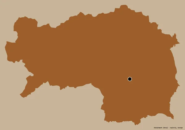
Shape of Steiermark, state of Austria, with its capital isolated on a solid color background. Composition of patterned textures. 3D rendering
Shape Steiermark State Austria Its Capital Isolated Solid Color Background — Stock Photo, Image
National Capital Territory of Delhi, union territory of India. Elevation map colored in wiki style with lakes and rivers. Locations of major cities of the region. Corner auxiliary location maps
National Capital Territory Delhi Union Territory India Elevation Map Colored — Stock Photo, Image
Zhytomyr, region of Ukraine. Colored elevation map with lakes and rivers. Corner auxiliary location maps
Zhytomyr Region Ukraine Colored Elevation Map Lakes Rivers Corner Auxiliary — Stock Photo, Image
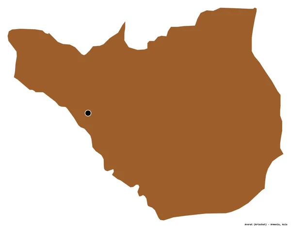
Shape of Ararat, province of Armenia, with its capital isolated on white background. Composition of patterned textures. 3D rendering
Shape Ararat Province Armenia Its Capital Isolated White Background Composition — Stock Photo, Image
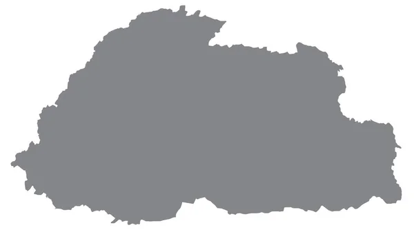
Map of Bhutan
Map of Bhutan — Stock Photo, Image
Desaturated shape of Macedonia with its capital, main regional division and the separated Berovo area. Labels. Composition of regularly patterned textures. 3D rendering
Desaturated Shape Macedonia Its Capital Main Regional Division Separated Berovo — Stock Photo, Image
Central Africa in red on grey political map with transparent oceans. 3D illustration.
Central Africa Red Grey Political Map Transparent Oceans Illustration — Stock Photo, Image
Shape of Tuva, republic of Russia, with its capital isolated on a solid color background. Composition of patterned textures. 3D rendering
Shape Tuva Republic Russia Its Capital Isolated Solid Color Background — Stock Photo, Image
Shape of Kouilou, region of Republic of Congo, and its capital. Distance scale, previews and labels. Satellite imagery. 3D rendering
Shape Kouilou Region Republic Congo Its Capital Distance Scale Previews — Stock Photo, Image
Map of Montevideo. Uruguay.
Map of Montevideo. Uruguay. — Stock Photo, Image
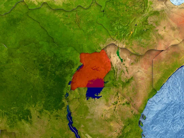
Uganda in red
Uganda in red — Stock Photo, Image
Rotanokiri, province of Cambodia. Elevation map colored in wiki style with lakes and rivers. Corner auxiliary location maps
Rotanokiri Province Cambodia Elevation Map Colored Wiki Style Lakes Rivers — Stock Photo, Image
Map of Flores. Uruguay.
Map of Flores. Uruguay. — Stock Photo, Image
Map of Pajsandu. Uruguay.
Map of Pajsandu. Uruguay. — Stock Photo, Image
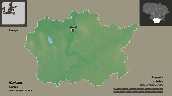
Shape of Alytaus, county of Lithuania, and its capital. Distance scale, previews and labels. Topographic relief map. 3D rendering
Shape Alytaus County Lithuania Its Capital Distance Scale Previews Labels — Stock Photo, Image
Map of Ghana.
Map of Ghana. — Stock Photo, Image
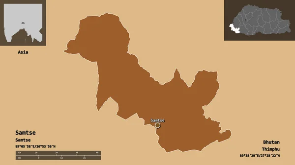
Shape of Samtse, district of Bhutan, and its capital. Distance scale, previews and labels. Composition of patterned textures. 3D rendering
Shape Samtse District Bhutan Its Capital Distance Scale Previews Labels — Stock Photo, Image
Shape of Jalapa, department of Guatemala, with its capital isolated on a solid color background. Composition of patterned textures. 3D rendering
Shape Jalapa Department Guatemala Its Capital Isolated Solid Color Background — Stock Photo, Image
Bhutan map with gray tone on white background,illustration,textured , Symbols of Bhutan ,for advertising ,promote, TV commercial, ads, web design, magazine, news paper, report,
Bhutan Map Gray Tone White Background Illustration Textured Symbols Bhutan — Stock Photo, Image
Three-dimensional map of Romania.
Three-dimensional map of Romania. — Stock Photo, Image
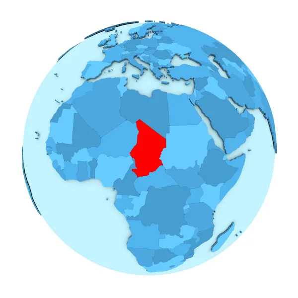
Chad on globe isolated
Chad on globe isolated — Stock Photo, Image
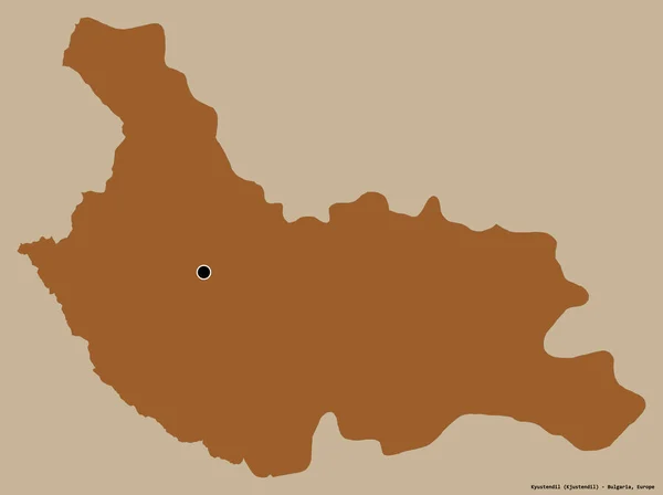
Shape of Kyustendil, province of Bulgaria, with its capital isolated on a solid color background. Composition of patterned textures. 3D rendering
Shape Kyustendil Province Bulgaria Its Capital Isolated Solid Color Background — Stock Photo, Image
Map of Limburg. Belgium.
Map of Limburg. Belgium. — Stock Photo, Image
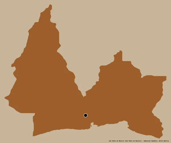
Shape of San Pedro de Macoris, province of Dominican Republic, with its capital isolated on a solid color background. Composition of patterned textures. 3D rendering
Shape San Pedro Macoris Province Dominican Republic Its Capital Isolated — Stock Photo, Image
Desaturated shape of Macedonia with its capital, main regional division and the separated Bitola area. Labels. Composition of regularly patterned textures. 3D rendering
Desaturated Shape Macedonia Its Capital Main Regional Division Separated Bitola — Stock Photo, Image
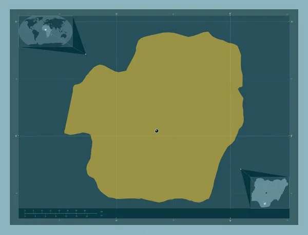
Imo, state of Nigeria. Solid color shape. Corner auxiliary location maps
Imo State Nigeria Solid Color Shape Corner Auxiliary Location Maps — Stock Photo, Image
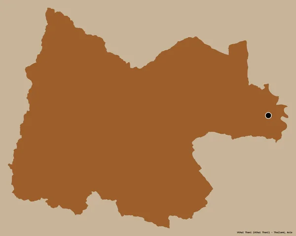
Shape of Uthai Thani, province of Thailand, with its capital isolated on a solid color background. Composition of patterned textures. 3D rendering
Shape Uthai Thani Province Thailand Its Capital Isolated Solid Color — Stock Photo, Image
Map of Cerro Largo. Uruguay.
Map of Cerro Largo. Uruguay. — Stock Photo, Image
Map of Austria
Map of Austria — Stock Photo, Image
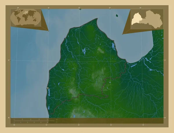
Kurzeme, province of Latvia. Colored elevation map with lakes and rivers. Corner auxiliary location maps
Kurzeme Province Latvia Colored Elevation Map Lakes Rivers Corner Auxiliary — Stock Photo, Image
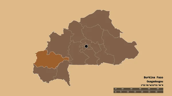
Desaturated shape of Burkina Faso with its capital, main regional division and the separated Haut-Bassins area. Labels. Composition of patterned textures. 3D rendering
Desaturated Shape Burkina Faso Its Capital Main Regional Division Separated — Stock Photo, Image
Map of East Flanders. Belgium.
Map of East Flanders. Belgium. — Stock Photo, Image
Map of Pajsandu. Uruguay.
Map of Pajsandu. Uruguay. — Stock Photo, Image

Uganda Map Images: Enhance Your Projects with Stunning Visuals

Are you looking for captivating Uganda map images to elevate your next project? Look no further as we have a wide selection of high-quality stock images that will bring your ideas to life. Whether you are designing a brochure, creating a presentation, or building a website, our stunning visual assets will help you make a lasting impression on your audience. Explore our collection of JPG, AI, and EPS files to find the perfect visual companion for your project.

1. Richly Detailed Uganda Map Illustrations in AI Format

Our AI file formats offer incredible versatility and customization options for your projects. With our richly detailed Uganda map illustrations, you can highlight specific regions, cities, or landmarks according to your needs. These images provide a high level of resolution, allowing you to zoom in and present intricate details without compromising quality. Whether you are creating a travel guide, educational materials, or marketing materials for the tourism industry, our AI images will capture the attention of your audience and provide an immersive experience.

2. Vibrant Uganda Map Images in EPS Format

If you are looking for vibrant and visually appealing Uganda map images, our EPS files are perfect for you. These images are ideal for various projects, including website backgrounds, posters, or even large-scale banners. The EPS format ensures that your visuals remain crisp and clear regardless of the size at which they are displayed. Use these stunning images to showcase the beauty of Uganda, entice travelers, or promote your business with a touch of elegance.
3. High-Quality Uganda Map Photographs in JPG Format

If you prefer real-life imagery to illustrations, our collection of JPG files is the way to go. We offer a wide range of high-quality photographs capturing the diverse landscapes, wildlife, and cultural heritage of Uganda. From lush national parks to bustling cityscapes, our images will transport your audience to the heart of Uganda. These versatile photographs can be used for multiple purposes, including blog posts, social media content, or even framing for office spaces. Let the beauty of Uganda inspire your projects and leave a lasting impression on your viewers.

Practical Advice for Selecting the Right Image

When incorporating images into your projects, it is essential to choose the right visuals that align with your message and target audience. Here are a few practical tips to ensure you make the most of our Uganda map images:

1. Relevance: Select images that directly relate to the content or purpose of your project. This will help you establish a strong visual connection and enhance the overall message you wish to convey.

2. Composition: Pay attention to the composition of the image to ensure it is well-balanced and visually appealing. Consider factors such as the rule of thirds, leading lines, and the placement of key elements within the frame.

3. Color Palette: Consider the color palette of your project and choose images that harmonize with it. This will create a cohesive and professional look, allowing your visuals to seamlessly blend with the overall design.

4. Image Resolution: Always select images with high resolution to maintain clarity and sharpness, especially when using them for larger prints or digital displays.

5. License: Ensure that you have the appropriate license for the intended usage of the images. This will protect you from copyright infringements and ensure your projects are legally compliant.

By following these practical tips, you can effectively utilize our Uganda map images to enhance your projects and create a powerful visual impact. Explore our diverse collection today and discover the perfect visual companion for your next endeavor.