Tanzania map Stock Photos

100,000 Tanzania map pictures are available under a royalty-free license

  • Best Match
  • Fresh
  • Popular
1-100 of 100,000
Tanzania on Africa map
Tanzania on Africa map — Stock Photo, Image
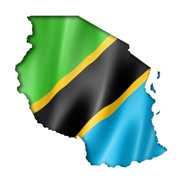
Tanzania flag map
Tanzania flag map — Stock Photo, Image
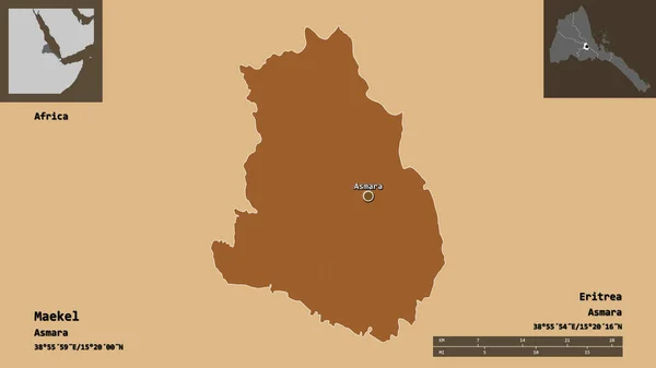
Shape of Maekel, region of Eritrea, and its capital. Distance scale, previews and labels. Composition of patterned textures. 3D rendering
Shape Maekel Region Eritrea Its Capital Distance Scale Previews Labels — Stock Photo, Image
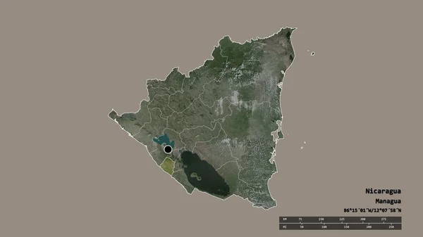
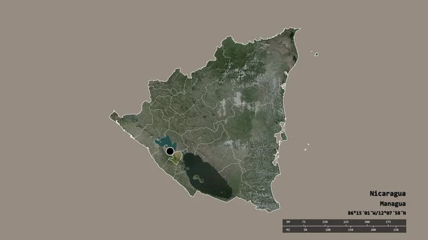
Desaturated shape of Nicaragua with its capital, main regional division and the separated Carazo area. Labels. Satellite imagery. 3D rendering
Desaturated Shape Nicaragua Its Capital Main Regional Division Separated Carazo — Stock Photo, Image
Shape of Kouilou, region of Republic of Congo, and its capital. Distance scale, previews and labels. Satellite imagery. 3D rendering
Shape Kouilou Region Republic Congo Its Capital Distance Scale Previews — Stock Photo, Image
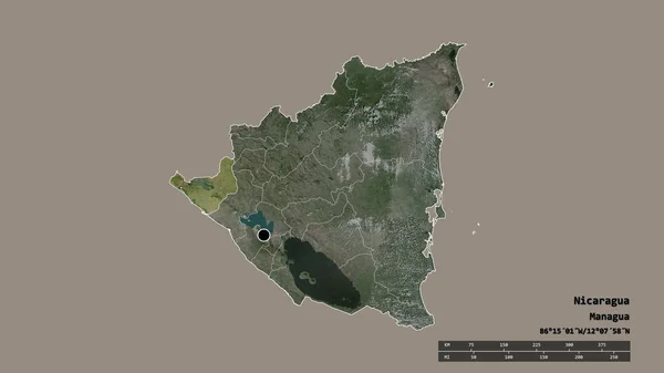
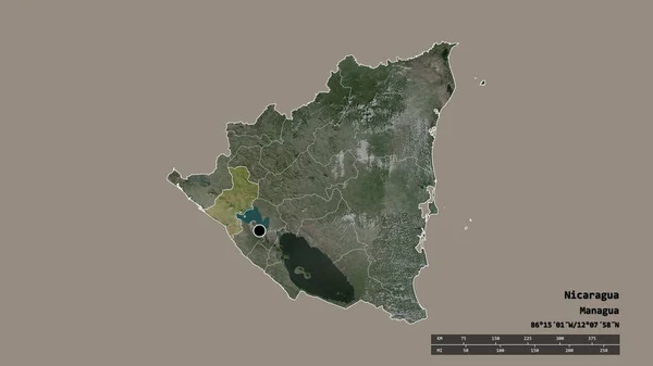
Desaturated shape of Nicaragua with its capital, main regional division and the separated Chinandega area. Labels. Satellite imagery. 3D rendering
Desaturated Shape Nicaragua Its Capital Main Regional Division Separated Chinandega — Stock Photo, Image
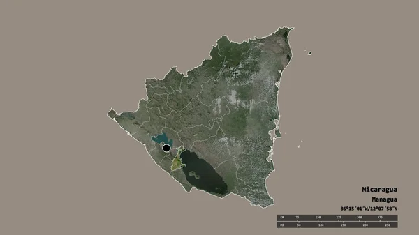
Desaturated shape of Nicaragua with its capital, main regional division and the separated Granada area. Labels. Satellite imagery. 3D rendering
Desaturated Shape Nicaragua Its Capital Main Regional Division Separated Granada — Stock Photo, Image
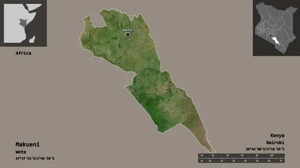
Shape of Makueni, county of Kenya, and its capital. Distance scale, previews and labels. Satellite imagery. 3D rendering
Shape Makueni County Kenya Its Capital Distance Scale Previews Labels — Stock Photo, Image
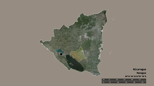
Desaturated shape of Nicaragua with its capital, main regional division and the separated Chontales area. Labels. Satellite imagery. 3D rendering
Desaturated Shape Nicaragua Its Capital Main Regional Division Separated Chontales — Stock Photo, Image
Desaturated shape of Nicaragua with its capital, main regional division and the separated Nueva Segovia area. Labels. Satellite imagery. 3D rendering
Desaturated Shape Nicaragua Its Capital Main Regional Division Separated Nueva — Stock Photo, Image
Desaturated shape of Nicaragua with its capital, main regional division and the separated Madriz area. Labels. Satellite imagery. 3D rendering
Desaturated Shape Nicaragua Its Capital Main Regional Division Separated Madriz — Stock Photo, Image
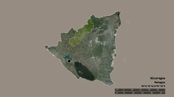
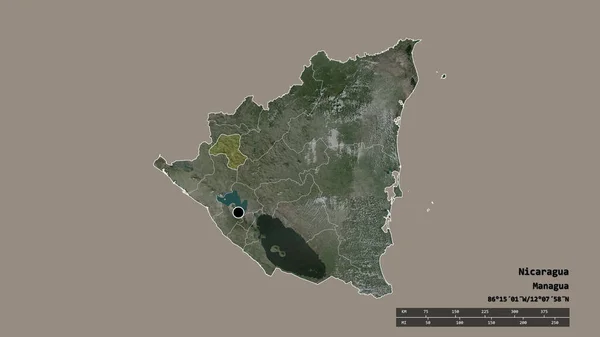
Desaturated shape of Nicaragua with its capital, main regional division and the separated Jinotega area. Labels. Satellite imagery. 3D rendering
Desaturated Shape Nicaragua Its Capital Main Regional Division Separated Jinotega — Stock Photo, Image
Desaturated shape of Nicaragua with its capital, main regional division and the separated Esteli area. Labels. Satellite imagery. 3D rendering
Desaturated Shape Nicaragua Its Capital Main Regional Division Separated Esteli — Stock Photo, Image
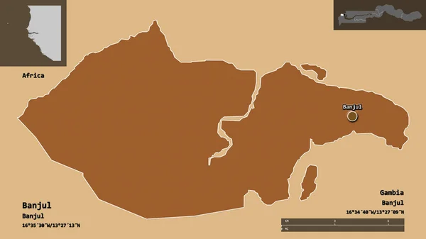
Shape of Banjul, independent city of Gambia, and its capital. Distance scale, previews and labels. Composition of patterned textures. 3D rendering
Shape Banjul Independent City Gambia Its Capital Distance Scale Previews — Stock Photo, Image
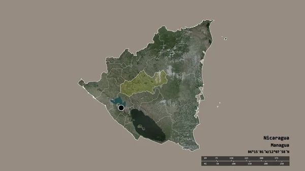
Desaturated shape of Nicaragua with its capital, main regional division and the separated Matagalpa area. Labels. Satellite imagery. 3D rendering
Desaturated Shape Nicaragua Its Capital Main Regional Division Separated Matagalpa — Stock Photo, Image
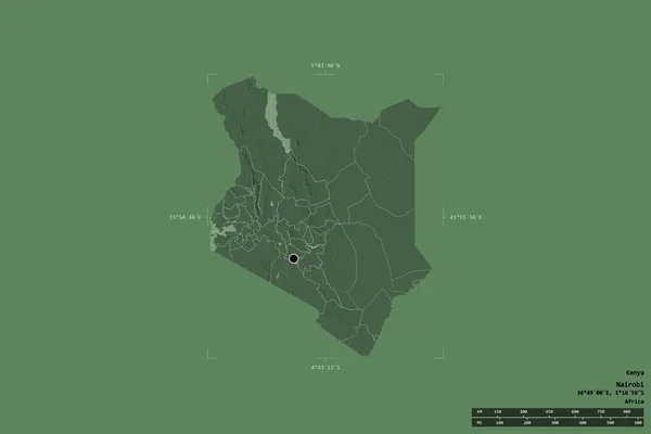
Area of Kenya isolated on a solid background in a georeferenced bounding box. Main regional division, distance scale, labels. Colored elevation map. 3D rendering
Area Kenya Isolated Solid Background Georeferenced Bounding Box Main Regional — Stock Photo, Image
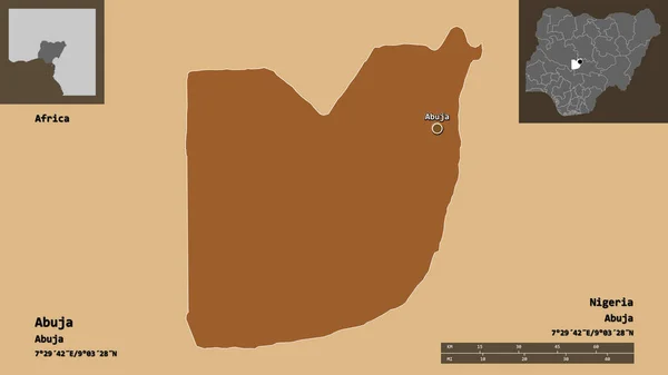
Shape of Abuja, federal capital territory of Nigeria, and its capital. Distance scale, previews and labels. Composition of regularly patterned textures. 3D rendering
Shape Abuja Federal Capital Territory Nigeria Its Capital Distance Scale — Stock Photo, Image
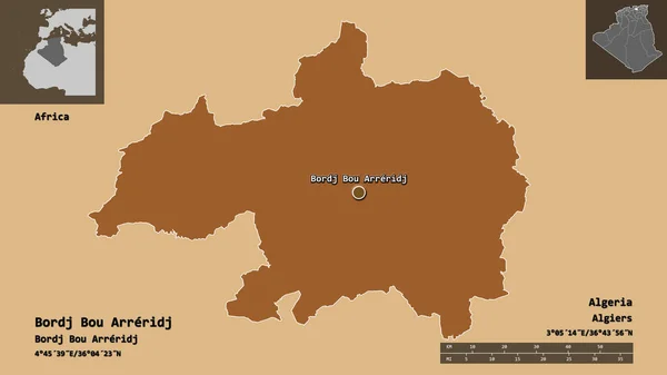
Shape of Bordj Bou Arreridj, province of Algeria, and its capital. Distance scale, previews and labels. Composition of patterned textures. 3D rendering
Shape Bordj Bou Arreridj Province Algeria Its Capital Distance Scale — Stock Photo, Image
Desaturated shape of Nicaragua with its capital, main regional division and the separated Masaya area. Labels. Satellite imagery. 3D rendering
Desaturated Shape Nicaragua Its Capital Main Regional Division Separated Masaya — Stock Photo, Image
Shape of Mbeya, region of Tanzania, and its capital. Distance scale, previews and labels. Satellite imagery. 3D rendering
Shape Mbeya Region Tanzania Its Capital Distance Scale Previews Labels — Stock Photo, Image
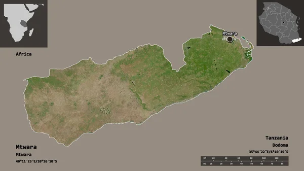
Shape of Mtwara, region of Tanzania, and its capital. Distance scale, previews and labels. Satellite imagery. 3D rendering
Shape Mtwara Region Tanzania Its Capital Distance Scale Previews Labels — Stock Photo, Image
Shape of Manubah, governorate of Tunisia, and its capital. Distance scale, previews and labels. Composition of patterned textures. 3D rendering
Shape Manubah Governorate Tunisia Its Capital Distance Scale Previews Labels — Stock Photo, Image
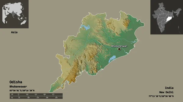
Shape of Odisha, state of India, and its capital. Distance scale, previews and labels. Topographic relief map. 3D rendering
Shape Odisha State India Its Capital Distance Scale Previews Labels — Stock Photo, Image
Shape of Brakna, region of Mauritania, and its capital. Distance scale, previews and labels. Topographic relief map. 3D rendering
Shape Brakna Region Mauritania Its Capital Distance Scale Previews Labels — Stock Photo, Image
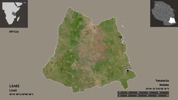
Shape of Lindi, region of Tanzania, and its capital. Distance scale, previews and labels. Satellite imagery. 3D rendering
Shape Lindi Region Tanzania Its Capital Distance Scale Previews Labels — Stock Photo, Image
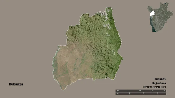
Shape of Bubanza, province of Burundi, with its capital isolated on solid background. Distance scale, region preview and labels. Satellite imagery. 3D rendering
Shape Bubanza Province Burundi Its Capital Isolated Solid Background Distance — Stock Photo, Image
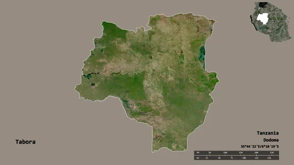
Shape of Tabora, region of Tanzania, with its capital isolated on solid background. Distance scale, region preview and labels. Satellite imagery. 3D rendering
Shape Tabora Region Tanzania Its Capital Isolated Solid Background Distance — Stock Photo, Image
Desaturated shape of Nicaragua with its capital, main regional division and the separated Managua area. Labels. Satellite imagery. 3D rendering
Desaturated Shape Nicaragua Its Capital Main Regional Division Separated Managua — Stock Photo, Image
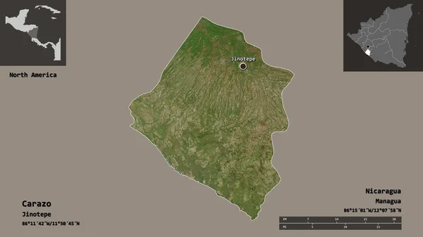
Shape of Carazo, department of Nicaragua, and its capital. Distance scale, previews and labels. Satellite imagery. 3D rendering
Shape Carazo Department Nicaragua Its Capital Distance Scale Previews Labels — Stock Photo, Image
Shape of Makamba, province of Burundi, with its capital isolated on solid background. Distance scale, region preview and labels. Satellite imagery. 3D rendering
Shape Makamba Province Burundi Its Capital Isolated Solid Background Distance — Stock Photo, Image
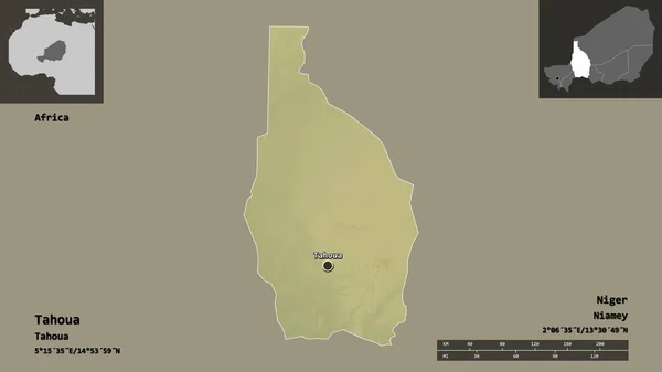
Shape of Tahoua, department of Niger, and its capital. Distance scale, previews and labels. Topographic relief map. 3D rendering
Shape Tahoua Department Niger Its Capital Distance Scale Previews Labels — Stock Photo, Image
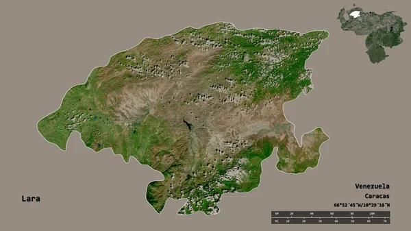
Shape of Lara, state of Venezuela, with its capital isolated on solid background. Distance scale, region preview and labels. Satellite imagery. 3D rendering
Shape Lara State Venezuela Its Capital Isolated Solid Background Distance — Stock Photo, Image
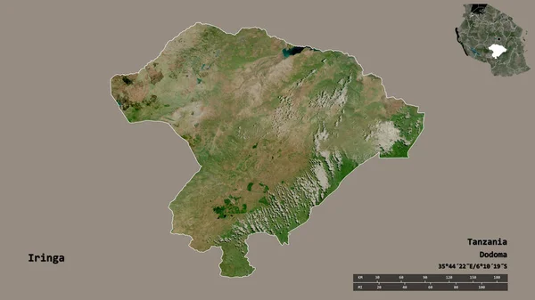
Shape of Iringa, region of Tanzania, with its capital isolated on solid background. Distance scale, region preview and labels. Satellite imagery. 3D rendering
Shape Iringa Region Tanzania Its Capital Isolated Solid Background Distance — Stock Photo, Image
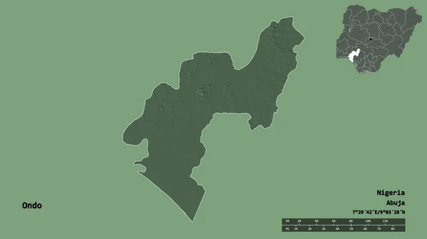
Shape of Ondo, state of Nigeria, with its capital isolated on solid background. Distance scale, region preview and labels. Colored elevation map. 3D rendering
Shape Ondo State Nigeria Its Capital Isolated Solid Background Distance — Stock Photo, Image
Desaturated shape of Nicaragua with its capital, main regional division and the separated Atlantico Norte area. Labels. Satellite imagery. 3D rendering
Desaturated Shape Nicaragua Its Capital Main Regional Division Separated Atlantico — Stock Photo, Image
Shape of Nassarawa, state of Nigeria, with its capital isolated on solid background. Distance scale, region preview and labels. Satellite imagery. 3D rendering
Shape Nassarawa State Nigeria Its Capital Isolated Solid Background Distance — Stock Photo, Image
Shape of Mashonaland East, province of Zimbabwe, and its capital. Distance scale, previews and labels. Satellite imagery. 3D rendering
Shape Mashonaland East Province Zimbabwe Its Capital Distance Scale Previews — Stock Photo, Image
Shape of Annaba, province of Algeria, and its capital. Distance scale, previews and labels. Satellite imagery. 3D rendering
Shape Annaba Province Algeria Its Capital Distance Scale Previews Labels — Stock Photo, Image
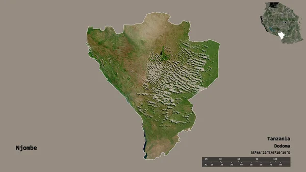
Shape of Njombe, region of Tanzania, with its capital isolated on solid background. Distance scale, region preview and labels. Satellite imagery. 3D rendering
Shape Njombe Region Tanzania Its Capital Isolated Solid Background Distance — Stock Photo, Image
Shape of Kayes, region of Mali, and its capital. Distance scale, previews and labels. Satellite imagery. 3D rendering
Shape Kayes Region Mali Its Capital Distance Scale Previews Labels — Stock Photo, Image
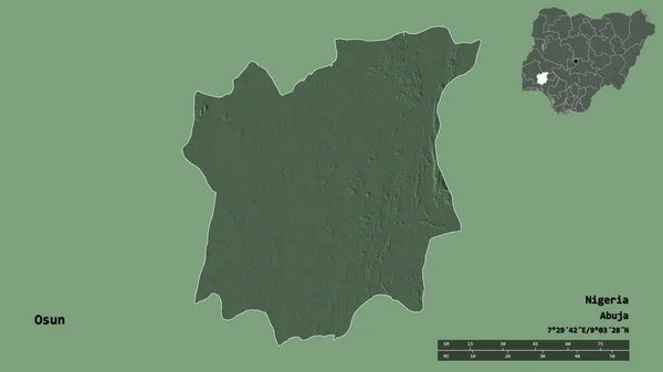
Shape of Osun, state of Nigeria, with its capital isolated on solid background. Distance scale, region preview and labels. Colored elevation map. 3D rendering
Shape Osun State Nigeria Its Capital Isolated Solid Background Distance — Stock Photo, Image
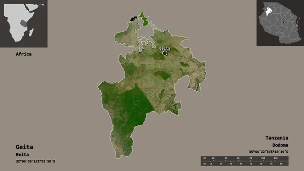
Shape of Geita, region of Tanzania, and its capital. Distance scale, previews and labels. Satellite imagery. 3D rendering
Shape Geita Region Tanzania Its Capital Distance Scale Previews Labels — Stock Photo, Image
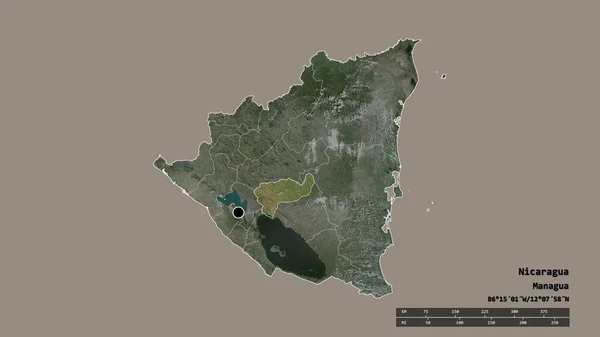
Desaturated shape of Nicaragua with its capital, main regional division and the separated Boaco area. Labels. Satellite imagery. 3D rendering
Desaturated Shape Nicaragua Its Capital Main Regional Division Separated Boaco — Stock Photo, Image
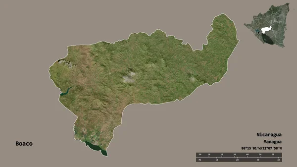
Shape of Boaco, department of Nicaragua, with its capital isolated on solid background. Distance scale, region preview and labels. Satellite imagery. 3D rendering
Shape Boaco Department Nicaragua Its Capital Isolated Solid Background Distance — Stock Photo, Image
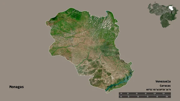
Shape of Monagas, state of Venezuela, with its capital isolated on solid background. Distance scale, region preview and labels. Satellite imagery. 3D rendering
Shape Monagas State Venezuela Its Capital Isolated Solid Background Distance — Stock Photo, Image
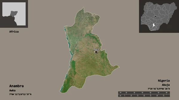
Shape of Anambra, state of Nigeria, and its capital. Distance scale, previews and labels. Satellite imagery. 3D rendering
Shape Anambra State Nigeria Its Capital Distance Scale Previews Labels — Stock Photo, Image
Shape of Bauchi, state of Nigeria, and its capital. Distance scale, previews and labels. Satellite imagery. 3D rendering
Shape Bauchi State Nigeria Its Capital Distance Scale Previews Labels — Stock Photo, Image
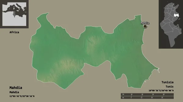
Shape of Mahdia, governorate of Tunisia, and its capital. Distance scale, previews and labels. Topographic relief map. 3D rendering
Shape Mahdia Governorate Tunisia Its Capital Distance Scale Previews Labels — Stock Photo, Image
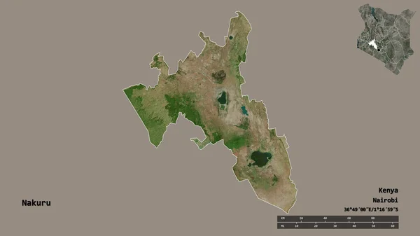
Shape of Nakuru, county of Kenya, with its capital isolated on solid background. Distance scale, region preview and labels. Satellite imagery. 3D rendering
Shape Nakuru County Kenya Its Capital Isolated Solid Background Distance — Stock Photo, Image
Desaturated shape of Nicaragua with its capital, main regional division and the separated Leon area. Labels. Satellite imagery. 3D rendering
Desaturated Shape Nicaragua Its Capital Main Regional Division Separated Leon — Stock Photo, Image
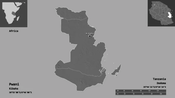
Shape of Pwani, region of Tanzania, and its capital. Distance scale, previews and labels. Bilevel elevation map. 3D rendering
Shape Pwani Region Tanzania Its Capital Distance Scale Previews Labels — Stock Photo, Image
Shape of Plateau, state of Nigeria, and its capital. Distance scale, previews and labels. Satellite imagery. 3D rendering
Shape Plateau State Nigeria Its Capital Distance Scale Previews Labels — Stock Photo, Image
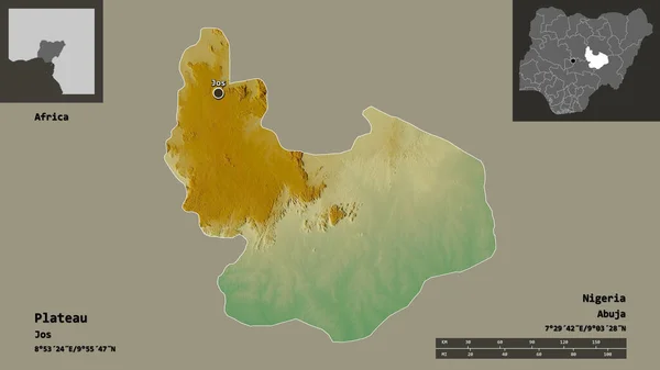
Shape of Plateau, state of Nigeria, and its capital. Distance scale, previews and labels. Topographic relief map. 3D rendering
Shape Plateau State Nigeria Its Capital Distance Scale Previews Labels — Stock Photo, Image
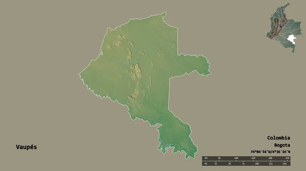
Shape of Vaupes, commissiary of Colombia, with its capital isolated on solid background. Distance scale, region preview and labels. Topographic relief map. 3D rendering
Shape Vaupes Commissiary Colombia Its Capital Isolated Solid Background Distance — Stock Photo, Image
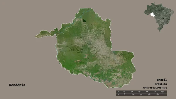
Shape of Rondonia, state of Brazil, with its capital isolated on solid background. Distance scale, region preview and labels. Satellite imagery. 3D rendering
Shape Rondonia State Brazil Its Capital Isolated Solid Background Distance — Stock Photo, Image
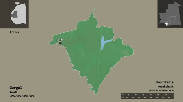
Shape of Gorgol, region of Mauritania, and its capital. Distance scale, previews and labels. Topographic relief map. 3D rendering
Shape Gorgol Region Mauritania Its Capital Distance Scale Previews Labels — Stock Photo, Image
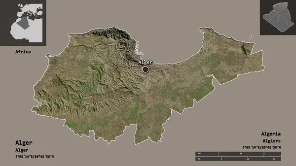
Shape of Alger, province of Algeria, and its capital. Distance scale, previews and labels. Satellite imagery. 3D rendering
Shape Alger Province Algeria Its Capital Distance Scale Previews Labels — Stock Photo, Image
Shape of KwaZulu-Natal, province of South Africa, and its capital. Distance scale, previews and labels. Satellite imagery. 3D rendering
Shape Kwazulu Natal Province South Africa Its Capital Distance Scale — Stock Photo, Image
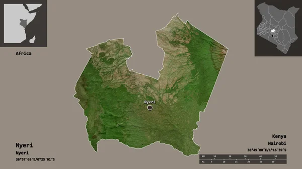
Shape of Nyeri, county of Kenya, and its capital. Distance scale, previews and labels. Satellite imagery. 3D rendering
Shape Nyeri County Kenya Its Capital Distance Scale Previews Labels — Stock Photo, Image
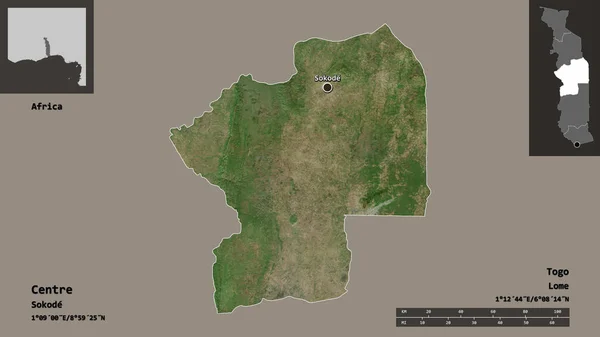
Shape of Centre, region of Togo, and its capital. Distance scale, previews and labels. Satellite imagery. 3D rendering
Shape Centre Region Togo Its Capital Distance Scale Previews Labels — Stock Photo, Image
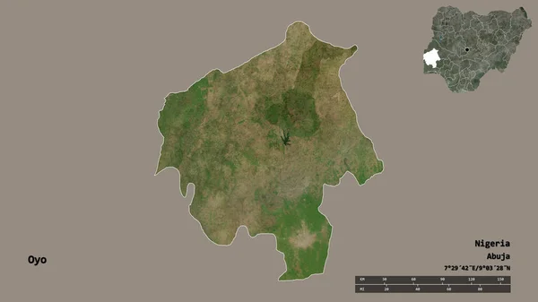
Shape of Oyo, state of Nigeria, with its capital isolated on solid background. Distance scale, region preview and labels. Satellite imagery. 3D rendering
Shape Oyo State Nigeria Its Capital Isolated Solid Background Distance — Stock Photo, Image
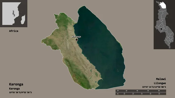
Shape of Karonga, district of Malawi, and its capital. Distance scale, previews and labels. Satellite imagery. 3D rendering
Shape Karonga District Malawi Its Capital Distance Scale Previews Labels — Stock Photo, Image
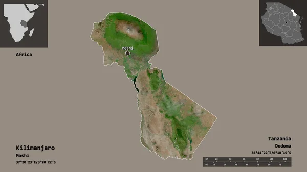
Shape of Kilimanjaro, region of Tanzania, and its capital. Distance scale, previews and labels. Satellite imagery. 3D rendering
Shape Kilimanjaro Region Tanzania Its Capital Distance Scale Previews Labels — Stock Photo, Image
Shape of Makueni, county of Kenya, and its capital. Distance scale, previews and labels. Colored elevation map. 3D rendering
Shape Makueni County Kenya Its Capital Distance Scale Previews Labels — Stock Photo, Image
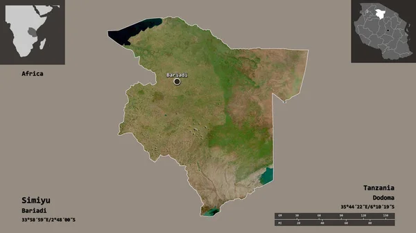
Shape of Simiyu, region of Tanzania, and its capital. Distance scale, previews and labels. Satellite imagery. 3D rendering
Shape Simiyu Region Tanzania Its Capital Distance Scale Previews Labels — Stock Photo, Image
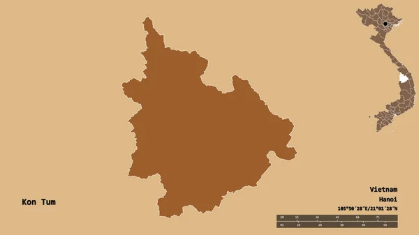
Shape of Kon Tum, province of Vietnam, with its capital isolated on solid background. Distance scale, region preview and labels. Composition of patterned textures. 3D rendering
Shape Kon Tum Province Vietnam Its Capital Isolated Solid Background — Stock Photo, Image
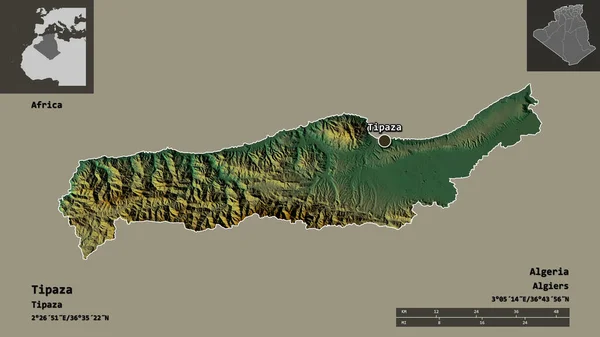
Shape of Tipaza, province of Algeria, and its capital. Distance scale, previews and labels. Topographic relief map. 3D rendering
Shape Tipaza Province Algeria Its Capital Distance Scale Previews Labels — Stock Photo, Image
Shape of Nampula, province of Mozambique, with its capital isolated on solid background. Distance scale, region preview and labels. Satellite imagery. 3D rendering
Shape Nampula Province Mozambique Its Capital Isolated Solid Background Distance — Stock Photo, Image
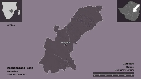
Shape of Mashonaland East, province of Zimbabwe, and its capital. Distance scale, previews and labels. Colored elevation map. 3D rendering
Shape Mashonaland East Province Zimbabwe Its Capital Distance Scale Previews — Stock Photo, Image
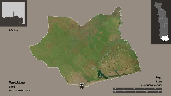
Shape of Maritime, region of Togo, and its capital. Distance scale, previews and labels. Satellite imagery. 3D rendering
Shape Maritime Region Togo Its Capital Distance Scale Previews Labels — Stock Photo, Image
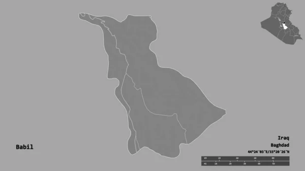
Shape of Babil, province of Iraq, with its capital isolated on solid background. Distance scale, region preview and labels. Bilevel elevation map. 3D rendering
Shape Babil Province Iraq Its Capital Isolated Solid Background Distance — Stock Photo, Image
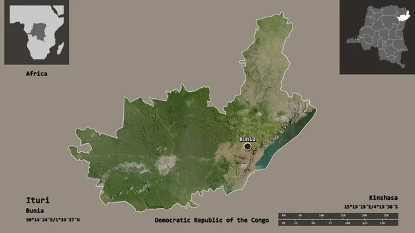
Shape of Ituri, province of Democratic Republic of the Congo, and its capital. Distance scale, previews and labels. Satellite imagery. 3D rendering
Shape Ituri Province Democratic Republic Congo Its Capital Distance Scale — Stock Photo, Image
Shape of Nord-Ubangi, province of Democratic Republic of the Congo, and its capital. Distance scale, previews and labels. Satellite imagery. 3D rendering
Shape Nord Ubangi Province Democratic Republic Congo Its Capital Distance — Stock Photo, Image
Shape of Nandi, county of Kenya, with its capital isolated on solid background. Distance scale, region preview and labels. Satellite imagery. 3D rendering
Shape Nandi County Kenya Its Capital Isolated Solid Background Distance — Stock Photo, Image
Shape of Alger, province of Algeria, and its capital. Distance scale, previews and labels. Topographic relief map. 3D rendering
Shape Alger Province Algeria Its Capital Distance Scale Previews Labels — Stock Photo, Image
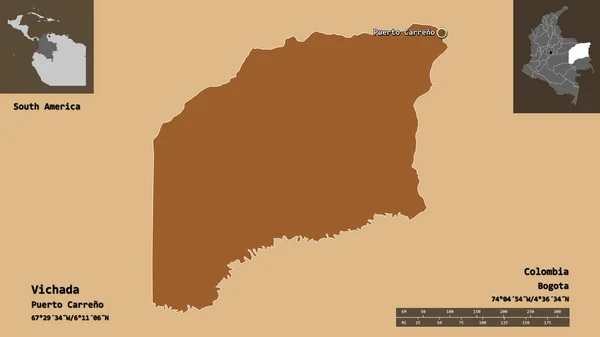
Shape of Vichada, commissiary of Colombia, and its capital. Distance scale, previews and labels. Composition of patterned textures. 3D rendering
Shape Vichada Commissiary Colombia Its Capital Distance Scale Previews Labels — Stock Photo, Image
Shape of Yambol, province of Bulgaria, and its capital. Distance scale, previews and labels. Satellite imagery. 3D rendering
Shape Yambol Province Bulgaria Its Capital Distance Scale Previews Labels — Stock Photo, Image
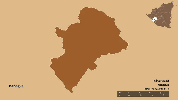
Shape of Managua, department of Nicaragua, with its capital isolated on solid background. Distance scale, region preview and labels. Composition of regularly patterned textures. 3D rendering
Shape Managua Department Nicaragua Its Capital Isolated Solid Background Distance — Stock Photo, Image
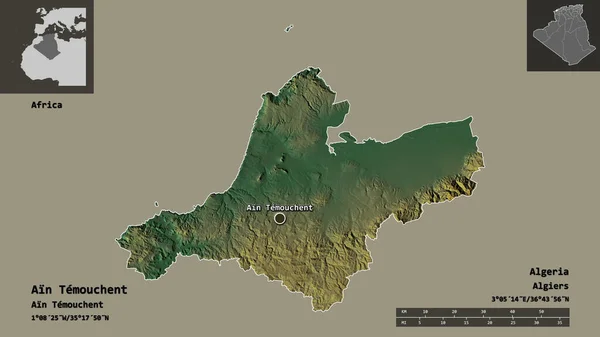
Shape of Ain Temouchent, province of Algeria, and its capital. Distance scale, previews and labels. Topographic relief map. 3D rendering
Shape Ain Temouchent Province Algeria Its Capital Distance Scale Previews — Stock Photo, Image
Shape of Nassarawa, state of Nigeria, with its capital isolated on solid background. Distance scale, region preview and labels. Composition of regularly patterned textures. 3D rendering
Shape Nassarawa State Nigeria Its Capital Isolated Solid Background Distance — Stock Photo, Image
Shape of Vakaga, prefecture of Central African Republic, with its capital isolated on a solid color background. Satellite imagery. 3D rendering
Shape Vakaga Prefecture Central African Republic Its Capital Isolated Solid — Stock Photo, Image
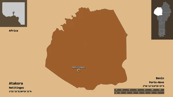
Shape of Atakora, department of Benin, and its capital. Distance scale, previews and labels. Composition of patterned textures. 3D rendering
Shape Atakora Department Benin Its Capital Distance Scale Previews Labels — Stock Photo, Image
Shape of Kisumu, county of Kenya, with its capital isolated on solid background. Distance scale, region preview and labels. Satellite imagery. 3D rendering
Shape Kisumu County Kenya Its Capital Isolated Solid Background Distance — Stock Photo, Image
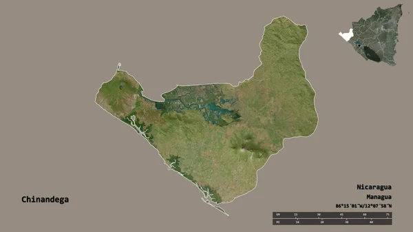
Shape of Chinandega, department of Nicaragua, with its capital isolated on solid background. Distance scale, region preview and labels. Satellite imagery. 3D rendering
Shape Chinandega Department Nicaragua Its Capital Isolated Solid Background Distance — Stock Photo, Image
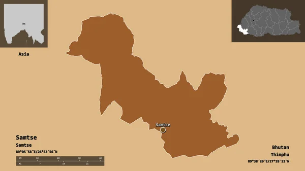
Shape of Samtse, district of Bhutan, and its capital. Distance scale, previews and labels. Composition of patterned textures. 3D rendering
Shape Samtse District Bhutan Its Capital Distance Scale Previews Labels — Stock Photo, Image
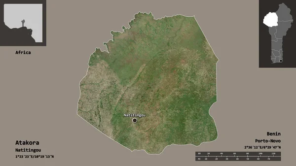
Shape of Atakora, department of Benin, and its capital. Distance scale, previews and labels. Satellite imagery. 3D rendering
Shape Atakora Department Benin Its Capital Distance Scale Previews Labels — Stock Photo, Image
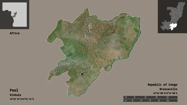
Shape of Pool, region of Republic of Congo, and its capital. Distance scale, previews and labels. Satellite imagery. 3D rendering
Shape Pool Region Republic Congo Its Capital Distance Scale Previews — Stock Photo, Image
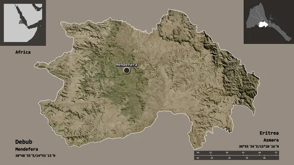
Shape of Debub, region of Eritrea, and its capital. Distance scale, previews and labels. Satellite imagery. 3D rendering
Shape Debub Region Eritrea Its Capital Distance Scale Previews Labels — Stock Photo, Image
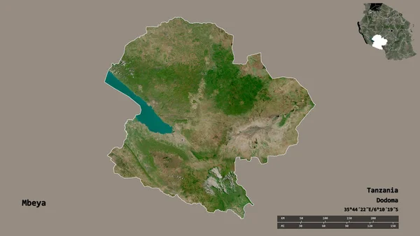
Shape of Mbeya, region of Tanzania, with its capital isolated on solid background. Distance scale, region preview and labels. Satellite imagery. 3D rendering
Shape Mbeya Region Tanzania Its Capital Isolated Solid Background Distance — Stock Photo, Image
Shape of Hajdu-Bihar, county of Hungary, and its capital. Distance scale, previews and labels. Satellite imagery. 3D rendering
Shape Hajdu Bihar County Hungary Its Capital Distance Scale Previews — Stock Photo, Image
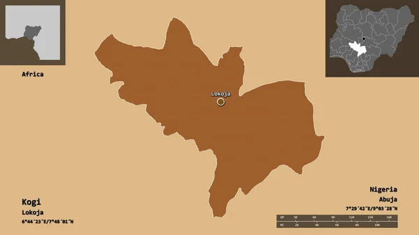
Shape of Kogi, state of Nigeria, and its capital. Distance scale, previews and labels. Composition of regularly patterned textures. 3D rendering
Shape Kogi State Nigeria Its Capital Distance Scale Previews Labels — Stock Photo, Image
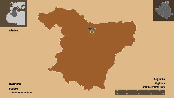
Shape of Bouira, province of Algeria, and its capital. Distance scale, previews and labels. Composition of patterned textures. 3D rendering
Shape Bouira Province Algeria Its Capital Distance Scale Previews Labels — Stock Photo, Image
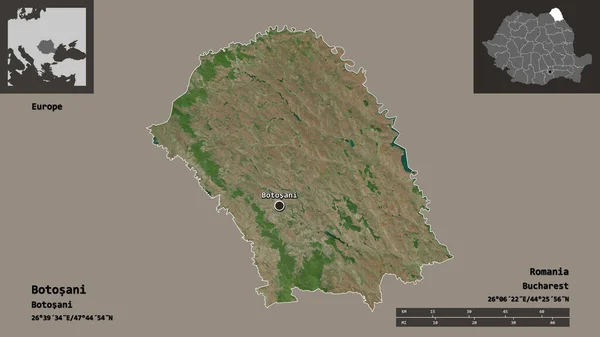
Shape of Botosani, county of Romania, and its capital. Distance scale, previews and labels. Satellite imagery. 3D rendering
Shape Botosani County Romania Its Capital Distance Scale Previews Labels — Stock Photo, Image
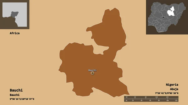
Shape of Bauchi, state of Nigeria, and its capital. Distance scale, previews and labels. Composition of regularly patterned textures. 3D rendering
Shape Bauchi State Nigeria Its Capital Distance Scale Previews Labels — Stock Photo, Image
Shape of Tlaxcala, state of Mexico, with its capital isolated on solid background. Distance scale, region preview and labels. Satellite imagery. 3D rendering
Shape Tlaxcala State Mexico Its Capital Isolated Solid Background Distance — Stock Photo, Image
Shape of Jigawa, state of Nigeria, with its capital isolated on solid background. Distance scale, region preview and labels. Satellite imagery. 3D rendering
Shape Jigawa State Nigeria Its Capital Isolated Solid Background Distance — Stock Photo, Image
Shape of Vrancea, county of Romania, with its capital isolated on solid background. Distance scale, region preview and labels. Composition of regularly patterned textures. 3D rendering
Shape Vrancea County Romania Its Capital Isolated Solid Background Distance — Stock Photo, Image
Shape of Vaupes, commissiary of Colombia, with its capital isolated on solid background. Distance scale, region preview and labels. Satellite imagery. 3D rendering
Shape Vaupes Commissiary Colombia Its Capital Isolated Solid Background Distance — Stock Photo, Image

Discover Beautiful Tanzania Map Images for Your Projects
Are you in search of captivating Tanzania map images to enhance your next project? Look no further! Our extensive stock image collection offers a wide array of visually stunning options to meet your creative needs. From vibrant PNGs to high-resolution JPGs, and even scalable AI and EPS files, we have it all. Whether you're designing a website, creating a brochure, or decorating a physical space, our Tanzania map images will add the perfect touch of beauty and authenticity to your work.

High-Quality JPG Images for Various Applications

If you're seeking visually appealing Tanzania map images that are versatile and widely compatible, our selection of high-quality JPG files is sure to exceed your expectations. These images provide exceptional clarity and detail, making them perfect for digital projects such as websites, social media posts, and online advertisements. Moreover, their compact file size ensures quick loading times, enhancing the user experience. Whether you're a travel blogger, a geography enthusiast, or a marketing professional promoting Tanzania as a tourist destination, our JPG images will help you effectively convey your message.

Scalable AI and EPS Files for Print and Design Projects

For those undertaking print or design projects, our collection includes scalable AI and EPS files of Tanzania map images. These vector graphics can be resized without any loss of quality or clarity, making them excellent choices for large-scale prints such as banners, posters, and billboards. Additionally, graphic designers can utilize these files in software such as Adobe Illustrator or CorelDRAW to modify the images according to their unique creative visions. Whether you're creating a visually captivating brochure, a compelling magazine spread, or a striking mural, our AI and EPS files will provide the flexibility and precision you need.

Practical Tips for Using Tanzania Map Images

When incorporating Tanzania map images into your projects, it's important to consider how they can be best utilized to achieve maximum impact. Here are some practical tips to help you make the most out of our images:

1. Find the Right Balance: Ensure that the map image doesn't overpower the overall design of your project. It should complement other elements and contribute to a cohesive visual experience.

2. Consider Placement: Think about where the map image will be positioned within your project. Whether it's as a background, centerpiece, or supporting element, its placement should enhance the overall message you want to convey.

3. Customize Colors: If needed, feel free to modify the colors of the map image to align with your branding or design scheme. This customization can contribute to a more harmonious and coherent visual composition.

4. Explore Different Styles: Our collection offers diverse styles of Tanzania map images, ranging from vintage and artistic to modern and minimalist. Experiment with various styles to find the one that best suits your project's aesthetic.

5. Maintain Image Quality: Regardless of the format you choose, always ensure that the resolution of the image aligns with the intended use. Sharp and clear visuals will leave a lasting impression on your audience.

With these practical tips in mind, take a moment to browse through our extensive collection of Tanzania map images. You're sure to find the perfect image that will elevate your project to new heights. Don't settle for anything less than exceptional visuals!

Unlock the Beauty of Tanzania with Our Map Images