Kids world map Stock Vector Images

100,000 Kids world map vector art & graphics are available under a royalty-free license

  • Best Match
  • Fresh
  • Popular
1-100 of 100,000
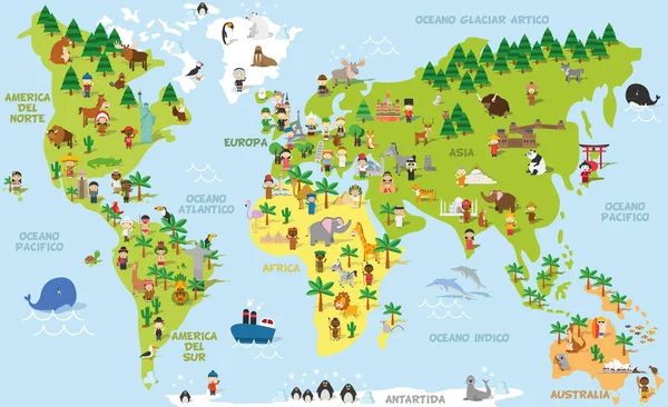
Funny cartoon world map with childrens of different nationalities, animals and monuments of all the continents and oceans. Names in spanish.
Funny cartoon world map with childrens of different nationalities, animals and monuments of all the continents and oceans. Names in spanish. — Stock Vector
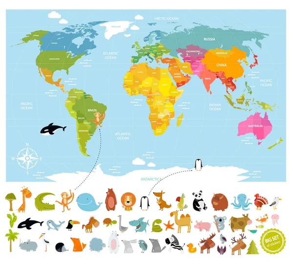
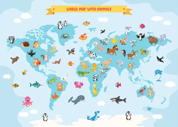
Vector world map with lots of animals
Vector world map  with lots of animals — Stock Vector
Kids Of The World Illustration
Kids World Illustration — Stock Vector
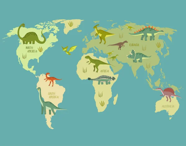
Print. World map with dinosaurs. Dino world map. Cartoon dinosaurs.
Print World Map Dinosaurs Dino World Map Cartoon Dinosaurs — Stock Vector
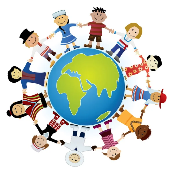
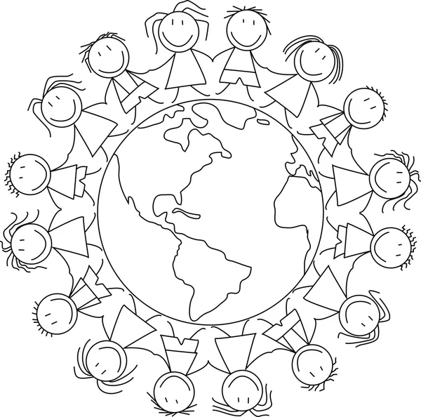
Kids holding hands on world , kids illustration - childrens drawing
Kids holding hands on world , kids illustration - childrens drawing — Stock Vector
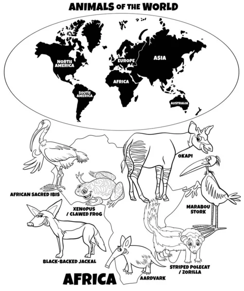
Black and white educational cartoon illustration of African animal species and world map with continents shapes coloring book page
Black White Educational Cartoon Illustration African Animal Species World Map — Stock Vector
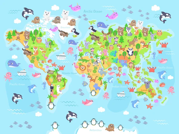
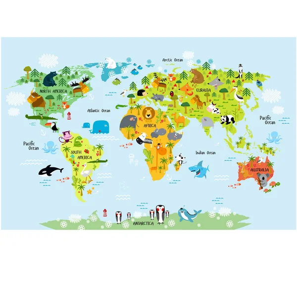
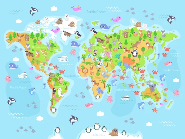
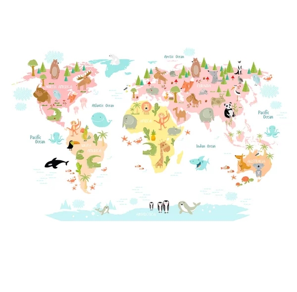
Vector illustration of world map with animals for kids. Flat design.
Vector Illustration World Map Animals Kids Flat Design — Stock Vector
World Map With Cartoon Animals
World Map Cartoon Animals — Stock Vector
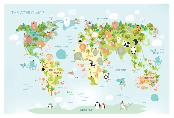
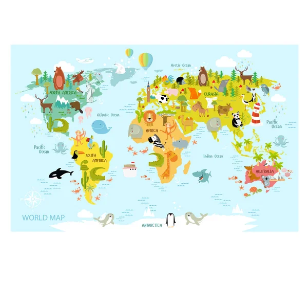
Vector map of the world with cartoon animals for kids. Europe, Asia, South America, North America, Australia and Africa.
Vector Map World Cartoon Animals Kids Europe Asia South America — Stock Vector
World map with animals for children
World map with animals for children — Stock Vector
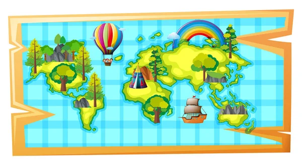
Worldmap with ship and balloon
Worldmap with ship and balloon — Stock Vector
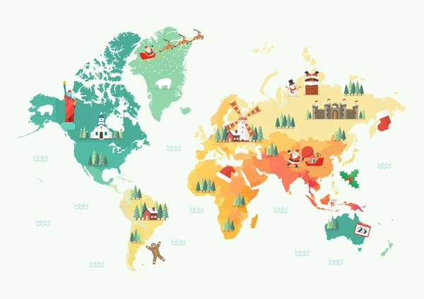
Merry Christmas and Happy New Year World Map. Vector illustration
Merry Christmas Happy New Year World Map Vector Illustration — Stock Vector
Bright illustrated map of the world with cartoon animals, landmarks for kids. continents, animals, plant
Bright illustrated map of the world with cartoon animals, landmarks for kids. continents, animals, plant — Stock Vector
White color World Map and navigation icons
White color World Map and navigation icons — Stock Vector
World map. Continents with the contours of the countries. Vector
World map. Continents with the contours of the countries. Vector — Stock Vector
Simple stylized world map silhouette in modern minimal style. Isolated vector illustration.
Simple Stylized World Map Silhouette Modern Minimal Style Isolated Vector — Stock Vector
Pixel art style world physical map with green and yellow relief
Pixel art style world physical map with green and yellow relief — Stock Vector
Colorful world map on green background, simply vector illustration
Colorful World Map Green Background Simply Vector Illustration — Stock Vector
Vector Blank colorful Intertwined, paper stripes bound pattern similar World map background. Blue, red, green Worldmap template design cover reports infographics. Beautiful World map illustration.
Vector Blank colorful Intertwined, paper stripes bound pattern similar World map background. Blue, red, green Worldmap template design cover reports infographics. Beautiful World map illustration. — Stock Vector
World Map With Cartoon Animals
World Map Cartoon Animals — Stock Vector
World map with capital cities
World map with capital cities — Stock Vector
Cartoon animals flat icon
Cartoon animals flat icon — Stock Vector
Colorful vector World Map
Colorful vector World Map — Stock Vector
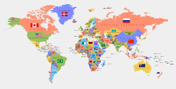
Color world map with the names of countries and flags. Political map.
Color world map with the names of countries and flags. Political map. — Stock Vector
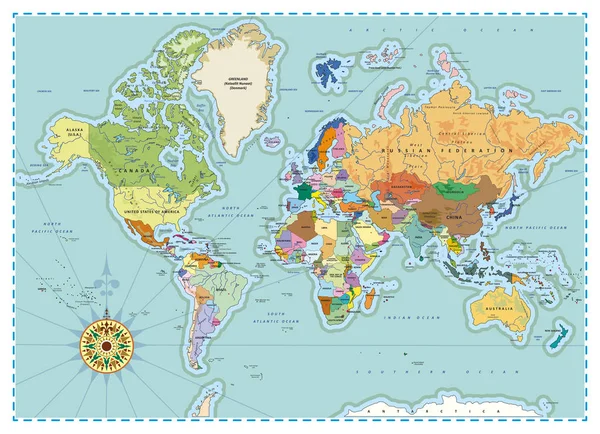
Detailed Political World Map
Detailed Political World Map — Stock Vector
World atlas in color illustration
World Atlas Color Illustration — Stock Vector
World Map Illustration
World Map Illustration — Stock Vector
World vintage map
World vintage map — Stock Vector
Vector of people avatars with signs location the location on the world map. The concept of remote team work via the Internet.
Vector People Avatars Signs Location Location World Map Concept Remote — Stock Vector
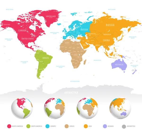
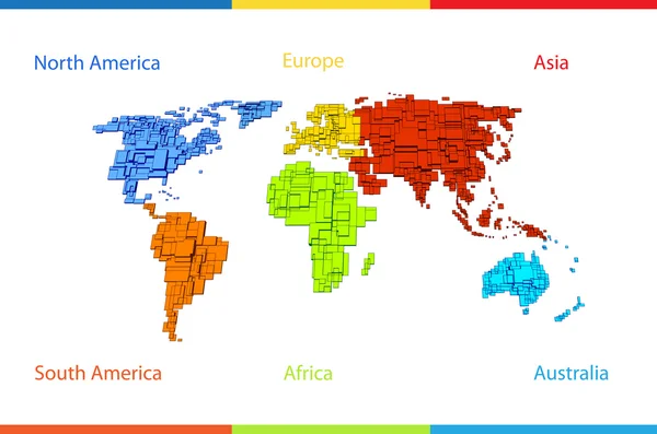
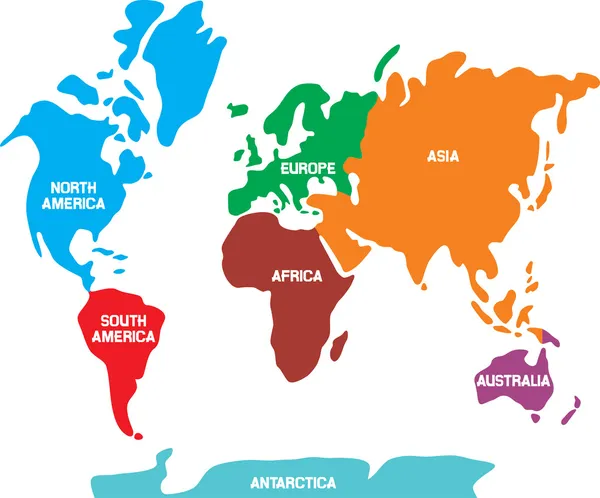
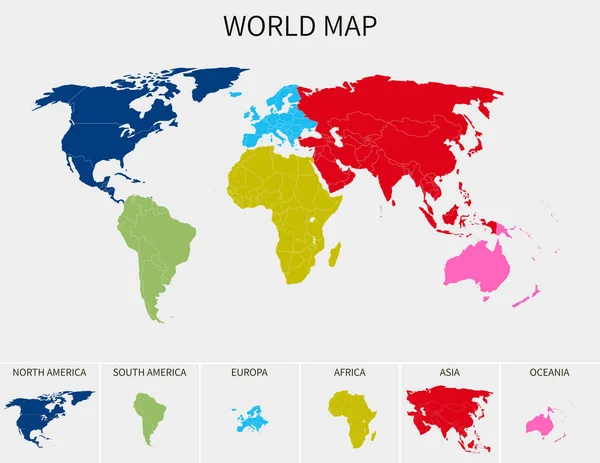
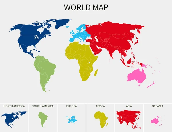
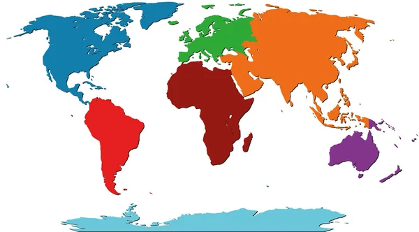
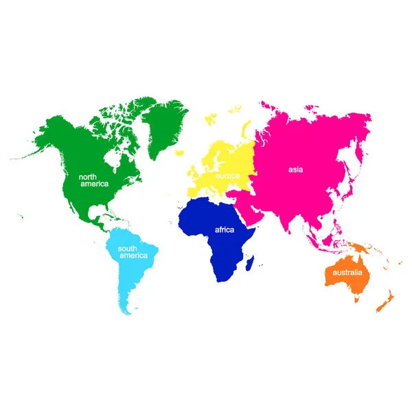
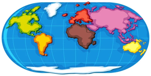
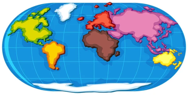
World map divided into six continents in different color. World map 6 continents isolated on white background. Vector stock
World Map Divided Six Continents Different Color World Map Continents — Stock Vector
World map with animals
World map with animals — Stock Vector
World atlas in blue color illustration
World Atlas Blue Color Illustration — Stock Vector
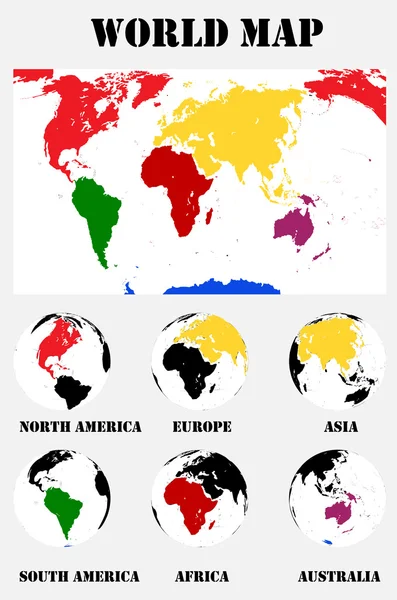
White 3D Vector Globes with World Maps in Same Color. Planet Earth Collection with Colorful Continents
White Vector Globes World Maps Same Color Planet Earth Collection — Stock Vector
Word map with sea location tags
Word map with sea location tags — Stock Vector
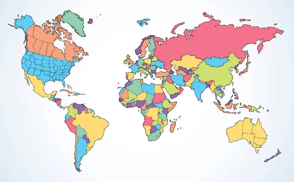
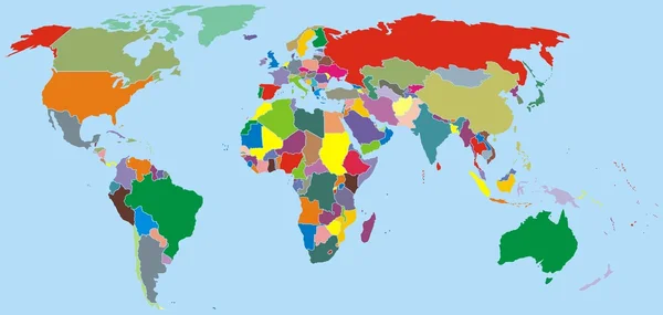
World map with colorful countries
World map with colorful countries — Stock Vector
Vector world map
Vector world map — Stock Vector
Political map of world. White lands and blue water. Vector illustration
Political map of world. White lands and blue water. Vector illustration — Stock Vector
Set of monochrome icons with world map for your design
Set Monochrome Icons World Map Your Design — Stock Vector
Animals world map
Animals world map — Stock Vector
Kid word on a virtual digital background, raster vector illustration
Kid word on a virtual digital background, raster vector illustration — Stock Vector
World map with 22 icons
World map with 22 icons — Stock Vector
World Map Vector Blue Green. Detailed illustration of worldmap
World Map Vector Blue Green. Detailed illustration of worldmap — Stock Vector
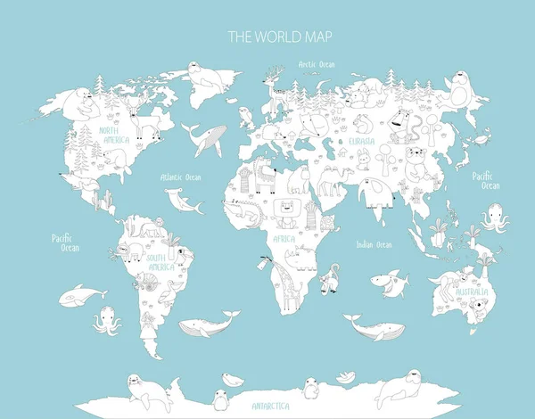
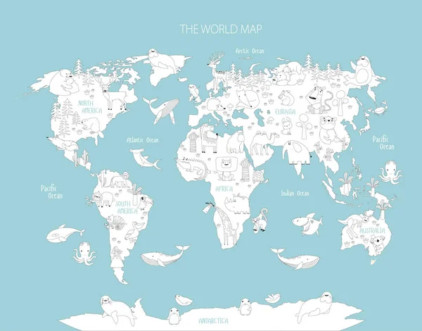
Print. Vector coloring world map with animals. Coloring book for children. Education of a preschooler, schoolchild. Cartoon animals. Lion, tiger, koala, kangaroo, crocodile, monkey, giraffe, shark, whale
Print Vector Coloring World Map Animals Coloring Book Children Education — Stock Vector
Print. Vector coloring world map with animals. Coloring book for children. Education of a preschooler, schoolchild. Cartoon animals. Lion, tiger, koala, kangaroo, crocodile, monkey, giraffe, shark, whale, to
Print Vector Coloring World Map Animals Coloring Book Children Education — Stock Vector
World map with continents
World map with continents — Stock Vector
Simple illustration of a world map in a shade of green
Simple Illustration World Map Shade Green — Stock Vector
World map vector illustration
World Map Vector Illustration — Stock Vector
World map vector illustration
World Map Vector Illustration — Stock Vector
Location of Idaho on USA map with flags and map icons
Location of Idaho on USA map with flags and map icons — Stock Vector
World map vector, isolated on white background. Flat Earth, gray map template for web site pattern
World Map Vector Isolated White Background Flat Earth Gray Map — Stock Vector
Vintage World Map - Vector Illustration
Vintage World Map - Vector Illustration — Stock Vector
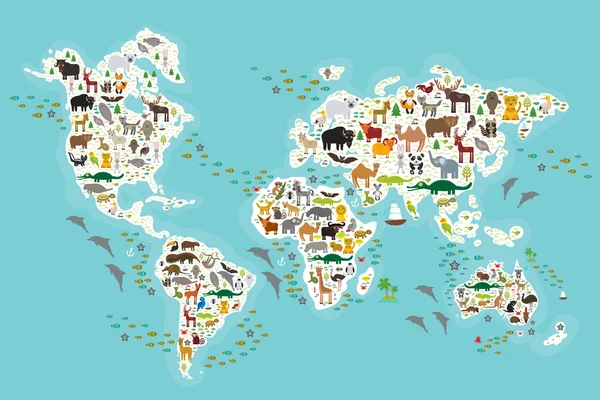
Cartoon animal world map for children and kids, Animals from all over the world, white continents and islands on blue background of ocean and sea. Vector
Cartoon animal world map for children and kids, Animals from all over the world, white continents and islands on blue background of ocean and sea. Vector — Stock Vector
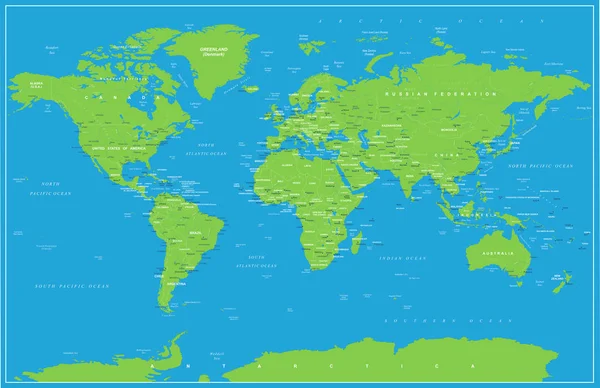
Colorful political map of World divided into six continents on dark blue background. With countries, capital cities, seas and oceans labels. Vector illustration
Colorful political map of World divided into six continents on dark blue background. With countries, capital cities, seas and oceans labels. Vector illustration — Stock Vector
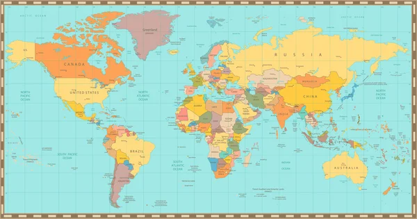
Old vintage color political World map
Old vintage color political World map — Stock Vector
Vector illustration of world map with animals for kids. Flat design.
Vector Illustration World Map Animals Kids Flat Design — Stock Vector
Map Of The World. Vector Illustration.
Map Of The World. Vector Illustration. — Stock Vector
Illustration Graphic Vector World Map colored
Illustration Graphic Vector World Map colored — Stock Vector
World map in a flat style. Earth, globe. Navigation. Route and destination. Icon.
World map in a flat style. Earth, globe. Navigation. Route and destination. Icon. — Stock Vector
Simple stylized world map silhouette
Simple stylized world map silhouette — Stock Vector
World Map Political - Vector Illustration
World Map Political Vector Illustration — Stock Vector
Pixel art style world map green color shape isolated
Pixel art style world map green color shape isolated — Stock Vector
Map of the world
Map of the world — Stock Vector
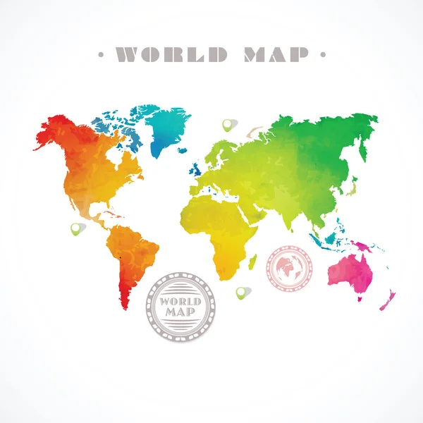
World map of rainbow color
World map of rainbow color — Stock Vector
Map of world
Map of world — Stock Vector
Map of the World
Map of the World — Stock Vector
Colorful map of World
Colorful map of World — Stock Vector
Blue watercolor map
Blue watercolor map — Stock Vector
Vector map of the world with cartoon animals for kids. Europe, Asia, South America, North America, Australia, Africa. Lion, crocodile, kangaroo. koala, whale, bear, elephant, shark, snake, toucan.
Vector Map World Cartoon Animals Kids Europe Asia South America — Stock Vector
Monochrome vector icons with world continents
Monochrome Vector Icons World Continents — Stock Vector
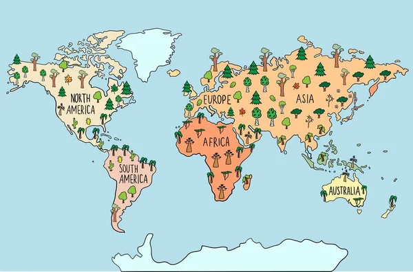
Colored Hand drawn doodle map with trees. Maple tree, pine, birch, palm, sacura. World flora. habitats Vector illustration
Colored Hand Drawn Doodle Map Trees Maple Tree Pine Birch — Stock Vector
World Map Vector Illustration Hand Drawn Cartoon Art
World Map Vector Illustration Hand Drawn Cartoon Art — Stock Vector
Vector world map in different colors on a striped background
Vector World Map Different Colors Striped Background — Stock Vector
World Map and navigation icons - illustration.
World Map and navigation icons - illustration. — Stock Vector
World map or mapa mundi on a blue colored background
World Map Mapa Mundi Blue Colored Background — Stock Vector
World map
World map — Stock Vector
World map colorful
World map colorful — Stock Vector
Grand world map graphic element vector illustration.
Grand World Map Graphic Element Vector Illustration — Stock Vector
Vector world map
Vector world map — Stock Vector
Vintage World Map - Vector Illustration
Vintage World Map - Vector Illustration — Stock Vector
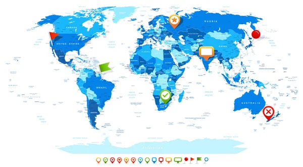
High detailed vector map of World with navigation pins.
High detailed vector map of World with navigation pins. — Stock Vector
Watercolor painting style of world map ( Ecological concept ) . Vector
Watercolor painting style of world map ( Ecological concept ) . Vector — Stock Vector
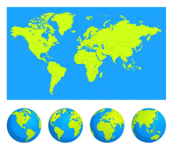
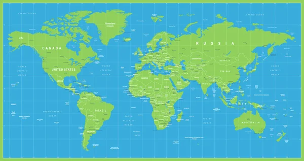
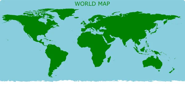
World map simple stlye only green for land and blue for ocean in illustration vector format
World Map Simple Stlye Only Green Land Blue Ocean Illustration — Stock Vector
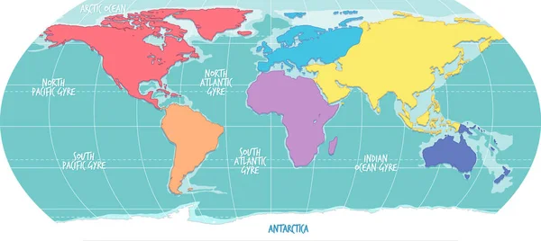
World atlas with seven continents
World atlas with seven continents — Stock Vector
World atlas with seven continents
World atlas with seven continents — Stock Vector
Map of the world
Map of the world — Stock Vector
Political Colored World Map Vector
Political Colored World Map Vector — Stock Vector
Minimalist world map with rounded borders
Minimalist world map with rounded borders — Stock Vector
World map in a flat style. Earth, globe. Navigation. Route and destination. Icon.
World map in a flat style. Earth, globe. Navigation. Route and destination. Icon. — Stock Vector
Vector water-colour world map
Vector water-colour world map — Stock Vector
World map
World map — Stock Vector
Hand drawn doodle map with ornament, pattern or free hand lines. Abstract world map. Vector illustration
Hand drawn doodle map with ornament, pattern or free hand lines. Abstract world map. Vector illustration — Stock Vector
The world map is divided into continents.
The world map is divided into continents. — Stock Vector
World, Globe, Planet Earth Vector Linear Icons Set
World, Globe, Planet Earth Vector Linear Icons Set — Stock Vector
World map in a flat style. Earth, globe. Navigation. Route and destination. Icon.
World map in a flat style. Earth, globe. Navigation. Route and destination. Icon. — Stock Vector
Vector map of the world with cartoon animals for kids. Europe, Asia, South America, North America, Australia, Africa. Lion, crocodile, kangaroo. koala, whale, bear, elephant, shark, snake, toucan.
Vector Map World Cartoon Animals Kids Europe Asia South America — Stock Vector
Globe isolated on white
Globe isolated on white — Stock Vector
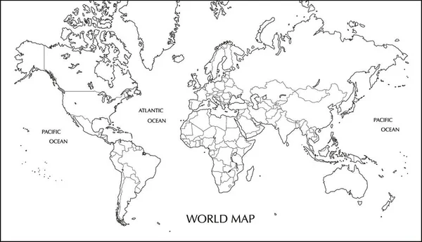
World map, Mercator projection blank map with boundary line
World Map Mercator Projection Blank Map Boundary Line — Stock Vector
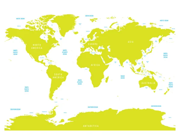
Oceanographical map of World with labels of oceans, seas, gulfs, bays and straits. Vector map with green lands and white water
Oceanographical map of World with labels of oceans, seas, gulfs, bays and straits. Vector map with green lands and white water — Stock Vector
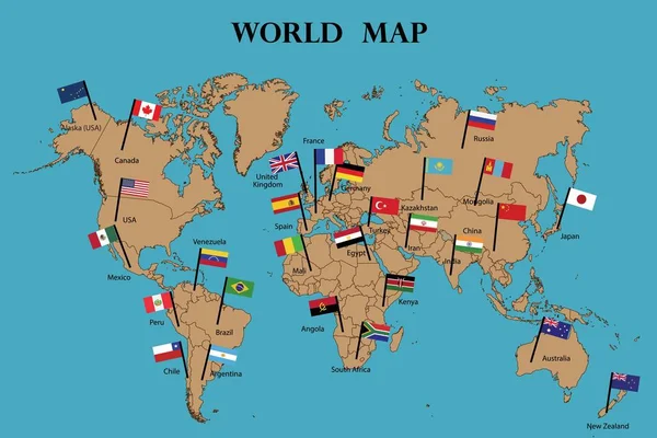
Map of world and Flags of World countries drawing by illustration.Countries names and flags marked on map
Map World Flags World Countries Drawing Illustration Countries Names Flags — Stock Vector

Kids World Map Vector: High-Quality Vector Images for Children's Projects

If you're working on a project for children, you know how important it is to have the right visual assets that capture their attention and spark their imagination. One of the most popular choices for such projects is the Kids World Map Vector, a set of high-quality vector images depicting various parts of the world and its many cultures. These visual assets can be used in a variety of settings, from educational materials to children's books, and they come in different file formats such as JPG, AI, and EPS. Here's a closer look at what you can expect when you choose Kids World Map Vector for your project.
1. What Are Kids World Map Vector Images?

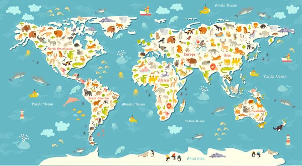
Kids World Map Vector images are digital illustrations developed using vector graphics software, which uses mathematical equations and geometrical shapes to create scalable, high-quality images. These images are designed with children in mind, featuring colorful and playful designs that are eye-catching and easy to understand. Each image in the set depicts a different region or country in the world, with fun border illustrations and labels to help children learn about the various parts of our planet.

2. Where Can You Use Kids World Map Vector Images?

Kids World Map Vector images can be used in a variety of settings, both online and offline. For instance, they can be used in educational materials such as textbooks and posters for the classroom, helping children learn about different countries, cultures, and geographies in an engaging and interactive way. They can also be used in children's books, coloring books, and activity sheets to provide visual interest and context for the stories and activities. Lastly, they can be used in digital media such as websites, email newsletters, and social media posts to add colorful and visually appealing elements that appeal to children.

3. How to Choose the Right Kids World Map Vector Images for Your Project?

Choosing the right Kids World Map Vector images for your project depends on several factors, such as the age range of your audience, the context in which the images will be used, and the overall tone and style you want to achieve. For instance, if you're creating an educational poster for preschoolers, you might want to choose a set of images with bright colors, simple labels, and playful illustrations that are easy to understand. On the other hand, if you're creating a children's book for older kids, you might want to choose images with more detailed illustrations, and informative labels that provide deeper insights into the cultures and histories of different regions.

4. Why Choose Kids World Map Vector Images for Your Children's Projects?

Kids World Map Vector images offer several advantages over other types of visual assets when it comes to children's projects. First, they are highly customizable, allowing you to resize the images without losing quality, modify the colors and labels as needed, and combine different images to create a cohesive design. Second, they are affordable and easily accessible, with many online marketplaces offering sets of Kids World Map Vector images at reasonable prices. Lastly, they are versatile and can be used in a variety of contexts, making them a valuable asset for any children's project that needs to teach and engage young learners.

In conclusion, Kids World Map Vector images are an excellent choice for any children's project that needs high-quality, visually engaging illustrations of different regions and cultures of the world. By choosing the right set of images that match your project's goals, audience, and tone, you can create a memorable and impactful visual experience that teaches, engages, and inspires children of all ages.