Colorado map Stock Vector Images

100,000 Colorado map vector art & graphics are available under a royalty-free license

  • Best Match
  • Fresh
  • Popular
1-100 of 100,000
Colorado road map
Colorado road map — Stock Vector
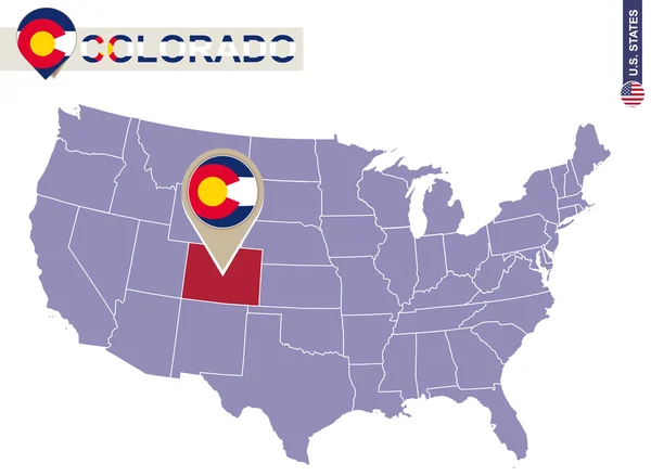
Colorado State on USA Map. Colorado flag and map.
Colorado State on USA Map. Colorado flag and map. — Stock Vector
U.S. state of Colorado on the map on a white background. America
U.S. state of Colorado on the map on a white background. America — Stock Vector
Colorado map with capital city
Colorado Map Capital City — Stock Vector
Colorado frame
Colorado frame — Stock Vector
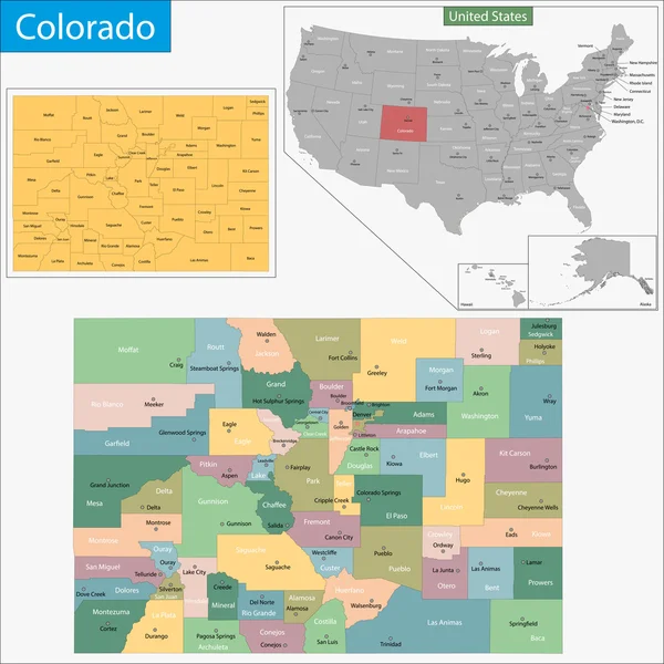
Colorado map
Colorado map — Stock Vector
Colorado, Denver stamp
Colorado, Denver stamp — Stock Vector
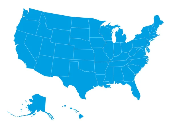
Vector blank map of USA in blue
Vector blank map of USA in blue — Stock Vector
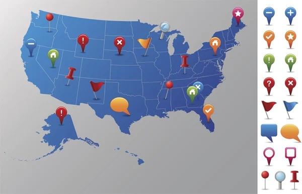
USA Map with GPS Icons.
USA Map with GPS Icons. — Stock Vector
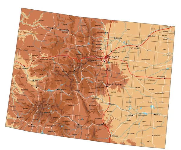
High detailed Colorado physical map.
High Detailed Colorado Physical Map — Stock Vector
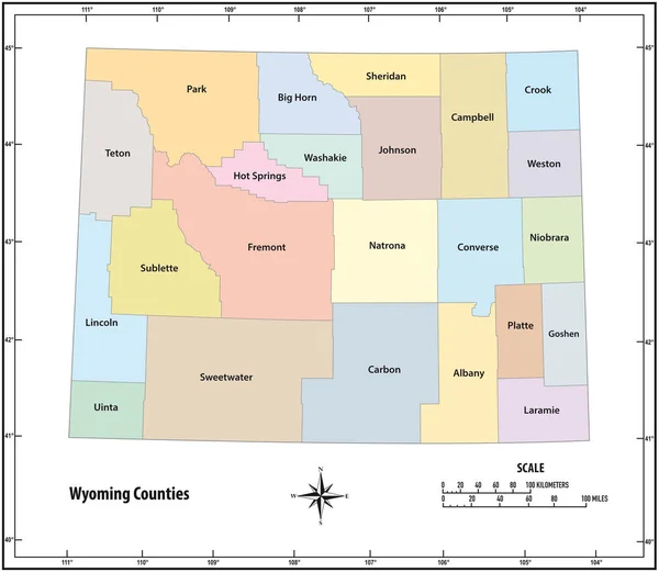
Wyoming state outline administrative and political map in color
Wyoming state outline administrative and political map in color — Stock Vector
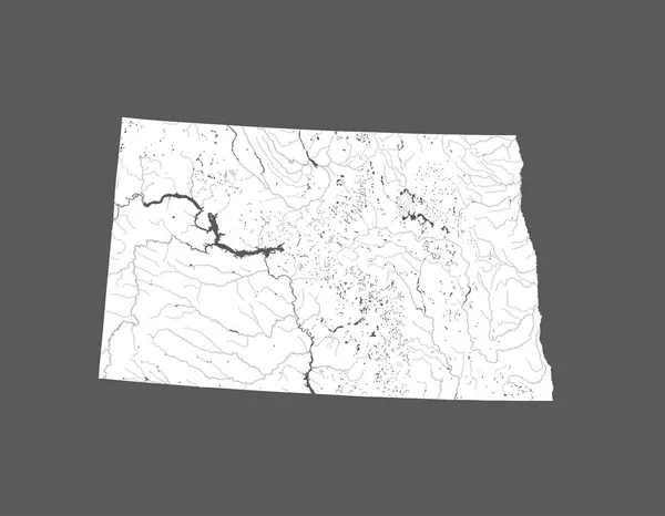
U.S. states - map of North Dakota. Hand made. Rivers and lakes are shown. Please look at my other images of cartographic series - they are all very detailed and carefully drawn by hand WITH RIVERS AND LAKES.
States Map North Dakota Hand Made Rivers Lakes Shown Please — Stock Vector
Trelawny Parish (Parishes of Jamaica, Cornwall County) map vector illustration, scribble sketch Trelawny map
Trelawny Parish (Parishes of Jamaica, Cornwall County) map vector illustration, scribble sketch Trelawny map — Stock Vector
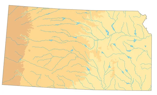
High detailed Kansas physical map.
High Detailed Kansas Physical Map — Stock Vector
Chattanooga City (United States cities, United States of America, usa city) map vector illustration, scribble sketch City of Chattanooga map
Chattanooga City (United States cities, United States of America, usa city) map vector illustration, scribble sketch City of Chattanooga map — Stock Vector
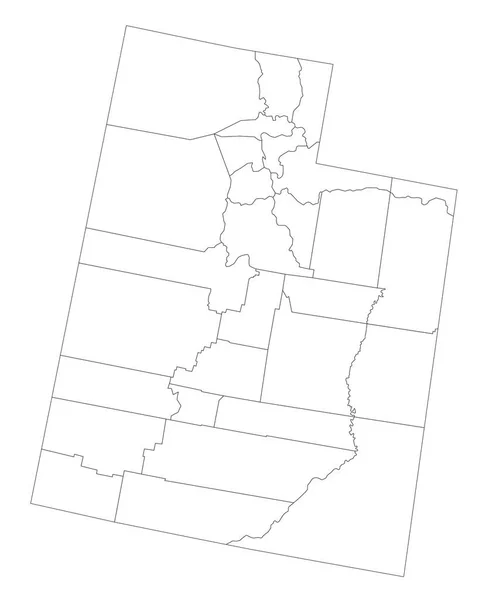
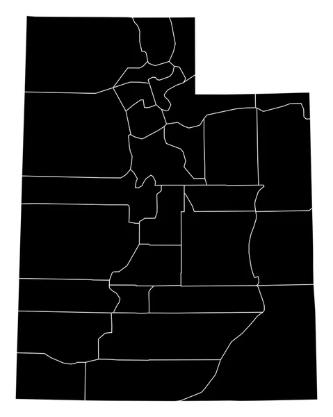
Accurate map of Utah
Accurate map of Utah — Stock Vector
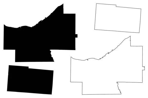
Cuyahoga and Champaign County, Ohio State (U.S. county, United States of America, USA, U.S., US) map vector illustration, scribble sketch map
Cuyahoga Champaign County Ohio State County United States America Usa — Stock Vector
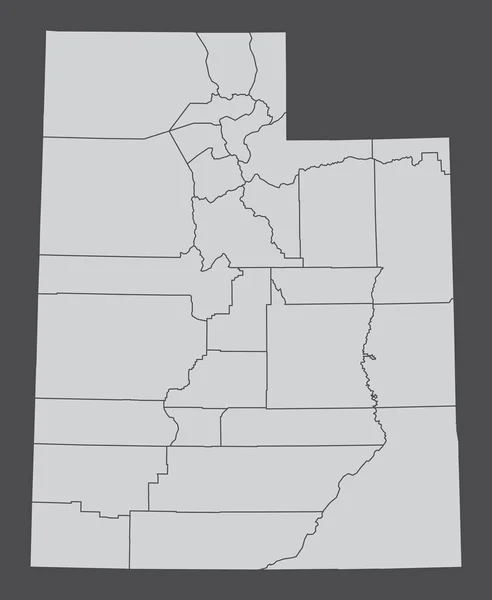
The Utah State, USA. Administrative map isolated on dark background.
Utah State Usa Administrative Map Isolated Dark Background — Stock Vector
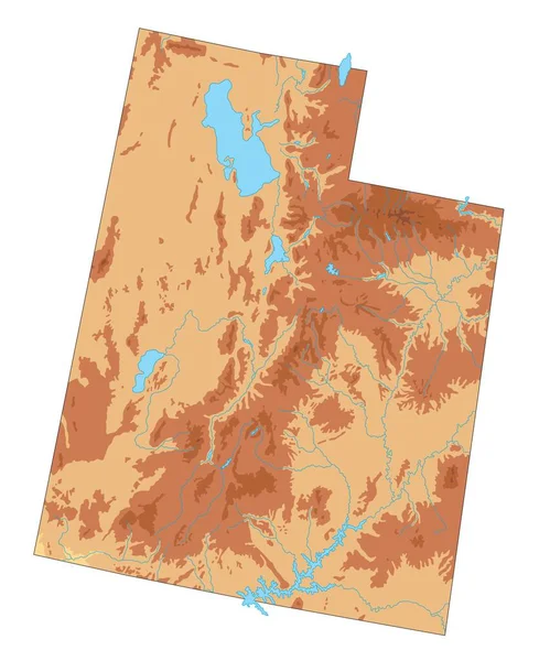
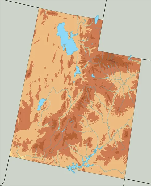
High detailed Utah physical map.
High Detailed Utah Physical Map — Stock Vector
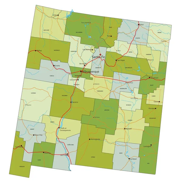
Highly detailed editable political map with separated layers. New Mexico.
Highly Detailed Editable Political Map Separated Layers New Mexico — Stock Vector
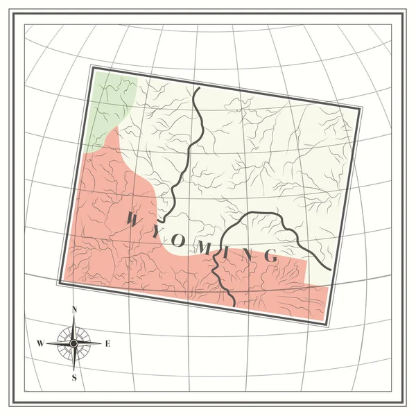
Map of wyoming state
Map Wyoming State — Stock Vector
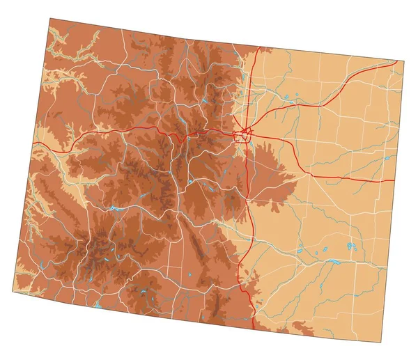
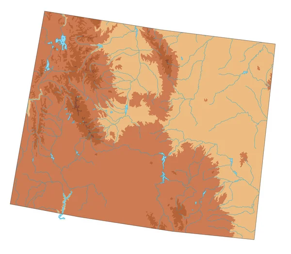
Highly detailed Wyoming physical map.
Highly Detailed Wyoming Physical Map — Stock Vector
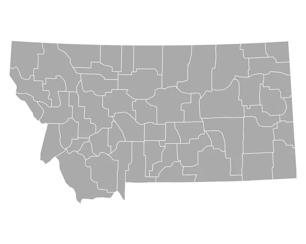
Accurate map of Montana
Accurate map of Montana — Stock Vector
Black highlighted location map of the Cache County inside gray administrative map of the Federal State of Utah, USA
Black Highlighted Location Map Cache County Gray Administrative Map Federal — Stock Vector
Highly Detailed Utah Blind Map.
Highly Detailed Utah Blind Map — Stock Vector
Vector Paper Scroll with Map
Vector Paper Scroll with Map — Stock Vector
Madison County, Idaho (U.S. county, United States of America, USA, U.S., US) map vector illustration, scribble sketch Madison map
Madison County Idaho County United States America Usa Map Vector — Stock Vector
Highly Detailed Wyoming Blind Map.
Highly Detailed Wyoming Blind Map — Stock Vector
High detailed Utah physical map.
High Detailed Utah Physical Map — Stock Vector
Utah state map with counties. Vector illustration.
Utah State Map Counties Vector Illustration — Stock Vector
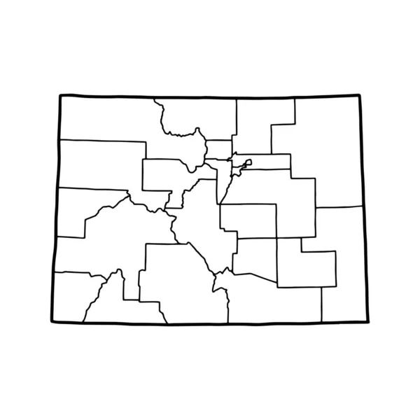
Outline map of Colorado white background. USA state, vector map with contour.
Outline Map Colorado White Background Usa State Vector Map Contour — Stock Vector
Outline map of Wyoming white background. USA state, vector map with contour.
Outline Map Wyoming White Background Usa State Vector Map Contour — Stock Vector
Black highlighted location map of the Rich County inside gray administrative map of the Federal State of Utah, USA
Black Highlighted Location Map Rich County Gray Administrative Map Federal — Stock Vector
Gray vector administrative map of the Federal State of South Dakota, USA with white borders of its counties
Gray Vector Administrative Map Federal State South Dakota Usa White — Stock Vector
Accurate map of Utah
Accurate map of Utah — Stock Vector
Power County, Idaho (U.S. county, United States of America, USA, U.S., US) map vector illustration, scribble sketch Power map
Power County Idaho County United States America Usa Map Vector — Stock Vector
Camas County, Idaho (U.S. county, United States of America, USA, U.S., US) map vector illustration, scribble sketch Camas map
Camas County Idaho County United States America Usa Map Vector — Stock Vector
U.S. states - map of New Mexico. Hand made. Rivers and lakes are shown. Please look at my other images of cartographic series - they are all very detailed and carefully drawn by hand WITH RIVERS AND LAKES.
States Map New Mexico Hand Made Rivers Lakes Shown Please — Stock Vector
Accurate map of Wyoming
Accurate map of Wyoming — Stock Vector
Map of oklahoma state
Map Oklahoma State — Stock Vector
Accurate map of Utah
Accurate map of Utah — Stock Vector
U.S. states - map of Montana. Hand made. Rivers and lakes are shown. Please look at my other images of cartographic series - they are all very detailed and carefully drawn by hand WITH RIVERS AND LAKES.
States Map Montana Hand Made Rivers Lakes Shown Please Look — Stock Vector
Zug (Cantons of Switzerland, Swiss cantons, Swiss Confederation) map vector illustration, scribble sketch Canton of Zug map
Zug Cantons Switzerland Swiss Cantons Swiss Confederation Map Vector Illustration — Stock Vector
Jussiape municipality (Bahia state, Municipalities of Brazil, Federative Republic of Brazil) map vector illustration, scribble sketch Jussiape map
Jussiape Municipality Bahia State Municipalities Brazil Federative Republic Brazil Map — Stock Vector
Highly Detailed Montana Blind Map.
Highly Detailed Montana Blind Map — Stock Vector
High detailed New Mexico physical map.
High Detailed New Mexico Physical Map — Stock Vector
Accurate map of Wyoming
Accurate map of Wyoming — Stock Vector
Idaho map on white background
Idaho Map White Background — Stock Vector
Black highlighted location map of the Maury County inside gray administrative map of the Federal State of Tennessee, USA
Black Highlighted Location Map Maury County Gray Administrative Map Federal — Stock Vector
Map vector illustration isolated on white background
Map Vector Illustration Isolated White Background — Stock Vector
Dakhla-Oued Ed-Dahab Region map vecto
Dakhla-Oued Ed-Dahab Region map vecto — Stock Vector
High detailed Colorado physical map with labeling.
High Detailed Colorado Physical Map Labeling — Stock Vector
Perry County, Illinois (U.S. county, United States of America, USA, U.S., US) map vector illustration, scribble sketch Perry map
Perry County Illinois County United States America Usa Map Vector — Stock Vector
Prairie County, Montana (U.S. county, United States of America, USA, U.S., US) map vector illustration, scribble sketch Prairie map
Prairie County Montana County United States America Usa Map Vector — Stock Vector
Country Shape Illustration of Mali
Country Shape Illustration of Mali — Stock Vector
Henry and Harrison County, Ohio State (U.S. county, United States of America, USA, U.S., US) map vector illustration, scribble sketch map
Henry Harrison County Ohio State County United States America Usa — Stock Vector
Accurate map of Idaho
Accurate map of Idaho — Stock Vector
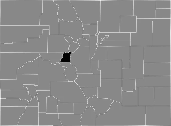
Black highlighted location map of the US Pitkin county inside gray map of the Federal State of Colorado, USA
Black Highlighted Location Map Pitkin County Gray Map Federal State — Stock Vector
Black highlighted location map of the US City and County of Denver inside gray map of the Federal State of Colorado, USA
Black Highlighted Location Map City County Denver Gray Map Federal — Stock Vector
Black highlighted location map of the Perry County inside gray administrative map of the Federal State of Tennessee, USA
Black Highlighted Location Map Perry County Gray Administrative Map Federal — Stock Vector
Map USA isolated. America sign. United States. Landmark America.
Map USA isolated. America sign. United States. Landmark America. — Stock Vector
Pulaski County, Arkansas (U.S. county, United States of America,USA, U.S., US) map vector illustration, scribble sketch Pulaski map
Pulaski County, Arkansas (U.S. county, United States of America,USA, U.S., US) map vector illustration, scribble sketch Pulaski map — Stock Vector
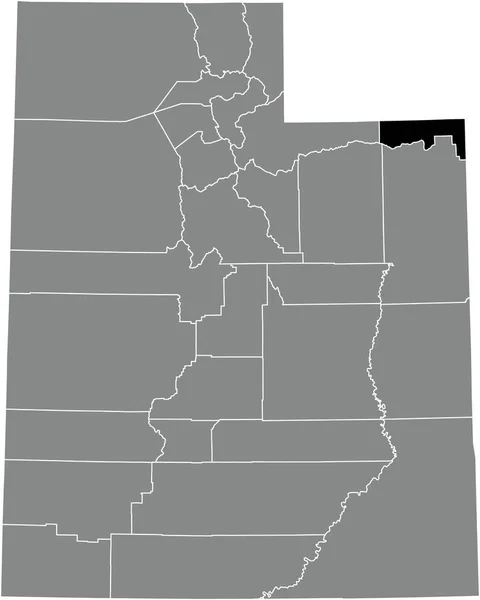
Black highlighted location map of the Daggett County inside gray administrative map of the Federal State of Utah, USA
Black Highlighted Location Map Daggett County Gray Administrative Map Federal — Stock Vector
Wanica District (Surinam, Republic of Suriname) map vector illustration, scribble sketch Wanica map
Wanica District Surinam Republic Suriname Map Vector Illustration Scribble Sketch — Stock Vector
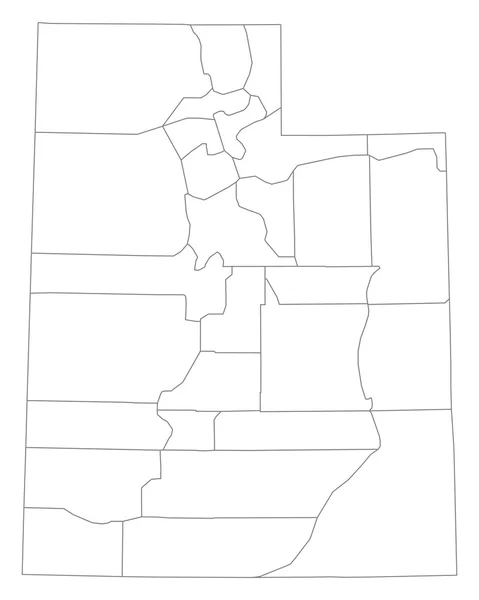
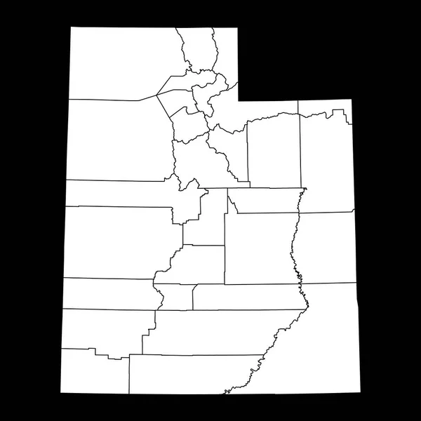
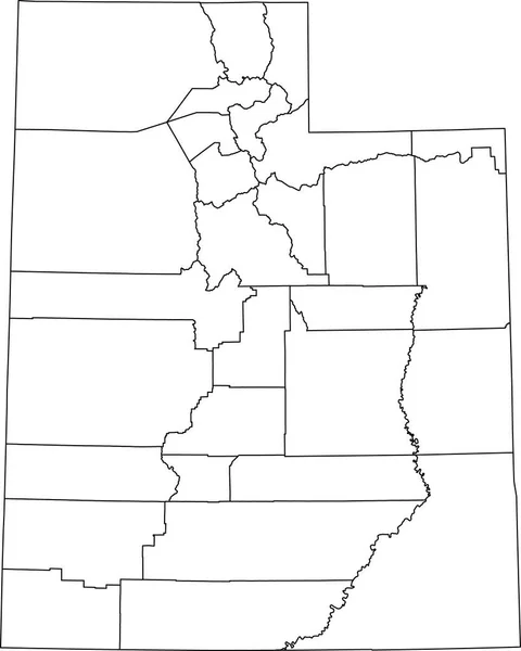
White blank vector administrative map of the Federal State of Utah, USA with black borders of its counties
White Blank Vector Administrative Map Federal State Utah Usa Black — Stock Vector
Map of Broomfield in Colorado
Map Broomfield Colorado — Stock Vector
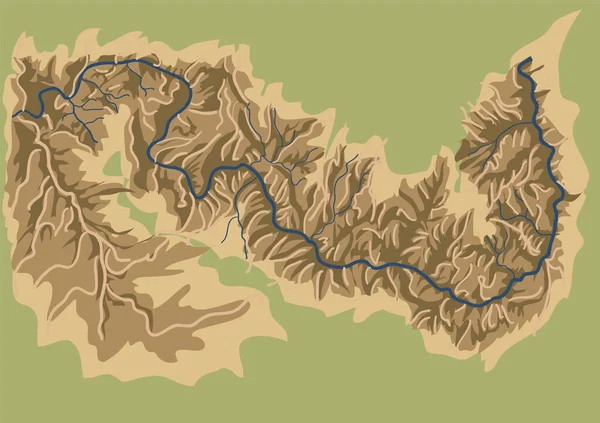
Grand canyon national park abstract vector map
Grand Canyon National Park Abstract Vector Map — Stock Vector
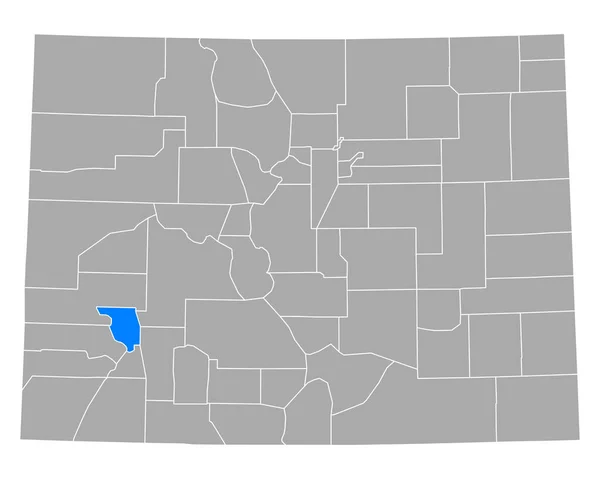
Map of Ouray in Colorado
Map Ouray Colorado — Stock Vector
Routt County, Colorado (U.S. county, United States of America,USA, U.S., US) map vector illustration, scribble sketch Routt map
Routt County, Colorado (U.S. county, United States of America,USA, U.S., US) map vector illustration, scribble sketch Routt map — Stock Vector
Black highlighted location map of the US Lake county inside gray map of the Federal State of Colorado, USA
Black Highlighted Location Map Lake County Gray Map Federal State — Stock Vector
Black highlighted location map of the Beaver County inside gray administrative map of the Federal State of Utah, USA
Black Highlighted Location Map Beaver County Gray Administrative Map Federal — Stock Vector
Cunene Province map vecto
Cunene Province map vecto — Stock Vector
Outline map of Utah white background. USA state, vector map with contour.
Outline Map Utah White Background Usa State Vector Map Contour — Stock Vector
Outdoor icon mountain
Outdoor icon mountain — Stock Vector
Utah state map with counties. Vector illustration.
Utah State Map Counties Vector Illustration — Stock Vector
Quebradillas municipality (Commonwealth of Puerto Rico, Porto Rico, PR, Unincorporated territories of the United States) map vector illustration, scribble sketch Quebradillas map
Quebradillas municipality (Commonwealth of Puerto Rico, Porto Rico, PR, Unincorporated territories of the United States) map vector illustration, scribble sketch Quebradillas map — Stock Vector
U.S. states - map of Kansas. Hand made. Rivers and lakes are shown. Please look at my other images of cartographic series - they are all very detailed and carefully drawn by hand WITH RIVERS AND LAKES.
States Map Kansas Hand Made Rivers Lakes Shown Please Look — Stock Vector
Map of missouri stylized vector illustration
Map Missouri Stylized Vector Illustration — Stock Vector
Accurate map of Colorado
Accurate map of Colorado — Stock Vector
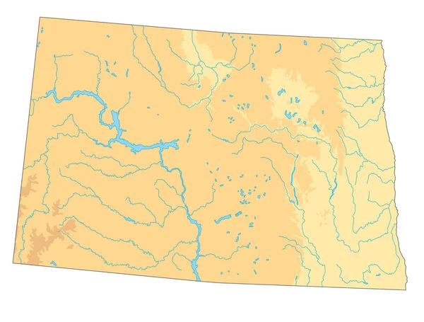
Highly detailed North Dakota physical map.
Highly Detailed North Dakota Physical Map — Stock Vector
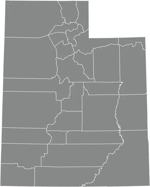
Gray vector administrative map of the Federal State of Utah, USA with white borders of its counties
Gray Vector Administrative Map Federal State Utah Usa White Borders — Stock Vector
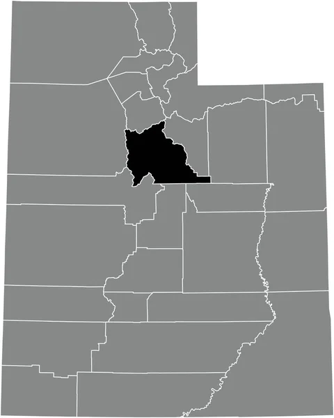
Black highlighted location map of the Utah County inside gray administrative map of the Federal State of Utah, USA
Black Highlighted Location Map Utah County Gray Administrative Map Federal — Stock Vector
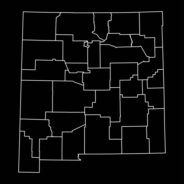
New Mexico state map with counties. Vector illustration.
New Mexico State Map Counties Vector Illustration — Stock Vector
Highly detailed Western Sahara map with borders isolated on background
Highly Detailed Western Sahara Map Borders Isolated Background — Stock Vector
Colorado state map with counties. Vector illustration.
Colorado State Map Counties Vector Illustration — Stock Vector
Isometric rock mountain with lake, river and house. Isolated on white
Isometric Rock Mountain Lake River House Isolated White — Stock Vector
Highly detailed editable political map with separated layers. New Mexico.
Highly Detailed Editable Political Map Separated Layers New Mexico — Stock Vector
Arizona state map. US state map. Arizona outline symbol. Vector illustration
Arizona State Map State Map Arizona Outline Symbol Vector Illustration — Stock Vector
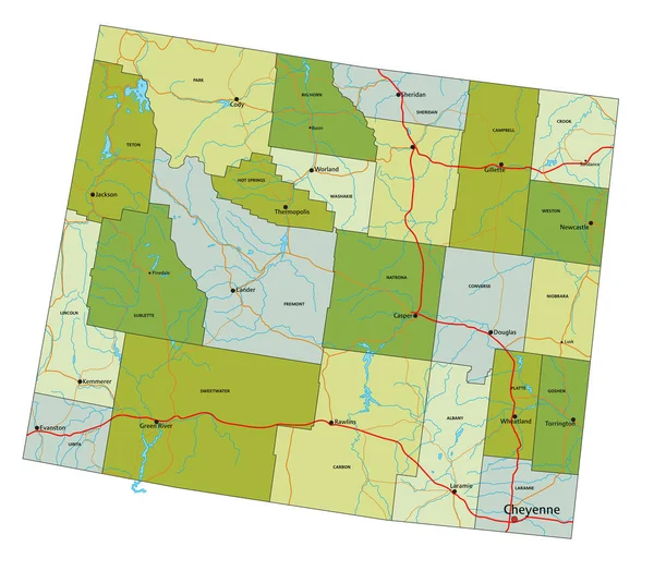
Highly detailed editable political map with separated layers. Wyoming.
Highly Detailed Editable Political Map Separated Layers Wyoming — Stock Vector
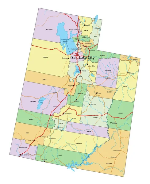
Utah - Highly detailed editable political map with labeling.
Utah Highly Detailed Editable Political Map Labeling — Stock Vector
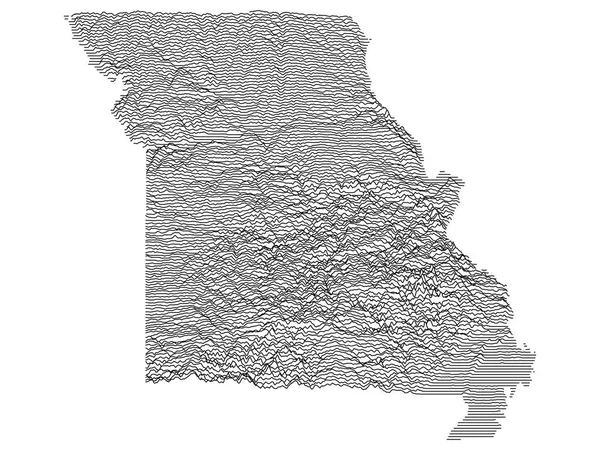
Topographic Relief Peaks and Valleys Map of US Federal State of Missouri
Topographic Relief Peaks Valleys Map Federal State Missouri — Stock Vector
Map of Garfield in Colorado
Map Garfield Colorado — Stock Vector
Black highlighted location map of the Iron County inside gray administrative map of the Federal State of Utah, USA
Black Highlighted Location Map Iron County Gray Administrative Map Federal — Stock Vector
Haralson County, Georgia (U.S. county, United States of America,USA, U.S., US) map vector illustration, scribble sketch Haralson map
Haralson County Georgia County United States America Usa Map Vector — Stock Vector
Black highlighted location map of the Millard County inside gray administrative map of the Federal State of Utah, USA
Black Highlighted Location Map Millard County Gray Administrative Map Federal — Stock Vector
U.S. states - map of Idaho. Hand made. Rivers and lakes are shown. Please look at my other images of cartographic series - they are all very detailed and carefully drawn by hand WITH RIVERS AND LAKES.
States Map Idaho Hand Made Rivers Lakes Shown Please Look — Stock Vector
Rosebud County, Montana (U.S. county, United States of America, USA, U.S., US) map vector illustration, scribble sketch Rosebud map
Rosebud County Montana County United States America Usa Map Vector — Stock Vector
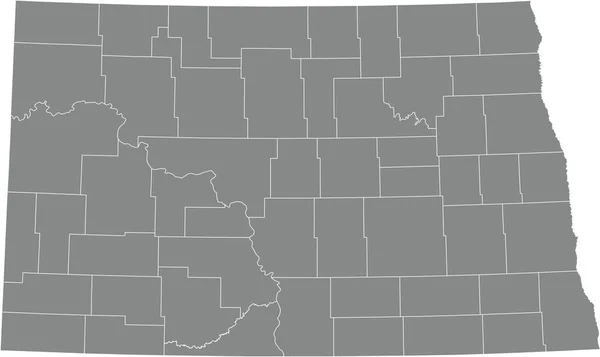
Gray vector administrative map of the Federal State of North Dakota, USA with white borders of its counties
Gray Vector Administrative Map Federal State North Dakota Usa White — Stock Vector
Topographic military radar tactical map of the Federal State of Maryland, USA with emerald green contour lines on dark green background
Topographic Military Radar Tactical Map Federal State Maryland Usa Emerald — Stock Vector
Related vector searches

Discover Your Perfect Colorado Map Vector

If you're looking for high-quality vector images of the stunning state of Colorado, look no further than our collection of digital graphics. Whether you're designing a travel brochure, creating a website for a local business, or simply decorating your home office, our Colorado map vector images will add a touch of authentic Rocky Mountain charm to your project.

The Best variety of Colorado Map Vectors

Our collection includes a range of Colorado map vector formats, so you can choose the file that best suits your needs. We offer scalable vector graphics (.SVG), high-resolution JPGs, and editable EPS files. This variety ensures that you can use our images in a range of applications, from small online graphics to large format prints.

In addition to offering different file formats, we also have a range of styles to choose from. Our collection includes bright, colorful images of Colorado that are perfect for travel and tourism promotion, as well as more muted and natural-looking illustrations that are perfect for home décor or adventure websites.

How to Use Colorado Map Vectors in your Project

Vector images are a great choice for many different design projects, as they are easily scalable and can be edited without losing resolution. However, it's important to use them correctly to ensure that your project looks its best.

One of the best ways to use Colorado map vector images is to overlay them on top of photographs or other graphics. This adds depth and visual interest to your composite design, and makes it clear where your business or event is located in the state. Additionally, you can use vector maps to create unique and creative graphics for your social media channels, such as infographics or data visualizations.

Why Choose Our Colorado Map Vectors?

Choosing the right vector image is important for any project, and our Colorado map vectors offer some distinct advantages over other options.

First, our images are high-quality and professionally designed. We've taken care to ensure that each file is clean and easy to edit, with clear boundaries and bold visual elements. Additionally, our variety of styles and file formats allows you to choose the exact image you need for your project's requirements.

So, whether you're designing a poster for a local event, creating a website for a hiking trail, or simply displaying your love of Colorado in your home, our Colorado map vector images are the perfect choice.