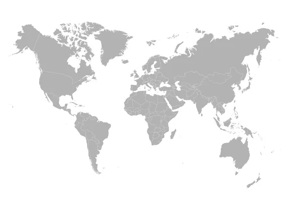
World map with smoothed country borders — Stock Vector

World map with smoothed country borders — Vector

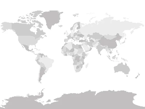
World map with smoothed country borders. Thin white outline on dark grey background

 — Vector by pyty

Same Series:

Political map of World with dots instead of small states. Blank map for school quiz. Simplified black thin outline on white background.
Political map of World with dots instead of small states. Blank map for school quiz. Simplified black thin outline on white background — Stock Vector
Simplified schematic map of World. Political map of countries with name labels. Generalized and smoothed borders. Simple flat thin black outline vector illustration
Simplified smooth border World map — Stock Vector
Simplified blank schematic map of World. Political map of countries with generalized borders. Simple flat vector illustration
Simplified Blank Schematic Map World Political Map Countries Generalized Borders — Stock Vector
Simplified schematic map of World. Political blank map of countries. Generalized and smoothed borders. Simple flat thin black outline vector illustration
Simplified smooth border World map — Stock Vector
Grey World map on white background. High detail blank political. Vector illustration.
Grey World map on white background. High detail blank political. Vector illustration — Stock Vector
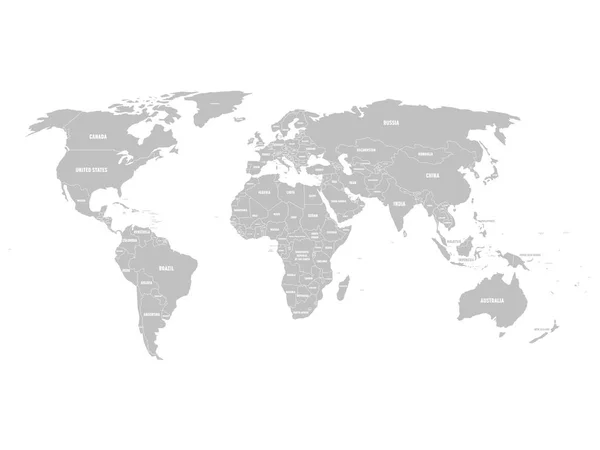
Grey political World map with country borders and white state name labels. Hand drawn simplified vector illustration.
Grey political World map with country borders and white state name labels. Hand drawn simplified vector illustration — Stock Vector
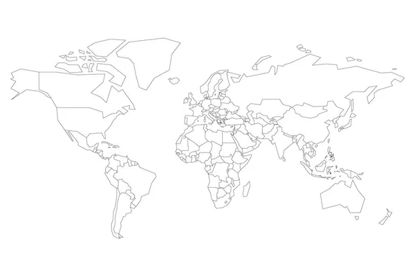
Political map of World. Blank map for school quiz. Simplified black thin outline on white background.
Political map of World. Blank map for school quiz. Simplified black thin outline on white background — Stock Vector
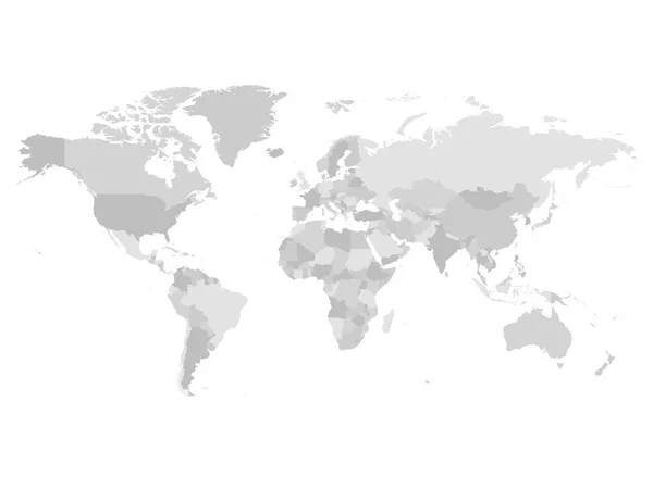
World map in four shades of grey on white background. High detail blank political map. Vector illustration with labeled compound path of each country.
World map in four shades of grey on white background. High detail blank political map. Vector illustration with labeled compound path of each country — Stock Vector
World map with country borders, thin black outline on white background. Simple high detail line vector wireframe.
World map with country borders, thin black outline on white background. Simple high detail line vector wireframe — Stock Vector
Italy marked by blue in grey World political map. Vector illustration.
Italy marked by blue in grey World political map. Vector illustration — Stock Vector
Blank outline map of World. Vector illustration.
Blank outline map of World. Vector illustration — Stock Vector
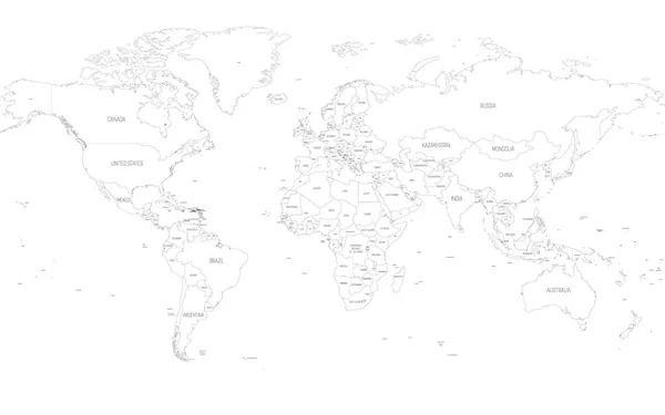
Map of World. Detailed thin black outline political map with country names. Vector map.
Map of World. Detailed thin black outline political map with country names. Vector map — Stock Vector
Simplified blank schematic map of World. Political map of countries with generalized borders. Simple flat vector illustration
Simplified Blank Schematic Map World Political Map Countries Generalized Borders — Stock Vector
Map of world with black outline and grey fill, vector illustration
World map outline — Stock Vector
Map of World. Detailed thin black outline political map with country names. Vector map.
Map of World. Detailed thin black outline political map with country names. Vector map — Stock Vector
Simplified schematic map of World. Blank political map of countries. Generalized and smoothed borders. Simple flat vector illustration
Simplified smooth border World map — Stock Vector

Similar Stock Videos:

Points appear on the world map. Outbreaks Epidemic, virus. Dissemination of knowledge, social networks, technologies. Black and white background. 4K.
Points Appear World Map Outbreaks Epidemic Virus Dissemination Knowledge Social — Stock Video
Drawing contours, borders of continents and islands, map planet earth. High quality 4k footage
Drawing contours, borders of continents and islands, map planet earth — Stock Video
Grey shape of world map against black screen
Grey shape of world map — Stock Video
4k Global GPS data detect earth map military radar GPS navigation interface.
4k Global GPS data detect earth map military radar GPS navigation interface. — Stock Video
World map animation drawn with lines ( 4K | MP4 )
World Map Animation Drawn Lines Mp4 — Stock Video
Animation of a social network diagram on a world map. Network connection from different parts of the world. The concept of cooperation, communication or connection. Alpha channel. 4K
Animation of a social network diagram on a world map. Network connection from different parts of the world. The concept of cooperation, communication or connection. Alpha channel. 4K — Stock Video
Lines drawing animation. Simplified flat world map illustration with main large territories of the world. White background.
Lines Drawing Animation Simplified Flat World Map Illustration Main Large — Stock Video
A world map and connection line all over the world
A growing network across the world — Stock Video
The coronavirus is flooding world. Animation of epidemic situation with coronavirus (COVID-19, SARS-COV-2). Virus particle bounce on the world map from east to west. Pandemic concept, 3D render.
Coronavirus Flooding World Animation Epidemic Situation Coronavirus Covid Sars Cov — Stock Video
Wire-frame earth map rotating fast in the seamless loop with white isolated background
Wire Frame Earth Map Rotating Fast Seamless Loop White Isolated — Stock Video
Spring And Scaling Motion Of Conceptual World Map With Geometric Triangles Forming Diamond Forms With Blue And Magenta Colours In Opposite Brightness
Spring Scaling Motion Conceptual World Map Geometric Triangles Forming Diamond — Stock Video
World map from particles, dots. Digital planet Earth. Abstract animation background.
World Map Particles Dots Digital Planet Earth Abstract Animation Background — Stock Video
4K Looping World Map Animation Glitch.
4K Looping World Map Animation Glitch — Stock Video
Animation of colourful world map on white background. global travel and connection concept digitally generated video.
Animation Colourful World Map White Background Global Travel Connection Concept — Stock Video
Wire-frame earth map rotating slowly in the seamless loop with white isolated background
Wire Frame Earth Map Rotating Slowly Seamless Loop White Isolated — Stock Video
Animation of world map with individual countries
Animation of world map with individual countries — Stock Video
White background, 2 in 1, loop (151-450 frames), alpha matte, created in 4K, 3d animation
World Map Turns Into a Globe. A look inside — Stock Video
Green world map silhouette form green binary tunnel on white background. Seamless loop. More icons and color options available in my portfolio.
Green World Map Silhouette Form Green Binary Tunnel White Background — Stock Video

Usage Information

You can use this royalty-free vector image "World map with smoothed country borders" for personal and commercial purposes according to the Standard or Extended License. The Standard License covers most use cases, including advertising, UI designs, and product packaging, and allows up to 500,000 print copies. The Extended License permits all use cases under the Standard License with unlimited print rights and allows you to use the downloaded vector files for merchandise, product resale, or free distribution.

This stock vector image is scalable to any size. You can buy and download it in high resolution up to 12000x9000. Upload Date: Nov 22, 2015