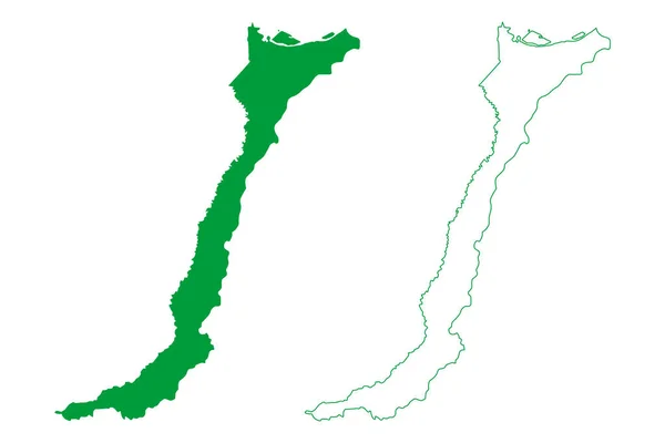
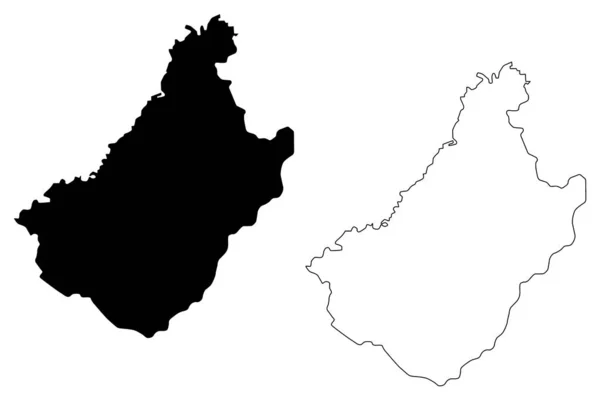
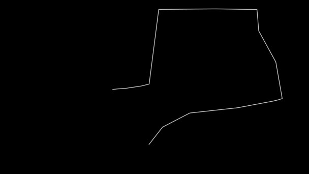
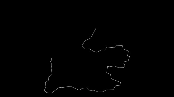
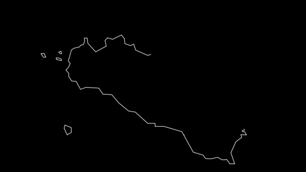
Western Tobago region (Regional corporations and municipalities, Republic of Trinidad and Tobago) map vector illustration, scribble sketch Western Tobago map — Stock Vector

Western Tobago region (Regional corporations and municipalities, Republic of Trinidad and Tobago) map vector illustration, scribble sketch Western Tobago map — Vector

Western Tobago region (Regional corporations and municipalities, Republic of Trinidad and Tobago) map vector illustration, scribble sketch Western Tobago map

 — Vector by Danler

Same Series:

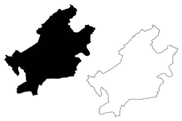
Frankfurt City (Federal Republic of Germany, Hesse) map vector illustration, scribble sketch City of Frankfurt am Main map
Frankfurt City (Federal Republic of Germany, Hesse) map vector illustration, scribble sketch City of Frankfurt am Main map — Stock Vector
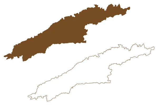
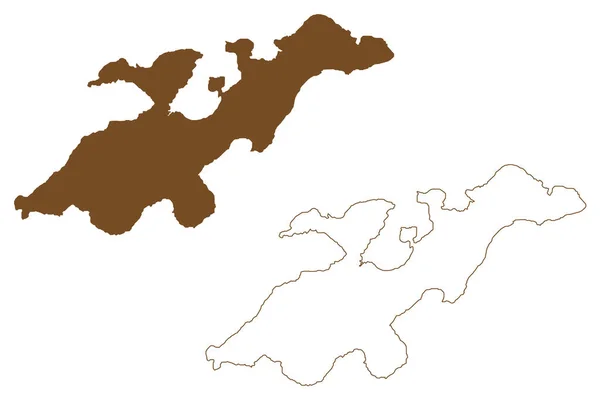
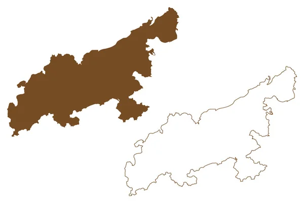
Hydra island (Hellenic Republic, Greece, Greek island, Saronic Islands) map vector illustration, scribble sketch Ydra or Idra map
Hydra Island Hellenic Republic Greece Greek Island Saronic Islands Map — Stock Vector
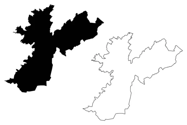
Tuzi Municipality (Montenegro, Municipalities of Montenegro) map vector illustration, scribble sketch Tuzi map
Tuzi Municipality Montenegro Municipalities Montenegro Map Vector Illustration Scribble Sketch — Stock Vector
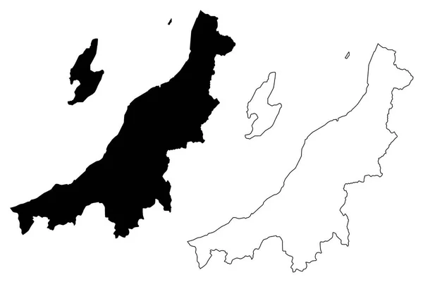
Niigata Prefecture (Administrative divisions of Japan, Prefectures of Japan) map vector illustration, scribble sketch Niigata map
Niigata Prefecture Administrative Divisions Japan Prefectures Japan Map Vector Illustration — Stock Vector
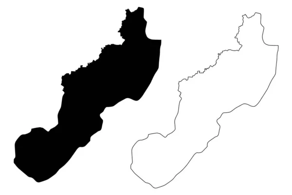
Jinotega Department (Republic of Nicaragua, Departments of Nicaragua) map vector illustration, scribble sketch Jinotega (NI-JI) map
Jinotega Department (Republic of Nicaragua, Departments of Nicaragua) map vector illustration, scribble sketch Jinotega (NI-JI) map — Stock Vector
Benjamin Constant municipality (Amazonas state, Municipalities of Brazil, Federative Republic of Brazil) map vector illustration, scribble sketch Benjamin Constant map
Benjamin Constant Municipality Amazonas State Municipalities Brazil Federative Republic Brazil — Stock Vector
Kakamega County (Republic of Kenya, Western Province) map vector illustration, scribble sketch Kakamega map
Kakamega County Republic Kenya Western Province Map Vector Illustration Scribble — Stock Vector
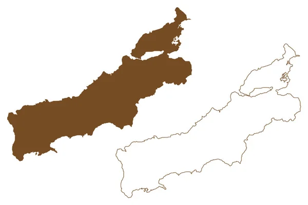
Lembata island (Republic of Indonesia, Lesser Sunda Islands) map vector illustration, scribble sketch Lomblen map
Lembata Island Republic Indonesia Lesser Sunda Islands Map Vector Illustration — Stock Vector
Rote island (Republic of Indonesia, South East Asia, East Nusa Tenggara) map vector illustration, scribble sketch Rote map
Rote Island Republic Indonesia South East Asia East Nusa Tenggara — Stock Vector
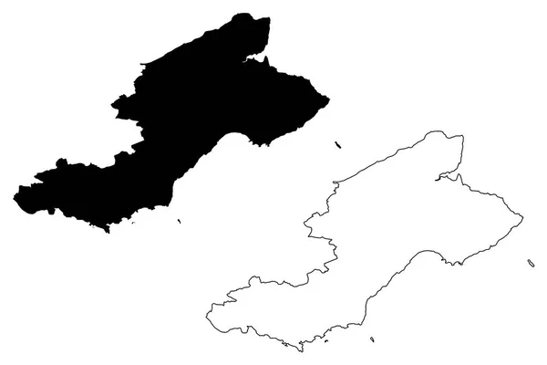
Fife (United Kingdom, Scotland, Local government in Scotland) map vector illustration, scribble sketch Kingdom of Fife map
Fife United Kingdom Scotland Local Government Scotland Map Vector Illustration — Stock Vector
Chagang Province (Democratic Peoples Republic of Korea, DPRK, DPR Korea, Provinces of North Korea) map vector illustration, scribble sketch Chagangdo map
Chagang Province map vecto — Stock Vector
Lantau island (Hong Kong Special Administrative Region of the People's Republic of China, HKSAR) map vector illustration, scribble sketch Lantao or Lan Tao map
Lantau Island Hong Kong Special Administrative Region People Republic China — Stock Vector
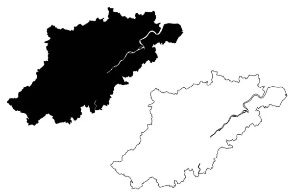
Hangzhou City (People's Republic of China, Zhejiang Province) map vector illustration, scribble sketch City of Hangchow, Hang Tsei, Hang-chou map
Hangzhou City People Republic China Zhejiang Province Map Vector Illustration — Stock Vector
Geneva (Cantons of Switzerland, Swiss cantons, Swiss Confederation) map vector illustration, scribble sketch Republic and Canton of Geneva map
Geneva Cantons Switzerland Swiss Cantons Swiss Confederation Map Vector Illustration — Stock Vector
Nabatieh Governorate (Lebanese Republic, Governorates of Lebanon) map vector illustration, scribble sketch Nabatieh map
Nabatieh Governorate (Lebanese Republic, Governorates of Lebanon) map vector illustration, scribble sketch Nabatieh ma — Stock Vector
Tashkent Region (Republic of Uzbekistan, Regions of Uzbekistan) map vector illustration, scribble sketch Tashkent map
Tashkent Region map vecto — Stock Vector

Usage Information

You can use this royalty-free vector image "Western Tobago region (Regional corporations and municipalities, Republic of Trinidad and Tobago) map vector illustration, scribble sketch Western Tobago map" for personal and commercial purposes according to the Standard or Extended License. The Standard License covers most use cases, including advertising, UI designs, and product packaging, and allows up to 500,000 print copies. The Extended License permits all use cases under the Standard License with unlimited print rights and allows you to use the downloaded vector files for merchandise, product resale, or free distribution.

This stock vector image is scalable to any size. You can buy and download it in high resolution up to 7087x4726. Upload Date: Jan 13, 2020