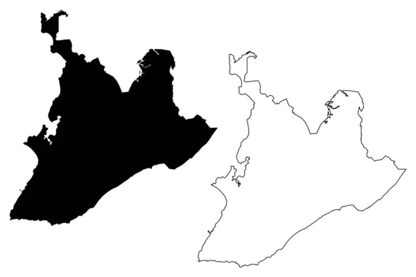
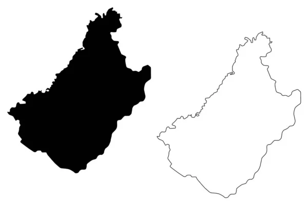
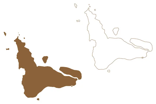
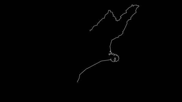
Salvador Municipality Bahia State Municipalities Brazil Federative Republic Brazil Map — Stock Vector

Salvador municipality (Bahia state, Municipalities of Brazil, Federative Republic of Brazil) map vector illustration, scribble sketch Sao Salvador da Bahia de Todos os Santos map — Vector

Salvador municipality (Bahia state, Municipalities of Brazil, Federative Republic of Brazil) map vector illustration, scribble sketch Sao Salvador da Bahia de Todos os Santos map

 — Vector by Danler

Same Series:

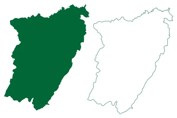
Theni district (Tamil Nadu State, Republic of India) map vector illustration, scribble sketch Theni map
Theni District Tamil Nadu State Republic India Map Vector Illustration — Stock Vector
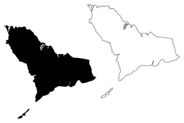
Western Area (Republic of Sierra Leone, Salone, Sherbro Island) map vector illustration, scribble sketch Freetown Peninsula (Colony of Sierra Leone) map
Western Area (Republic of Sierra Leone, Salone, Sherbro Island) map vector illustration, scribble sketch Freetown Peninsula (Colony of Sierra Leone) map — Stock Vector
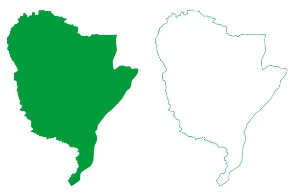
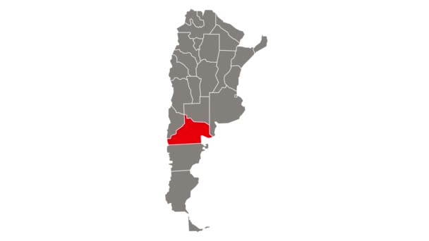
Potiretama municipality (Ceara state, Municipalities of Brazil, Federative Republic of Brazil) map vector illustration, scribble sketch Potiretama map
Potiretama Municipality Ceara State Municipalities Brazil Federative Republic Brazil Map — Stock Vector
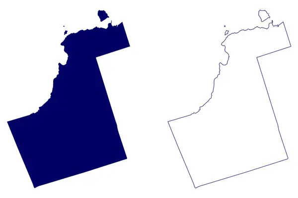
Regional Municipality of York (Canada, Ontario Province, North America) map vector illustration, scribble sketch York Region map
Regional Municipality York Canada Ontario Province North America Map Vector — Stock Vector
Guanacevi municipality (Estado Libre y Soberano de Durango, Mexico, United Mexican States) map vector illustration, scribble sketch Guanacevi map
Guanacevi Municipality Estado Libre Soberano Durango Mexico United Mexican States — Stock Vector
Salvador City (Federative Republic of Brazil, Bahia State) map vector illustration, scribble sketch City of Sao Salvador da Bahia de Todos os Santos map
Salvador City Federative Republic Brazil Bahia State Map Vector Illustration — Stock Vector
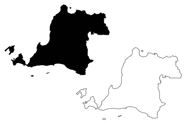
Banten (Subdivisions of Indonesia, Provinces of Indonesia) map vector illustration, scribble sketch Banten - Java - map
Banten Subdivisions Indonesia Provinces Indonesia Map Vector Illustration Scribble Sketch — Stock Vector
Ilheus municipality (Bahia state, Municipalities of Brazil, Federative Republic of Brazil) map vector illustration, scribble sketch map
Ilheus Municipality Bahia State Municipalities Brazil Federative Republic Brazil Map — Stock Vector
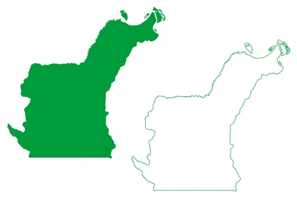
Jurua municipality (Amazonas state, Municipalities of Brazil, Federative Republic of Brazil) map vector illustration, scribble sketch Jurua map
Jurua Municipality Amazonas State Municipalities Brazil Federative Republic Brazil Map — Stock Vector
Chagang Province (Democratic Peoples Republic of Korea, DPRK, DPR Korea, Provinces of North Korea) map vector illustration, scribble sketch Chagangdo map
Chagang Province map vecto — Stock Vector
San Buenaventura municipality (Free and Sovereign State of Coahuila de Zaragoza, Mexico, United Mexican States) map vector illustration, scribble sketch San Buenaventura map
San Buenaventura Municipality Free Sovereign State Coahuila Zaragoza Mexico United — Stock Vector
Rio Novo do Sul municipality (Espirito Santo state, Municipalities of Brazil, Federative Republic of Brazil) map vector illustration, scribble sketch map
Rio Novo Sul Municipality Espirito Santo State Municipalities Brazil Federative — Stock Vector
Fundao municipality (Espirito Santo state, Municipalities of Brazil, Federative Republic of Brazil) map vector illustration, scribble sketch Fundao map
Fundao Municipality Espirito Santo State Municipalities Brazil Federative Republic Brazil — Stock Vector
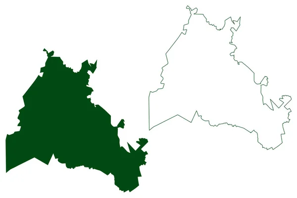
Maiquinique municipality (Bahia state, Municipalities of Brazil, Federative Republic of Brazil) map vector illustration, scribble sketch Maiquinique map
Maiquinique Municipality Bahia State Municipalities Brazil Federative Republic Brazil Map — Stock Vector
Saganthit or Sellore Island (Republic of the Union of Myanmar, Burma, Mergui, Myeik Archipelago, Indian Ocean) map vector illustration, scribble sketch Saganthit Kyun map
Saganthit Sellore Island Republic Union Myanmar Burma Mergui Myeik Archipelago — Stock Vector
Villa de Alvarez municipality (Free and Sovereign State of Colima, Mexico, United Mexican States) map vector illustration, scribble sketch map
Villa Alvarez Municipality Free Sovereign State Colima Mexico United Mexican — Stock Vector

Usage Information

You can use this royalty-free vector image "Salvador municipality (Bahia state, Municipalities of Brazil, Federative Republic of Brazil) map vector illustration, scribble sketch Sao Salvador da Bahia de Todos os Santos map" for personal and commercial purposes according to the Standard or Extended License. The Standard License covers most use cases, including advertising, UI designs, and product packaging, and allows up to 500,000 print copies. The Extended License permits all use cases under the Standard License with unlimited print rights and allows you to use the downloaded vector files for merchandise, product resale, or free distribution.

This stock vector image is scalable to any size. You can buy and download it in high resolution up to 7087x4726. Upload Date: Dec 9, 2021