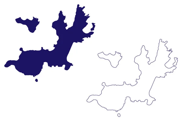
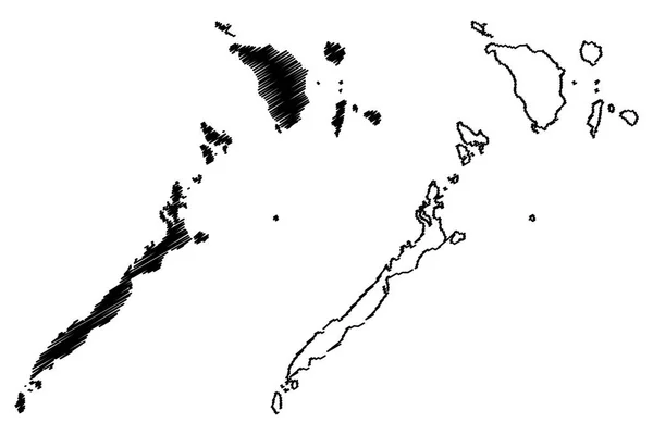
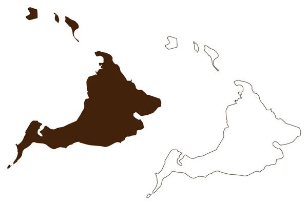
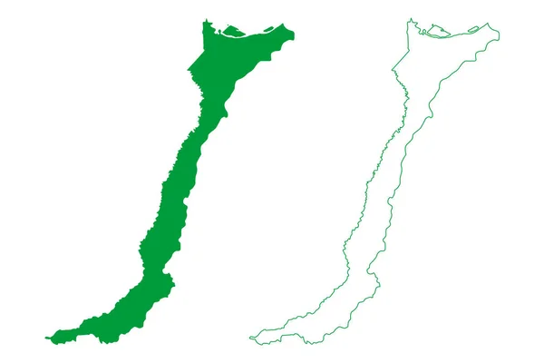
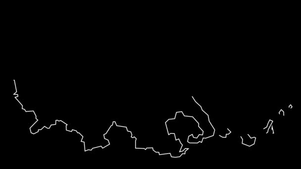
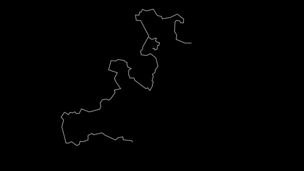
Province Las Palmas Kingdom Spain Canary Islands Map Vector Illustration — Stock Vector

Province of Las Palmas (Kingdom of Spain, Canary Islands) map vector illustration, scribble sketch Gran Canaria, Fuerteventura, and Lanzarote map — Vector

Province of Las Palmas (Kingdom of Spain, Canary Islands) map vector illustration, scribble sketch Gran Canaria, Fuerteventura, and Lanzarote map

 — Vector by Danler

Same Series:

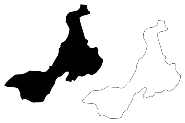
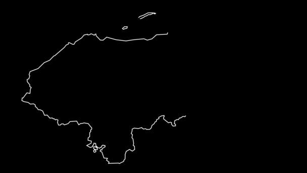
Quetzaltenango Department (Republic of Guatemala, Departments of Guatemala) map vector illustration, scribble sketch Quetzaltenango map
Quetzaltenango Department (Republic of Guatemala, Departments of Guatemala) map vector illustration, scribble sketch Quetzaltenango ma — Stock Vector
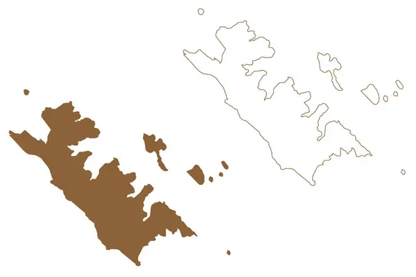
Bathurst island (Western Australia, Commonwealth of Australia, Buccaneer Archipelago, Indian Ocean) map vector illustration, scribble sketch Bathurst map
Bathurst Island Western Australia Commonwealth Australia Buccaneer Archipelago Indian Ocean — Stock Vector
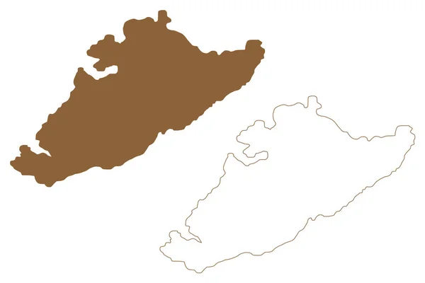
Shag island (South Australia, Commonwealth of Australia, Indian Ocean) map vector illustration, scribble sketch Shag map
Shag Island South Australia Commonwealth Australia Indian Ocean Map Vector — Stock Vector
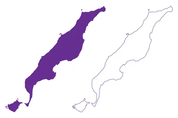
Iheya-jima island (Japan, East Asia, Japanese archipelago) map vector illustration, scribble sketch Iheyajima map
Iheya Jima Island Japan East Asia Japanese Archipelago Map Vector — Stock Vector
Terre-de-Haut island (Guadeloupe Overseas department and region of France, Cenrtal America, Caribbean islands) map vector illustration, scribble sketch Terre de Haut des Saintes map
Terre Haut Island Guadeloupe Overseas Department Region France Cenrtal America — Stock Vector
Alonnisos island (Hellenic Republic, Greece, Greek island, Aegean Sea) map vector illustration, scribble sketch Alonissos map
Alonnisos Island Hellenic Republic Greece Greek Island Aegean Sea Map — Stock Vector
Mimaropa Region (Regions and provinces of the Philippines, Republic of the Philippines) map vector illustration, scribble sketch Southern Tagalog Mainland map
Mimaropa Region Regions Provinces Philippines Republic Philippines Map Vector Illustration — Stock Vector
Rambutyo island (New Guinea, Pacific Ocean, Bismarck Archipelago, Admiralty Islands) map vector illustration, scribble sketch Rambutyo, Bundro and Patuam map
Rambutyo Island New Guinea Pacific Ocean Bismarck Archipelago Admiralty Islands — Stock Vector
Fernando de Noronha island (Federative Republic of Brazil, South and Latin America) map vector illustration, scribble sketch Ilha Rata map
Fernando Noronha Island Federative Republic Brazil South Latin America Map — Stock Vector
West Coast Region (Regions of New Zealand, South Island) map vector illustration, scribble sketch West Coast map
West Coast Region (Regions of New Zealand, South Island) map vector illustration, scribble sketch West Coast ma — Stock Vector
Shimokoshiki-jima island (Japan, East Asia, Japanese archipelago, Koshikijima Islands) map vector illustration, scribble sketch Shimokoshiki jima or Shimokoshikijima map
Shimokoshiki Jima Island Japan East Asia Japanese Archipelago Koshikijima Islands — Stock Vector
West Coast Region (Regions of New Zealand, South Island) map vector illustration, scribble sketch West Coast map
West Coast Region (Regions of New Zealand, South Island) map vector illustration, scribble sketch West Coast ma — Stock Vector
Benjamin Constant municipality (Amazonas state, Municipalities of Brazil, Federative Republic of Brazil) map vector illustration, scribble sketch Benjamin Constant map
Benjamin Constant Municipality Amazonas State Municipalities Brazil Federative Republic Brazil — Stock Vector
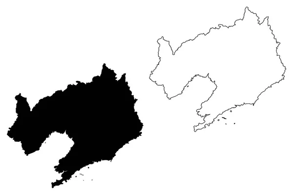
Liaoning Province (Administrative divisions of China, China, People's Republic of China, PRC) map vector illustration, scribble sketch Fengtian or Fengtien (Mukden) map
Liaoning Province Administrative Divisions China China People Republic China Prc — Stock Vector
Tashkent Region (Republic of Uzbekistan, Regions of Uzbekistan) map vector illustration, scribble sketch Tashkent map
Tashkent Region map vecto — Stock Vector

Usage Information

You can use this royalty-free vector image "Province of Las Palmas (Kingdom of Spain, Canary Islands) map vector illustration, scribble sketch Gran Canaria, Fuerteventura, and Lanzarote map" for personal and commercial purposes according to the Standard or Extended License. The Standard License covers most use cases, including advertising, UI designs, and product packaging, and allows up to 500,000 print copies. The Extended License permits all use cases under the Standard License with unlimited print rights and allows you to use the downloaded vector files for merchandise, product resale, or free distribution.

This stock vector image is scalable to any size. You can buy and download it in high resolution up to 7087x4726. Upload Date: Jun 16, 2021