Isometric political map of Eurasia — Stock Vector

Isometric political map of Eurasia — Vector

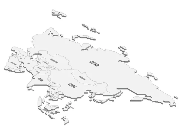
Isometric political map of Eurasia. Grey land with country name labels on blue sea and ocean background. 3D vector illustration

 — Vector by pyty

Same Series:

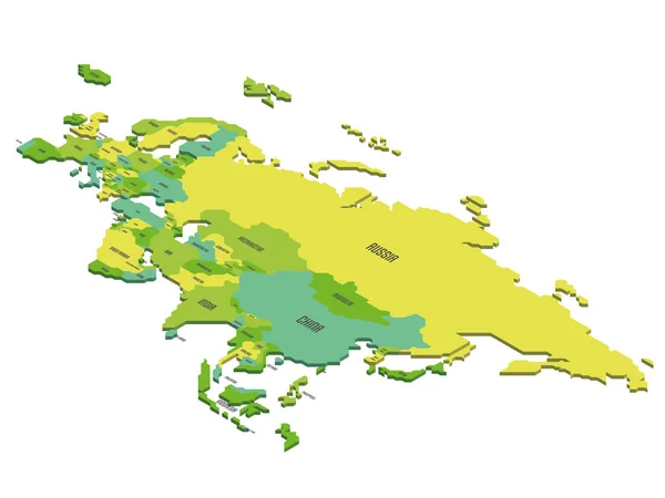
Isometric political map of Eurasia. Colorful land with country name labels on white background. 3D vector illustration
Isometric political map of Eurasia — Stock Vector
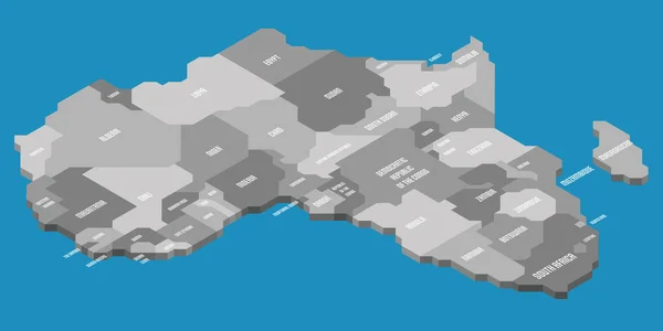
Isometric political map of Africa. Grey land with country name labels on blue sea and ocean background. 3D vector illustration
Isometric political map of Africa — Stock Vector
Isometric map of World. Gray land silhouette on white background. 3D vector illustration
Isometric blank map of World — Stock Vector
Isometric political map of Americas. Light grey blank political map of countries on white background. 3D vector illustration
Isometric political map of Americas — Stock Vector
Isometric political map of Eurasia. Light grey blank political map of countries on white background. 3D vector illustration
Isometric political map of Eurasia — Stock Vector
Grenada country silhouette. High detailed map. White country silhouette with dropped long shadow on beige background.
Grenada Country Silhouette High Detailed Map White Country Silhouette Dropped — Stock Vector
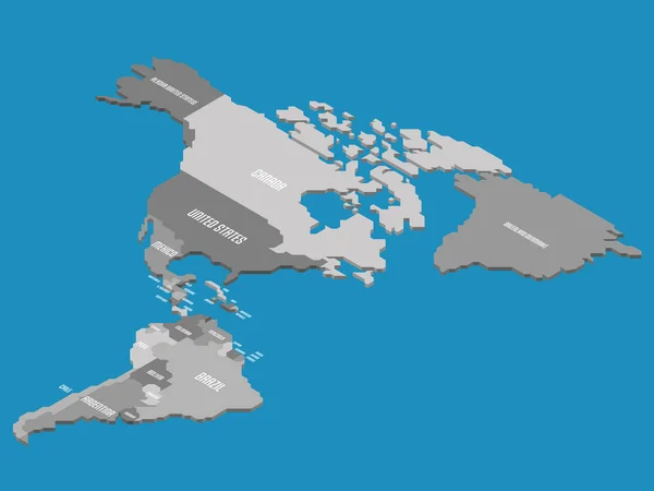
Isometric political map of Americas. Colorful land with country name labels on white background. 3D vector illustration
Isometric political map of Americas — Stock Vector
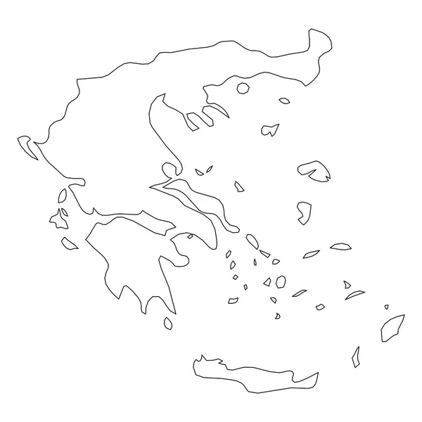
Greece - solid black outline border map of country area. Simple flat vector illustration.
Greece - solid black outline border map of country area. Simple flat vector illustration — Stock Vector
Falklands silhouette. High detailed map. Solid grey vector illustration isolated on white background.
Falklands Silhouette High Detailed Map Solid Grey Vector Illustration Isolated — Stock Vector
Saint Vincent and the Grenadines country thin black outline. High detailed map. Vector illustration isolated on white background.
Saint Vincent Grenadines Country Thin Black Outline High Detailed Map — Stock Vector
New Zealand country thin black outline. High detailed map. Vector illustration isolated on white background.
New Zealand Country Thin Black Outline High Detailed Map Vector — Stock Vector
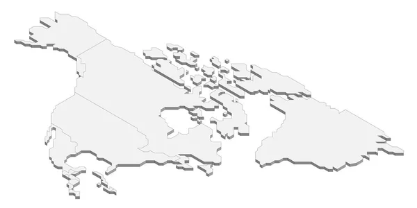
Isometric political map of North America. Light grey blank political map of countries on white background. 3D vector illustration
Isometric political map of North America — Stock Vector
Isometric political map of Asia. Light grey blank political map of countries on white background. 3D vector illustration
Isometric political map of Asia — Stock Vector
Svalbard, aka Spitzbergen, silhouette. High detailed map. White country silhouette with dropped long shadow on beige background.
Svalbard Aka Spitzbergen Silhouette High Detailed Map White Country Silhouette — Stock Vector
Isometric political map of Asia. Light grey blank political map of countries on white background. 3D vector illustration
Isometric political map of Asia — Stock Vector
Bahamas country silhouette. High detailed map. Solid grey vector illustration isolated on white background.
Bahamas vector country map silhouette — Stock Vector

Similar Stock Videos:

4k animated Germany map intro background with new administrative regions appearing. Germany Map Showing Up Intro With New Regions.
Germany Map Showing Up Intro With New Regions. 4k animated Germany map intro background with new administrative regions — Stock Video
Animation of the map of South America continent
Animation of the map of South america — Stock Video
3d animation of Europe map formed by individual countries
3d animation of Europe map formed by individual countries — Stock Video
Animated cartography with bokeh in background showing the United Kingdom being erased from the European Union map
Animated cartography with bokeh in background showing the United Kingdom — Stock Video
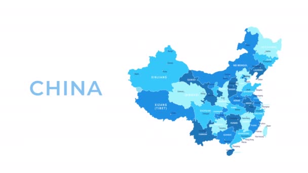
China map showing up intro by regions. Motion graphics design
China map showing up intro by regions — Stock Video
Animation of the map of East Asia region
Animation of the map of East Asia — Stock Video
Russia Map Intro By Regions/ 4k animated russia map intro background with countries appearing and fading one by one and camera movement
Russia Map Intro Regions Animated Russia Map Intro Background Countries — Stock Video
United Kingdom map highlighted in UK flag colors and pin of country capital London, map with neighboring European countries.
United Kingdom Map Highlighted Flag Colors Pin Country Capital London — Stock Video
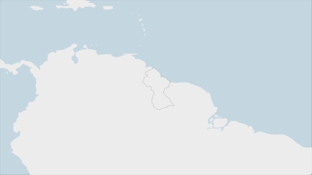
Guyana map highlighted in Guyana flag colors and pin of country capital Georgetown, map with neighboring American countries.
Guyana Map Highlighted Guyana Flag Colors Pin Country Capital Georgetown — Stock Video
Turkey map icon isolated on background. 4K Video motion graphic animation
Turkey map icon isolated on background. 4K Video motion graphic animation. — Stock Video
Azerbaijan map conveying the modern digital age and its emphasis on global connectivity among people
Azerbaijan map conveying the modern digital age and its emphasis on global connectivity — Stock Video
China map icon isolated on background. 4K Video motion graphic animation
China map icon isolated on background. 4K Video motion graphic animation. — Stock Video
3d animation of australia map
3d animation of australia map — Stock Video
India Country Map Showing Up Intro By Regions/ 4k animated india map intro background with countries appearing and fading one by one and camera movement
India Country Map Showing Intro Regions Animated India Map Intro — Stock Video
China Map - Motion Graphic Cartoon Animation Footage. 4K Resolution Video. Transparency Alpha Channel Included. White Background
China Map Motion Graphic Cartoon Animation Footage Resolution Video Transparency — Stock Video
Vintage map showing UK, United Kingdom, Great Britain in England.
Vintage map showing UK, United Kingdom — Stock Video
Switzerland map icon isolated on background. 4K Video motion graphic animation
Switzerland map icon isolated on background. 4K Video motion graphic animation. — Stock Video
3D animation simulating the Ebola Virus Spreading to Europe from the African outbreak countries
Ebola Virus Spreading to Europe — Stock Video

Usage Information

You can use this royalty-free vector image "Isometric political map of Eurasia" for personal and commercial purposes according to the Standard or Extended License. The Standard License covers most use cases, including advertising, UI designs, and product packaging, and allows up to 500,000 print copies. The Extended License permits all use cases under the Standard License with unlimited print rights and allows you to use the downloaded vector files for merchandise, product resale, or free distribution.

This stock vector image is scalable to any size. You can buy and download it in high resolution up to 8000x6000. Upload Date: Sep 17, 2021