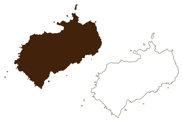
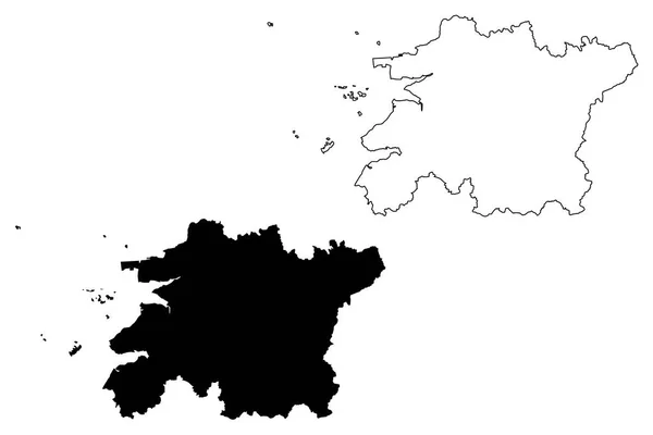
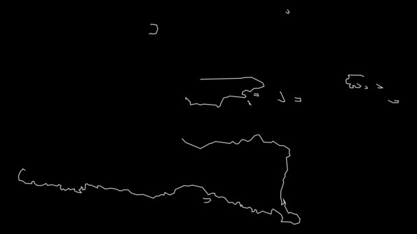
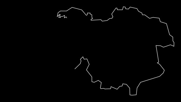
Eastern Tobago region (Regional corporations and municipalities, Republic of Trinidad and Tobago) map vector illustration, scribble sketch Eastern Tobago (Little Tobago, Goat, Giles Island) map — Stock Vector

Eastern Tobago region (Regional corporations and municipalities, Republic of Trinidad and Tobago) map vector illustration, scribble sketch Eastern Tobago (Little Tobago, Goat, Giles Island) map — Vector

Eastern Tobago region (Regional corporations and municipalities, Republic of Trinidad and Tobago) map vector illustration, scribble sketch Eastern Tobago (Little Tobago, Goat, Giles Island) map

 — Vector by Danler

Same Series:

Cocos island (Republic of Costa Rica, Pacific Ocean, Central America) map vector illustration, scribble sketch Isla del Coco map
Cocos Island Republic Costa Rica Pacific Ocean Central America Map — Stock Vector
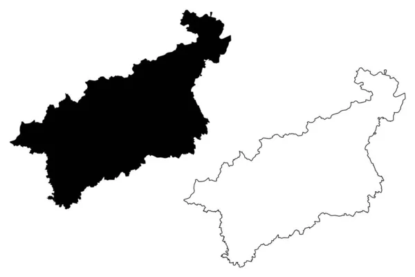
Usti nad Labem Region (Bohemian lands, Czechia, Regions of the Czech Republic) map vector illustration, scribble sketch Usti nad Labem (Ustecky Region) map
Usti nad Labem Region (Bohemian lands, Czechia, Regions of the Czech Republic) map vector illustration, scribble sketch Usti nad Labem (Ustecky Region) map — Stock Vector
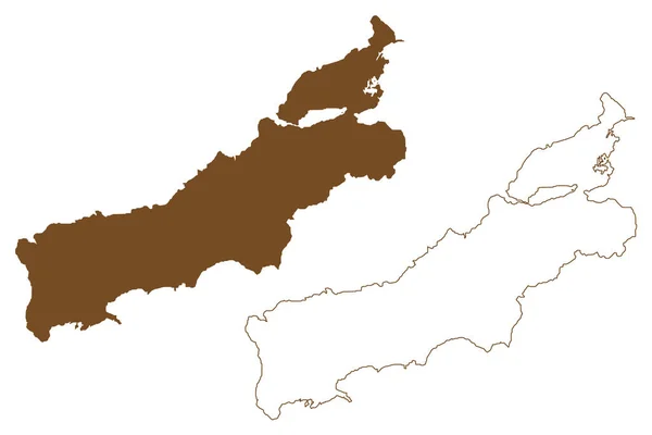
East New Britain Province (Independent State of Papua New Guinea, PNG, Provinces) map vector illustration, scribble sketch island of New Britain and the Duke of York Islands map
East New Britain Province (Independent State of Papua New Guinea, PNG, Provinces) map vector illustration, scribble sketch island of New Britain and the Duke of York Islands ma — Stock Vector
Rote island (Republic of Indonesia, South East Asia, East Nusa Tenggara) map vector illustration, scribble sketch Rote map
Rote Island Republic Indonesia South East Asia East Nusa Tenggara — Stock Vector
North Korea map vector illustration, scribble sketch Democratic People's Republic of Korea
North Korea map vector — Stock Vector
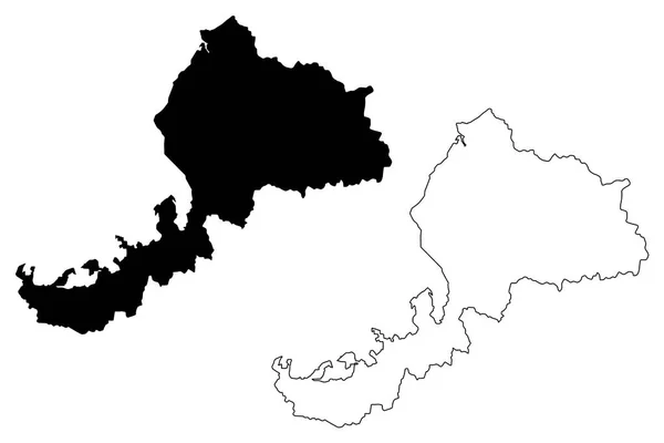
Fukui Prefecture (Administrative divisions of Japan, Prefectures of Japan) map vector illustration, scribble sketch Fukui map
Fukui Prefecture Administrative Divisions Japan Prefectures Japan Map Vector Illustration — Stock Vector
North Jeolla Province (South Korea, Republic of Korea, ROK, Provinces of South Korea) map vector illustration, scribble sketch Jeollabuk-do map
North Jeolla Province South Korea Republic Korea Rok Provinces South — Stock Vector
Whalsay island (United Kingdom of Great Britain and Northern Ireland, Scotland) map vector illustration, scribble sketch Isle of Whale map
Whalsay Island United Kingdom Great Britain Northern Ireland Scotland Map — Stock Vector
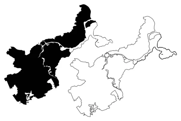
Lubeck City (Federal Republic of Germany, Schleswig-Holstein) map vector illustration, scribble sketch Hanseatic City of Lubeck map
Lubeck City Federal Republic Germany Schleswig Holstein Map Vector Illustration — Stock Vector
Shantou City (People's Republic of China, Guangdong Province) map vector illustration, scribble sketch City of Swatow, Shantow or Santow map
Shantou City People Republic China Guangdong Province Map Vector Illustration — Stock Vector
Tuzi Municipality (Montenegro, Municipalities of Montenegro) map vector illustration, scribble sketch Tuzi map
Tuzi Municipality Montenegro Municipalities Montenegro Map Vector Illustration Scribble Sketch — Stock Vector
Adana (Provinces of the Republic of Turkey) map vector illustration, scribble sketch Adana ili map
Adana Provinces Republic Turkey Map Vector Illustration Scribble Sketch Adana — Stock Vector
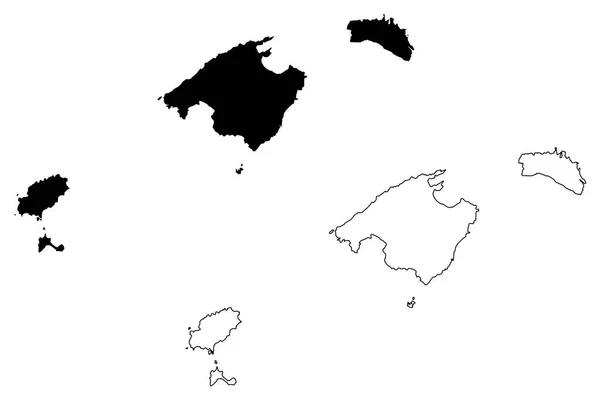
Balearic Islands (Kingdom of Spain, Autonomous community) map vector illustration, scribble sketch Mallorca, Menorca, Ibiza and Formentera map
Balearic Islands Kingdom Spain Autonomous Community Map Vector Illustration Scribble — Stock Vector
Nantou County (Administrative divisions of Taiwan, Republic of China, ROC, Counties) map vector illustration, scribble sketch Nantou map
Nantou County map vecto — Stock Vector
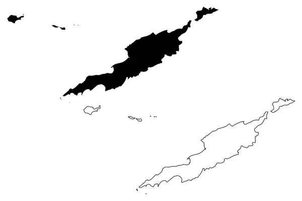
Anguilla map vector illustration, scribble sketch Anguilla Islands
Anguilla map vector — Stock Vector
Uttaradit Province (Kingdom of Thailand, Siam, Provinces of Thailand) map vector illustration, scribble sketch Uttaradit map
Uttaradit Province Kingdom Thailand Siam Provinces Thailand Map Vector Illustration — Stock Vector

Usage Information

You can use this royalty-free vector image "Eastern Tobago region (Regional corporations and municipalities, Republic of Trinidad and Tobago) map vector illustration, scribble sketch Eastern Tobago (Little Tobago, Goat, Giles Island) map" for personal and commercial purposes according to the Standard or Extended License. The Standard License covers most use cases, including advertising, UI designs, and product packaging, and allows up to 500,000 print copies. The Extended License permits all use cases under the Standard License with unlimited print rights and allows you to use the downloaded vector files for merchandise, product resale, or free distribution.

This stock vector image is scalable to any size. You can buy and download it in high resolution up to 7087x4726. Upload Date: Jan 13, 2020