Frame mockup, Poster mock-up, Product Mockups, Canvas Mockup, Presentation art work, scandinavian style
Frame mockup, Poster mock-up, Product Mockups, Canvas Mockup, Presentation art work, scandinavian style — Stock Photo, Image
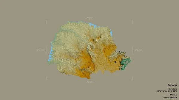
Area of Parana, state of Brazil, isolated on a solid background in a georeferenced bounding box. Labels. Topographic relief map. 3D rendering
Area Parana State Brazil Isolated Solid Background Georeferenced Bounding Box — Stock Photo, Image
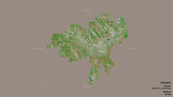
Area of Causeni, district of Moldova, isolated on a solid background in a georeferenced bounding box. Labels. Satellite imagery. 3D rendering
Area Causeni District Moldova Isolated Solid Background Georeferenced Bounding Box — Stock Photo, Image
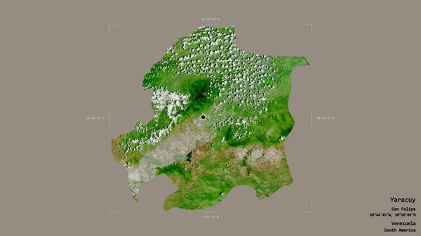
Area of Yaracuy, state of Venezuela, isolated on a solid background in a georeferenced bounding box. Labels. Satellite imagery. 3D rendering
Area Yaracuy State Venezuela Isolated Solid Background Georeferenced Bounding Box — Stock Photo, Image
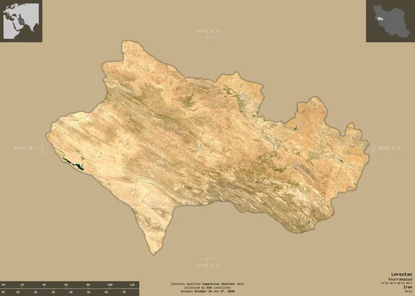
Lorestan, province of Iran. Sentinel-2 satellite imagery. Shape isolated on solid background with informative overlays. Contains modified Copernicus Sentinel data
Lorestan Province Iran Sentinel Satellite Imagery Shape Isolated Solid Background — Stock Photo, Image
Shape of Maritime, region of Togo, with its capital isolated on a solid color background. Topographic relief map. 3D rendering
Shape Maritime Region Togo Its Capital Isolated Solid Color Background — Stock Photo, Image
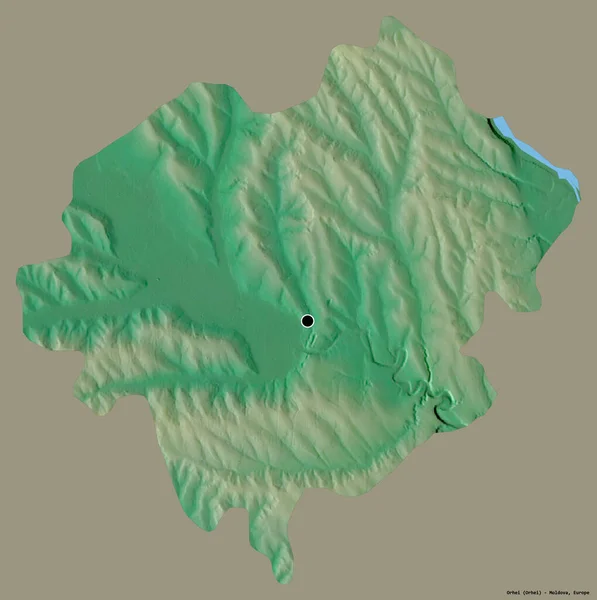
Shape of Orhei, district of Moldova, with its capital isolated on a solid color background. Topographic relief map. 3D rendering
Shape Orhei District Moldova Its Capital Isolated Solid Color Background — Stock Photo, Image
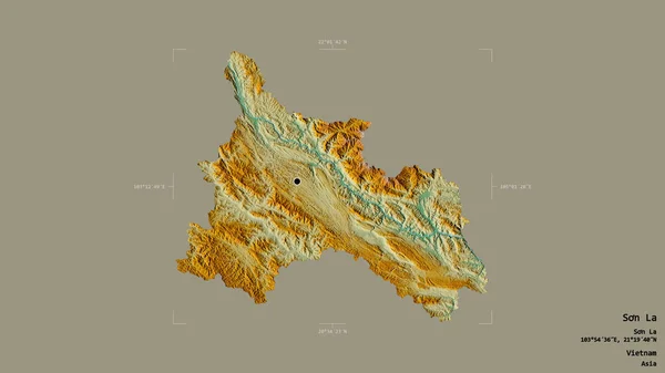
Area of Son La, province of Vietnam, isolated on a solid background in a georeferenced bounding box. Labels. Topographic relief map. 3D rendering
Area Son Province Vietnam Isolated Solid Background Georeferenced Bounding Box — Stock Photo, Image
Area of Dzavhan, province of Mongolia, isolated on a solid background in a georeferenced bounding box. Labels. Topographic relief map. 3D rendering
Area Dzavhan Province Mongolia Isolated Solid Background Georeferenced Bounding Box — Stock Photo, Image
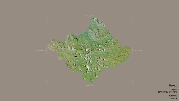
Area of Ngozi, province of Burundi, isolated on a solid background in a georeferenced bounding box. Labels. Satellite imagery. 3D rendering
Area Ngozi Province Burundi Isolated Solid Background Georeferenced Bounding Box — Stock Photo, Image
Shape of Umujyi wa Kigali, province of Rwanda, with its capital isolated on solid background. Distance scale, region preview and labels. Satellite imagery. 3D rendering
Shape Umujyi Kigali Province Rwanda Its Capital Isolated Solid Background — Stock Photo, Image
Shape of Magway, division of Myanmar, with its capital isolated on a solid color background. Topographic relief map. 3D rendering
Shape Magway Division Myanmar Its Capital Isolated Solid Color Background — Stock Photo, Image
Area of Tolna, county of Hungary, isolated on a solid background in a georeferenced bounding box. Labels. Bilevel elevation map. 3D rendering
Area Tolna County Hungary Isolated Solid Background Georeferenced Bounding Box — Stock Photo, Image
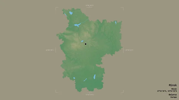
Area of Minsk, region of Belarus, isolated on a solid background in a georeferenced bounding box. Labels. Topographic relief map. 3D rendering
Area Minsk Region Belarus Isolated Solid Background Georeferenced Bounding Box — Stock Photo, Image
Area of Rayong, province of Thailand, isolated on a solid background in a georeferenced bounding box. Labels. Topographic relief map. 3D rendering
Area Rayong Province Thailand Isolated Solid Background Georeferenced Bounding Box — Stock Photo, Image
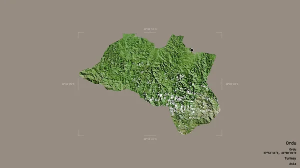
Area of Ordu, province of Turkey, isolated on a solid background in a georeferenced bounding box. Labels. Satellite imagery. 3D rendering
Area Ordu Province Turkey Isolated Solid Background Georeferenced Bounding Box — Stock Photo, Image
Area of Borgou, department of Benin, isolated on a solid background in a georeferenced bounding box. Labels. Topographic relief map. 3D rendering
Area Borgou Department Benin Isolated Solid Background Georeferenced Bounding Box — Stock Photo, Image
Shape of Pehcevo, municipality of Macedonia, with its capital isolated on a solid color background. Topographic relief map. 3D rendering
Shape Pehcevo Municipality Macedonia Its Capital Isolated Solid Color Background — Stock Photo, Image
Area of Mila, province of Algeria, isolated on a solid background in a georeferenced bounding box. Labels. Topographic relief map. 3D rendering
Area Mila Province Algeria Isolated Solid Background Georeferenced Bounding Box — Stock Photo, Image
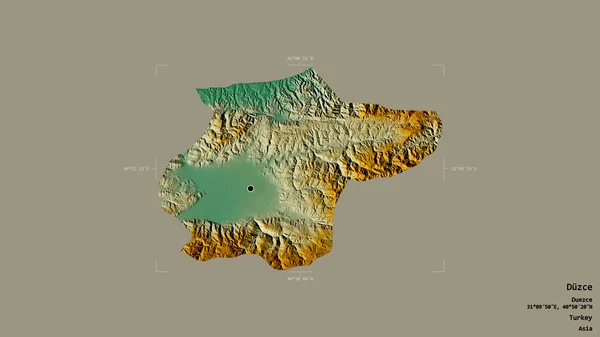
Area of Duzce, province of Turkey, isolated on a solid background in a georeferenced bounding box. Labels. Topographic relief map. 3D rendering
Area Duzce Province Turkey Isolated Solid Background Georeferenced Bounding Box — Stock Photo, Image
Shape of Kampot, province of Cambodia, with its capital isolated on solid background. Distance scale, region preview and labels. Colored elevation map. 3D rendering
Shape Kampot Province Cambodia Its Capital Isolated Solid Background Distance — Stock Photo, Image
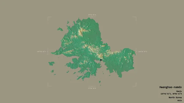
Area of Hwanghae-namdo, province of North Korea, isolated on a solid background in a georeferenced bounding box. Labels. Topographic relief map. 3D rendering
Area Hwanghae Namdo Province North Korea Isolated Solid Background Georeferenced — Stock Photo, Image
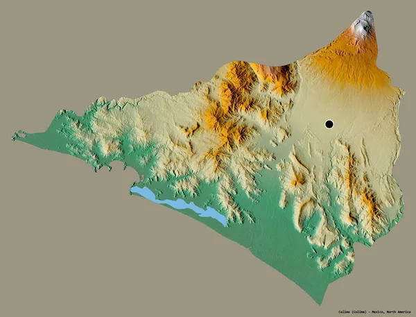
Shape of Colima, state of Mexico, with its capital isolated on a solid color background. Topographic relief map. 3D rendering
Shape Colima State Mexico Its Capital Isolated Solid Color Background — Stock Photo, Image
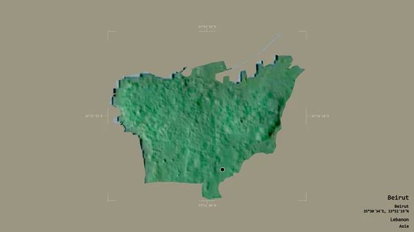
Area of Beirut, governorate of Lebanon, isolated on a solid background in a georeferenced bounding box. Labels. Topographic relief map. 3D rendering
Area Beirut Governorate Lebanon Isolated Solid Background Georeferenced Bounding Box — Stock Photo, Image
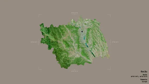
Area of Bacau, county of Romania, isolated on a solid background in a georeferenced bounding box. Labels. Satellite imagery. 3D rendering
Area Bacau County Romania Isolated Solid Background Georeferenced Bounding Box — Stock Photo, Image
Area of Madriz, department of Nicaragua, isolated on a solid background in a georeferenced bounding box. Labels. Colored elevation map. 3D rendering
Area Madriz Department Nicaragua Isolated Solid Background Georeferenced Bounding Box — Stock Photo, Image
Area of Guantanamo, province of Cuba, isolated on a solid background in a georeferenced bounding box. Labels. Topographic relief map. 3D rendering
Area Guantanamo Province Cuba Isolated Solid Background Georeferenced Bounding Box — Stock Photo, Image
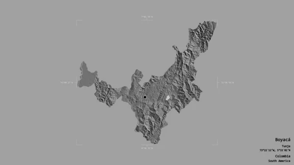
Area of Boyaca, department of Colombia, isolated on a solid background in a georeferenced bounding box. Labels. Bilevel elevation map. 3D rendering
Area Boyaca Department Colombia Isolated Solid Background Georeferenced Bounding Box — Stock Photo, Image
Area of Brazzaville, region of Republic of Congo, isolated on a solid background in a georeferenced bounding box. Labels. Topographic relief map. 3D rendering
Area Brazzaville Region Republic Congo Isolated Solid Background Georeferenced Bounding — Stock Photo, Image
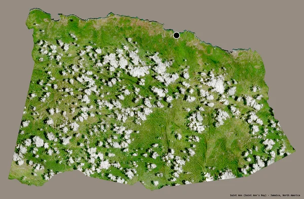
Shape of Saint Ann, parish of Jamaica, with its capital isolated on a solid color background. Satellite imagery. 3D rendering
Shape Saint Ann Parish Jamaica Its Capital Isolated Solid Color — Stock Photo, Image
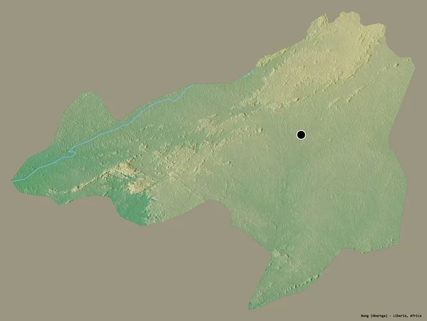
Shape of Bong, county of Liberia, with its capital isolated on a solid color background. Topographic relief map. 3D rendering
Shape Bong County Liberia Its Capital Isolated Solid Color Background — Stock Photo, Image
Area of Epirus, decentralized administration of Greece, isolated on a solid background in a georeferenced bounding box. Labels. Topographic relief map. 3D rendering
Area Epirus Decentralized Administration Greece Isolated Solid Background Georeferenced Bounding — Stock Photo, Image
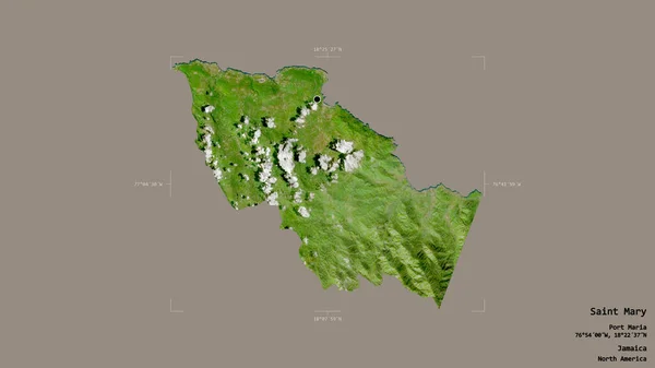
Area of Saint Mary, parish of Jamaica, isolated on a solid background in a georeferenced bounding box. Labels. Satellite imagery. 3D rendering
Area Saint Mary Parish Jamaica Isolated Solid Background Georeferenced Bounding — Stock Photo, Image
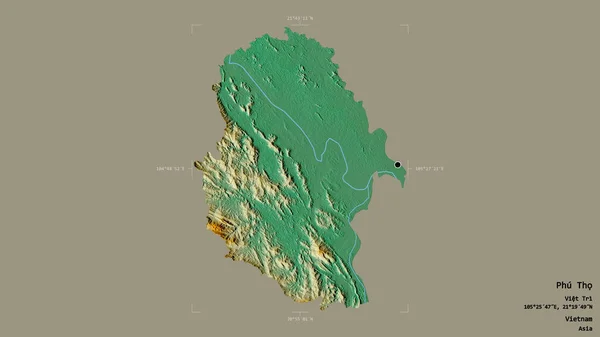
Area of Phu Tho, province of Vietnam, isolated on a solid background in a georeferenced bounding box. Labels. Topographic relief map. 3D rendering
Area Phu Tho Province Vietnam Isolated Solid Background Georeferenced Bounding — Stock Photo, Image
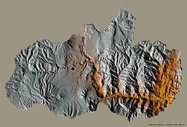
Shape of Tungurahua, province of Ecuador, with its capital isolated on a solid color background. Topographic relief map. 3D rendering
Shape Tungurahua Province Ecuador Its Capital Isolated Solid Color Background — Stock Photo, Image
Shape of Tirane, county of Albania, and its capital. Distance scale, previews and labels. Colored elevation map. 3D rendering
Shape Tirane County Albania Its Capital Distance Scale Previews Labels — Stock Photo, Image
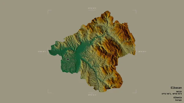
Area of Elbasan, county of Albania, isolated on a solid background in a georeferenced bounding box. Labels. Topographic relief map. 3D rendering
Area Elbasan County Albania Isolated Solid Background Georeferenced Bounding Box — Stock Photo, Image
Area of Monsenor Nouel, province of Dominican Republic, isolated on a solid background in a georeferenced bounding box. Labels. Colored elevation map. 3D rendering
Area Monsenor Nouel Province Dominican Republic Isolated Solid Background Georeferenced — Stock Photo, Image
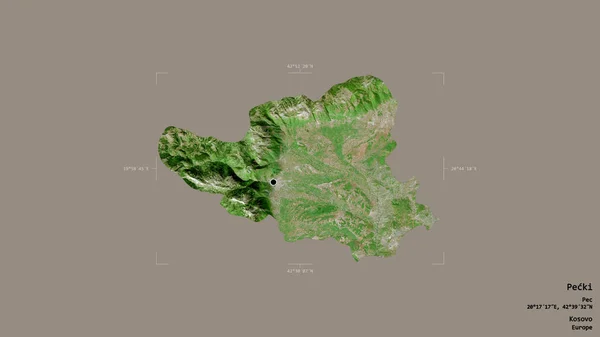
Area of Pecki, district of Kosovo, isolated on a solid background in a georeferenced bounding box. Labels. Satellite imagery. 3D rendering
Area Pecki District Kosovo Isolated Solid Background Georeferenced Bounding Box — Stock Photo, Image
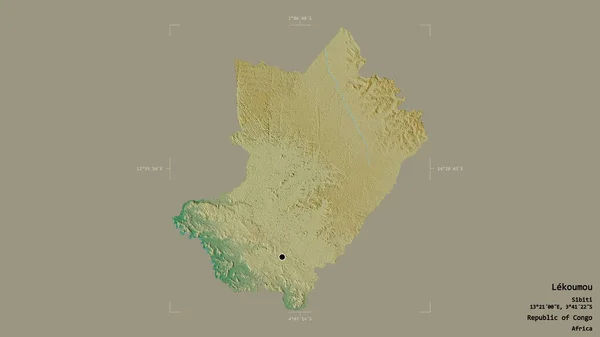
Area of Lekoumou, region of Republic of Congo, isolated on a solid background in a georeferenced bounding box. Labels. Topographic relief map. 3D rendering
Area Lekoumou Region Republic Congo Isolated Solid Background Georeferenced Bounding — Stock Photo, Image
Area of Jihomoravsky, region of Czech Republic, isolated on a solid background in a georeferenced bounding box. Labels. Topographic relief map. 3D rendering
Area Jihomoravsky Region Czech Republic Isolated Solid Background Georeferenced Bounding — Stock Photo, Image
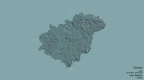
Area of Zlinsky, region of Czech Republic, isolated on a solid background in a georeferenced bounding box. Labels. Colored elevation map. 3D rendering
Area Zlinsky Region Czech Republic Isolated Solid Background Georeferenced Bounding — Stock Photo, Image
Shape of Gwangju, metropolitan city of South Korea, with its capital isolated on solid background. Distance scale, region preview and labels. Satellite imagery. 3D rendering
Shape Gwangju Metropolitan City South Korea Its Capital Isolated Solid — Stock Photo, Image
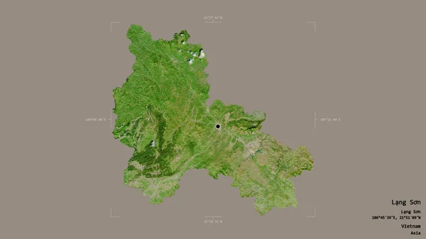
Area of Lang Son, province of Vietnam, isolated on a solid background in a georeferenced bounding box. Labels. Satellite imagery. 3D rendering
Area Lang Son Province Vietnam Isolated Solid Background Georeferenced Bounding — Stock Photo, Image
Area of Coimbra, district of Portugal, isolated on a solid background in a georeferenced bounding box. Labels. Topographic relief map. 3D rendering
Area Coimbra District Portugal Isolated Solid Background Georeferenced Bounding Box — Stock Photo, Image
Shape of Gjirokaster, county of Albania, with its capital isolated on white background. Topographic relief map. 3D rendering
Shape Gjirokaster County Albania Its Capital Isolated White Background Topographic — Stock Photo, Image
Desaturated shape of Slovenia with its capital, main regional division and the separated Goriska area. Labels. Topographic relief map. 3D rendering
Desaturated Shape Slovenia Its Capital Main Regional Division Separated Goriska — Stock Photo, Image
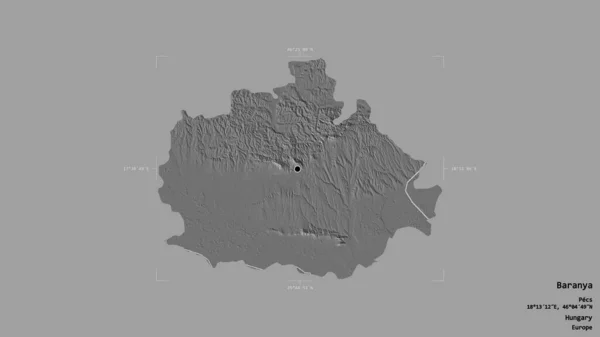
Area of Baranya, county of Hungary, isolated on a solid background in a georeferenced bounding box. Labels. Bilevel elevation map. 3D rendering
Area Baranya County Hungary Isolated Solid Background Georeferenced Bounding Box — Stock Photo, Image
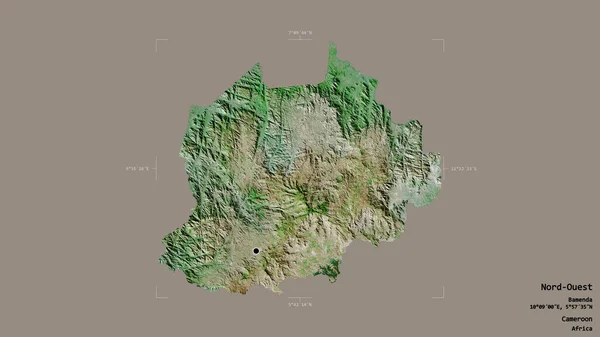
Area of Nord-Ouest, region of Cameroon, isolated on a solid background in a georeferenced bounding box. Labels. Satellite imagery. 3D rendering
Area Nord Ouest Region Cameroon Isolated Solid Background Georeferenced Bounding — Stock Photo, Image
Eastern, region of Ghana. Bilevel elevation map with lakes and rivers. Locations of major cities of the region. Corner auxiliary location maps
Eastern Region Ghana Bilevel Elevation Map Lakes Rivers Locations Major — Stock Photo, Image
Area of Westmoreland, parish of Jamaica, isolated on a solid background in a georeferenced bounding box. Labels. Bilevel elevation map. 3D rendering
Area Westmoreland Parish Jamaica Isolated Solid Background Georeferenced Bounding Box — Stock Photo, Image
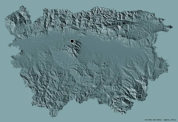
Shape of Ain Defla, province of Algeria, with its capital isolated on a solid color background. Colored elevation map. 3D rendering
Shape Ain Defla Province Algeria Its Capital Isolated Solid Color — Stock Photo, Image
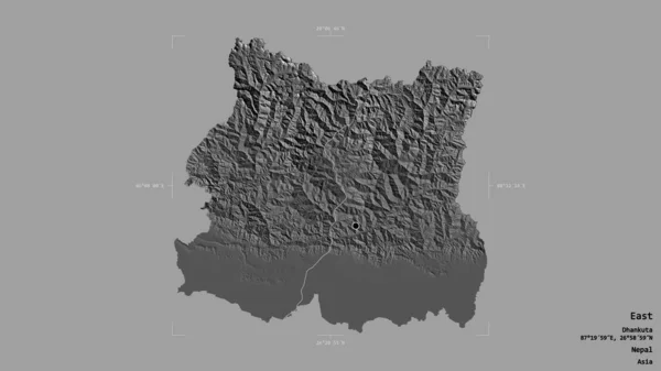
Area of East, development region of Nepal, isolated on a solid background in a georeferenced bounding box. Labels. Bilevel elevation map. 3D rendering
Area East Development Region Nepal Isolated Solid Background Georeferenced Bounding — Stock Photo, Image
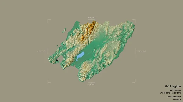
Area of Wellington, regional council of New Zealand, isolated on a solid background in a georeferenced bounding box. Labels. Topographic relief map. 3D rendering
Area Wellington Regional Council New Zealand Isolated Solid Background Georeferenced — Stock Photo, Image
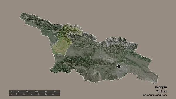
Desaturated shape of Georgia with its capital, main regional division and the separated Samegrelo-Zemo Svaneti area. Labels. Satellite imagery. 3D rendering
Desaturated Shape Georgia Its Capital Main Regional Division Separated Samegrelo — Stock Photo, Image
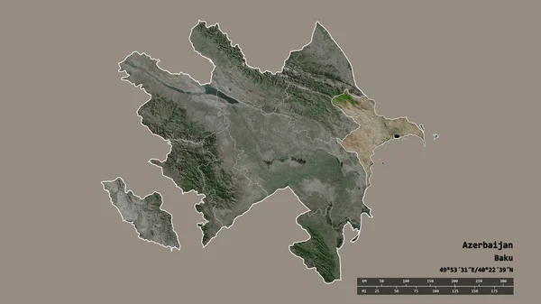
Desaturated shape of Azerbaijan with its capital, main regional division and the separated Absheron area. Labels. Satellite imagery. 3D rendering
Desaturated Shape Azerbaijan Its Capital Main Regional Division Separated Absheron — Stock Photo, Image
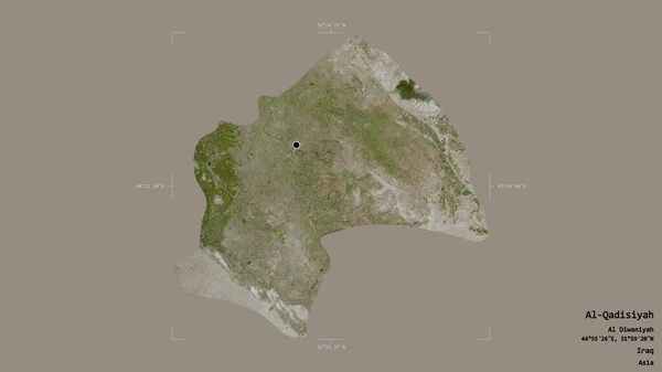
Area of Al-Qadisiyah, province of Iraq, isolated on a solid background in a georeferenced bounding box. Labels. Satellite imagery. 3D rendering
Area Qadisiyah Province Iraq Isolated Solid Background Georeferenced Bounding Box — Stock Photo, Image
Shape of Madre de Dios, region of Peru, with its capital isolated on a solid color background. Satellite imagery. 3D rendering
Shape Madre Dios Region Peru Its Capital Isolated Solid Color — Stock Photo, Image
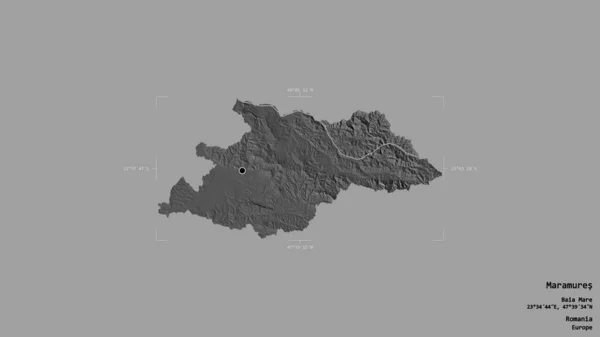
Area of Maramures, county of Romania, isolated on a solid background in a georeferenced bounding box. Labels. Bilevel elevation map. 3D rendering
Area Maramures County Romania Isolated Solid Background Georeferenced Bounding Box — Stock Photo, Image
Area of Halshreppur, region of Iceland, isolated on a solid background in a georeferenced bounding box. Labels. Colored elevation map. 3D rendering
Area Halshreppur Region Iceland Isolated Solid Background Georeferenced Bounding Box — Stock Photo, Image
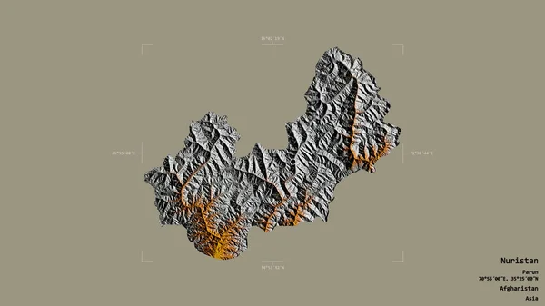
Area of Nuristan, province of Afghanistan, isolated on a solid background in a georeferenced bounding box. Labels. Topographic relief map. 3D rendering
Area Nuristan Province Afghanistan Isolated Solid Background Georeferenced Bounding Box — Stock Photo, Image
Area of Volta, region of Ghana, isolated on a solid background in a georeferenced bounding box. Labels. Topographic relief map. 3D rendering
Area Volta Region Ghana Isolated Solid Background Georeferenced Bounding Box — Stock Photo, Image
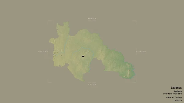
Area of Savanes, district of Cote d'Ivoire, isolated on a solid background in a georeferenced bounding box. Labels. Topographic relief map. 3D rendering
Area Savanes District Cote Ivoire Isolated Solid Background Georeferenced Bounding — Stock Photo, Image
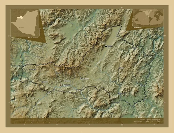
Nueva Segovia, department of Nicaragua. Colored elevation map with lakes and rivers. Locations and names of major cities of the region. Corner auxiliary location maps
Nueva Segovia Department Nicaragua Colored Elevation Map Lakes Rivers Locations — Stock Photo, Image
Area of Esmeraldas, province of Ecuador, isolated on a solid background in a georeferenced bounding box. Labels. Satellite imagery. 3D rendering
Area Esmeraldas Province Ecuador Isolated Solid Background Georeferenced Bounding Box — Stock Photo, Image
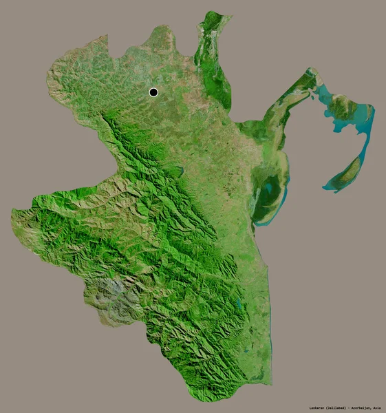
Shape of Lankaran, region of Azerbaijan, with its capital isolated on a solid color background. Satellite imagery. 3D rendering
Shape Lankaran Region Azerbaijan Its Capital Isolated Solid Color Background — Stock Photo, Image
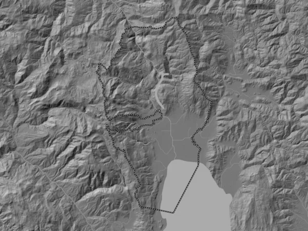
Struga, municipality of Macedonia. Bilevel elevation map with lakes and rivers
Struga Municipality Macedonia Bilevel Elevation Map Lakes Rivers — Stock Photo, Image
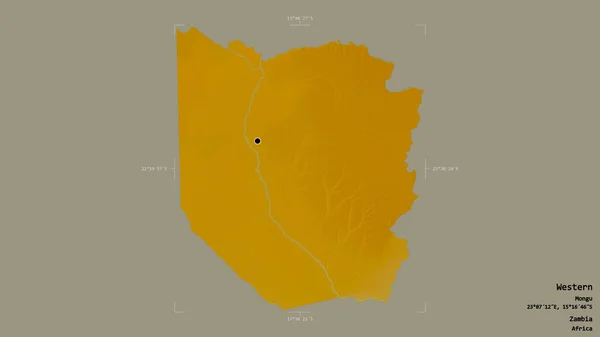
Area of Western, province of Zambia, isolated on a solid background in a georeferenced bounding box. Labels. Topographic relief map. 3D rendering
Area Western Province Zambia Isolated Solid Background Georeferenced Bounding Box — Stock Photo, Image
Area of Ratchaburi, province of Thailand, isolated on a solid background in a georeferenced bounding box. Labels. Topographic relief map. 3D rendering
Area Ratchaburi Province Thailand Isolated Solid Background Georeferenced Bounding Box — Stock Photo, Image
Area of Northern Areas, centrally administered area of Pakistan, isolated on a solid background in a georeferenced bounding box. Labels. Topographic relief map. 3D rendering
Area Northern Areas Centrally Administered Area Pakistan Isolated Solid Background — Stock Photo, Image
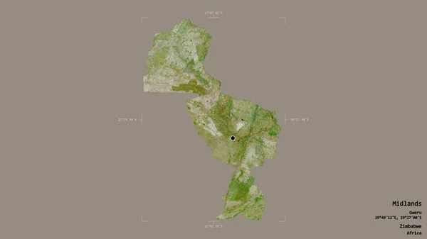
Area of Midlands, province of Zimbabwe, isolated on a solid background in a georeferenced bounding box. Labels. Satellite imagery. 3D rendering
Area Midlands Province Zimbabwe Isolated Solid Background Georeferenced Bounding Box — Stock Photo, Image
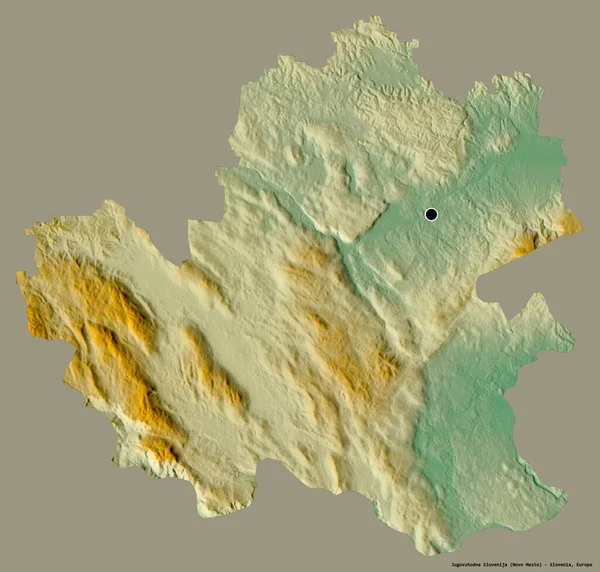
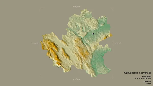
Shape of Jugovzhodna Slovenija, statistical region of Slovenia, with its capital isolated on a solid color background. Topographic relief map. 3D rendering
Shape Jugovzhodna Slovenija Statistical Region Slovenia Its Capital Isolated Solid — Stock Photo, Image
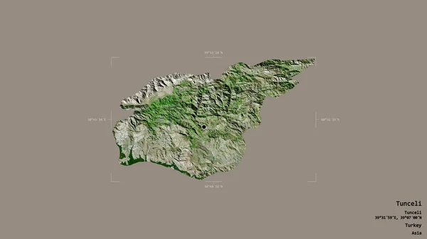
Area of Tunceli, province of Turkey, isolated on a solid background in a georeferenced bounding box. Labels. Satellite imagery. 3D rendering
Area Tunceli Province Turkey Isolated Solid Background Georeferenced Bounding Box — Stock Photo, Image
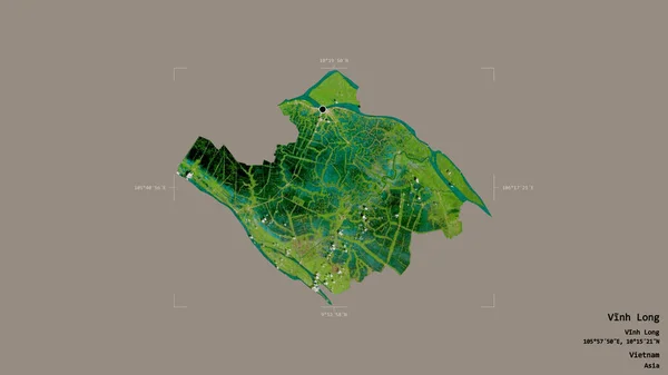
Area of Vinh Long, province of Vietnam, isolated on a solid background in a georeferenced bounding box. Labels. Satellite imagery. 3D rendering
Area Vinh Long Province Vietnam Isolated Solid Background Georeferenced Bounding — Stock Photo, Image
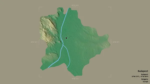
Area of Budapest, capital city of Hungary, isolated on a solid background in a georeferenced bounding box. Labels. Topographic relief map. 3D rendering
Area Budapest Capital City Hungary Isolated Solid Background Georeferenced Bounding — Stock Photo, Image
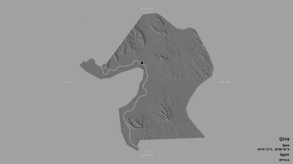
Area of Qina, governorate of Egypt, isolated on a solid background in a georeferenced bounding box. Labels. Bilevel elevation map. 3D rendering
Area Qina Governorate Egypt Isolated Solid Background Georeferenced Bounding Box — Stock Photo, Image
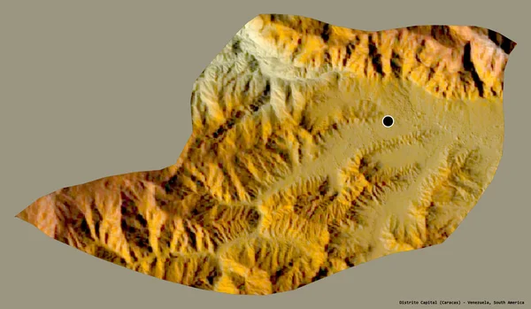
Shape of Distrito Capital, state of Venezuela, with its capital isolated on a solid color background. Topographic relief map. 3D rendering
Shape Distrito Capital State Venezuela Its Capital Isolated Solid Color — Stock Photo, Image
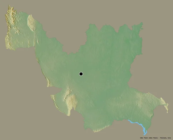
Shape of Udon Thani, province of Thailand, with its capital isolated on a solid color background. Topographic relief map. 3D rendering
Shape Udon Thani Province Thailand Its Capital Isolated Solid Color — Stock Photo, Image
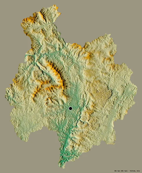
Shape of Bac Kan, province of Vietnam, with its capital isolated on a solid color background. Topographic relief map. 3D rendering
Shape Bac Kan Province Vietnam Its Capital Isolated Solid Color — Stock Photo, Image
Area of Wien, state of Austria, isolated on a solid background in a georeferenced bounding box. Labels. Topographic relief map. 3D rendering
Area Wien State Austria Isolated Solid Background Georeferenced Bounding Box — Stock Photo, Image
Area of Coronie, district of Suriname, isolated on a solid background in a georeferenced bounding box. Labels. Satellite imagery. 3D rendering
Area Coronie District Suriname Isolated Solid Background Georeferenced Bounding Box — Stock Photo, Image
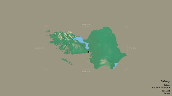
Area of Galway, county of Ireland, isolated on a solid background in a georeferenced bounding box. Labels. Topographic relief map. 3D rendering
Area Galway County Ireland Isolated Solid Background Georeferenced Bounding Box — Stock Photo, Image
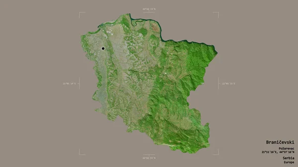
Area of Branicevski, district of Serbia, isolated on a solid background in a georeferenced bounding box. Labels. Satellite imagery. 3D rendering
Area Branicevski District Serbia Isolated Solid Background Georeferenced Bounding Box — Stock Photo, Image
Shape of Ntchisi, district of Malawi, with its capital isolated on a solid color background. Satellite imagery. 3D rendering
Shape Ntchisi District Malawi Its Capital Isolated Solid Color Background — Stock Photo, Image
Area of Araucania, region of Chile, isolated on a solid background in a georeferenced bounding box. Labels. Topographic relief map. 3D rendering
Area Araucania Region Chile Isolated Solid Background Georeferenced Bounding Box — Stock Photo, Image
Area of Osrednjeslovenska, statistical region of Slovenia, isolated on a solid background in a georeferenced bounding box. Labels. Topographic relief map. 3D rendering
Area Osrednjeslovenska Statistical Region Slovenia Isolated Solid Background Georeferenced Bounding — Stock Photo, Image
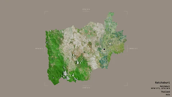
Area of Ratchaburi, province of Thailand, isolated on a solid background in a georeferenced bounding box. Labels. Satellite imagery. 3D rendering
Area Ratchaburi Province Thailand Isolated Solid Background Georeferenced Bounding Box — Stock Photo, Image
Area of Steiermark, state of Austria, isolated on a solid background in a georeferenced bounding box. Labels. Bilevel elevation map. 3D rendering
Area Steiermark State Austria Isolated Solid Background Georeferenced Bounding Box — Stock Photo, Image
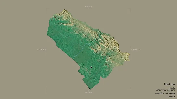
Area of Kouilou, region of Republic of Congo, isolated on a solid background in a georeferenced bounding box. Labels. Topographic relief map. 3D rendering
Area Kouilou Region Republic Congo Isolated Solid Background Georeferenced Bounding — Stock Photo, Image
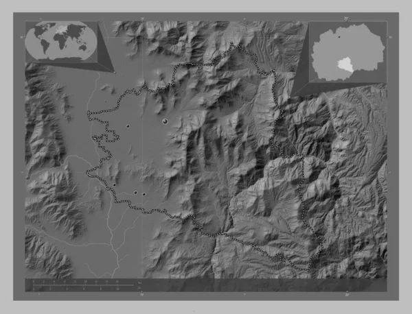
Prilep, municipality of Macedonia. Grayscale elevation map with lakes and rivers. Locations of major cities of the region. Corner auxiliary location maps
Prilep Municipality Macedonia Grayscale Elevation Map Lakes Rivers Locations Major — Stock Photo, Image
Area of Jugovzhodna Slovenija, statistical region of Slovenia, isolated on a solid background in a georeferenced bounding box. Labels. Topographic relief map. 3D rendering
Area Jugovzhodna Slovenija Statistical Region Slovenia Isolated Solid Background Georeferenced — Stock Photo, Image
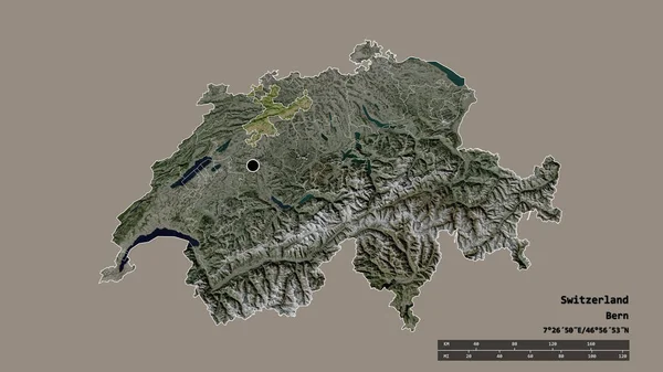
Desaturated shape of Switzerland with its capital, main regional division and the separated Solothurn area. Labels. Satellite imagery. 3D rendering
Desaturated Shape Switzerland Its Capital Main Regional Division Separated Solothurn — Stock Photo, Image
Area of Pando, department of Bolivia, isolated on a solid background in a georeferenced bounding box. Labels. Satellite imagery. 3D rendering
Area Pando Department Bolivia Isolated Solid Background Georeferenced Bounding Box — Stock Photo, Image
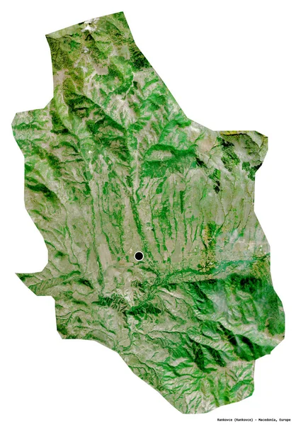
Shape of Rankovce, municipality of Macedonia, with its capital isolated on white background. Satellite imagery. 3D rendering
Shape Rankovce Municipality Macedonia Its Capital Isolated White Background Satellite — Stock Photo, Image
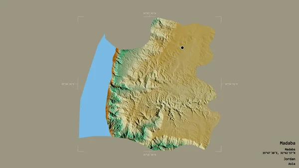
Area of Madaba, province of Jordan, isolated on a solid background in a georeferenced bounding box. Labels. Topographic relief map. 3D rendering
Area Madaba Province Jordan Isolated Solid Background Georeferenced Bounding Box — Stock Photo, Image
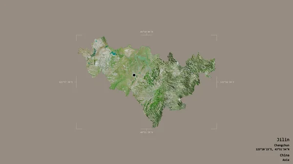
Area of Jilin, province of China, isolated on a solid background in a georeferenced bounding box. Labels. Satellite imagery. 3D rendering
Area Jilin Province China Isolated Solid Background Georeferenced Bounding Box — Stock Photo, Image
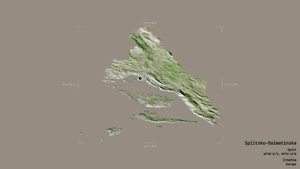
Area of Splitsko-Dalmatinska, county of Croatia, isolated on a solid background in a georeferenced bounding box. Labels. Satellite imagery. 3D rendering
Area Splitsko Dalmatinska County Croatia Isolated Solid Background Georeferenced Bounding — Stock Photo, Image
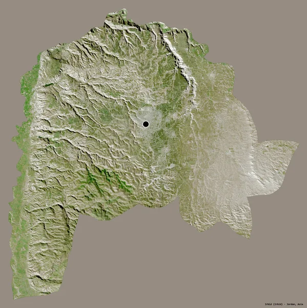
Shape of Irbid, province of Jordan, with its capital isolated on a solid color background. Satellite imagery. 3D rendering
Shape Irbid Province Jordan Its Capital Isolated Solid Color Background — Stock Photo, Image
Area of Ouest, department of Haiti, isolated on a solid background in a georeferenced bounding box. Labels. Satellite imagery. 3D rendering
Area Ouest Department Haiti Isolated Solid Background Georeferenced Bounding Box — Stock Photo, Image

Topographic Map Images: High-Quality Stock Images for your Projects

Topographic maps are essential in various industries such as urban planning, cartography, and surveying. These detailed maps show the shape and features of land, including elevation, terrain, and water bodies. If you're looking for high-quality images of topographic maps, our collection of stock images has got you covered.

What kind of images do we offer?

Our topographic map images come in JPG, AI and EPS formats, which are compatible with most design software. You can use these images for a wide range of projects, including presentations, reports, and infographics. Our collection includes images of various regions and territories, giving you a diverse range of options to choose from.

How can you use these images?

If you're an urban planner or a cartographer, our topographic map images will come in handy when creating maps for your projects. You can also use these images for educational purposes in classrooms and for online courses. If you're creating a presentation about terrain, these images will help illustrate your points and make your presentation more engaging.

How to Choose the Right Topographic Map Image?

When choosing a topographic map image, it's essential to consider the purpose of the image and the context in which it will be used. Think about the message you're trying to convey and choose an image that best aligns with that message. Additionally, consider the color scheme and overall aesthetics of your project to ensure that the image blends well with your design.

Why Choose Our Collection of Images?

In addition to the high-quality of our images, we make it easy for you to find the perfect image for your project. Our collection has a wide range of images from different regions, and you can search for images based on location, color, and size. Our prices are competitive, and you won't have to worry about any hidden fees.

When it comes to choosing the perfect topographic map image for your project, our collection of stock images has got you covered. With a wide selection of high-quality images and competitive pricing, you're sure to find the perfect image for your project.