Scandinavia map Stock Photos

100,000 Scandinavia map pictures are available under a royalty-free license

  • Best Match
  • Fresh
  • Popular
1-100 of 100,000
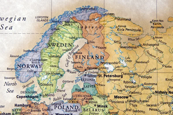
Scandinavia
Scandinavia — Stock Photo, Image
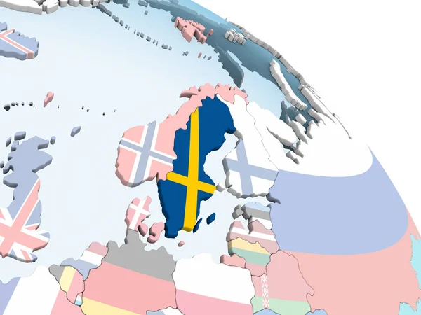
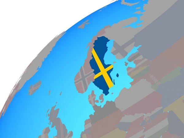
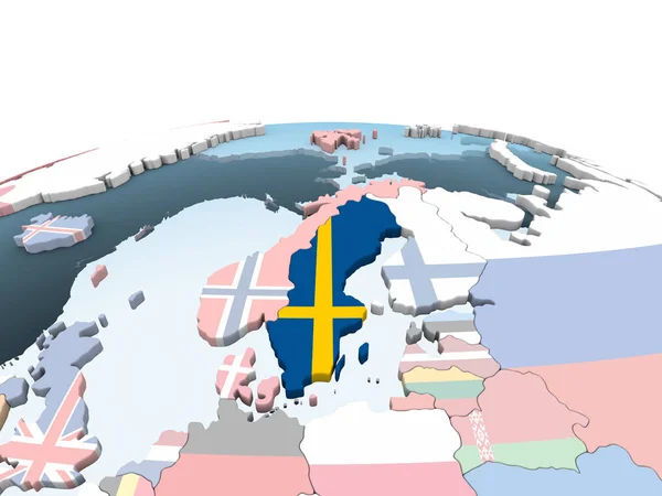
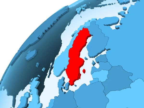
Sweden on bright political globe with embedded flag. 3D illustration.
Sweden Bright Political Globe Embedded Flag Illustration — Stock Photo, Image
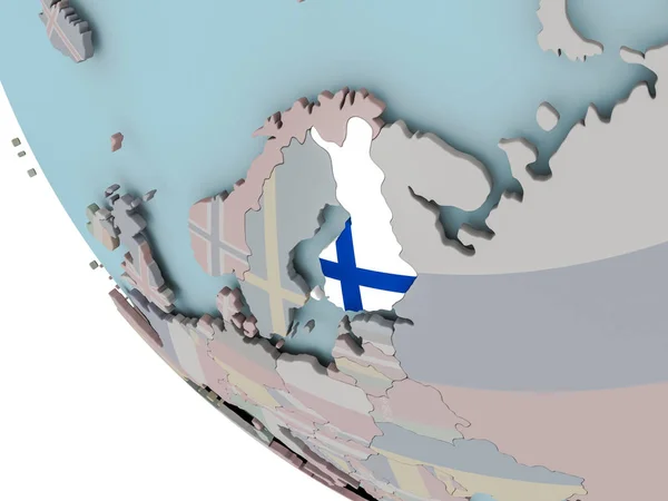
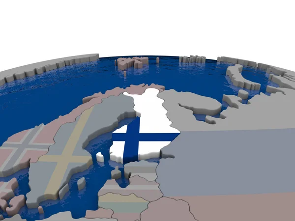
Finland with flag illustration
Finland with flag illustration — Stock Photo, Image
Europe with embedded national flags on simple political 3D globe. 3D illustration.
Europe Embedded National Flags Simple Political Globe Illustration — Stock Photo, Image
Map of Europe, digitally generated image
Map Europe Digitally Generated Image — Stock Photo, Image
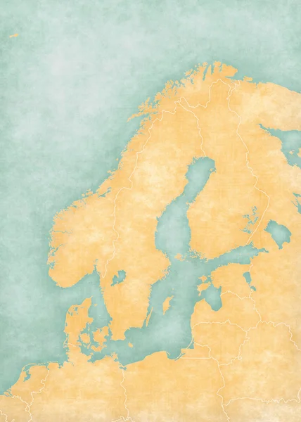
Map of Scandinavia - Blank Map
Map of Scandinavia - Blank Map — Stock Photo, Image
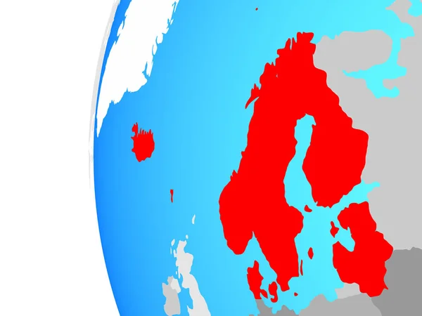
Northern Europe on blue political globe. 3D illustration.
Northern Europe Blue Political Globe Illustration — Stock Photo, Image
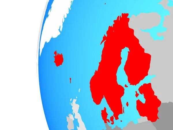
Northern Europe on blue political globe. 3D illustration.
Northern Europe Blue Political Globe Illustration — Stock Photo, Image
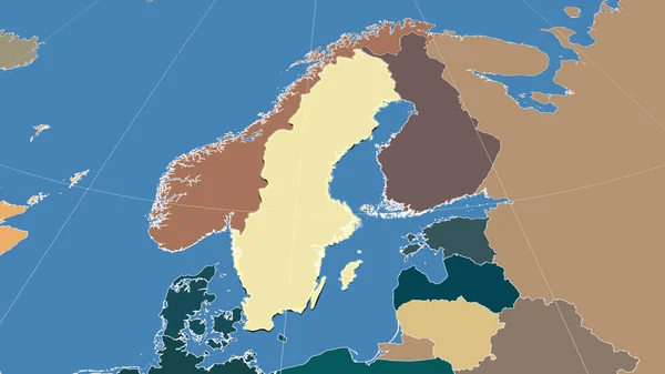
Sweden and its neighborhood. Distant oblique perspective - shape outlined. color map of administrative divisions
Sweden Its Neighborhood Distant Oblique Perspective Shape Outlined Color Map — Stock Photo, Image
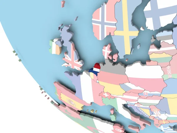
Netherlands with national flag on blue political 3D globe. 3D illustration.
Netherlands National Flag Blue Political Globe Illustration — Stock Photo, Image
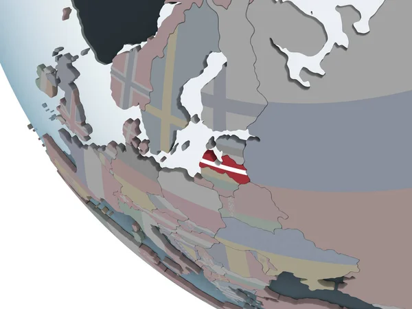
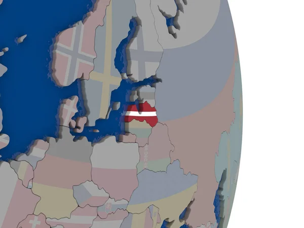
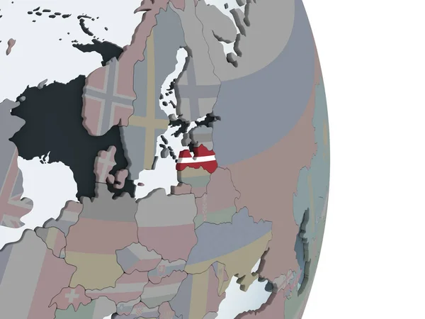
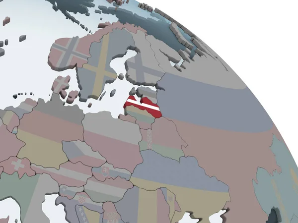
Latvia on political globe with embedded flag. 3D illustration.
Latvia Political Globe Embedded Flag Illustration — Stock Photo, Image
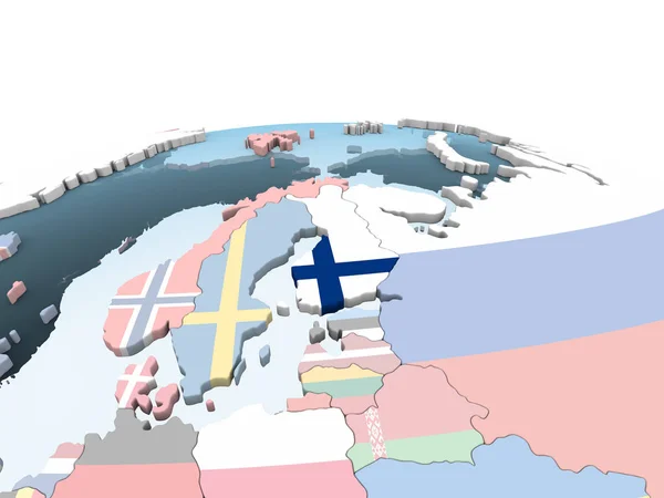
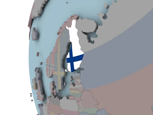
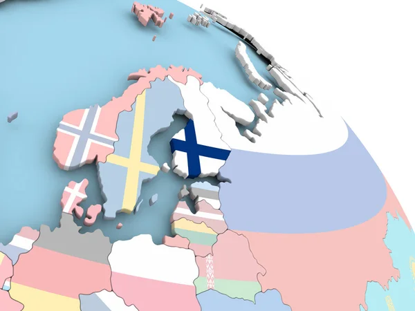
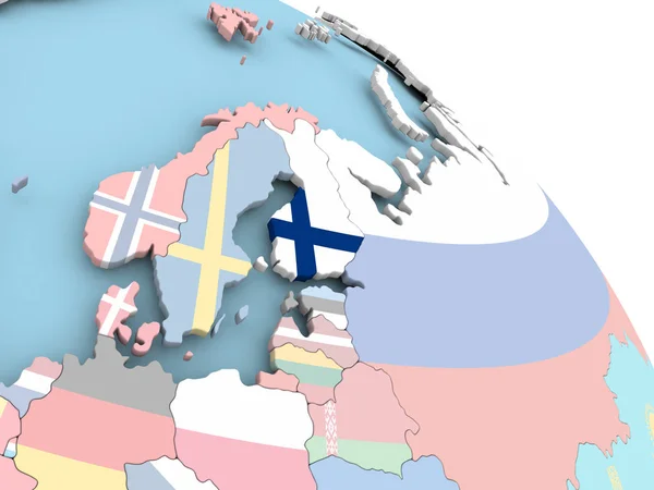
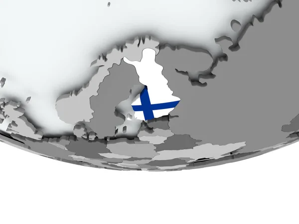
Finland on bright political globe with embedded flag. 3D illustration.
Finland Bright Political Globe Embedded Flag Illustration — Stock Photo, Image
Latvia with its flag
Latvia with its flag — Stock Photo, Image
Map of Estonia.
Map of Estonia. — Stock Photo, Image
Map of Finland with flag
Map of Finland with flag — Stock Photo, Image
Map of Estonia.
Map of Estonia. — Stock Photo, Image
Belarus with flag on globe
Belarus with flag on globe — Stock Photo, Image
Map of Belgium with flag on globe
Map of Belgium with flag on globe — Stock Photo, Image
Map of Belgium with flag on globe
Map of Belgium with flag on globe — Stock Photo, Image
European countries travel maps
European countries travel maps — Stock Photo, Image
European countries travel maps
European countries travel maps — Stock Photo, Image
Latvia on political globe with embedded flag. 3D illustration.
Latvia Political Globe Embedded Flag Illustration — Stock Photo, Image
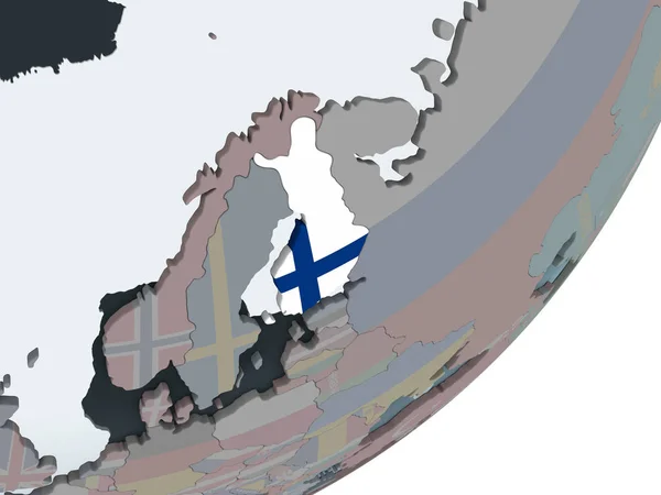
Finland with embedded flag on political globe. 3D illustration.
Finland Embedded Flag Political Globe Illustration — Stock Photo, Image
Sweden on globe
Sweden on globe — Stock Photo, Image
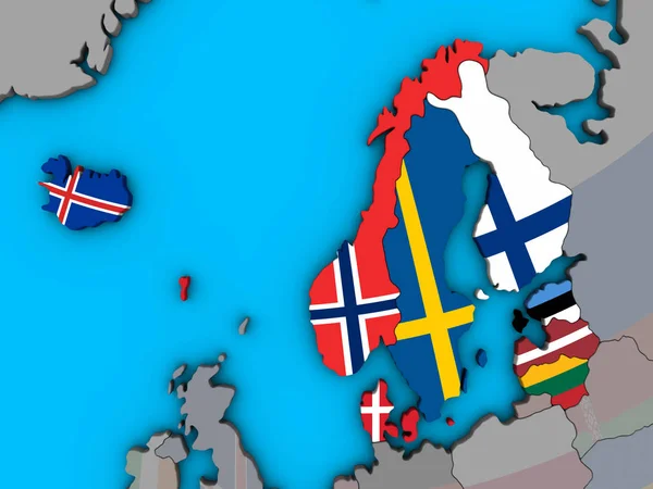
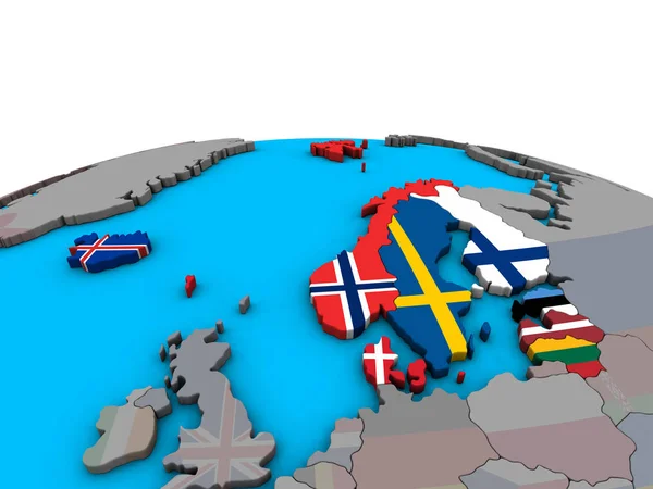
Northern Europe with embedded national flags on blue political 3D globe. 3D illustration.
Northern Europe Embedded National Flags Blue Political Globe Illustration — Stock Photo, Image
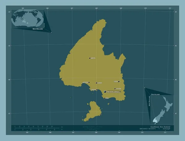
Southland, regional council of New Zealand. Solid color shape. Locations and names of major cities of the region. Corner auxiliary location maps
Southland Regional Council New Zealand Solid Color Shape Locations Names — Stock Photo, Image
Sweden with embedded national flag on globe. 3D illustration.
Sweden Embedded National Flag Globe Illustration — Stock Photo, Image
European Union map, Europe individual states, infographics blue flat design blank
European Union Map Europe Individual States Infographics Blue Flat Design — Stock Photo, Image
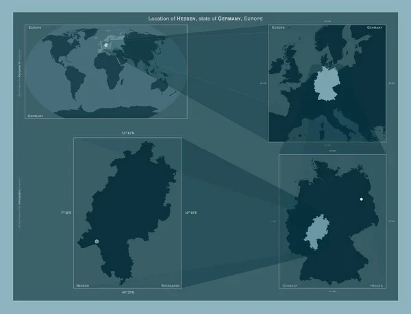
Hessen, state of Germany. Diagram showing the location of the region on larger-scale maps. Composition of vector frames and PNG shapes on a solid background
Hessen State Germany Diagram Showing Location Region Larger Scale Maps — Stock Photo, Image
Trndelag, county of Norway. Low resolution satellite map. Corner auxiliary location maps
Trndelag County Norway Low Resolution Satellite Map Corner Auxiliary Location — Stock Photo, Image
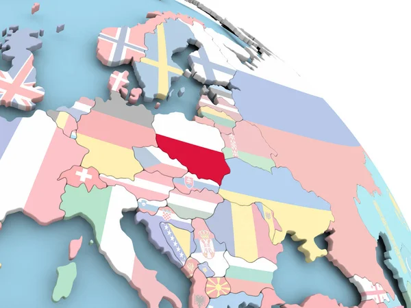
Flag of Poland on globe
Flag of Poland on globe — Stock Photo, Image
Dark blue marbled masculine seamless texture. Irregular ink blotch paint effect background. Marble tileable graphic design wallpaper swatch
Dark blue marbled masculine seamless texture. Irregular ink blotch paint effect background. Marble tileable graphic design wallpaper swatch — Stock Photo, Image
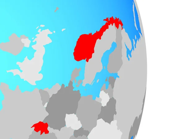
Latvia on political globe with embedded flag. 3D illustration.
Latvia Political Globe Embedded Flag Illustration — Stock Photo, Image
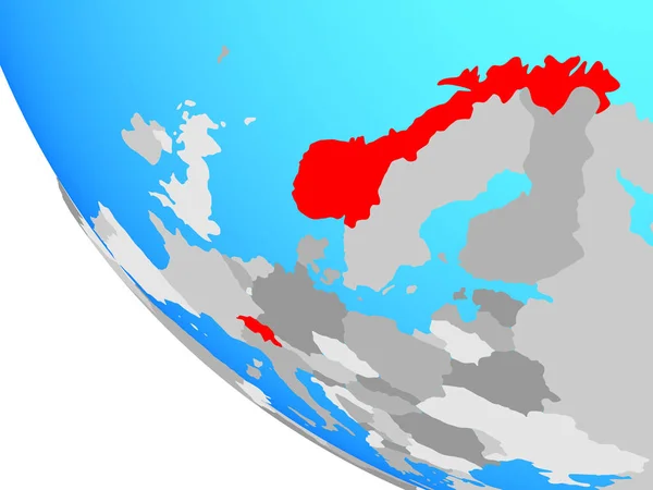
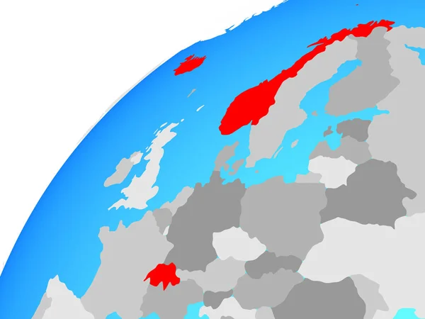
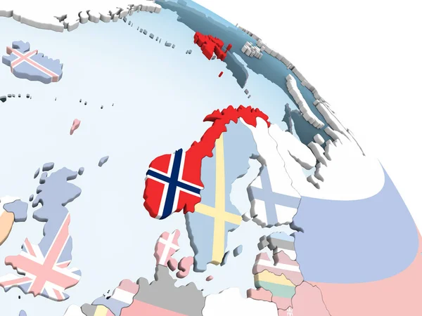
Norway in red on grey model of political globe with transparent oceans. 3D illustration.
Norway Red Grey Model Political Globe Transparent Oceans Illustration — Stock Photo, Image
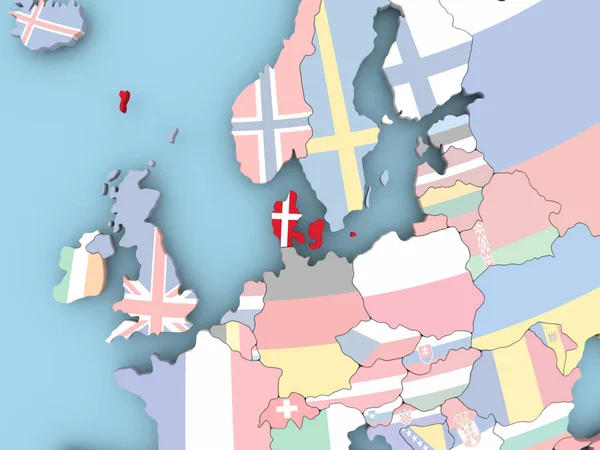
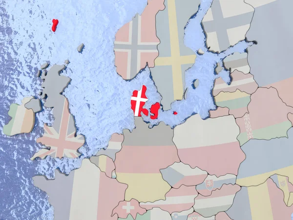
Denmark with flag on globe
Denmark with flag on globe — Stock Photo, Image
Norway on bright political globe with embedded flag. 3D illustration.
Norway Bright Political Globe Embedded Flag Illustration — Stock Photo, Image
EFTA countries on simple political globe. 3D illustration.
Efta Countries Simple Political Globe Illustration — Stock Photo, Image
EFTA countries on simple political globe. 3D illustration.
Efta Countries Simple Political Globe Illustration — Stock Photo, Image
Finland with flag on globe
Finland with flag on globe — Stock Photo, Image
Finland with flag on globe
Finland with flag on globe — Stock Photo, Image
Zoomed-in view of Iceland outline with perspective lines against a global map in the Mollweide projection. Shape on the left side. color map of continents
Zoomed View Iceland Outline Perspective Lines Global Map Mollweide Projection — Stock Photo, Image
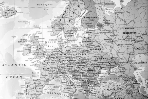
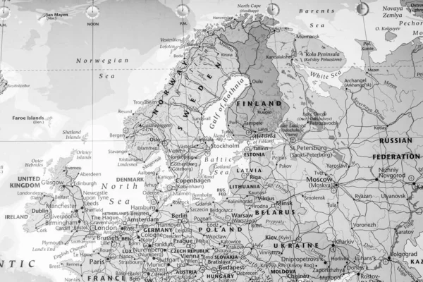
High detailed political map of Europe
High Detailed Political Map Europe — Stock Photo, Image
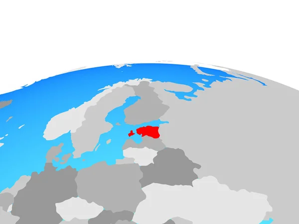
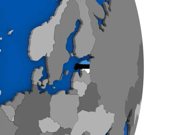
Estonia on political globe. 3D illustration.
Estonia Political Globe Illustration — Stock Photo, Image
Beautiful Mirror Shape Abstract Pattern Art, Great for Prints such as Canvas, Poster, and others
Beautiful Mirror Shape Abstract Pattern Art Great Prints Canvas Poster — Stock Photo, Image
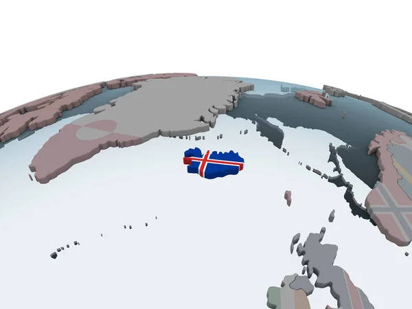
Iceland on political globe with embedded flag. 3D illustration.
Iceland Political Globe Embedded Flag Illustration — Stock Photo, Image
Flag of Finland on globe
Flag of Finland on globe — Stock Photo, Image
Flag of Finland on globe
Flag of Finland on globe — Stock Photo, Image
Flag of Finland on globe
Flag of Finland on globe — Stock Photo, Image
EFTA countries on simple globe. 3D illustration.
Efta Countries Simple Globe Illustration — Stock Photo, Image
Sweden on bright political globe with embedded flag. 3D illustration.
Sweden Bright Political Globe Embedded Flag Illustration — Stock Photo, Image
EFTA countries on globe. 3D illustration.
Efta Countries Globe Illustration — Stock Photo, Image
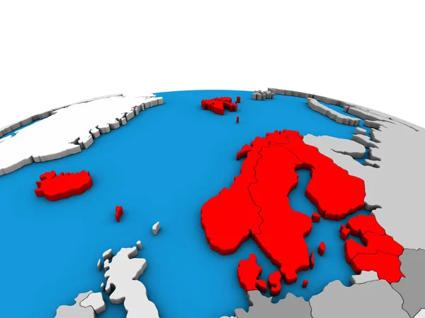
Northern Europe on political 3D globe. 3D illustration.
Northern Europe Political Globe Illustration — Stock Photo, Image
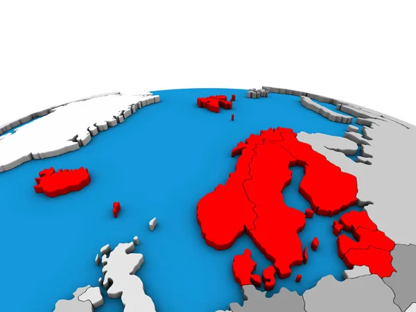
Northern Europe on political 3D globe. 3D illustration.
Northern Europe Political Globe Illustration — Stock Photo, Image
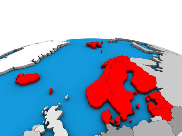
Northern Europe on political 3D globe. 3D illustration.
Northern Europe Political Globe Illustration — Stock Photo, Image
Krong Preah Sihanouk, municipality of Cambodia. Solid color shape. Locations and names of major cities of the region. Corner auxiliary location maps
Krong Preah Sihanouk Municipality Cambodia Solid Color Shape Locations Names — Stock Photo, Image
Estonia on globe with flag
Estonia on globe with flag — Stock Photo, Image
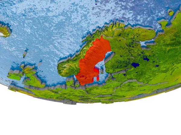
Sweden in red on Earth model
Sweden in red on Earth model — Stock Photo, Image
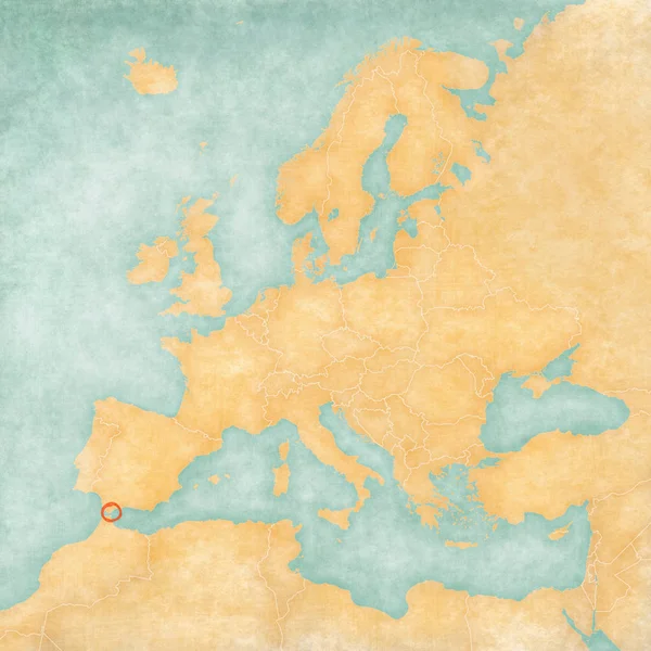
Gibraltar on the map of Europe in soft grunge and vintage style, like old paper with watercolor painting.
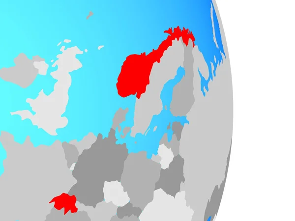
Gibraltar Map Europe Soft Grunge Vintage Style Old Paper Watercolor — Stock Photo, Image
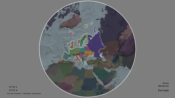
The area of Belarus centered in the circle surrounding its continent on the desaturated background. Capital georeferences and names given. Color map of the administrative division
Area Belarus Centered Circle Surrounding Its Continent Desaturated Background Capital — Stock Photo, Image
Latvia on bright political globe with embedded flag. 3D illustration.
Latvia Bright Political Globe Embedded Flag Illustration — Stock Photo, Image
Latvia on political globe with embedded flag. 3D illustration.
Latvia Political Globe Embedded Flag Illustration — Stock Photo, Image
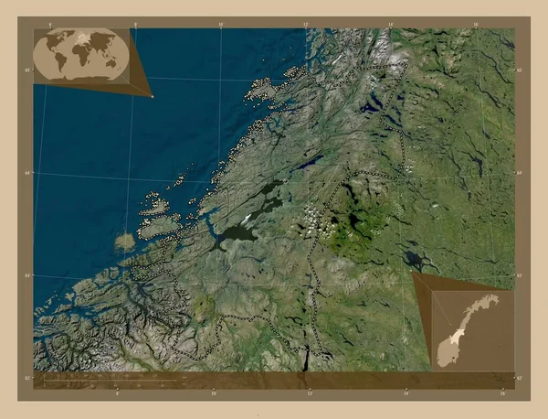
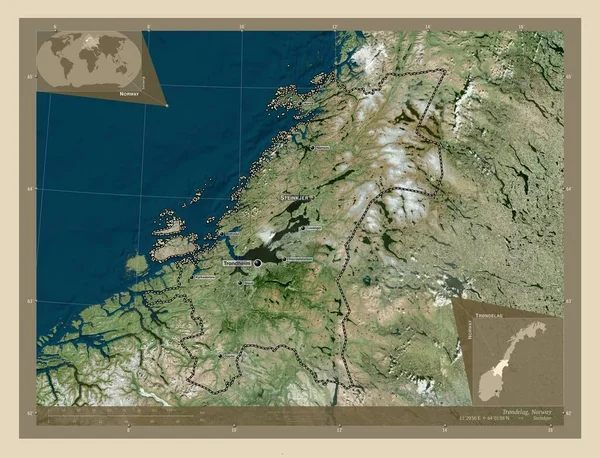
Trndelag, county of Norway. High resolution satellite map. Locations and names of major cities of the region. Corner auxiliary location maps
Trndelag County Norway High Resolution Satellite Map Locations Names Major — Stock Photo, Image
Finland with flag on globe
Finland with flag on globe — Stock Photo, Image
Finland on political globe with embedded flag. 3D illustration.
Finland Political Globe Embedded Flag Illustration — Stock Photo, Image
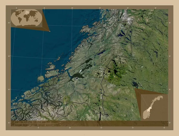
Trndelag, county of Norway. Low resolution satellite map. Locations of major cities of the region. Corner auxiliary location maps
Trndelag County Norway Low Resolution Satellite Map Locations Major Cities — Stock Photo, Image
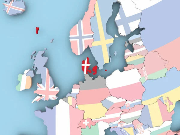
Map of Denmark with flag on globe
Map of Denmark with flag on globe — Stock Photo, Image
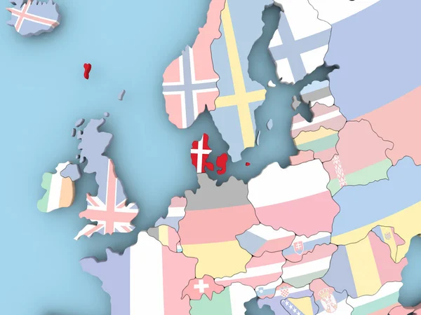
Map of Denmark with flag on globe
Map of Denmark with flag on globe — Stock Photo, Image
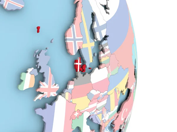
Map of Denmark with flag on globe
Map of Denmark with flag on globe — Stock Photo, Image
Norway on bright political globe with embedded flag. 3D illustration.
Norway Bright Political Globe Embedded Flag Illustration — Stock Photo, Image
Denmark with flag on globe
Denmark with flag on globe — Stock Photo, Image
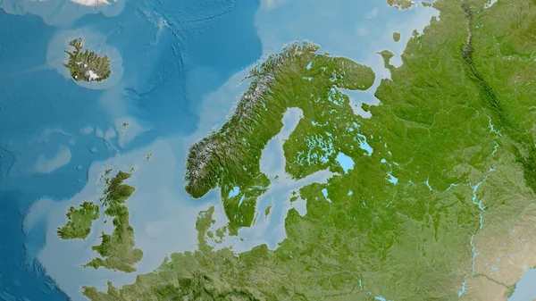
Satellite map centered on Sweden neighborhood area
Satellite Map Centered Sweden Neighborhood Area — Stock Photo, Image
Illustration on an Orange background of Denmark
Illustration on an Orange background of Denmark — Stock Photo, Image
Finland with flag
Finland with flag — Stock Photo, Image
Sweden in red on blue model of political globe with transparent oceans. 3D illustration.
Sweden Red Blue Model Political Globe Transparent Oceans Illustration — Stock Photo, Image
Lithuania with flag on globe
Lithuania with flag on globe — Stock Photo, Image
Color abstract digital illustration for design.
Color Abstract Digital Illustration Design — Stock Photo, Image
Germany area on the satellite B map in the stereographic projection - raw composition of raster layers with dark glowing outline
Germany Area Satellite Map Stereographic Projection Raw Composition Raster Layers — Stock Photo, Image
Latvia with national flag on blue political 3D globe. 3D illustration.
Latvia National Flag Blue Political Globe Illustration — Stock Photo, Image
Northern Europe with embedded national flags on political 3D globe. 3D illustration.
Northern Europe Embedded National Flags Political Globe Illustration — Stock Photo, Image
Polygonal Network Mesh High Detail Raster Map of Leningrad Region Abstractions
Polygonal Network Mesh High Detail Raster Map of Leningrad Region Abstractions — Stock Photo, Image
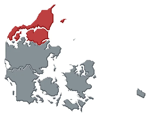
Political map of Danmark with the several regions where North Denmark is highlighted.
Political Map Danmark Several Regions North Denmark Highlighted — Stock Photo, Image
Czech republic with flag on globe
Czech republic with flag on globe — Stock Photo, Image
Map of Ruegen, geographical map
Map Ruegen Geographical Map — Stock Photo, Image
Map 3D isolate background
Map Isolate Background — Stock Photo, Image
Color map with countries as background
Color Map Countries Background — Stock Photo, Image
Canary Islands on the map of North Atlantic Ocean in soft grunge and vintage style, like old paper with watercolor painting.
Canary Islands Map North Atlantic Ocean Soft Grunge Vintage Style — Stock Photo, Image
High detailed political map of Europe
High Detailed Political Map Europe — Stock Photo, Image
Map of Netherlands with flag on globe
Map of Netherlands with flag on globe — Stock Photo, Image
Map Qatar. Isolated Illustration. Black on White background.
Map Qatar Isolated Illustration Black White Background — Stock Photo, Image
Austria with national flag on simple political globe. 3D illustration.
Austria National Flag Simple Political Globe Illustration — Stock Photo, Image
Map of North Atlantic - Iceland
Map of North Atlantic - Iceland — Stock Photo, Image
Map of Estonia with flag on globe
Map of Estonia with flag on globe — Stock Photo, Image
Polygonal Wire Frame Mesh High Resolution Raster Map of Saint John Island Abstractions
Polygonal Wire Frame Mesh High Resolution Raster Map of Saint John Island Abstractions — Stock Photo, Image
Netherlands with flag on globe
Netherlands with flag on globe — Stock Photo, Image
White background with pastel colorful . abstract stains
White Background Pastel Colorful Abstract Stains — Stock Photo, Image
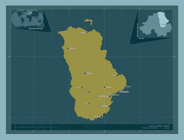
Antrim, region of Northern Ireland. Solid color shape. Locations and names of major cities of the region. Corner auxiliary location maps
Antrim Region Northern Ireland Solid Color Shape Locations Names Major — Stock Photo, Image

Scandinavia Map Images: High-Quality Visuals for Your Projects

Are you looking for stunning visuals to enhance your next project? Look no further! Our collection of Scandinavia map images offers a wide range of high-quality visuals that are perfect for various purposes. From web design to advertising campaigns, these stock images are versatile and eye-catching. Whether you need them for personal or commercial use, we have the perfect visuals to capture the essence of Scandinavia.

Exploring the Beauty of Scandinavia

Our Scandinavia map images showcase the breathtaking landscapes, vibrant cities, and rich culture of this northern European region. With its stunning fjords, majestic mountains, and picturesque countryside, Scandinavia offers a wealth of visual inspiration. These images provide a captivating glimpse into the unique charm and diversity of countries like Norway, Sweden, Denmark, Finland, and Iceland.

Featuring traditional architecture, modern urban scenes, and awe-inspiring natural wonders, our collection caters to a wide range of design needs. Whether you're working on a travel website, a presentation on Nordic culture, or an advertisement for Scandinavian tourism, our visuals will help you bring your ideas to life.

Choosing the Perfect Visual for Your Project

When it comes to using Scandinavia map images, it's essential to choose the right visual that aligns with your project's goals. Here are some practical tips to help you make the best selection:

  • Consider the message: Think about the story you want to tell with your project. Are you highlighting the urban vibe of Stockholm or the untouched wilderness of Lapland? Select an image that encapsulates your message and resonates with your target audience.
  • Match your brand: If you're using the visuals for commercial purposes, ensure they align with your brand's style and values. The images should complement your brand aesthetics and evoke the emotions you want your audience to feel.
  • Versatility is key: Choose visuals that can be adapted for various platforms. Consider how the image will look on a website, social media, or print material. Images with neutral backgrounds or minimalist designs are easier to incorporate into different contexts.

Available File Types and Usage

Our Scandinavia map images are available in three file formats: JPG, AI, and EPS. While SVG is not currently available, these formats ensure compatibility with a wide range of design software and applications. You can easily incorporate the images into your projects without any hassle.

Whether you're a graphic designer, marketer, or content creator, our stock images can be used in various contexts, including:

  • Website design: Enhance the visual appeal of your website with captivating images of Scandinavian landscapes or iconic landmarks.
  • Travel brochures and advertisements: Promote Scandinavian tourism and attract potential visitors with stunning visuals that showcase the region's beauty and attractions.
  • Presentation materials: Make your presentations more engaging and informative by incorporating visuals that represent the unique aspects of Scandinavia.
  • Social media content: Capture the attention of your followers with visually striking images that celebrate the natural and cultural wonders of Scandinavia.
  • Print materials: Create impactful posters, flyers, or banners with high-resolution images that bring the beauty of Scandinavia to life.

Our Scandinavia map images are not just for visual appeal; they are tools to tell a compelling story about this extraordinary region. Choose your preferred format and let the visuals transport your audience to the charm and allure of Scandinavia.

Experience the splendor of Scandinavia through our collection of high-quality map images. Start incorporating these visuals into your projects today and unlock the true potential of your designs!