Saudi arabia map Stock Photos

100,000 Saudi arabia map pictures are available under a royalty-free license

  • Best Match
  • Fresh
  • Popular
1-100 of 100,000
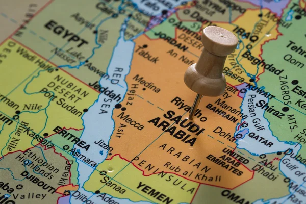
Saudi Arabia on a map
Saudi Arabia on a map — Stock Photo, Image
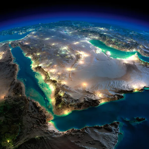
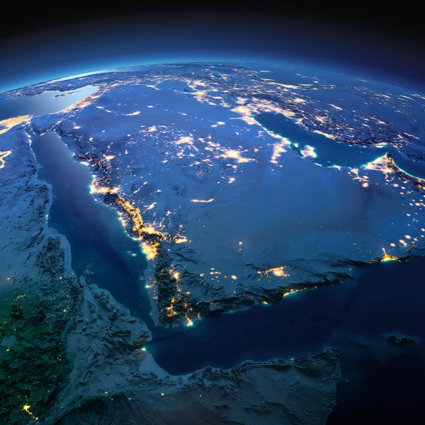
Night Earth. Saudi Arabia
Night Earth. Saudi Arabia — Stock Photo, Image
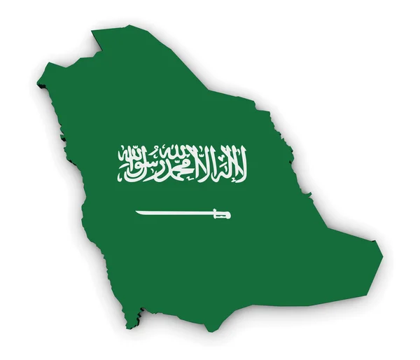
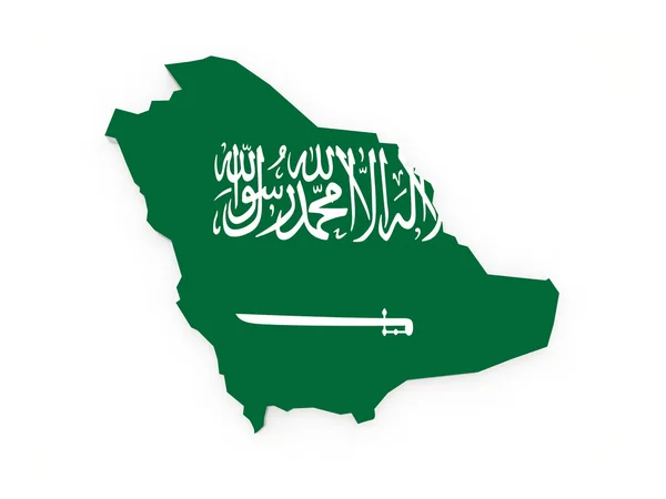
Saudi Arabian Flag Map
Saudi Arabian Flag Map — Stock Photo, Image
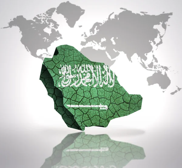
Map of Saudi Arabia
Map of Saudi Arabia — Stock Photo, Image
Detailed Earth. Saudi Arabia on a moonlit night
Detailed Earth. Saudi Arabia on a moonlit night — Stock Photo, Image
Bandage breast enlargement
Bandage breast enlargement — Stock Photo, Image
Bandage breast enlargement
Bandage breast enlargement — Stock Photo, Image
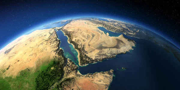
Highly detailed Earth. Saudi Arabia
Highly detailed Earth. Saudi Arabia — Stock Photo, Image
Land area in Arabia, and India the night
Land area in Arabia, and India the night — Stock Photo, Image
Map of Al-Baha. Saudi Arabia.
Map of Al-Baha. Saudi Arabia. — Stock Photo, Image
Map of Saudi Arabia.
Map of Saudi Arabia. — Stock Photo, Image
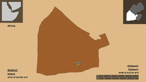
Shape of Dikhil, region of Djibouti, and its capital. Distance scale, previews and labels. Composition of patterned textures. 3D rendering
Shape Dikhil Region Djibouti Its Capital Distance Scale Previews Labels — Stock Photo, Image
Israel with embedded national flag on blue political globe. 3D illustration.
Israel Embedded National Flag Blue Political Globe Illustration — Stock Photo, Image
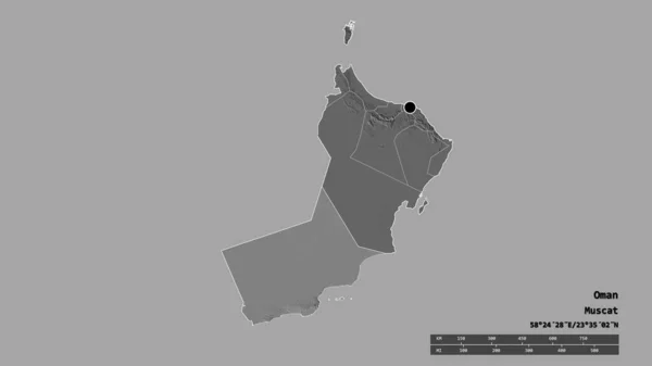
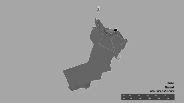
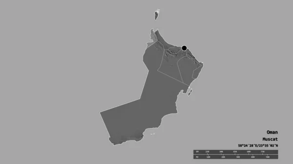
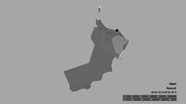
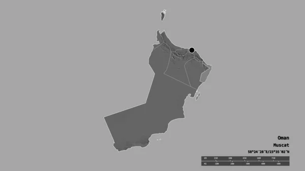
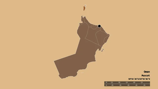
Desaturated shape of Oman with its capital, main regional division and the separated Dhofar area. Labels. Bilevel elevation map. 3D rendering
Desaturated Shape Oman Its Capital Main Regional Division Separated Dhofar — Stock Photo, Image
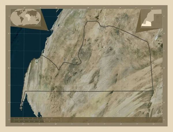
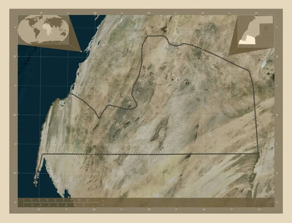
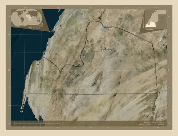
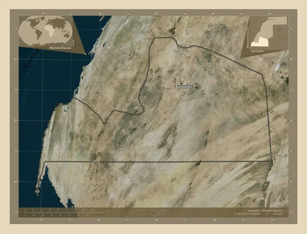
Aousserd, province of Western Sahara. High resolution satellite map. Corner auxiliary location maps
Aousserd Province Western Sahara High Resolution Satellite Map Corner Auxiliary — Stock Photo, Image
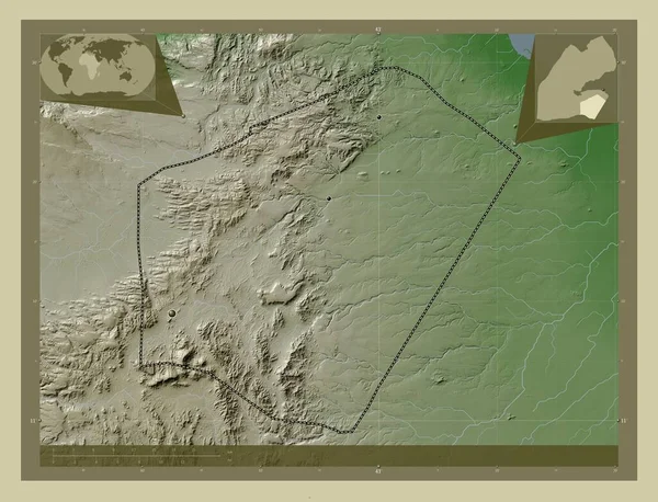
Ali Sabieh, region of Djibouti. Elevation map colored in wiki style with lakes and rivers. Corner auxiliary location maps
Ali Sabieh Region Djibouti Elevation Map Colored Wiki Style Lakes — Stock Photo, Image
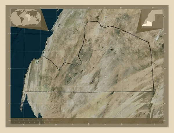
Aousserd, province of Western Sahara. High resolution satellite map. Locations of major cities of the region. Corner auxiliary location maps
Aousserd Province Western Sahara High Resolution Satellite Map Locations Major — Stock Photo, Image
Aousserd, province of Western Sahara. High resolution satellite map. Locations of major cities of the region. Corner auxiliary location maps
Aousserd Province Western Sahara High Resolution Satellite Map Locations Major — Stock Photo, Image
Desaturated shape of Oman with its capital, main regional division and the separated Musandam area. Labels. Bilevel elevation map. 3D rendering
Desaturated Shape Oman Its Capital Main Regional Division Separated Musandam — Stock Photo, Image
Aousserd, province of Western Sahara. High resolution satellite map. Corner auxiliary location maps
Aousserd Province Western Sahara High Resolution Satellite Map Corner Auxiliary — Stock Photo, Image
Desaturated shape of Oman with its capital, main regional division and the separated Al Batinah South area. Labels. Bilevel elevation map. 3D rendering
Desaturated Shape Oman Its Capital Main Regional Division Separated Batinah — Stock Photo, Image
Ali Sabieh, region of Djibouti. Elevation map colored in wiki style with lakes and rivers. Locations of major cities of the region. Corner auxiliary location maps
Ali Sabieh Region Djibouti Elevation Map Colored Wiki Style Lakes — Stock Photo, Image
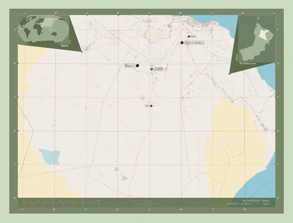
Ad Dakhliyah, region of Oman. Open Street Map. Locations and names of major cities of the region. Corner auxiliary location maps
Dakhliyah Region Oman Open Street Map Locations Names Major Cities — Stock Photo, Image
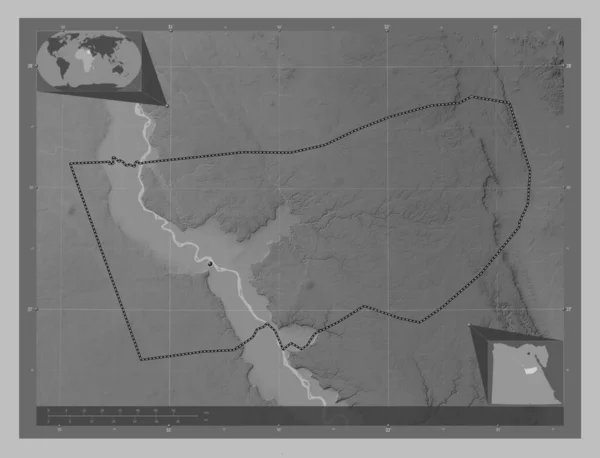
Asyut, governorate of Egypt. Grayscale elevation map with lakes and rivers. Corner auxiliary location maps
Asyut Governorate Egypt Grayscale Elevation Map Lakes Rivers Corner Auxiliary — Stock Photo, Image
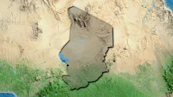
Close-up of the Chad border area highlighting with a dark overlay on a satellite map. Capital point. Bevelled edges of the country shape.
Close Chad Border Area Highlighting Dark Overlay Satellite Map Capital — Stock Photo, Image
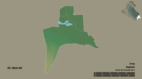
Shape of Al-Basrah, province of Iraq, with its capital isolated on solid background. Distance scale, region preview and labels. Topographic relief map. 3D rendering
Shape Basrah Province Iraq Its Capital Isolated Solid Background Distance — Stock Photo, Image
Desaturated shape of Oman with its capital, main regional division and the separated Al Buraymi area. Labels. Bilevel elevation map. 3D rendering
Desaturated Shape Oman Its Capital Main Regional Division Separated Buraymi — Stock Photo, Image
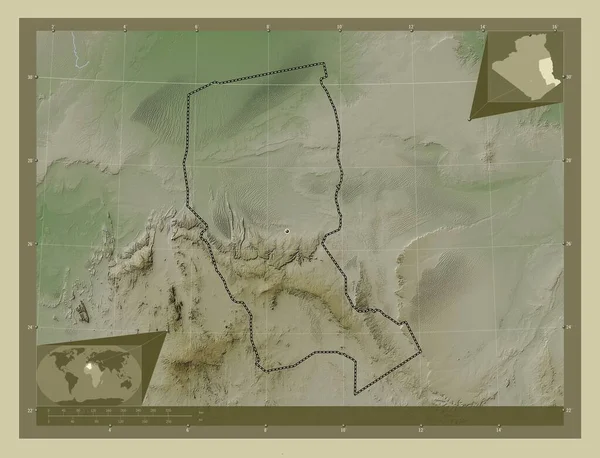
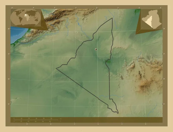
Illizi, province of Algeria. Elevation map colored in wiki style with lakes and rivers. Corner auxiliary location maps
Illizi Province Algeria Elevation Map Colored Wiki Style Lakes Rivers — Stock Photo, Image
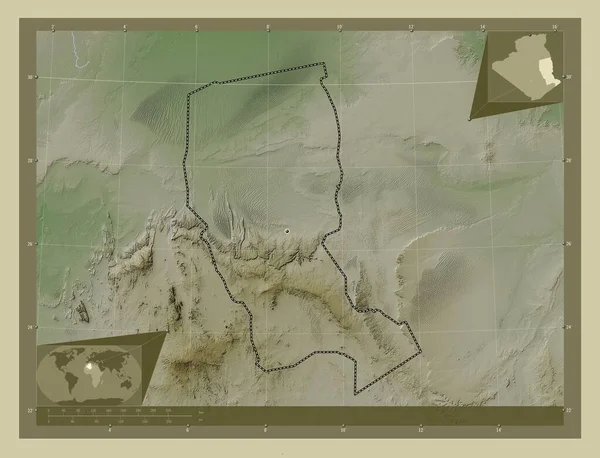
Illizi, province of Algeria. Elevation map colored in wiki style with lakes and rivers. Locations of major cities of the region. Corner auxiliary location maps
Illizi Province Algeria Elevation Map Colored Wiki Style Lakes Rivers — Stock Photo, Image
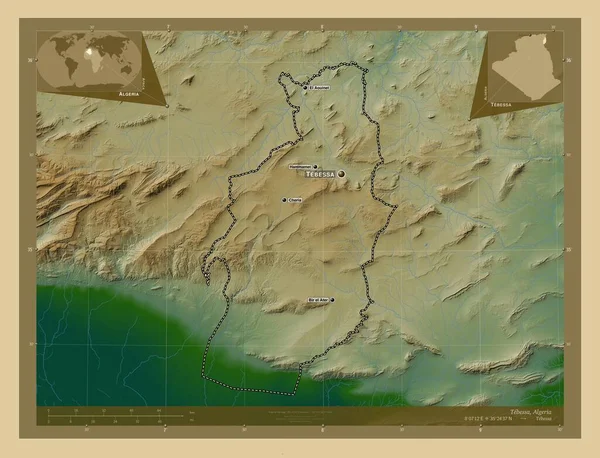
Tebessa, province of Algeria. Colored elevation map with lakes and rivers. Locations and names of major cities of the region. Corner auxiliary location maps
Tebessa Province Algeria Colored Elevation Map Lakes Rivers Locations Names — Stock Photo, Image
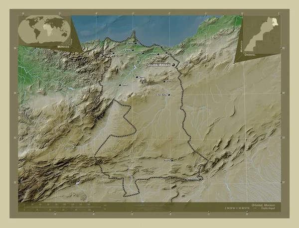
Oriental, region of Morocco. Elevation map colored in wiki style with lakes and rivers. Locations and names of major cities of the region. Corner auxiliary location maps
Oriental Region Morocco Elevation Map Colored Wiki Style Lakes Rivers — Stock Photo, Image
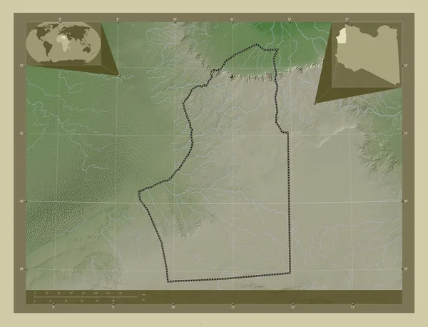
Nalut, district of Libya. Elevation map colored in wiki style with lakes and rivers. Corner auxiliary location maps
Nalut District Libya Elevation Map Colored Wiki Style Lakes Rivers — Stock Photo, Image
Desaturated shape of Oman with its capital, main regional division and the separated Ash Sharqiyah North area. Labels. Bilevel elevation map. 3D rendering
Desaturated Shape Oman Its Capital Main Regional Division Separated Ash — Stock Photo, Image
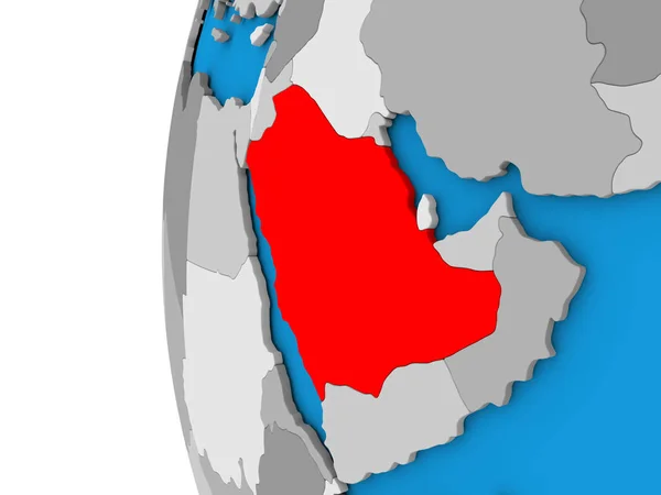
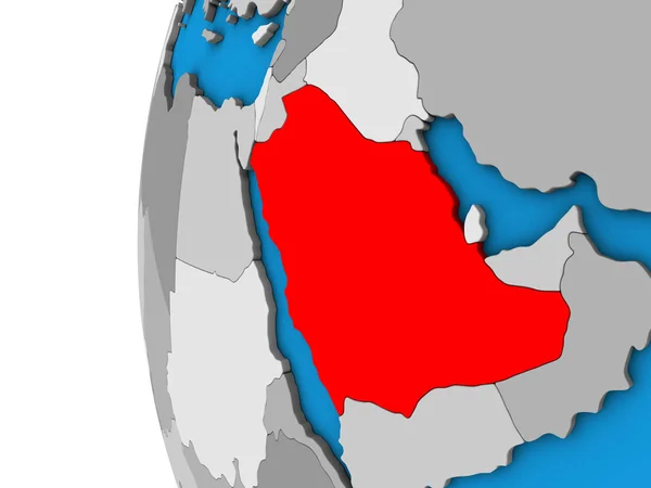
Saudi Arabia on blue political 3D globe. 3D illustration.
Saudi Arabia Blue Political Globe Illustration — Stock Photo, Image
Adrar, province of Algeria. Colored elevation map with lakes and rivers. Corner auxiliary location maps
Adrar Province Algeria Colored Elevation Map Lakes Rivers Corner Auxiliary — Stock Photo, Image
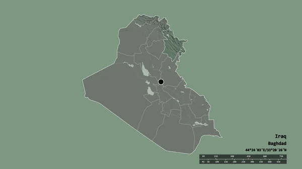
Desaturated shape of Iraq with its capital, main regional division and the separated As-Sulaymaniyah area. Labels. Colored elevation map. 3D rendering
Desaturated Shape Iraq Its Capital Main Regional Division Separated Sulaymaniyah — Stock Photo, Image
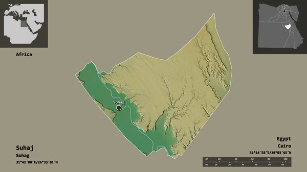
Shape of Suhaj, governorate of Egypt, and its capital. Distance scale, previews and labels. Topographic relief map. 3D rendering
Shape Suhaj Governorate Egypt Its Capital Distance Scale Previews Labels — Stock Photo, Image
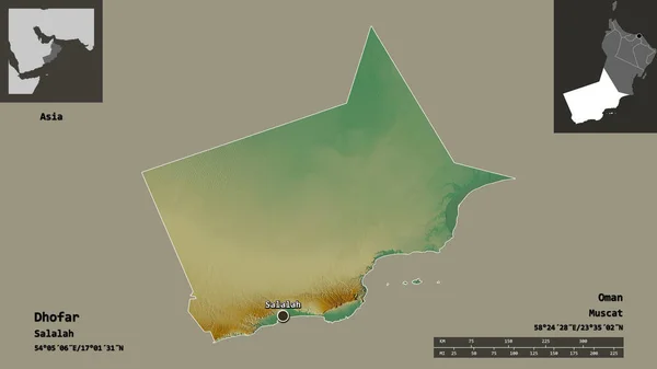
Shape of Dhofar, province of Oman, and its capital. Distance scale, previews and labels. Topographic relief map. 3D rendering
Shape Dhofar Province Oman Its Capital Distance Scale Previews Labels — Stock Photo, Image
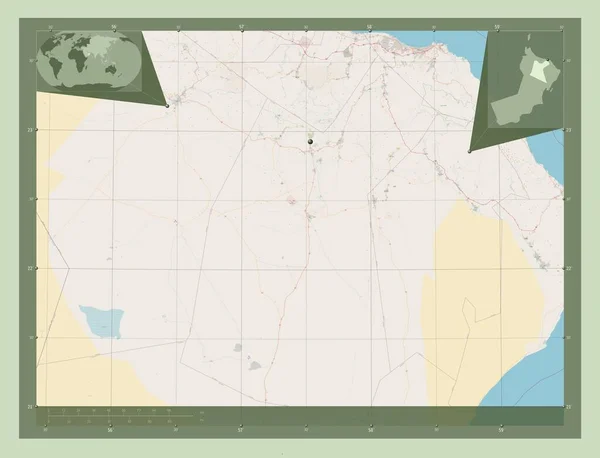
Ad Dakhliyah, region of Oman. Open Street Map. Corner auxiliary location maps
Dakhliyah Region Oman Open Street Map Corner Auxiliary Location Maps — Stock Photo, Image
Shape of An Nuqat al Khams, district of Libya, and its capital. Distance scale, previews and labels. Topographic relief map. 3D rendering
Shape Nuqat Khams District Libya Its Capital Distance Scale Previews — Stock Photo, Image
Desaturated shape of Oman with its capital, main regional division and the separated Al Dhahira area. Labels. Bilevel elevation map. 3D rendering
Desaturated Shape Oman Its Capital Main Regional Division Separated Dhahira — Stock Photo, Image
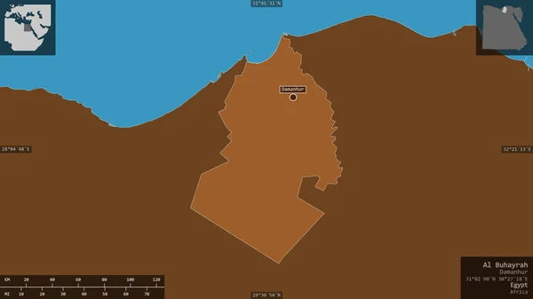
Al Buhayrah, governorate of Egypt. Patterned solids with lakes and rivers. Shape presented against its country area with informative overlays. 3D rendering
Buhayrah Governorate Egypt Patterned Solids Lakes Rivers Shape Presented Its — Stock Photo, Image
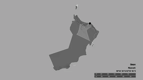
Desaturated shape of Oman with its capital, main regional division and the separated Ad Dakhliyah area. Labels. Bilevel elevation map. 3D rendering
Desaturated Shape Oman Its Capital Main Regional Division Separated Dakhliyah — Stock Photo, Image
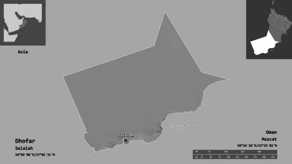
Shape of Dhofar, province of Oman, and its capital. Distance scale, previews and labels. Bilevel elevation map. 3D rendering
Shape Dhofar Province Oman Its Capital Distance Scale Previews Labels — Stock Photo, Image
Shape of Qina, governorate of Egypt, and its capital. Distance scale, previews and labels. Topographic relief map. 3D rendering
Shape Qina Governorate Egypt Its Capital Distance Scale Previews Labels — Stock Photo, Image
Desaturated shape of Oman with its capital, main regional division and the separated Ash Sharqiyah South area. Labels. Bilevel elevation map. 3D rendering
Desaturated Shape Oman Its Capital Main Regional Division Separated Ash — Stock Photo, Image
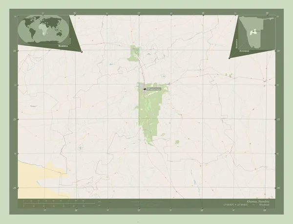
Khomas, region of Namibia. Open Street Map. Locations and names of major cities of the region. Corner auxiliary location maps
Khomas Region Namibia Open Street Map Locations Names Major Cities — Stock Photo, Image
Area of Algeria isolated on a solid background in a georeferenced bounding box. Main regional division, distance scale, labels. Topographic relief map. 3D rendering
Area Algeria Isolated Solid Background Georeferenced Bounding Box Main Regional — Stock Photo, Image
Egypt in red on model of political globe with transparent oceans. 3D illustration.
Egypt Red Model Political Globe Transparent Oceans Illustration — Stock Photo, Image
Ecuador on globe
Ecuador on globe — Stock Photo, Image
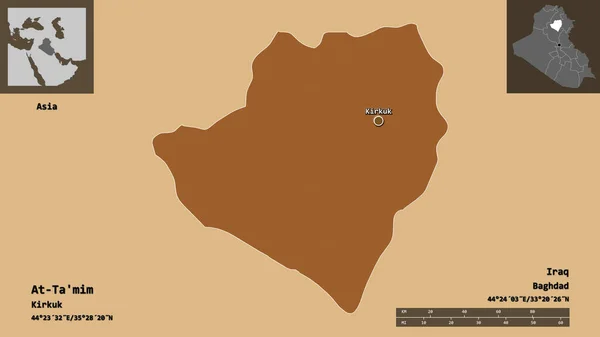
Shape of At-Ta'mim, province of Iraq, and its capital. Distance scale, previews and labels. Composition of patterned textures. 3D rendering
Shape Mim Province Iraq Its Capital Distance Scale Previews Labels — Stock Photo, Image
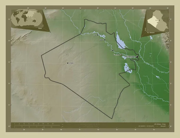
Al-Anbar, province of Iraq. Elevation map colored in wiki style with lakes and rivers. Locations and names of major cities of the region. Corner auxiliary location maps
Anbar Province Iraq Elevation Map Colored Wiki Style Lakes Rivers — Stock Photo, Image
Marsabit, county of Kenya. Colored elevation map with lakes and rivers. Corner auxiliary location maps
Marsabit County Kenya Colored Elevation Map Lakes Rivers Corner Auxiliary — Stock Photo, Image
Marsabit, county of Kenya. Colored elevation map with lakes and rivers. Locations of major cities of the region. Corner auxiliary location maps
Marsabit County Kenya Colored Elevation Map Lakes Rivers Locations Major — Stock Photo, Image
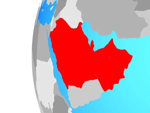
CCASG countries on blue political globe. 3D illustration.
Ccasg Countries Blue Political Globe Illustration — Stock Photo, Image
CCASG countries on blue political globe. 3D illustration.
Ccasg Countries Blue Political Globe Illustration — Stock Photo, Image
Shape of Al Mahwit, governorate of Yemen, and its capital. Distance scale, previews and labels. Composition of patterned textures. 3D rendering
Shape Mahwit Governorate Yemen Its Capital Distance Scale Previews Labels — Stock Photo, Image
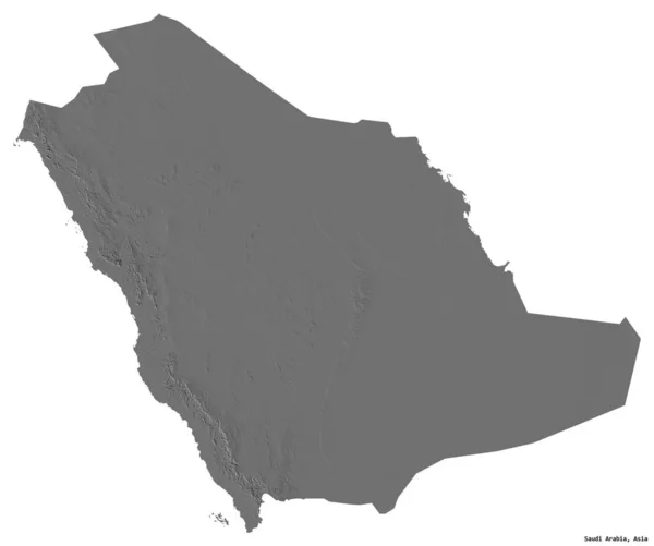
Shape of Saudi Arabia with its capital isolated on white background. Bilevel elevation map. 3D rendering
Shape Saudi Arabia Its Capital Isolated White Background Bilevel Elevation — Stock Photo, Image
Desaturated shape of Oman with its capital, main regional division and the separated Musandam area. Labels. Composition of regularly patterned textures. 3D rendering
Desaturated Shape Oman Its Capital Main Regional Division Separated Musandam — Stock Photo, Image
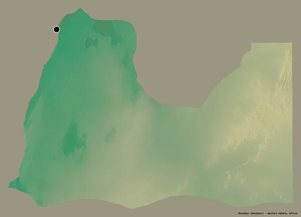
Shape of Boujdour, province of Western Sahara, with its capital isolated on a solid color background. Topographic relief map. 3D rendering
Shape Boujdour Province Western Sahara Its Capital Isolated Solid Color — Stock Photo, Image
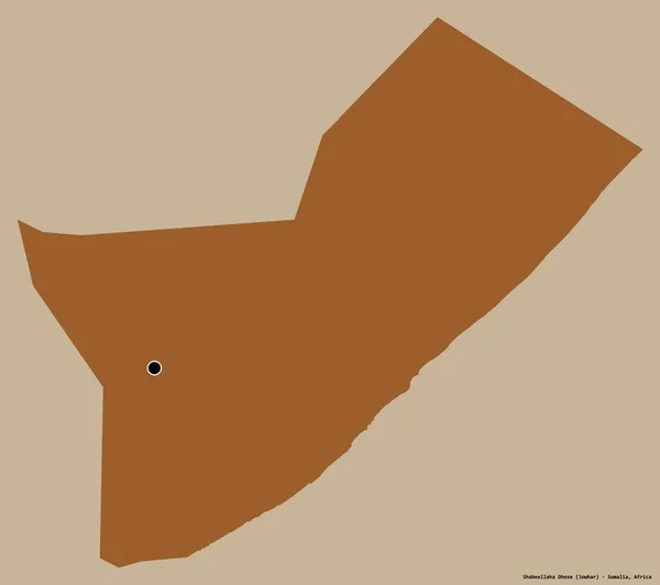
Shape of Shabeellaha Dhexe, region of Somalia, with its capital isolated on a solid color background. Composition of patterned textures. 3D rendering
Shape Shabeellaha Dhexe Region Somalia Its Capital Isolated Solid Color — Stock Photo, Image
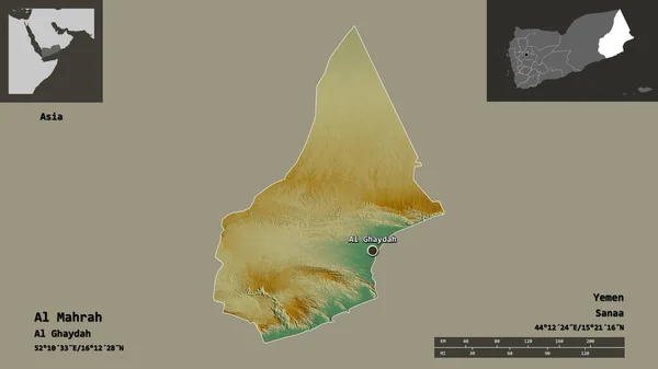
Shape of Al Mahrah, governorate of Yemen, and its capital. Distance scale, previews and labels. Topographic relief map. 3D rendering
Shape Mahrah Governorate Yemen Its Capital Distance Scale Previews Labels — Stock Photo, Image
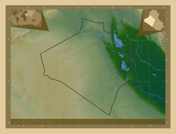
Al-Anbar, province of Iraq. Colored elevation map with lakes and rivers. Corner auxiliary location maps
Anbar Province Iraq Colored Elevation Map Lakes Rivers Corner Auxiliary — Stock Photo, Image
Yazd, province of Iran. Elevation map colored in wiki style with lakes and rivers. Corner auxiliary location maps
Yazd Province Iran Elevation Map Colored Wiki Style Lakes Rivers — Stock Photo, Image
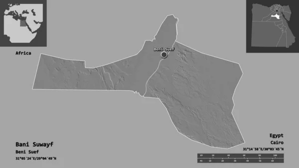
Shape of Bani Suwayf, governorate of Egypt, and its capital. Distance scale, previews and labels. Bilevel elevation map. 3D rendering
Shape Bani Suwayf Governorate Egypt Its Capital Distance Scale Previews — Stock Photo, Image
Shape of Al Wusta, region of Oman, and its capital. Distance scale, previews and labels. Composition of regularly patterned textures. 3D rendering
Shape Wusta Region Oman Its Capital Distance Scale Previews Labels — Stock Photo, Image
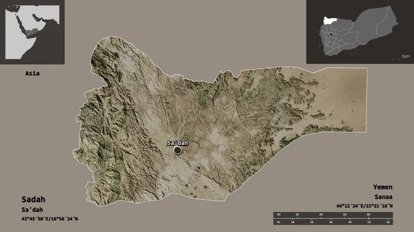
Shape of Sadah, governorate of Yemen, and its capital. Distance scale, previews and labels. Satellite imagery. 3D rendering
Shape Sadah Governorate Yemen Its Capital Distance Scale Previews Labels — Stock Photo, Image
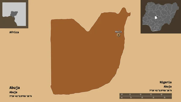
Shape of Abuja, federal capital territory of Nigeria, and its capital. Distance scale, previews and labels. Composition of regularly patterned textures. 3D rendering
Shape Abuja Federal Capital Territory Nigeria Its Capital Distance Scale — Stock Photo, Image
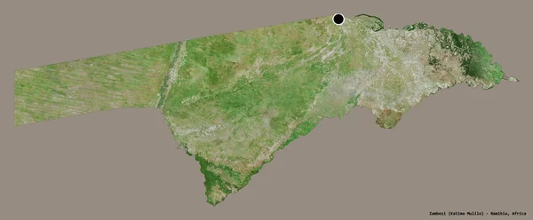
Shape of Zambezi, region of Namibia, with its capital isolated on a solid color background. Satellite imagery. 3D rendering
Shape Zambezi Region Namibia Its Capital Isolated Solid Color Background — Stock Photo, Image
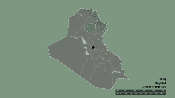
Desaturated shape of Iraq with its capital, main regional division and the separated Wasit area. Labels. Colored elevation map. 3D rendering
Desaturated Shape Iraq Its Capital Main Regional Division Separated Wasit — Stock Photo, Image
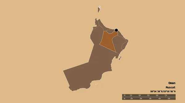
Desaturated shape of Oman with its capital, main regional division and the separated Ad Dakhliyah area. Labels. Composition of regularly patterned textures. 3D rendering
Desaturated Shape Oman Its Capital Main Regional Division Separated Dakhliyah — Stock Photo, Image
Shape of Al Jawf, region of Saudi Arabia, and its capital. Distance scale, previews and labels. Bilevel elevation map. 3D rendering
Shape Jawf Region Saudi Arabia Its Capital Distance Scale Previews — Stock Photo, Image
Al Buhayrah, governorate of Egypt. Elevation map colored in sepia tones with lakes and rivers. Corner auxiliary location maps
Buhayrah Governorate Egypt Elevation Map Colored Sepia Tones Lakes Rivers — Stock Photo, Image
Desaturated shape of Iraq with its capital, main regional division and the separated At-Ta'mim area. Labels. Colored elevation map. 3D rendering
Desaturated Shape Iraq Its Capital Main Regional Division Separated Mim — Stock Photo, Image
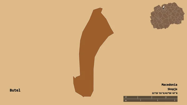
Shape of Butel, municipality of Macedonia, with its capital isolated on solid background. Distance scale, region preview and labels. Composition of regularly patterned textures. 3D rendering
Shape Butel Municipality Macedonia Its Capital Isolated Solid Background Distance — Stock Photo, Image
Ali Sabieh, region of Djibouti. Colored elevation map with lakes and rivers. Locations of major cities of the region. Corner auxiliary location maps
Ali Sabieh Region Djibouti Colored Elevation Map Lakes Rivers Locations — Stock Photo, Image
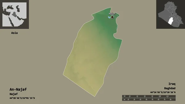
Shape of An-Najaf, province of Iraq, and its capital. Distance scale, previews and labels. Topographic relief map. 3D rendering
Shape Najaf Province Iraq Its Capital Distance Scale Previews Labels — Stock Photo, Image
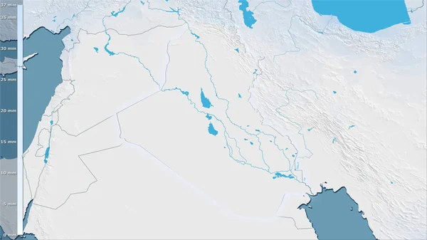
Precipitation of driest month within the Iraq area in the stereographic projection with legend - raw composition of raster layers with light glowing outline
Precipitation Driest Month Iraq Area Stereographic Projection Legend Raw Composition — Stock Photo, Image
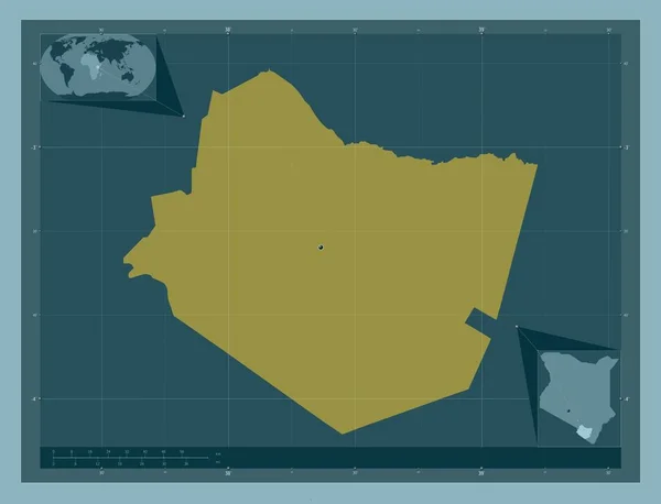
Taita Taveta, county of Kenya. Solid color shape. Corner auxiliary location maps
Taita Taveta County Kenya Solid Color Shape Corner Auxiliary Location — Stock Photo, Image
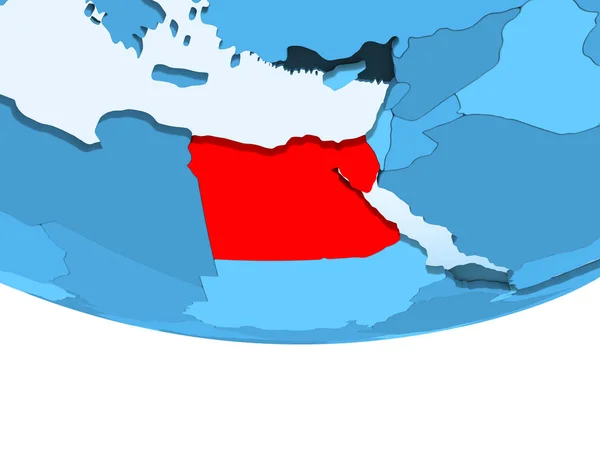
Illustration of Egypt highlighted in red on blue globe with transparent oceans. 3D illustration.
Illustration Egypt Highlighted Red Blue Globe Transparent Oceans Illustration — Stock Photo, Image
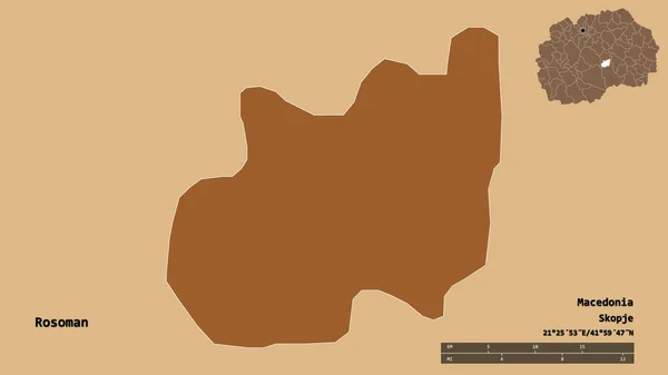
Shape of Rosoman, municipality of Macedonia, with its capital isolated on solid background. Distance scale, region preview and labels. Composition of regularly patterned textures. 3D rendering
Shape Rosoman Municipality Macedonia Its Capital Isolated Solid Background Distance — Stock Photo, Image
Eritrea on political globe with embedded flag. 3D illustration.
Eritrea Political Globe Embedded Flag Illustration — Stock Photo, Image
Hormozgan, province of Iran. Low resolution satellite map. Locations of major cities of the region. Corner auxiliary location maps
Hormozgan Province Iran Low Resolution Satellite Map Locations Major Cities — Stock Photo, Image
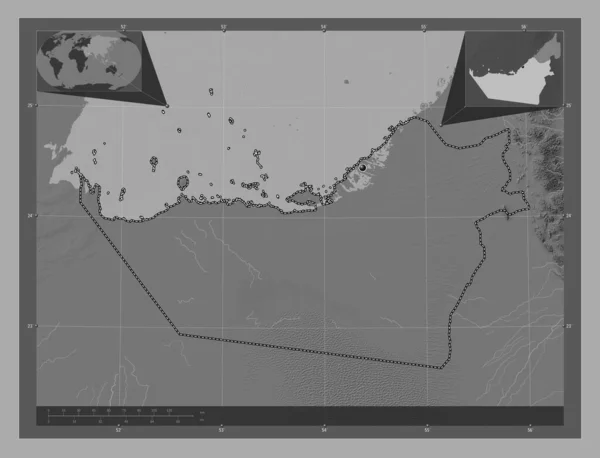
Abu Dhabi, emirate of United Arab Emirates. Bilevel elevation map with lakes and rivers. Corner auxiliary location maps
Abu Dhabi Emirate United Arab Emirates Bilevel Elevation Map Lakes — Stock Photo, Image
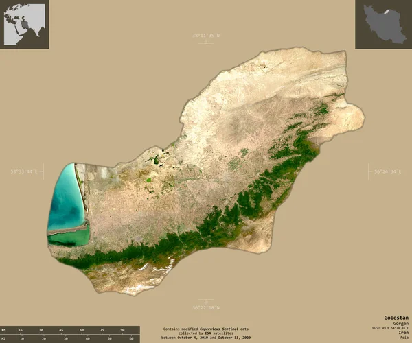
Golestan, province of Iran. Sentinel-2 satellite imagery. Shape isolated on solid background with informative overlays. Contains modified Copernicus Sentinel data
Golestan Province Iran Sentinel Satellite Imagery Shape Isolated Solid Background — Stock Photo, Image
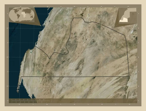
Aousserd, province of Western Sahara. High resolution satellite map. Locations and names of major cities of the region. Corner auxiliary location maps
Aousserd Province Western Sahara High Resolution Satellite Map Locations Names — Stock Photo, Image
Aousserd, province of Western Sahara. High resolution satellite map. Locations and names of major cities of the region. Corner auxiliary location maps
Aousserd Province Western Sahara High Resolution Satellite Map Locations Names — Stock Photo, Image
Desaturated shape of Oman with its capital, main regional division and the separated Ash Sharqiyah North area. Labels. Composition of regularly patterned textures. 3D rendering
Desaturated Shape Oman Its Capital Main Regional Division Separated Ash — Stock Photo, Image
Desaturated shape of Iraq with its capital, main regional division and the separated Sala ad-Din area. Labels. Colored elevation map. 3D rendering
Desaturated Shape Iraq Its Capital Main Regional Division Separated Sala — Stock Photo, Image
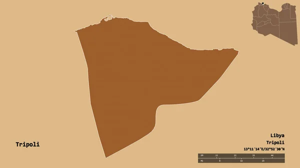
Shape of Tripoli, district of Libya, with its capital isolated on solid background. Distance scale, region preview and labels. Composition of patterned textures. 3D rendering
Shape Tripoli District Libya Its Capital Isolated Solid Background Distance — Stock Photo, Image
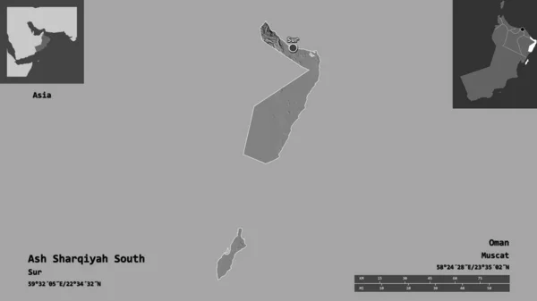
Shape of Ash Sharqiyah South, region of Oman, and its capital. Distance scale, previews and labels. Bilevel elevation map. 3D rendering
Shape Ash Sharqiyah South Region Oman Its Capital Distance Scale — Stock Photo, Image
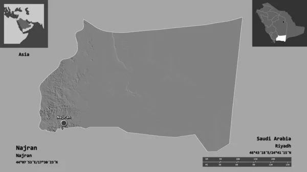
Shape of Najran, region of Saudi Arabia, and its capital. Distance scale, previews and labels. Bilevel elevation map. 3D rendering
Shape Najran Region Saudi Arabia Its Capital Distance Scale Previews — Stock Photo, Image
Lebanon with embedded national flag on blue political globe. 3D illustration.
Lebanon Embedded National Flag Blue Political Globe Illustration — Stock Photo, Image
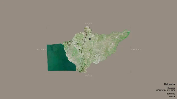
Area of Makamba, province of Burundi, isolated on a solid background in a georeferenced bounding box. Labels. Satellite imagery. 3D rendering
Area Makamba Province Burundi Isolated Solid Background Georeferenced Bounding Box — Stock Photo, Image
Flag of United Arab Emirates on political globe
Flag of United Arab Emirates on political globe — Stock Photo, Image
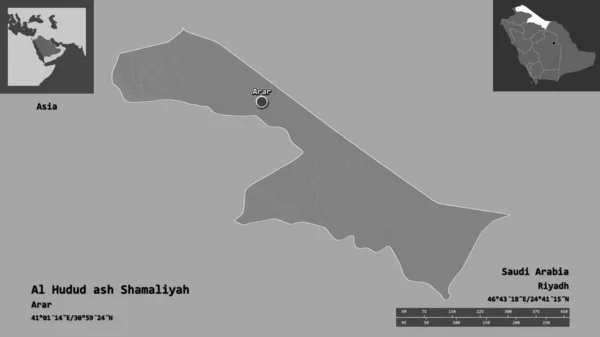
Shape of Al Hudud ash Shamaliyah, region of Saudi Arabia, and its capital. Distance scale, previews and labels. Bilevel elevation map. 3D rendering
Shape Hudud Ash Shamaliyah Region Saudi Arabia Its Capital Distance — Stock Photo, Image
Saudi Arabia on globe
Saudi Arabia on globe — Stock Photo, Image

Explore Saudi Arabia Map Images for Your Projects

When it comes to creating impactful visuals for your projects, the right choice of images can make all the difference. That's why we offer a wide range of stunning Saudi Arabia map images, available in high-quality formats such as JPG, AI, and EPS. Whether you're working on a presentation, website design, or promotional material, our collection of stock images is sure to meet your needs.

The Power of Saudi Arabia Map Images

Our Saudi Arabia map images are not just visually appealing but also serve various purposes. From educational materials to tourism campaigns, these images are versatile and can be used in a multitude of projects. Whether you want to highlight key locations, showcase regional divisions, or simply add context to your visuals, our maps are the perfect choice.

By incorporating Saudi Arabia map images into your presentations or reports, you can enhance understanding and engagement. Visual representations of geographical information have proven to be more effective in conveying complex data compared to text alone. With our high-resolution maps, you can captivate your audience and make a lasting impression.

Choosing the Right Saudi Arabia Map Image

When selecting the perfect Saudi Arabia map image for your project, it's important to consider the purpose and target audience. Are you creating a travel brochure? Opt for a colorful and detailed map that highlights popular landmarks and attractions. If you're designing an infographic for an educational institution, choose a map that clearly shows regional divisions and city names.
Additionally, it's crucial to choose an image format that suits your specific requirements. If you plan to make extensive edits or need a scalable design, our AI and EPS formats are ideal choices. On the other hand, if you simply need a ready-to-use image, our high-quality JPG files are the way to go. The flexibility of these formats ensures that you have complete control over your visuals.

Unlock the Potential of Saudi Arabia Map Images

Our Saudi Arabia map images can be utilized across a range of projects and industries. Tourism agencies can incorporate these visuals to promote the country's diverse landscapes and historical sites. Educational institutions can use them to teach students about Saudi Arabia's geography and cultural heritage. Architects and urban planners can integrate these maps into their presentations to showcase proposed developments and infrastructure plans.

Moreover, our images are not limited to digital use. They can be utilized in print materials such as brochures, posters, and flyers, allowing you to reach a wider audience. By utilizing our high-quality stock images, you can effectively communicate your message and leave a lasting impression on your clients, colleagues, or target market.

Don't settle for generic visuals. Choose from our collection of Saudi Arabia map images and elevate your projects to new heights. With their stunning visuals and versatile applications, these images are sure to make an impact and help you achieve your desired outcomes.