North america map Stock Photos

100,000 North america map pictures are available under a royalty-free license

  • Best Match
  • Fresh
  • Popular
1-100 of 100,000
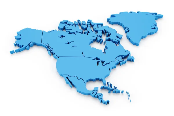
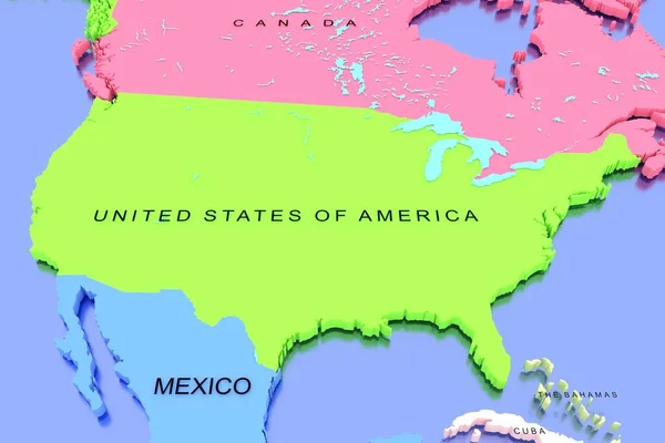
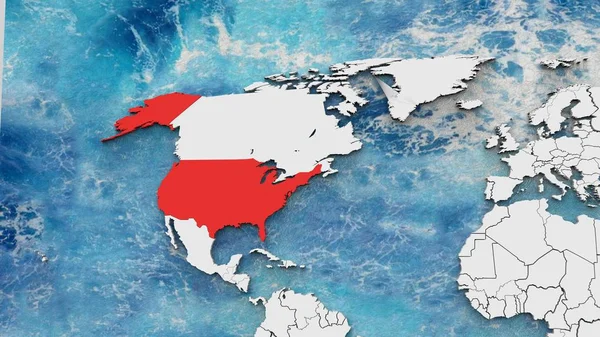
Extruded map of north america with national borders
Extruded map of north america with national borders — Stock Photo, Image
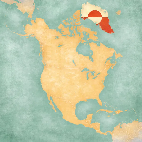
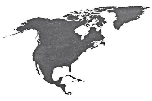
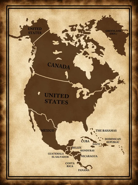
Map of North America - Greenland (Vintage Series)
Map of North America - Greenland (Vintage Series) — Stock Photo, Image
Glass globe
Glass globe — Stock Photo, Image
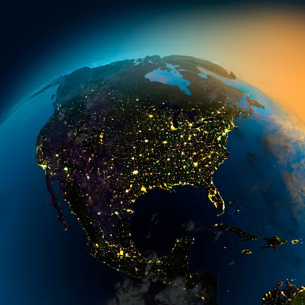
Night view of North America from the satellite
Night view of North America from the satellite — Stock Photo, Image
US Map
US Map — Stock Photo, Image
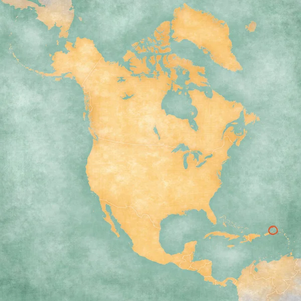
Map of North America - British Virgin Islands
Map of North America - British Virgin Islands — Stock Photo, Image
Colour map
Colour map — Stock Photo, Image
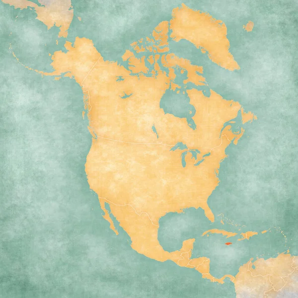
Map of North America - Jamaica
Map of North America - Jamaica — Stock Photo, Image
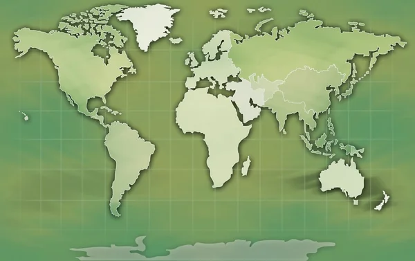
Map of the world
Map of the world — Stock Photo, Image
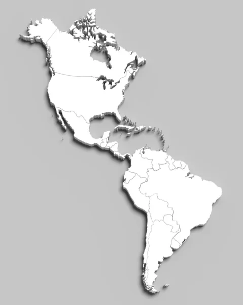
3d white map of south and north american countries on grey
3d white map of south and north american countries on grey — Stock Photo, Image
Map of south and north america with countries
Map of south and north america with countries — Stock Photo, Image
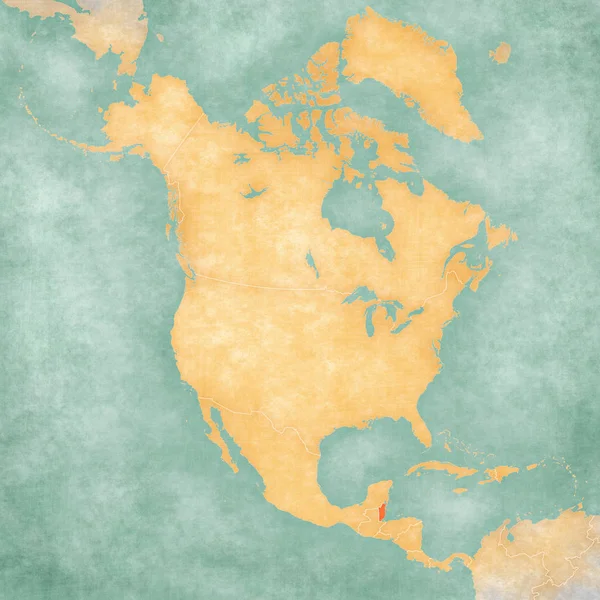
Belize on the map of North America in soft grunge and vintage style, like old paper with watercolor painting.
Belize Map North America Soft Grunge Vintage Style Old Paper — Stock Photo, Image
World Map Vintage sepia Illustration
World Map Vintage sepia Illustration — Stock Photo, Image
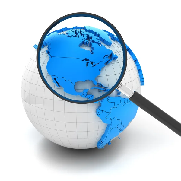
Globe with magnifying glass over north america and USA
Globe with magnifying glass over north america and USA — Stock Photo, Image
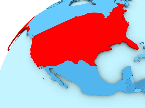
USA on blue globe
USA on blue globe — Stock Photo, Image
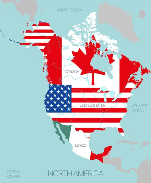
Map of the world with the flag of the united states of america
Map World Flag United States America — Stock Photo, Image
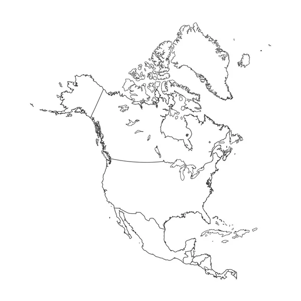
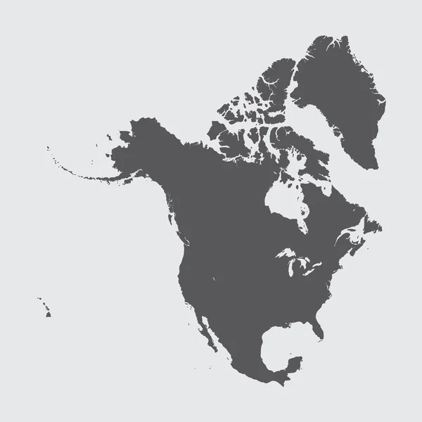
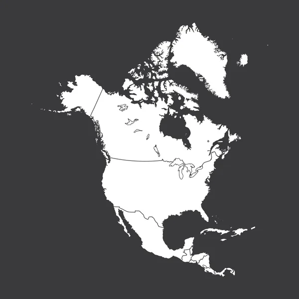
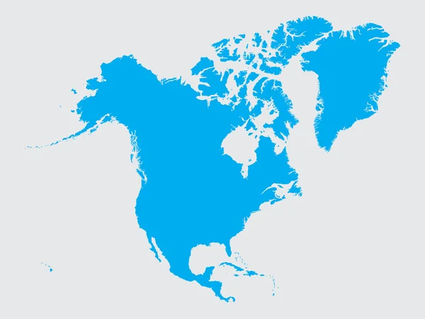
Outline on clean background of the continent of North America
Outline on clean background of the continent of North America — Stock Photo, Image
Squared Paper with the Shape of the Country of Finland
Squared Paper with the Shape of the Country of  Finland — Stock Photo, Image
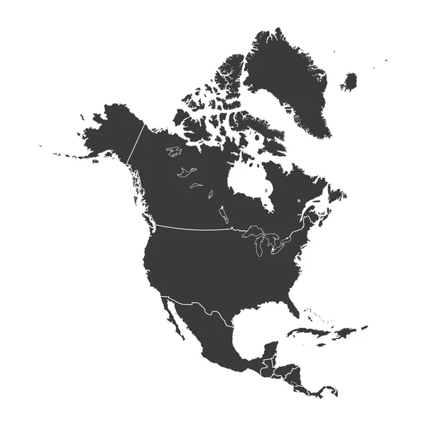
Outline on clean background of the continent of North America
Outline on clean background of the continent of North America — Stock Photo, Image
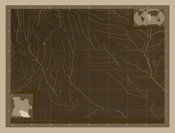
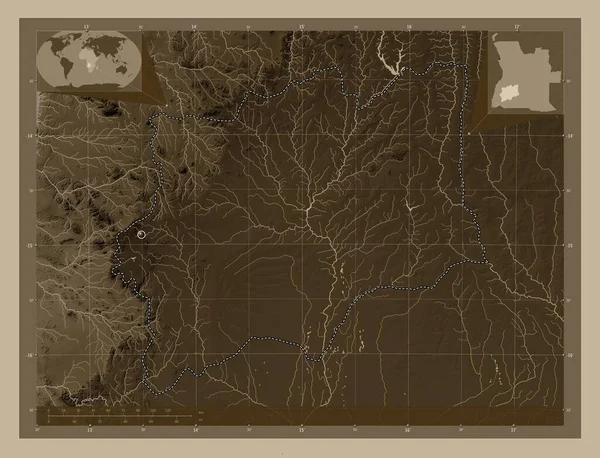
Cuando Cubango, province of Angola. Elevation map colored in sepia tones with lakes and rivers. Locations of major cities of the region. Corner auxiliary location maps
Cuando Cubango Province Angola Elevation Map Colored Sepia Tones Lakes — Stock Photo, Image
North America illustration. Mainland illustration with text.
North America Illustration Mainland Illustration Text — Stock Photo, Image
Shape of the Continent of North America
Shape of the Continent of  North America — Stock Photo, Image
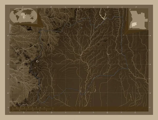
Cuando Cubango, province of Angola. Elevation map colored in sepia tones with lakes and rivers. Corner auxiliary location maps
Cuando Cubango Province Angola Elevation Map Colored Sepia Tones Lakes — Stock Photo, Image
Polygonal Wire Frame Mesh High Detail Raster Map of North America V2 Abstractions
Polygonal Wire Frame Mesh High Detail Raster Map of North America V2 Abstractions — Stock Photo, Image
NAFTA memeber states on globe. 3D illustration.
Nafta Memeber States Globe Illustration — Stock Photo, Image
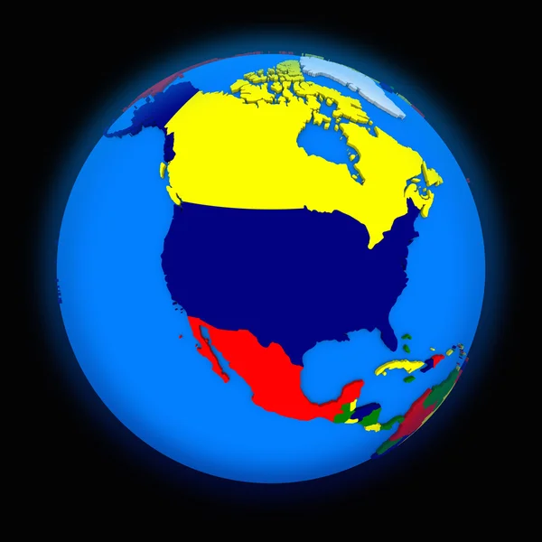
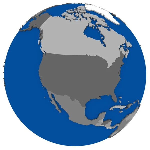
North America on political Earth
North America on political Earth — Stock Photo, Image
Map 3D Earth with forms and colors
Map 3D Earth with forms and colors — Stock Photo, Image
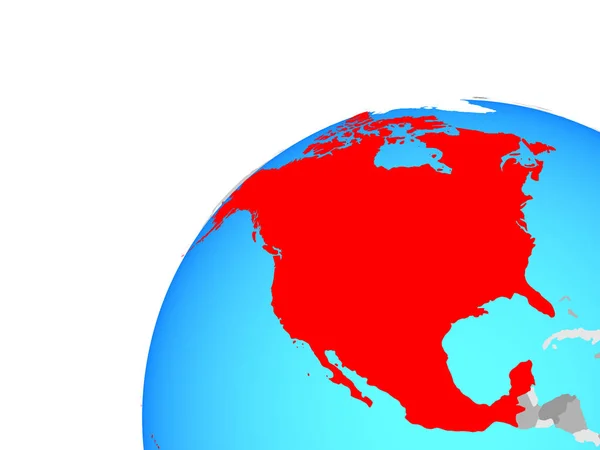
North America on simple globe. 3D illustration.
North America Simple Globe Illustration — Stock Photo, Image
Polygonal Network Mesh High Detail Raster Map of South and North America Abstractions
Polygonal Network Mesh High Detail Raster Map of South and North America Abstractions — Stock Photo, Image
Shape of the Continent of North America
Shape of the Continent of  North America — Stock Photo, Image
The continent of North Am
The continent of North Am — Stock Photo, Image
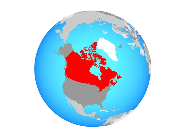
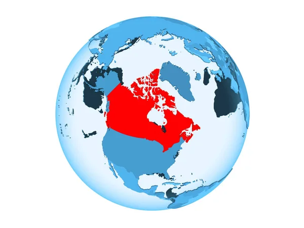
Canada highlighted in red on blue political globe with transparent oceans. 3D illustration isolated on white background.
Canada Highlighted Red Blue Political Globe Transparent Oceans Illustration Isolated — Stock Photo, Image
Shape of the Continent of North America
Shape of the Continent of  North America — Stock Photo, Image
El Salvador on globe isolated
El Salvador on globe isolated — Stock Photo, Image
El Salvador on globe isolated
El Salvador on globe isolated — Stock Photo, Image
Moxico, province of Angola. Elevation map colored in sepia tones with lakes and rivers. Locations of major cities of the region. Corner auxiliary location maps
Moxico Province Angola Elevation Map Colored Sepia Tones Lakes Rivers — Stock Photo, Image
USA on grey political globe
USA on grey political globe — Stock Photo, Image
Coyote America
Coyote America — Stock Photo, Image
Shape of the Continent of North America
Shape of the Continent of  North America — Stock Photo, Image
World map raster isolated on white background. Flat Earth, map template for web site pattern, anual report, inphographics. Globe similar worldmap icon. Travel worldwide, map backdrop
World map raster isolated on white background. Flat Earth, map template for web site pattern, anual report, inphographics. Globe similar worldmap icon. Travel worldwide, map backdrop — Stock Photo, Image
Three dimensional rendered map of North America with country names
Three Dimensional Rendered Map North America Country Names — Stock Photo, Image
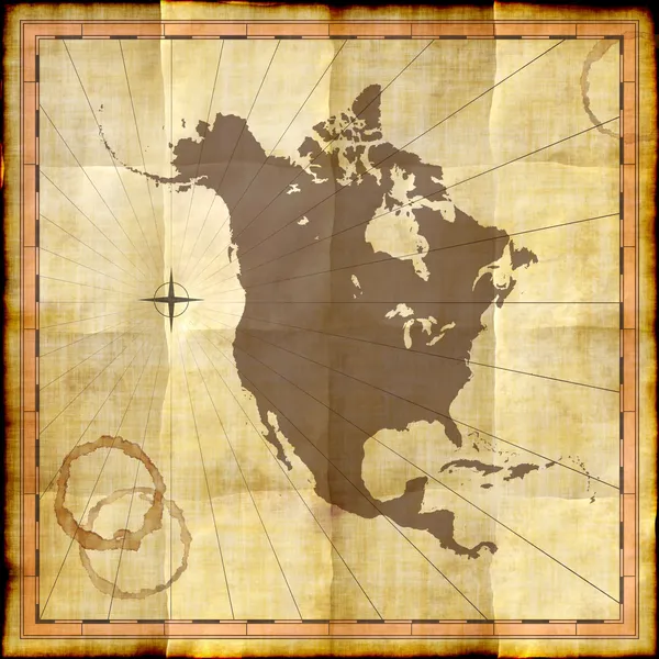
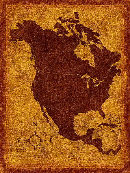
North America map on old paper with coffee stains
North America map on old paper with coffee stains — Stock Photo, Image
Southern Savonia, region of Finland. Colored elevation map with lakes and rivers. Corner auxiliary location maps
Southern Savonia Region Finland Colored Elevation Map Lakes Rivers Corner — Stock Photo, Image
North America on Earth political map
North America on Earth political map — Stock Photo, Image
Map of north america
Map of north america — Stock Photo, Image
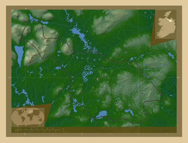
Cavan, county of Ireland. Colored elevation map with lakes and rivers. Locations of major cities of the region. Corner auxiliary location maps
Cavan County Ireland Colored Elevation Map Lakes Rivers Locations Major — Stock Photo, Image
Canada on metallic globe with blue oceans
Canada on metallic globe with blue oceans — Stock Photo, Image
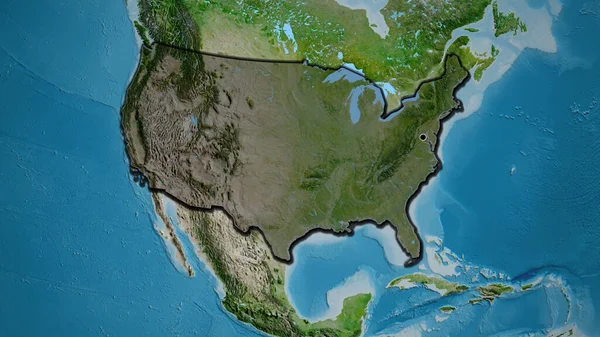
Close-up of the United States of America border area highlighting with a dark overlay on a satellite map. Capital point. Bevelled edges of the country shape.
Close United States America Border Area Highlighting Dark Overlay Satellite — Stock Photo, Image
Outline on clean background of the continent of North America
Outline on clean background of the continent of North America — Stock Photo, Image
Map of North America
Map of North America — Stock Photo, Image
Set of Infographic Elements for the Country of NorthAmerica
Set of Infographic Elements for the Country of NorthAmerica — Stock Photo, Image
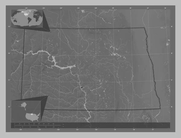
North Dakota, state of United States of America. Grayscale elevation map with lakes and rivers. Corner auxiliary location maps
North Dakota State United States America Grayscale Elevation Map Lakes — Stock Photo, Image
World Map Illustration
World Map Illustration — Stock Photo, Image
Bremen, state of Germany. Elevation map colored in wiki style with lakes and rivers. Locations of major cities of the region. Corner auxiliary location maps
Bremen State Germany Elevation Map Colored Wiki Style Lakes Rivers — Stock Photo, Image
Map of the country of Russia
Map of the country of Russia — Stock Photo, Image
Map 3D isolate background
Map Isolate Background — Stock Photo, Image
Color map with countries as background
Color Map Countries Background — Stock Photo, Image
North America on Earth political map
North America on Earth political map — Stock Photo, Image
Southern Savonia, region of Finland. Colored elevation map with lakes and rivers. Locations of major cities of the region. Corner auxiliary location maps
Southern Savonia Region Finland Colored Elevation Map Lakes Rivers Locations — Stock Photo, Image
Map of North America
Map of North America — Stock Photo, Image
NAFTA memeber states with national flags on blue political 3D globe. 3D illustration.
Nafta Memeber States National Flags Blue Political Globe Illustration — Stock Photo, Image
Shape of the Continent of North America
Shape of the Continent of  North America — Stock Photo, Image
Huila, province of Angola. Elevation map colored in sepia tones with lakes and rivers. Locations of major cities of the region. Corner auxiliary location maps
Huila Province Angola Elevation Map Colored Sepia Tones Lakes Rivers — Stock Photo, Image
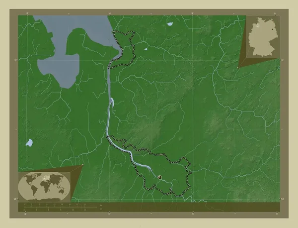
Bremen, state of Germany. Elevation map colored in wiki style with lakes and rivers. Corner auxiliary location maps
Bremen State Germany Elevation Map Colored Wiki Style Lakes Rivers — Stock Photo, Image
3D rendered map of COVID-19 virus pandemic with bright colors in USA
Rendered Map Covid Virus Pandemic Bright Colors Usa — Stock Photo, Image
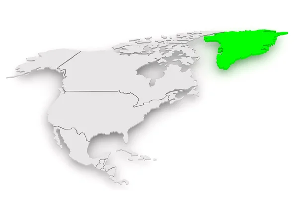
Map of worlds. Greenland.
Map of worlds. Greenland. — Stock Photo, Image
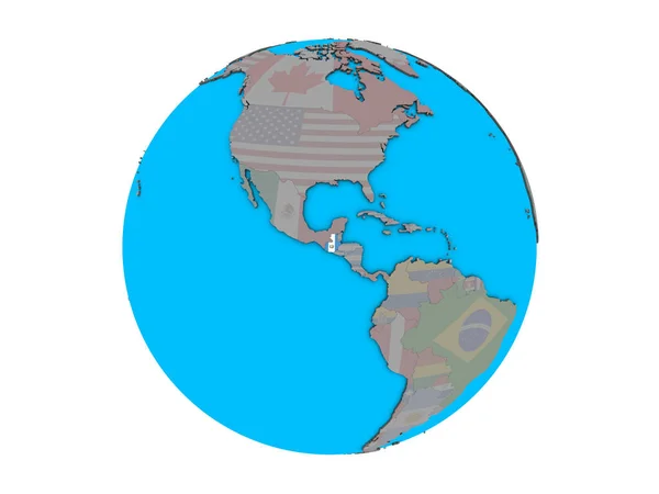
Guatemala with embedded national flag on blue political 3D globe. 3D illustration isolated on white background.
Guatemala Embedded National Flag Blue Political Globe Illustration Isolated White — Stock Photo, Image
USA on blue political globe
USA on blue political globe — Stock Photo, Image
Moxico, province of Angola. Elevation map colored in sepia tones with lakes and rivers. Corner auxiliary location maps
Moxico Province Angola Elevation Map Colored Sepia Tones Lakes Rivers — Stock Photo, Image
Canada on blue political globe. 3D illustration isolated on white background.
Canada Blue Political Globe Illustration Isolated White Background — Stock Photo, Image
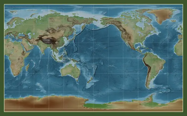
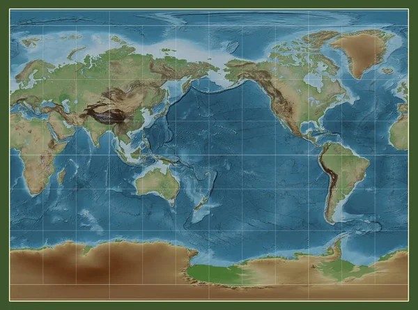
Colored elevation map of the world in the Compact Miller projection centered on the meridian 180 longitude
Colored Elevation Map World Compact Miller Projection Centered Meridian 180 — Stock Photo, Image
Colored elevation map of the world in the Miller Cylindrical projection centered on the meridian 180 longitude
Colored Elevation Map World Miller Cylindrical Projection Centered Meridian 180 — Stock Photo, Image
Huila, province of Angola. Elevation map colored in sepia tones with lakes and rivers. Corner auxiliary location maps
Huila Province Angola Elevation Map Colored Sepia Tones Lakes Rivers — Stock Photo, Image
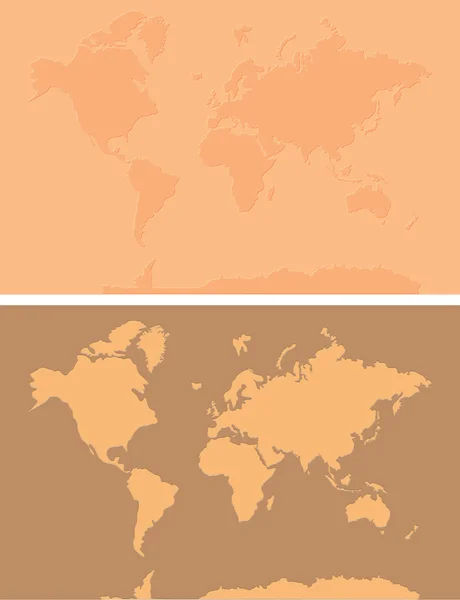
Abstract watercolor map of North America
Abstract Watercolor Map North America — Stock Photo, Image
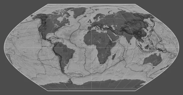
Tectonic plate boundaries on a bilevel map of the world in the Winkel I projection centered on the meridian 0 longitude
Tectonic Plate Boundaries Bilevel Map World Winkel Projection Centered Meridian — Stock Photo, Image
Old world map
Old world map — Stock Photo, Image
USA on globe
USA on globe — Stock Photo, Image
Map 3D isolate background
Map Isolate Background — Stock Photo, Image
Color map with countries as background
Color Map Countries Background — Stock Photo, Image
Al-Basrah, province of Iraq. Bilevel elevation map with lakes and rivers. Corner auxiliary location maps
Basrah Province Iraq Bilevel Elevation Map Lakes Rivers Corner Auxiliary — Stock Photo, Image
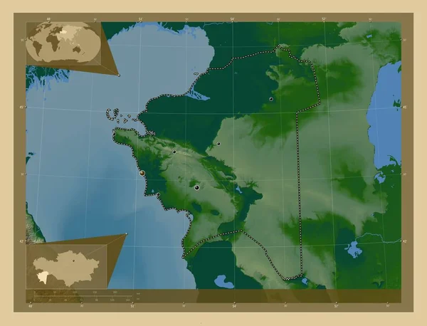
Mangghystau, region of Kazakhstan. Colored elevation map with lakes and rivers. Locations of major cities of the region. Corner auxiliary location maps
Mangghystau Region Kazakhstan Colored Elevation Map Lakes Rivers Locations Major — Stock Photo, Image
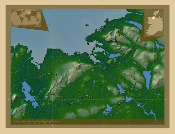
Sligo, county of Ireland. Colored elevation map with lakes and rivers. Locations of major cities of the region. Corner auxiliary location maps
Sligo County Ireland Colored Elevation Map Lakes Rivers Locations Major — Stock Photo, Image
World Map Illustration
World Map Illustration — Stock Photo, Image
Canada in red on grey model of political globe with transparent oceans. 3D illustration.
Canada Red Grey Model Political Globe Transparent Oceans Illustration — Stock Photo, Image
Southern Savonia, region of Finland. Colored elevation map with lakes and rivers. Locations and names of major cities of the region. Corner auxiliary location maps
Southern Savonia Region Finland Colored Elevation Map Lakes Rivers Locations — Stock Photo, Image
Shape of the Continent of North America
Shape of the Continent of  North America — Stock Photo, Image
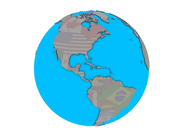
Jamaica with embedded national flag on blue political 3D globe. 3D illustration isolated on white background.
Jamaica Embedded National Flag Blue Political Globe Illustration Isolated White — Stock Photo, Image
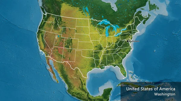
Close-up of the United States of America border area and its regional borders on a topographic map. Capital point. Outline around the country shape. English name of the country and its capital
Close United States America Border Area Its Regional Borders Topographic — Stock Photo, Image
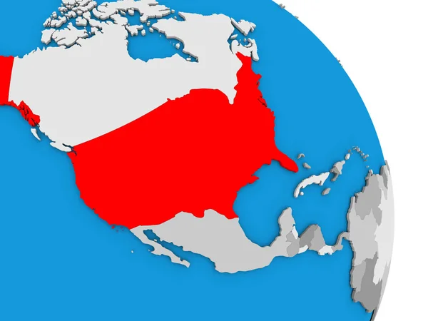
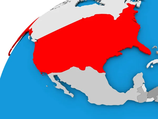
Map of USA in red
Map of USA in red — Stock Photo, Image
Shape of the Continent of North America
Shape of the Continent of  North America — Stock Photo, Image
Shape of the Continent of North America
Shape of the Continent of  North America — Stock Photo, Image
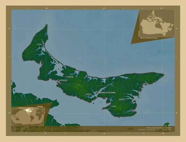
Prince Edward Island, province of Canada. Colored elevation map with lakes and rivers. Locations and names of major cities of the region. Corner auxiliary location maps
Prince Edward Island Province Canada Colored Elevation Map Lakes Rivers — Stock Photo, Image
Map of North America on old linen
Map of North America on old linen — Stock Photo, Image
Map of USA
Map of USA — Stock Photo, Image

North America Map Images for All Your Design Needs

When looking for the perfect visual to enhance your projects, maps have always been a reliable go-to. North America map images in particular offer a vast array of options, making them a popular choice for various types of design work. Whether you’re creating educational materials, brochures, or website graphics, the right map image can take your project to the next level.

Types of North America Map Images

There are different types of North America maps available for use in various design projects. Some of the most common include physical maps, showing the geography of the continent and its surrounding areas, and political maps, which show the different countries and territories within North America. Climate maps, road maps, and population density maps are other popular variations you can choose from.
Choosing the Right North America Map Image

When selecting an image, consider the purpose of the project and the message you want to convey. For example, if you’re creating an educational material for students to learn about geography, a physical map might be the best option to show the natural features of the continent. If you’re designing a travel brochure, a road map could be useful to illustrate different routes and destinations. Keep in mind the level of detail you need as well. High-resolution images work well for print materials, while lower resolution images are suitable for online use.

Where to Use North America Map Images

North America map images can be used in a multitude of settings, such as websites, social media graphics, posters, and infographics. They are also widely used in educational materials such as textbooks and handouts. These visuals can provide context and enhance a variety of content on different platforms.

Finding North America Map Images

There are many stock image websites where you can find a wide selection of North America map images. Look for images in common file formats, such as JPG, AI, or EPS - ideal for various types of design work. When choosing a stock image, always check the licensing agreement to ensure you’re using the image legally.

Overall, North America map images can be a reliable and versatile addition to any project. A thoughtful selection of a visually appealing image can help to streamline messages and make an impact on the visual storytelling of your project.