India map Stock Photos

100,000 India map pictures are available under a royalty-free license

  • Best Match
  • Fresh
  • Popular
1-100 of 100,000
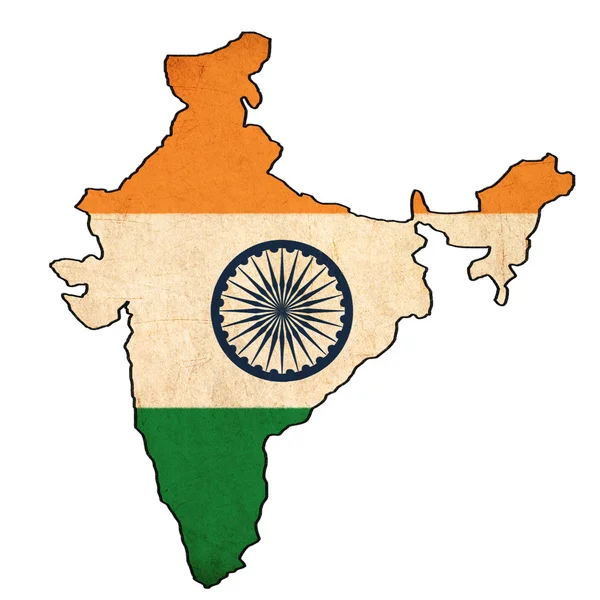
India map on India flag drawing ,grunge and retro flag series
India map on India flag drawing ,grunge and retro flag series — Stock Photo, Image
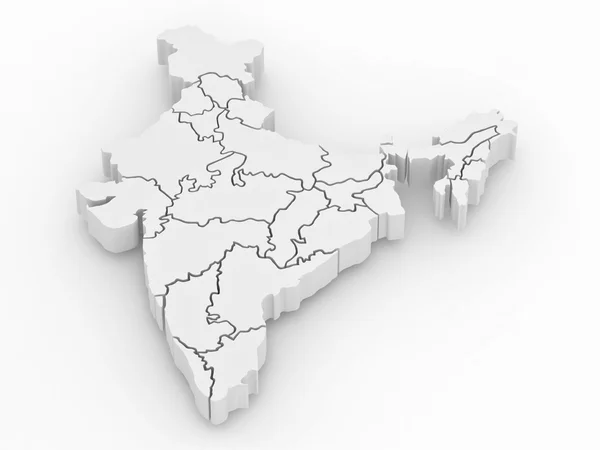
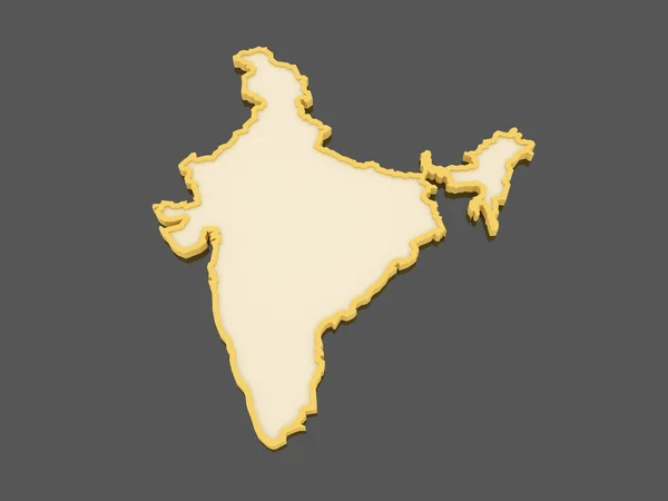
Three-dimensional map of India on white isolated background
Three-dimensional map of India on white isolated background — Stock Photo, Image
Taj Mahal India
Taj Mahal India — Stock Photo, Image
Digital India Concept, India Map with circuit lines on technology background, Map of India with electronic circuit, Technology Futuristic abstract background
Digital India Concept India Map Circuit Lines Technology Background Map — Stock Photo, Image
India map and currency
India map and currency — Stock Photo, Image
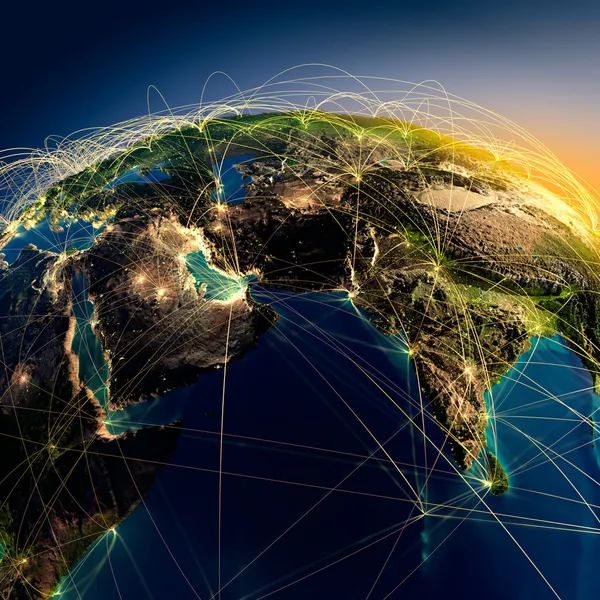
Main air routes in the Middle East and India
Main air routes in the Middle East and India — Stock Photo, Image
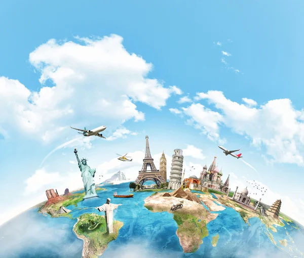
Travel the world monument concept
Travel the world monument concept — Stock Photo, Image
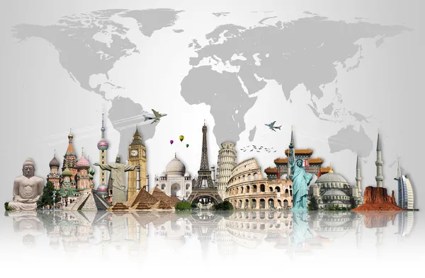
Travel the world monuments concept
Travel the world monuments concept — Stock Photo, Image
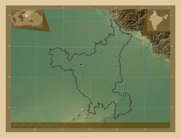
Haryana, state of India. Colored elevation map with lakes and rivers. Locations of major cities of the region. Corner auxiliary location maps
Haryana State India Colored Elevation Map Lakes Rivers Locations Major — Stock Photo, Image
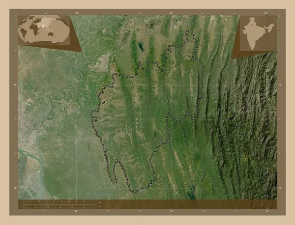
Tripura, state of India. Low resolution satellite map. Corner auxiliary location maps
Tripura State India Low Resolution Satellite Map Corner Auxiliary Location — Stock Photo, Image
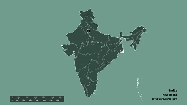
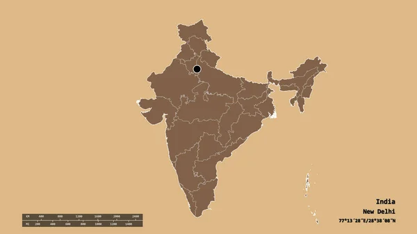
Desaturated shape of India with its capital, main regional division and the separated National Capital Territory of Delhi area. Labels. Colored elevation map. 3D rendering
Desaturated Shape India Its Capital Main Regional Division Separated National — Stock Photo, Image
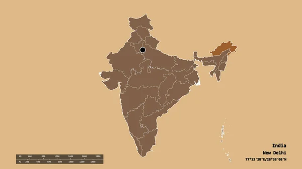
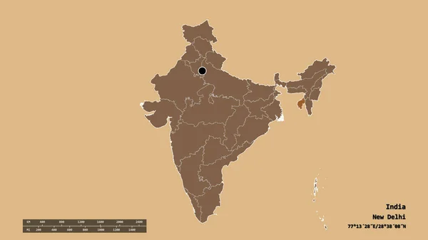
Desaturated shape of India with its capital, main regional division and the separated Arunachal Pradesh area. Labels. Composition of patterned textures. 3D rendering
Desaturated Shape India Its Capital Main Regional Division Separated Arunachal — Stock Photo, Image
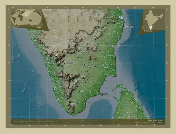
Tamil Nadu, state of India. Elevation map colored in wiki style with lakes and rivers. Locations and names of major cities of the region. Corner auxiliary location maps
Tamil Nadu State India Elevation Map Colored Wiki Style Lakes — Stock Photo, Image
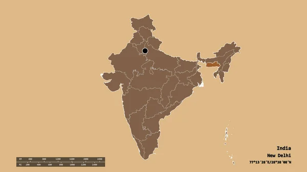
Desaturated shape of India with its capital, main regional division and the separated Assam area. Labels. Composition of patterned textures. 3D rendering
Desaturated Shape India Its Capital Main Regional Division Separated Assam — Stock Photo, Image
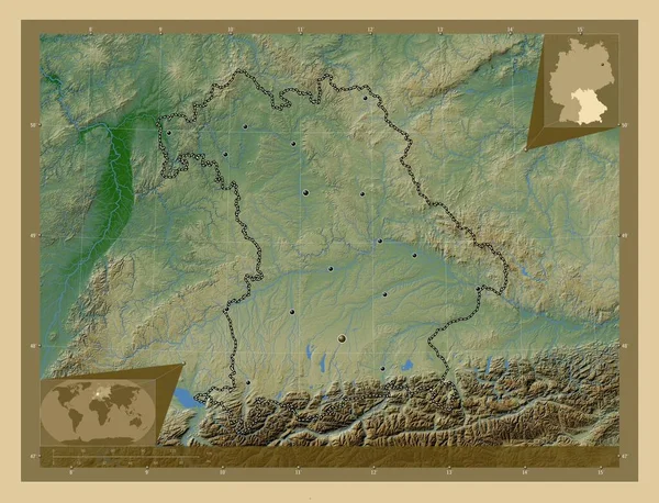
Bayern, region of Germany. Colored elevation map with lakes and rivers. Locations of major cities of the region. Corner auxiliary location maps
Bayern Region Germany Colored Elevation Map Lakes Rivers Locations Major — Stock Photo, Image
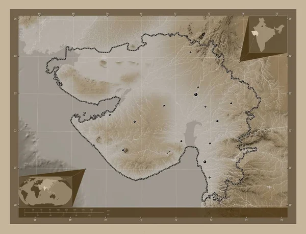
Gujarat, state of India. Elevation map colored in sepia tones with lakes and rivers. Locations of major cities of the region. Corner auxiliary location maps
Gujarat State India Elevation Map Colored Sepia Tones Lakes Rivers — Stock Photo, Image
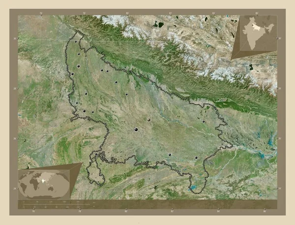
Uttar Pradesh, state of India. High resolution satellite map. Locations of major cities of the region. Corner auxiliary location maps
Uttar Pradesh State India High Resolution Satellite Map Locations Major — Stock Photo, Image
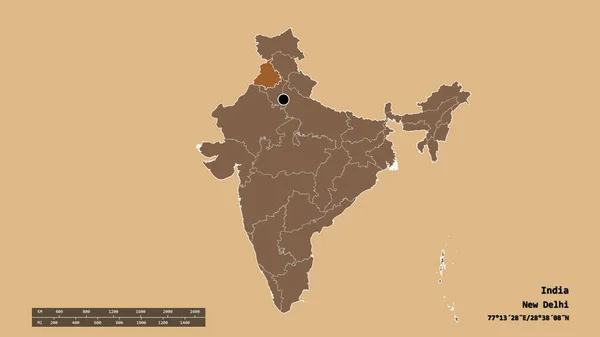
Desaturated shape of India with its capital, main regional division and the separated Punjab area. Labels. Composition of patterned textures. 3D rendering
Desaturated Shape India Its Capital Main Regional Division Separated Punjab — Stock Photo, Image
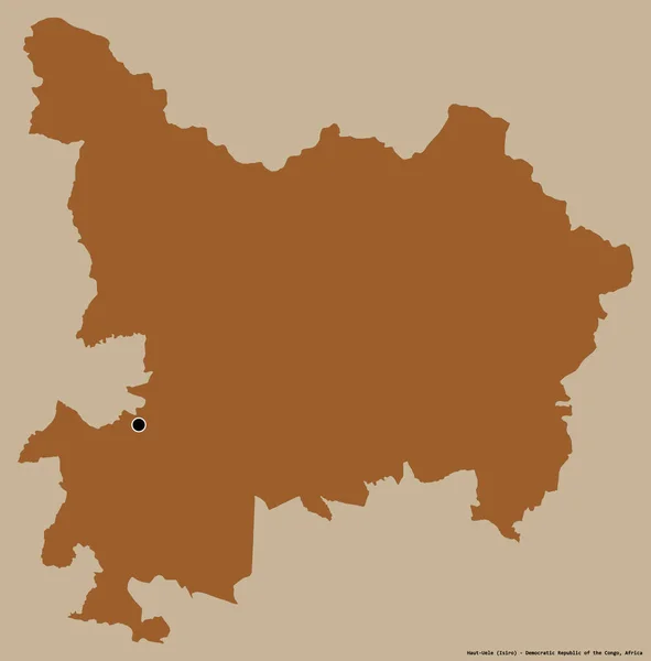
Shape of Haut-Uele, province of Democratic Republic of the Congo, with its capital isolated on a solid color background. Composition of patterned textures. 3D rendering
Shape Haut Uele Province Democratic Republic Congo Its Capital Isolated — Stock Photo, Image
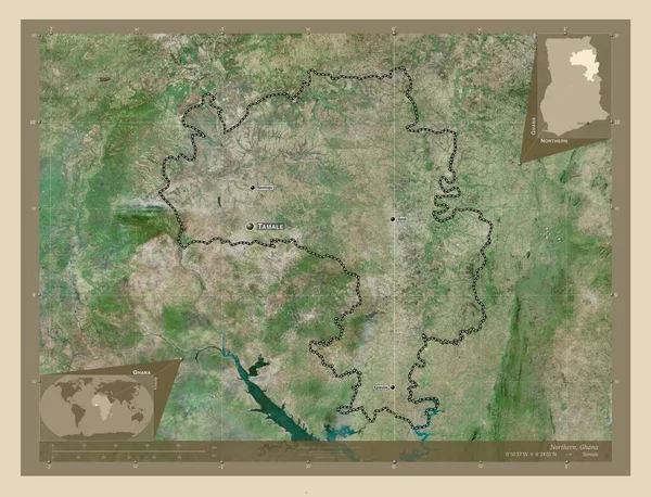
Northern, region of Ghana. High resolution satellite map. Locations and names of major cities of the region. Corner auxiliary location maps
Northern Region Ghana High Resolution Satellite Map Locations Names Major — Stock Photo, Image
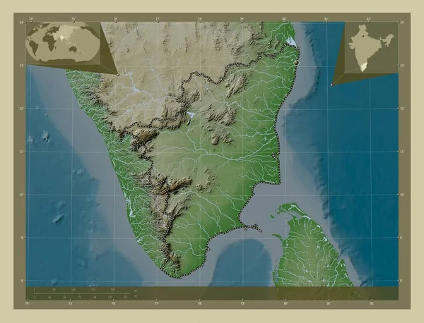
Tamil Nadu, state of India. Elevation map colored in wiki style with lakes and rivers. Corner auxiliary location maps
Tamil Nadu State India Elevation Map Colored Wiki Style Lakes — Stock Photo, Image
Polygonal 2D Mesh High Resolution Raster Map of Heilongjiang Province Abstractions
Polygonal 2D Mesh High Resolution Raster Map of Heilongjiang Province Abstractions — Stock Photo, Image
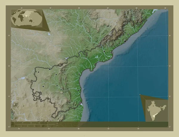
Andhra Pradesh, state of India. Elevation map colored in wiki style with lakes and rivers. Locations of major cities of the region. Corner auxiliary location maps
Andhra Pradesh State India Elevation Map Colored Wiki Style Lakes — Stock Photo, Image
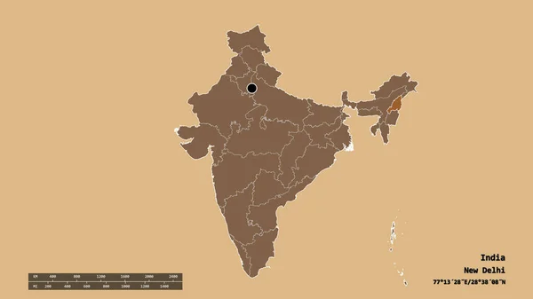
Desaturated shape of India with its capital, main regional division and the separated Nagaland area. Labels. Composition of patterned textures. 3D rendering
Desaturated Shape India Its Capital Main Regional Division Separated Nagaland — Stock Photo, Image
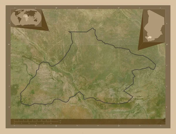
Tandjile, region of Chad. Low resolution satellite map. Corner auxiliary location maps
Tandjile Region Chad Low Resolution Satellite Map Corner Auxiliary Location — Stock Photo, Image
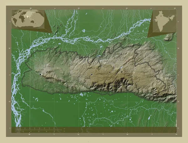
Meghalaya, state of India. Elevation map colored in wiki style with lakes and rivers. Corner auxiliary location maps
Meghalaya State India Elevation Map Colored Wiki Style Lakes Rivers — Stock Photo, Image
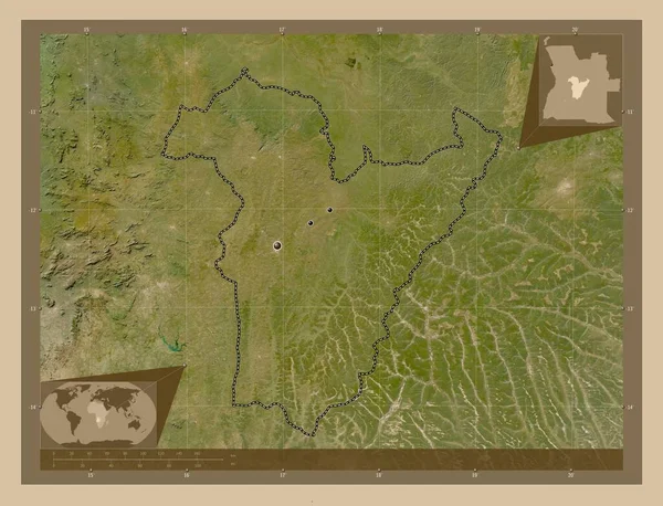
Bie, province of Angola. Low resolution satellite map. Locations of major cities of the region. Corner auxiliary location maps
Bie Province Angola Low Resolution Satellite Map Locations Major Cities — Stock Photo, Image
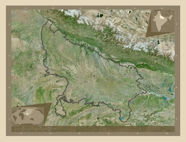
Uttar Pradesh, state of India. High resolution satellite map. Corner auxiliary location maps
Uttar Pradesh State India High Resolution Satellite Map Corner Auxiliary — Stock Photo, Image
Meghalaya, state of India. Elevation map colored in wiki style with lakes and rivers. Locations of major cities of the region. Corner auxiliary location maps
Meghalaya State India Elevation Map Colored Wiki Style Lakes Rivers — Stock Photo, Image
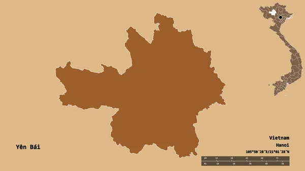
Shape of Yen Bai, province of Vietnam, with its capital isolated on solid background. Distance scale, region preview and labels. Composition of patterned textures. 3D rendering
Shape Yen Bai Province Vietnam Its Capital Isolated Solid Background — Stock Photo, Image
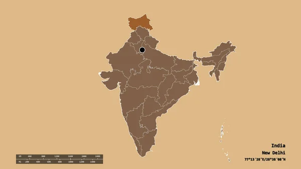
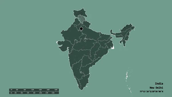
Desaturated shape of India with its capital, main regional division and the separated Jammu and Kashmir area. Labels. Composition of patterned textures. 3D rendering
Desaturated Shape India Its Capital Main Regional Division Separated Jammu — Stock Photo, Image
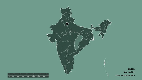
Desaturated shape of India with its capital, main regional division and the separated Chhattisgarh area. Labels. Colored elevation map. 3D rendering
Desaturated Shape India Its Capital Main Regional Division Separated Chhattisgarh — Stock Photo, Image
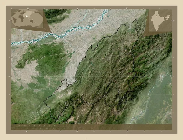
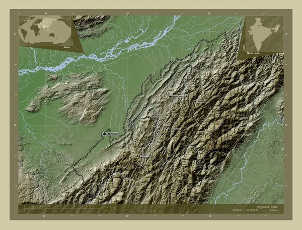
Nagaland, state of India. High resolution satellite map. Corner auxiliary location maps
Nagaland State India High Resolution Satellite Map Corner Auxiliary Location — Stock Photo, Image
Area of Mariy-El, republic of Russia, isolated on a solid background in a georeferenced bounding box. Labels. Composition of patterned textures. 3D rendering
Area Mariy Republic Russia Isolated Solid Background Georeferenced Bounding Box — Stock Photo, Image
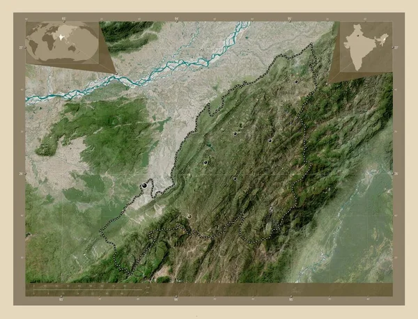
Nagaland, state of India. High resolution satellite map. Locations of major cities of the region. Corner auxiliary location maps
Nagaland State India High Resolution Satellite Map Locations Major Cities — Stock Photo, Image
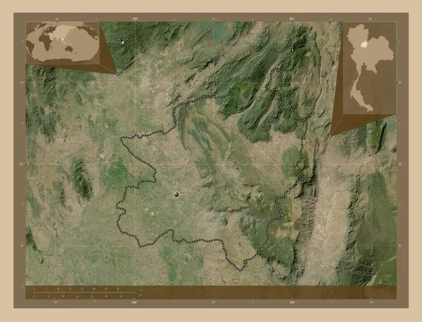
Phitsanulok, province of Thailand. Low resolution satellite map. Corner auxiliary location maps
Phitsanulok Province Thailand Low Resolution Satellite Map Corner Auxiliary Location — Stock Photo, Image
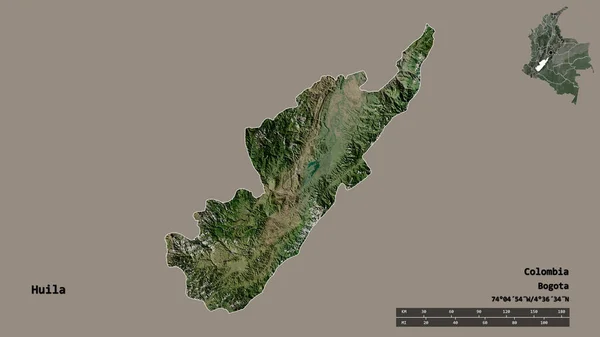
Shape of Huila, department of Colombia, with its capital isolated on solid background. Distance scale, region preview and labels. Satellite imagery. 3D rendering
Shape Huila Department Colombia Its Capital Isolated Solid Background Distance — Stock Photo, Image
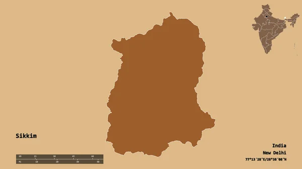
Shape of Sikkim, state of India, with its capital isolated on solid background. Distance scale, region preview and labels. Composition of patterned textures. 3D rendering
Shape Sikkim State India Its Capital Isolated Solid Background Distance — Stock Photo, Image
Icon Illustration with Four Color Variations
Icon Illustration with Four Color Variations — Stock Photo, Image
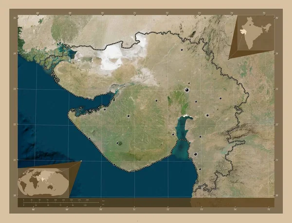
Gujarat, state of India. Low resolution satellite map. Locations of major cities of the region. Corner auxiliary location maps
Gujarat State India Low Resolution Satellite Map Locations Major Cities — Stock Photo, Image
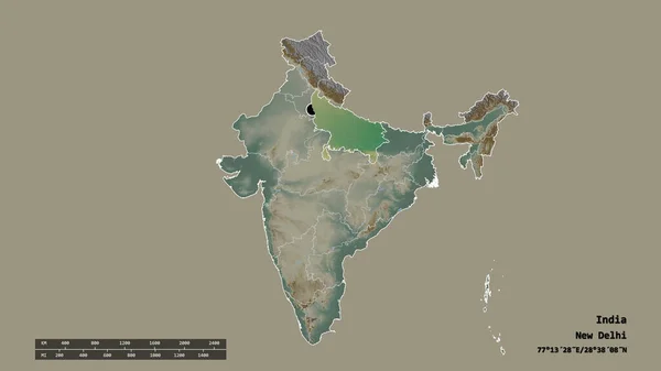
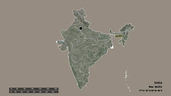
Desaturated shape of India with its capital, main regional division and the separated Uttar Pradesh area. Labels. Topographic relief map. 3D rendering
Desaturated Shape India Its Capital Main Regional Division Separated Uttar — Stock Photo, Image
Veneto, region of Italy. Colored elevation map with lakes and rivers. Corner auxiliary location maps
Veneto Region Italy Colored Elevation Map Lakes Rivers Corner Auxiliary — Stock Photo, Image
Desaturated shape of India with its capital, main regional division and the separated Manipur area. Labels. Composition of patterned textures. 3D rendering
Desaturated Shape India Its Capital Main Regional Division Separated Manipur — Stock Photo, Image
Desaturated shape of India with its capital, main regional division and the separated Goa area. Labels. Composition of patterned textures. 3D rendering
Desaturated Shape India Its Capital Main Regional Division Separated Goa — Stock Photo, Image
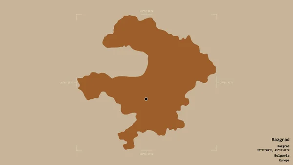
Area of Razgrad, province of Bulgaria, isolated on a solid background in a georeferenced bounding box. Labels. Composition of patterned textures. 3D rendering
Area Razgrad Province Bulgaria Isolated Solid Background Georeferenced Bounding Box — Stock Photo, Image
High detailed Outline of the country of Pakistan
High detailed Outline of the country of  Pakistan — Stock Photo, Image
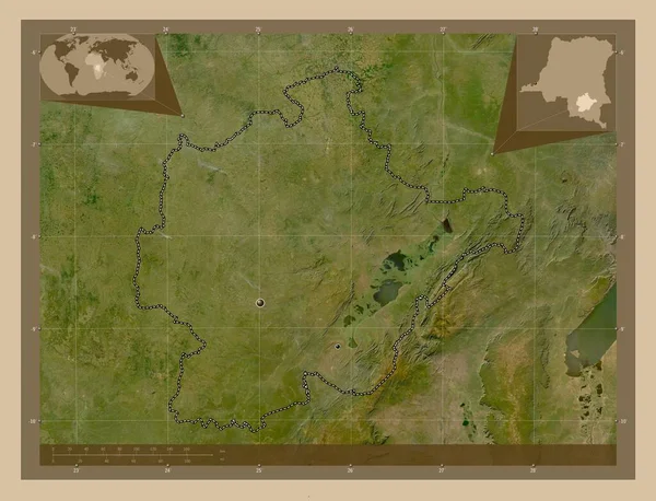
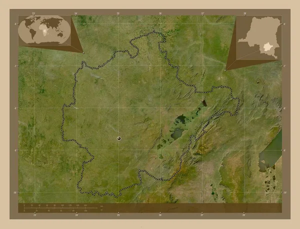
Haut-Lomami, province of Democratic Republic of the Congo. Low resolution satellite map. Locations of major cities of the region. Corner auxiliary location maps
Haut Lomami Province Democratic Republic Congo Low Resolution Satellite Map — Stock Photo, Image
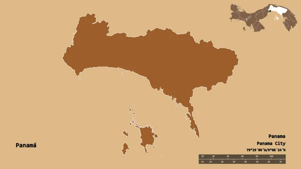
Shape of Panama, province of Panama, with its capital isolated on solid background. Distance scale, region preview and labels. Composition of regularly patterned textures. 3D rendering
Shape Panama Province Panama Its Capital Isolated Solid Background Distance — Stock Photo, Image
Shape of Ha'il, region of Saudi Arabia, with its capital isolated on solid background. Distance scale, region preview and labels. Colored elevation map. 3D rendering
Shape Region Saudi Arabia Its Capital Isolated Solid Background Distance — Stock Photo, Image
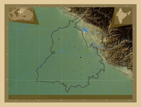
Punjab, state of India. Colored elevation map with lakes and rivers. Locations of major cities of the region. Corner auxiliary location maps
Punjab State India Colored Elevation Map Lakes Rivers Locations Major — Stock Photo, Image
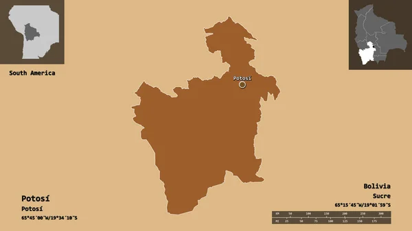
Shape of Potosi, department of Bolivia, and its capital. Distance scale, previews and labels. Composition of patterned textures. 3D rendering
Shape Potosi Department Bolivia Its Capital Distance Scale Previews Labels — Stock Photo, Image
Desaturated shape of India with its capital, main regional division and the separated Dadra and Nagar Haveli area. Labels. Composition of patterned textures. 3D rendering
Desaturated Shape India Its Capital Main Regional Division Separated Dadra — Stock Photo, Image
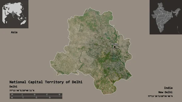
Shape of National Capital Territory of Delhi, union territory of India, and its capital. Distance scale, previews and labels. Satellite imagery. 3D rendering
Shape National Capital Territory Delhi Union Territory India Its Capital — Stock Photo, Image
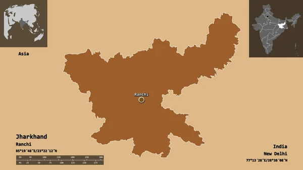
Shape of Jharkhand, state of India, and its capital. Distance scale, previews and labels. Composition of patterned textures. 3D rendering
Shape Jharkhand State India Its Capital Distance Scale Previews Labels — Stock Photo, Image
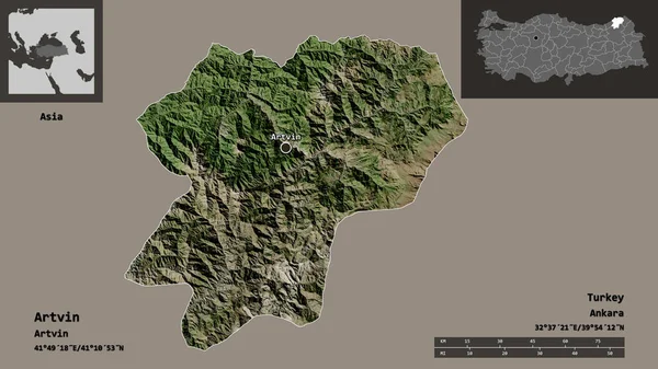
Shape of Artvin, province of Turkey, and its capital. Distance scale, previews and labels. Satellite imagery. 3D rendering
Shape Artvin Province Turkey Its Capital Distance Scale Previews Labels — Stock Photo, Image
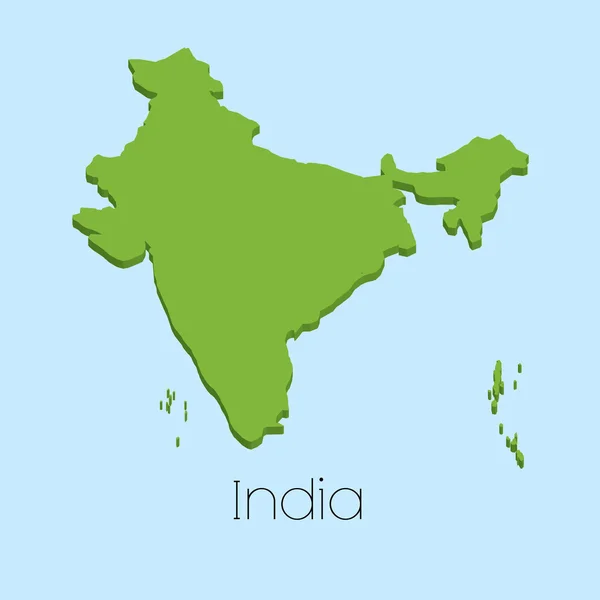
3D map on blue water background of India
3D map on blue water background of India — Stock Photo, Image
Desaturated shape of India with its capital, main regional division and the separated Jammu and Kashmir area. Labels. Colored elevation map. 3D rendering
Desaturated Shape India Its Capital Main Regional Division Separated Jammu — Stock Photo, Image
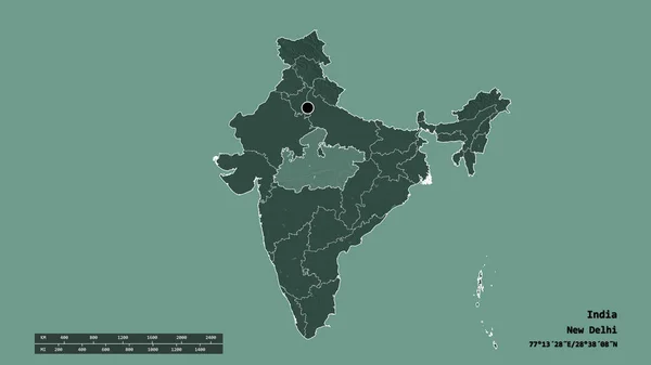
Desaturated shape of India with its capital, main regional division and the separated Madhya Pradesh area. Labels. Colored elevation map. 3D rendering
Desaturated Shape India Its Capital Main Regional Division Separated Madhya — Stock Photo, Image
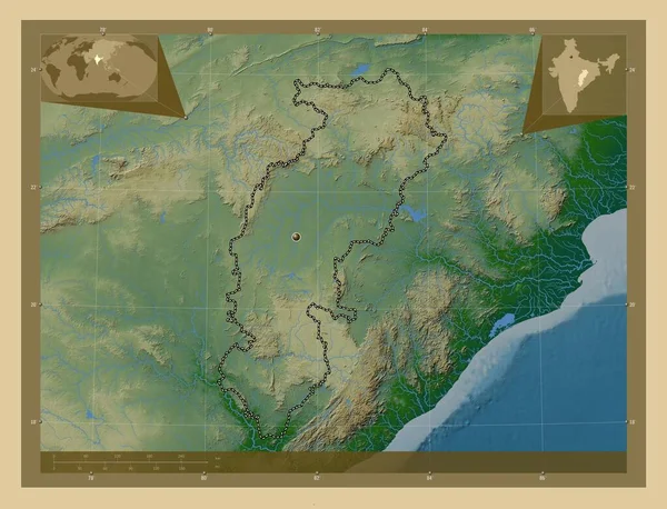
Chhattisgarh, state of India. Colored elevation map with lakes and rivers. Corner auxiliary location maps
Chhattisgarh State India Colored Elevation Map Lakes Rivers Corner Auxiliary — Stock Photo, Image
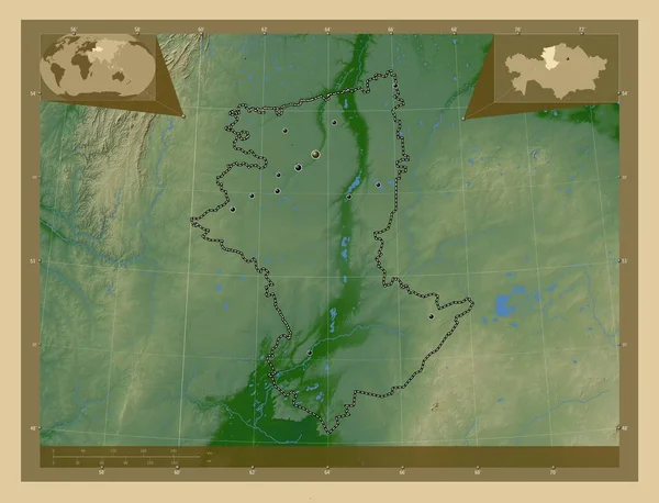
Qostanay, region of Kazakhstan. Colored elevation map with lakes and rivers. Locations of major cities of the region. Corner auxiliary location maps
Qostanay Region Kazakhstan Colored Elevation Map Lakes Rivers Locations Major — Stock Photo, Image
Map of India.
Map of India. — Stock Photo, Image
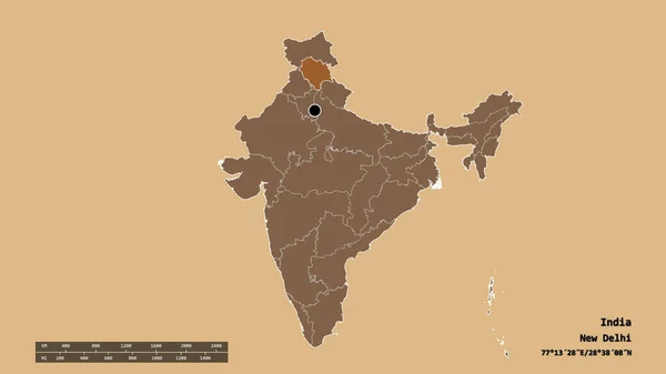
Desaturated shape of India with its capital, main regional division and the separated Himachal Pradesh area. Labels. Composition of patterned textures. 3D rendering
Desaturated Shape India Its Capital Main Regional Division Separated Himachal — Stock Photo, Image
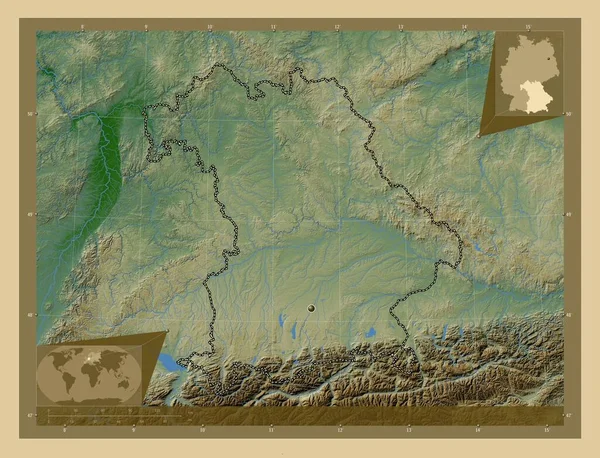
Bayern, region of Germany. Colored elevation map with lakes and rivers. Corner auxiliary location maps
Bayern Region Germany Colored Elevation Map Lakes Rivers Corner Auxiliary — Stock Photo, Image
Nagaland, state of India. Elevation map colored in wiki style with lakes and rivers. Locations and names of major cities of the region. Corner auxiliary location maps
Nagaland State India Elevation Map Colored Wiki Style Lakes Rivers — Stock Photo, Image
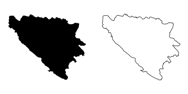
Map of the country of Bosnia
Map of the country of Bosnia — Stock Photo, Image
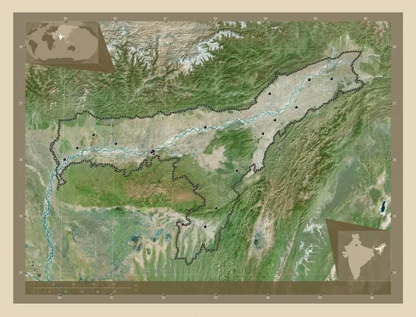
Assam, state of India. High resolution satellite map. Locations of major cities of the region. Corner auxiliary location maps
Assam State India High Resolution Satellite Map Locations Major Cities — Stock Photo, Image
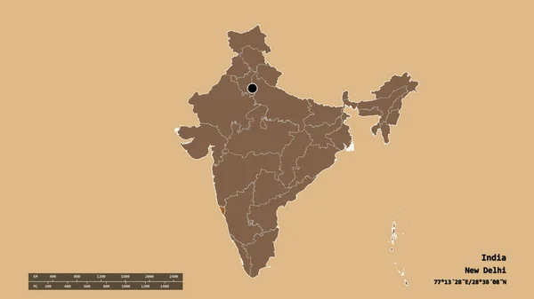
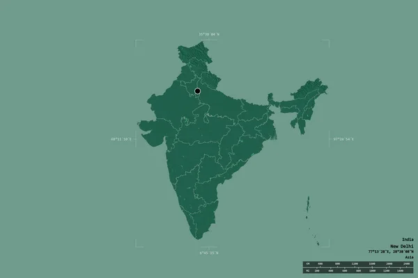
Area of India isolated on a solid background in a georeferenced bounding box. Main regional division, distance scale, labels. Colored elevation map. 3D rendering
Area India Isolated Solid Background Georeferenced Bounding Box Main Regional — Stock Photo, Image
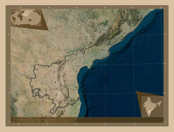
Andhra Pradesh, state of India. Low resolution satellite map. Locations of major cities of the region. Corner auxiliary location maps
Andhra Pradesh State India Low Resolution Satellite Map Locations Major — Stock Photo, Image
Gujarat, state of India. Elevation map colored in wiki style with lakes and rivers. Corner auxiliary location maps
Gujarat State India Elevation Map Colored Wiki Style Lakes Rivers — Stock Photo, Image
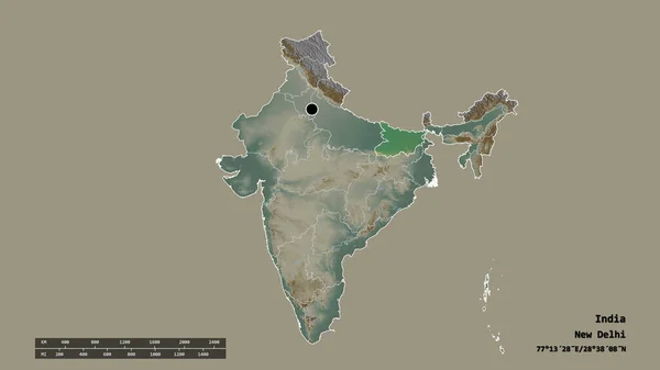
Desaturated shape of India with its capital, main regional division and the separated Bihar area. Labels. Topographic relief map. 3D rendering
Desaturated Shape India Its Capital Main Regional Division Separated Bihar — Stock Photo, Image
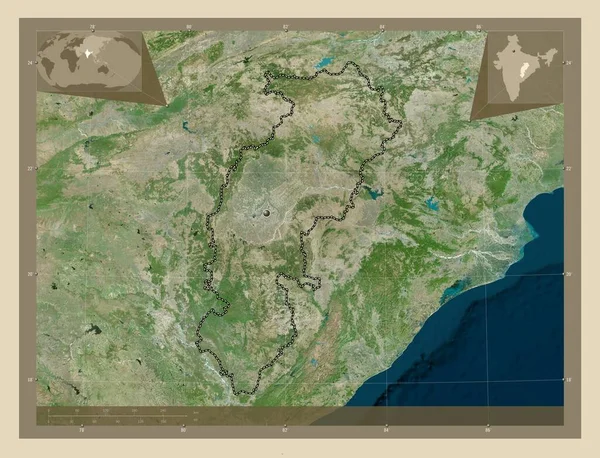
Chhattisgarh, state of India. High resolution satellite map. Corner auxiliary location maps
Chhattisgarh State India High Resolution Satellite Map Corner Auxiliary Location — Stock Photo, Image
Scribbled Shape of the Country of India
Scribbled Shape of the Country of India — Stock Photo, Image
Scribbled Shape of the Country of India
Scribbled Shape of the Country of India — Stock Photo, Image
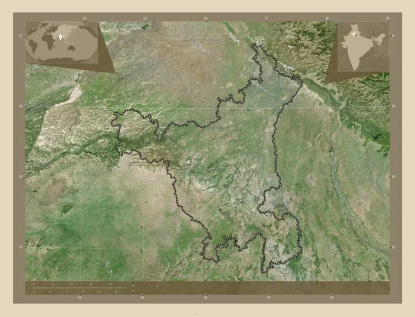
Haryana, state of India. High resolution satellite map. Corner auxiliary location maps
Haryana State India High Resolution Satellite Map Corner Auxiliary Location — Stock Photo, Image
Desaturated shape of India with its capital, main regional division and the separated Sikkim area. Labels. Composition of patterned textures. 3D rendering
Desaturated Shape India Its Capital Main Regional Division Separated Sikkim — Stock Photo, Image
Desaturated shape of India with its capital, main regional division and the separated Chandigarh area. Labels. Composition of patterned textures. 3D rendering
Desaturated Shape India Its Capital Main Regional Division Separated Chandigarh — Stock Photo, Image
Tripura, state of India. Low resolution satellite map. Locations of major cities of the region. Corner auxiliary location maps
Tripura State India Low Resolution Satellite Map Locations Major Cities — Stock Photo, Image
Desaturated shape of India with its capital, main regional division and the separated National Capital Territory of Delhi area. Labels. Composition of patterned textures. 3D rendering
Desaturated Shape India Its Capital Main Regional Division Separated National — Stock Photo, Image
Area of India isolated on a solid background in a georeferenced bounding box. Main regional division, distance scale, labels. Topographic relief map. 3D rendering
Area India Isolated Solid Background Georeferenced Bounding Box Main Regional — Stock Photo, Image
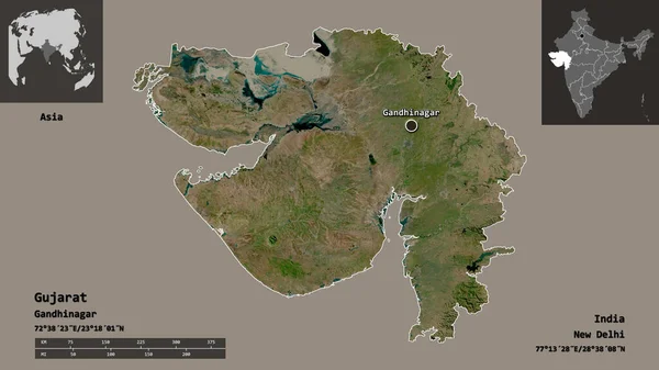
Shape of Gujarat, state of India, and its capital. Distance scale, previews and labels. Satellite imagery. 3D rendering
Shape Gujarat State India Its Capital Distance Scale Previews Labels — Stock Photo, Image
Mae Hong Son, province of Thailand. Sentinel-2 satellite imagery. Shape isolated on solid background with informative overlays. Contains modified Copernicus Sentinel data
Mae Hong Son Province Thailand Sentinel Satellite Imagery Shape Isolated — Stock Photo, Image
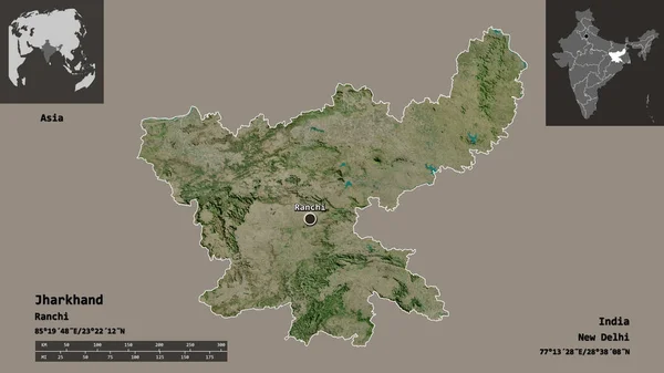
Shape of Jharkhand, state of India, and its capital. Distance scale, previews and labels. Satellite imagery. 3D rendering
Shape Jharkhand State India Its Capital Distance Scale Previews Labels — Stock Photo, Image
Desaturated shape of India with its capital, main regional division and the separated Meghalaya area. Labels. Composition of patterned textures. 3D rendering
Desaturated Shape India Its Capital Main Regional Division Separated Meghalaya — Stock Photo, Image
Tamil Nadu, state of India. Elevation map colored in wiki style with lakes and rivers. Locations of major cities of the region. Corner auxiliary location maps
Tamil Nadu State India Elevation Map Colored Wiki Style Lakes — Stock Photo, Image
Mamou, region of Guinea. Low resolution satellite map. Corner auxiliary location maps
Mamou Region Guinea Low Resolution Satellite Map Corner Auxiliary Location — Stock Photo, Image
Desaturated shape of India with its capital, main regional division and the separated Tripura area. Labels. Composition of patterned textures. 3D rendering
Desaturated Shape India Its Capital Main Regional Division Separated Tripura — Stock Photo, Image
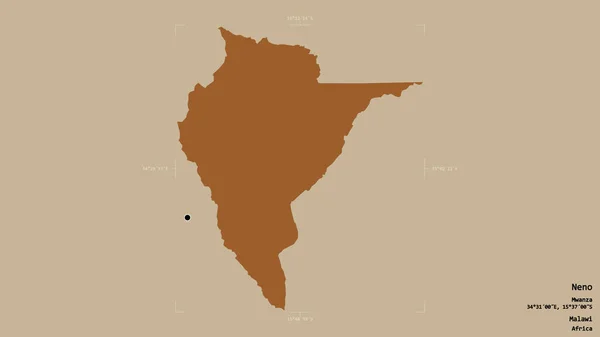
Area of Neno, district of Malawi, isolated on a solid background in a georeferenced bounding box. Labels. Composition of patterned textures. 3D rendering
Area Neno District Malawi Isolated Solid Background Georeferenced Bounding Box — Stock Photo, Image
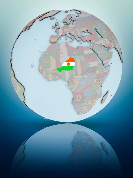
Niger with national flag on globe reflecting on shiny surface. 3D illustration.
Niger National Flag Globe Reflecting Shiny Surface Illustration — Stock Photo, Image
Desaturated shape of India with its capital, main regional division and the separated Himachal Pradesh area. Labels. Colored elevation map. 3D rendering
Desaturated Shape India Its Capital Main Regional Division Separated Himachal — Stock Photo, Image
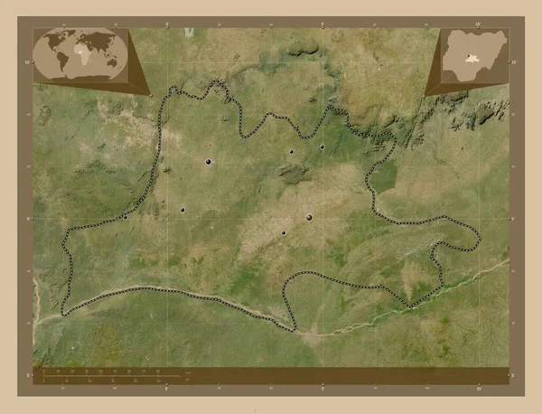
Nassarawa, state of Nigeria. Low resolution satellite map. Locations of major cities of the region. Corner auxiliary location maps
Nassarawa State Nigeria Low Resolution Satellite Map Locations Major Cities — Stock Photo, Image
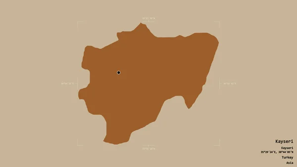
Area of Kayseri, province of Turkey, isolated on a solid background in a georeferenced bounding box. Labels. Composition of patterned textures. 3D rendering
Area Kayseri Province Turkey Isolated Solid Background Georeferenced Bounding Box — Stock Photo, Image
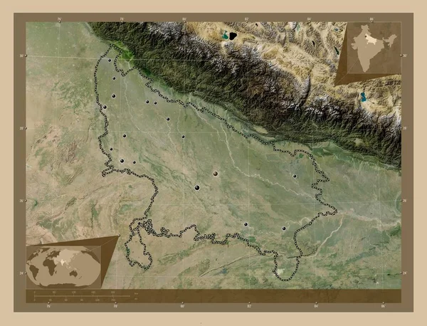
Uttar Pradesh, state of India. Low resolution satellite map. Locations of major cities of the region. Corner auxiliary location maps
Uttar Pradesh State India Low Resolution Satellite Map Locations Major — Stock Photo, Image
Desaturated shape of India with its capital, main regional division and the separated Meghalaya area. Labels. Satellite imagery. 3D rendering
Desaturated Shape India Its Capital Main Regional Division Separated Meghalaya — Stock Photo, Image
Chhattisgarh, state of India. Low resolution satellite map. Locations of major cities of the region. Corner auxiliary location maps
Chhattisgarh State India Low Resolution Satellite Map Locations Major Cities — Stock Photo, Image
Haut-Lomami, province of Democratic Republic of the Congo. Low resolution satellite map. Corner auxiliary location maps
Haut Lomami Province Democratic Republic Congo Low Resolution Satellite Map — Stock Photo, Image
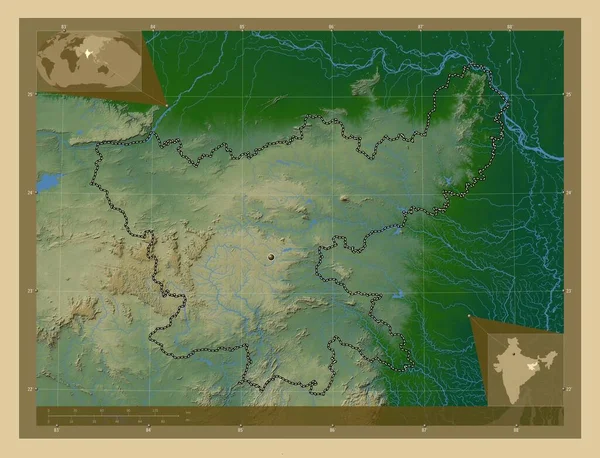
Jharkhand, state of India. Colored elevation map with lakes and rivers. Corner auxiliary location maps
Jharkhand State India Colored Elevation Map Lakes Rivers Corner Auxiliary — Stock Photo, Image

Find Stunning India Map Images for Your Next Project

If you're working on a project that requires India map images, you’ve come to the right place. We offer a wide range of high-quality stock images that are perfect for all kinds of purposes, from academic presentations to commercial advertising campaigns.

Types of India Map Images Available

Our collection includes various types of India map images, including political maps, physical maps, and topographical maps. Our political maps highlight the boundaries of Indian states and their respective capitals. Physical maps show the terrain of India, including rivers, mountains, and valleys. Our topographical maps include contour lines that show the elevation of different regions in India. Other types of India map images in our collection include road maps, climate maps, and city maps.

All our India map images come in high-resolution JPG, AI, and EPS formats, making them easily downloadable and usable for a wide variety of purposes.

Use Cases for India Map Images

India map images are essential for any project that requires location-based data. Some of the common use cases of our India map images include:

  • Academic research and presentations
  • Graphic design projects
  • Printed marketing collateral, such as brochures and flyers
  • Online marketing campaigns, including social media promotion and email marketing
  • Corporate training and employee presentations

Our India map images can also be used in various industries, such as education, tourism, healthcare, and retail. Whatever your industry or purpose, our India map images will help you communicate your message effectively.

Tips for Choosing the Right India Map Image

Choosing the right India map image can be challenging, especially with our extensive collection. Here are some tips to ensure you get the most suitable map for your project:

  • Consider your project scope and audience. What message do you want to communicate, and who are you addressing?
  • Decide if you need a specific type of map, such as political or topographical, and whether you need a particular region of India.
  • Check the resolution and format of the map to ensure it meets your requirements.
  • If you’re using the map for commercial purposes, check the licensing terms to ensure compliance.
  • Finally, explore our extensive collection to find the perfect India map image to suit your needs.

With these tips in mind, you’ll be able to choose the perfect India map image for your next project.

Conclusion

With our extensive collection of high-quality India map images, you’re sure to find the perfect map for your project. From political maps to topographical maps, our collection includes maps that suit various purposes and industries. Use our tips to select the most suitable map for your needs and begin communicating your message effectively today!