Germany map Stock Photos

100,000 Germany map pictures are available under a royalty-free license

  • Best Match
  • Fresh
  • Popular
1-100 of 100,000
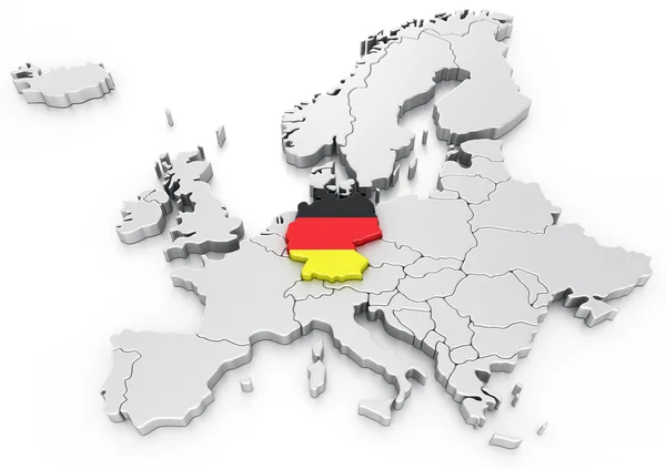
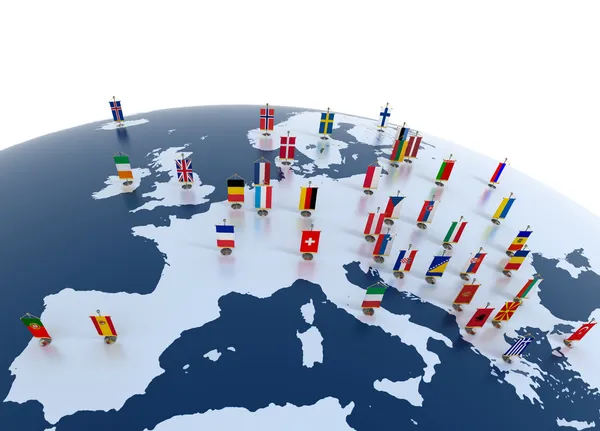
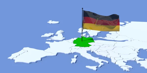
Germany on a Euro map
Germany on a Euro map — Stock Photo, Image
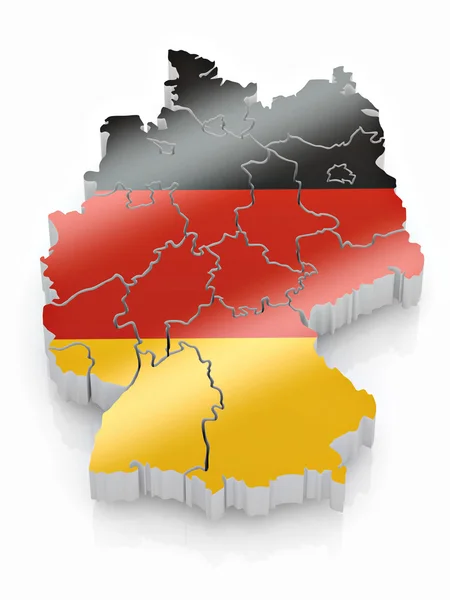
Map and flag of Germany
Map and flag of Germany — Stock Photo, Image
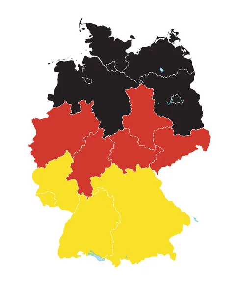
Map of Germany in German flag colors.
Map of Germany in German flag colors. — Stock Photo, Image
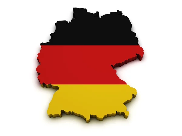
Germany Flag Map Shape
Germany Flag Map Shape — Stock Photo, Image
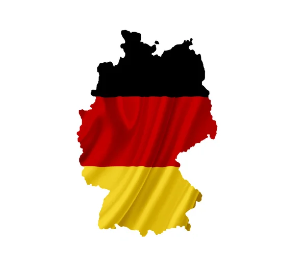
Map of Germany with waving flag isolated on white
Map of Germany with waving flag isolated on white — Stock Photo, Image
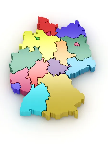
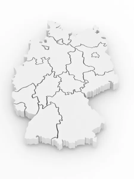
Three-dimensional map of Germany. 3d
Three-dimensional map of Germany. 3d — Stock Photo, Image
Germany map card paper 3D natural raster
Germany map card paper 3D natural raster — Stock Photo, Image
Germany map
Germany map — Stock Photo, Image
Map and flag of Germany
Map Flag Germany — Stock Photo, Image
European continent marked with flags
European continent marked with flags — Stock Photo, Image
German flag shaped as the country
German flag shaped as the country — Stock Photo, Image
Germany Map
Germany Map — Stock Photo, Image
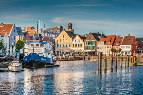
Town of Husum, Nordfriesland, Schleswig-Holstein, Germany
Town of Husum, Nordfriesland, Schleswig-Holstein, Germany — Stock Photo, Image
Multiracial group of friends having a coffee together
Multiracial group of friends having a coffee together — Stock Photo, Image
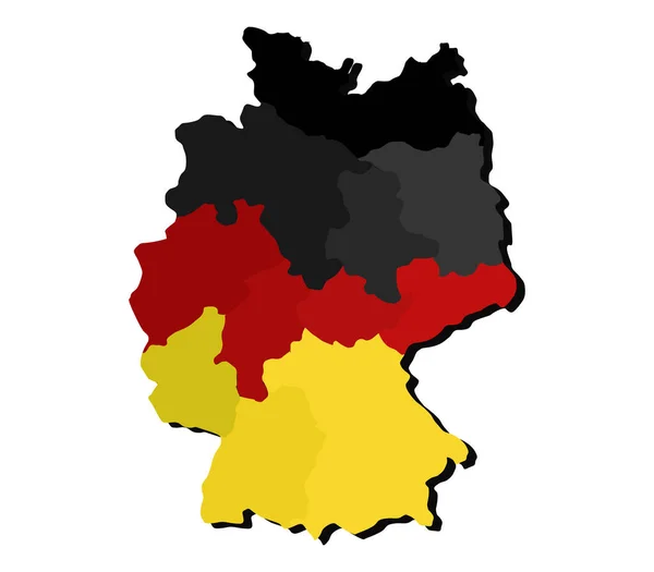
Map of Germany in German flag colors. 3d
Map Germany German Flag Colors — Stock Photo, Image
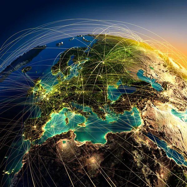
Highly detailed Earth at night with embossed continents
Highly detailed Earth at night with embossed continents — Stock Photo, Image
Three-dimensional map of Germany. 3d
Three-dimensional map of Germany. 3d — Stock Photo, Image
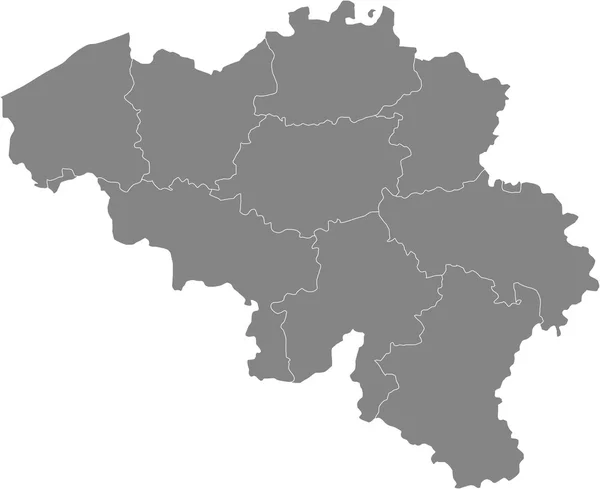
Map of Belgium
Map of Belgium — Stock Photo, Image
Country Shape isolated on chalk board with the name and shape of
Country Shape isolated on chalk board with the name and shape of — Stock Photo, Image
Country Shape isolated on chalk board with the name and shape of
Country Shape isolated on chalk board with the name and shape of — Stock Photo, Image
Germany Map - Hand Drawn Illustration
Germany Map Hand Drawn Illustration — Stock Photo, Image
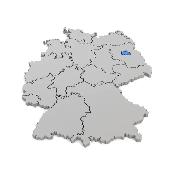
3d render - german map with regional boarders and the focus to B
3d render - german map with regional boarders and the focus to B — Stock Photo, Image
Map of the world, copy space
Map World Copy Space — Stock Photo, Image
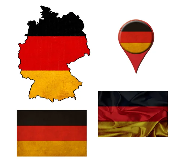
German flag, map and map pointers
German flag, map and map pointers — Stock Photo, Image
Map of Germany with flag
Map of Germany with flag — Stock Photo, Image
Map of Germany with flag
Map of Germany with flag — Stock Photo, Image
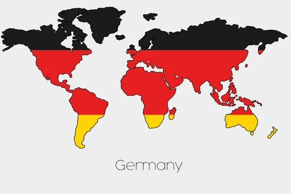
Flag Illustration inside the shape of a world map of the country
Flag Illustration inside the shape of a world map of the country — Stock Photo, Image
Polygonal Network Mesh High Resolution Raster Map of Valladolid Province Abstractions
Polygonal Network Mesh High Resolution Raster Map of Valladolid Province Abstractions — Stock Photo, Image
Map of Germany with flag
Map of Germany with flag — Stock Photo, Image
Map of Germany, Polygonal mesh line map, modern colorful map
Map Germany Polygonal Mesh Line Map Modern Colorful Map — Stock Photo, Image
A Neon outline of Germany
Neon Outline Germany — Stock Photo, Image
Polygonal Carcass Mesh High Resolution Raster Map of Valencia Province Abstractions
Polygonal Carcass Mesh High Resolution Raster Map of Valencia Province Abstractions — Stock Photo, Image
Germany map outline Azureish white watercolor
Germany map outline Azureish white watercolor — Stock Photo, Image
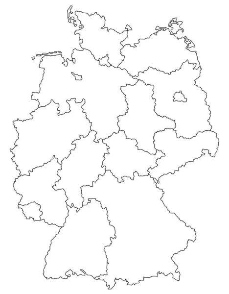
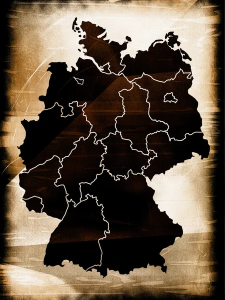
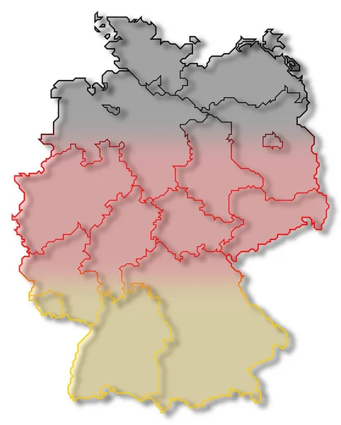
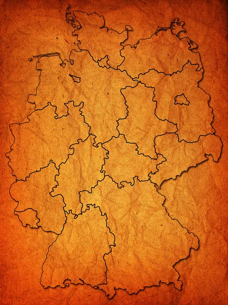
German provinces
German provinces — Stock Photo, Image
Map of the world, copy space
Map World Copy Space — Stock Photo, Image
Germany with its flag
Germany with its flag — Stock Photo, Image
Map of Germany filled with blue color
Map Germany Filled Blue Color — Stock Photo, Image
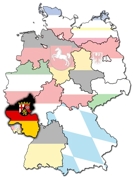
Rhineland palatinate
Rhineland palatinate — Stock Photo, Image
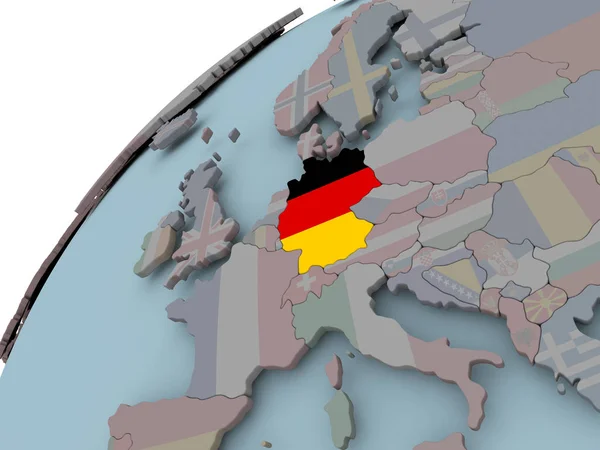
Germany on gray political globe with embedded flag. 3D illustration.
Germany Gray Political Globe Embedded Flag Illustration — Stock Photo, Image
Flag of Germany in bloodstains or red paint. Rendering.
Flag Germany Bloodstains Red Paint Rendering — Stock Photo, Image
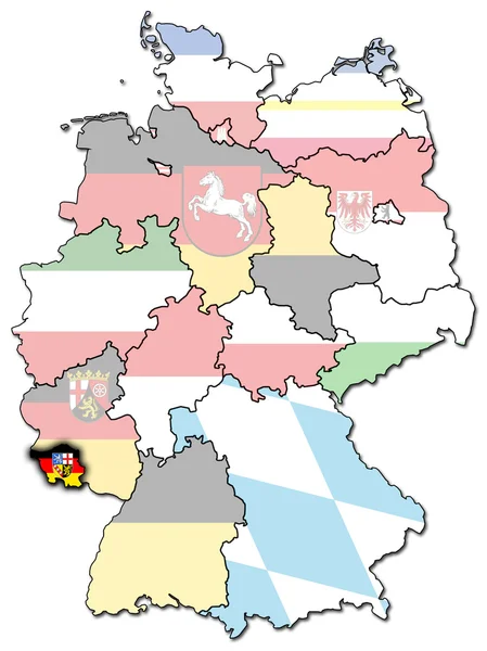
Saarland
Saarland — Stock Photo, Image
A Flag Illustration With a Neon Outline of Germany
Flag Illustration Neon Outline Germany — Stock Photo, Image
Illustrated map of germany with flag on white background
Illustrated map of germany with flag on white background — Stock Photo, Image
Map of the Germany in the colors of the flag with administrative divisions blank
Map Germany Colors Flag Administrative Divisions Blank — Stock Photo, Image
Germany
Germany — Stock Photo, Image
Germany Black Silhouette Map Outline Isolated on White 3D Illustration
Germany Black Silhouette Map Outline Isolated on White 3D Illustration — Stock Photo, Image
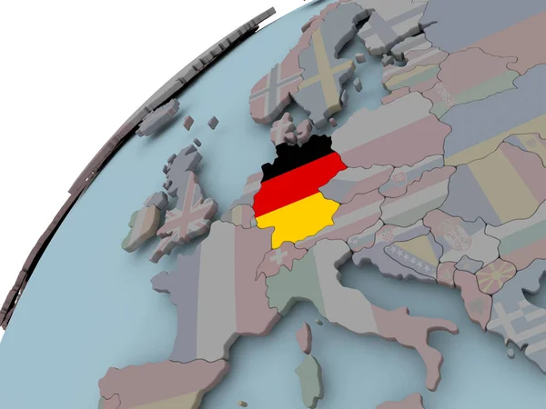
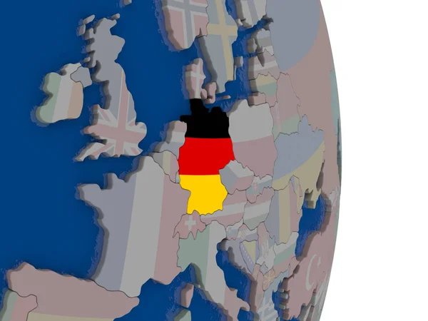
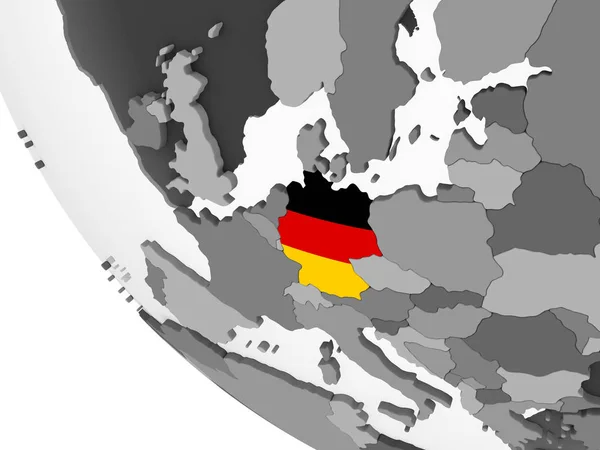
Germany on political globe with embedded flag. 3D illustration.
Germany Political Globe Embedded Flag Illustration — Stock Photo, Image
Germany map
Germany map — Stock Photo, Image
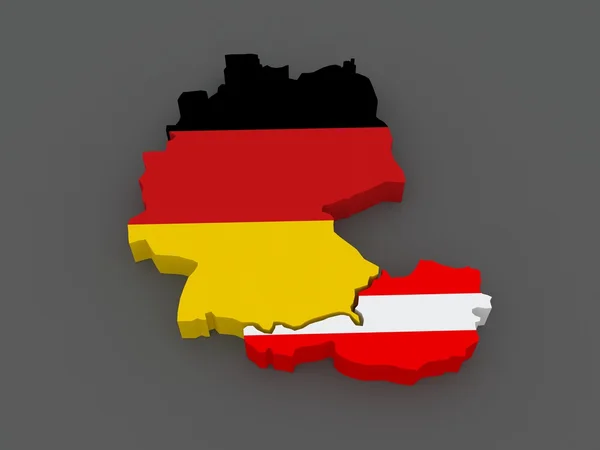
Germany and Austria. map.
Germany and Austria. map. — Stock Photo, Image
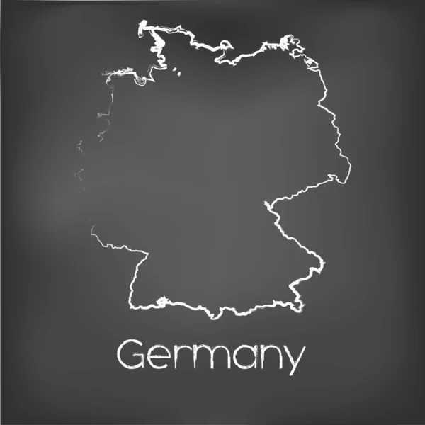
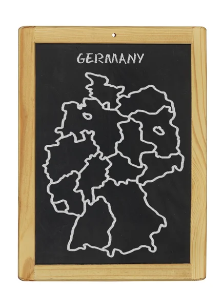
Chalked map on a chalk board of Germany
Chalked map on a chalk board of  Germany — Stock Photo, Image
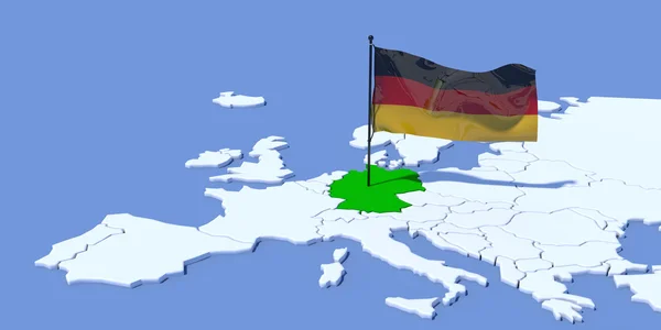
Europe 3D map with flag Germany
Europe 3D map with flag Germany — Stock Photo, Image
Europe 3D map with flag Germany
Europe 3D map with flag Germany — Stock Photo, Image
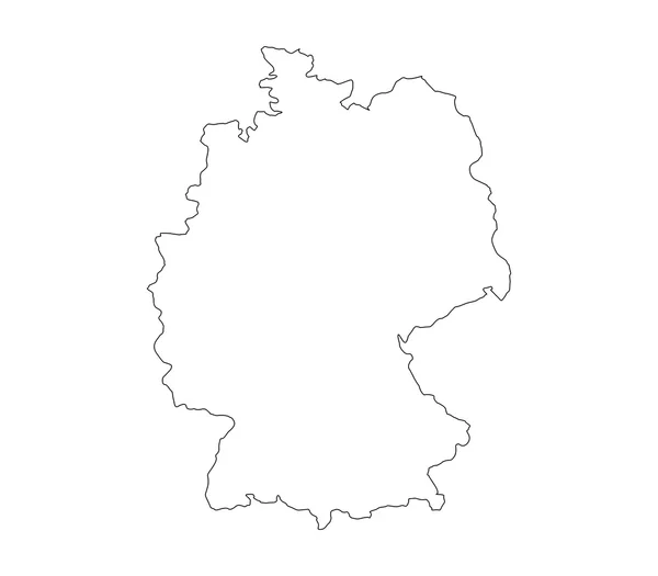
Map of germany on white background
Map of germany on white background — Stock Photo, Image
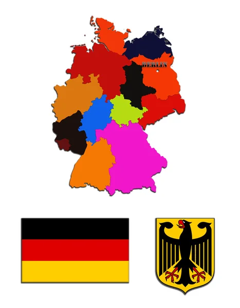
The map and the state symbols of Germany
The map and the state symbols of Germany — Stock Photo, Image
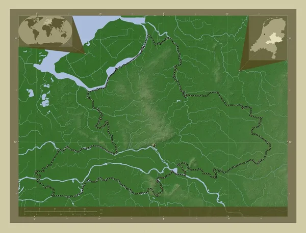
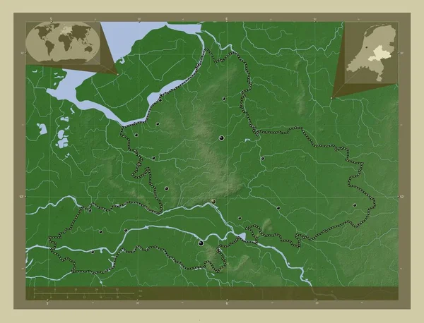
Gelderland, province of Netherlands. Elevation map colored in wiki style with lakes and rivers. Corner auxiliary location maps
Gelderland Province Netherlands Elevation Map Colored Wiki Style Lakes Rivers — Stock Photo, Image
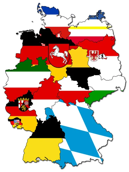
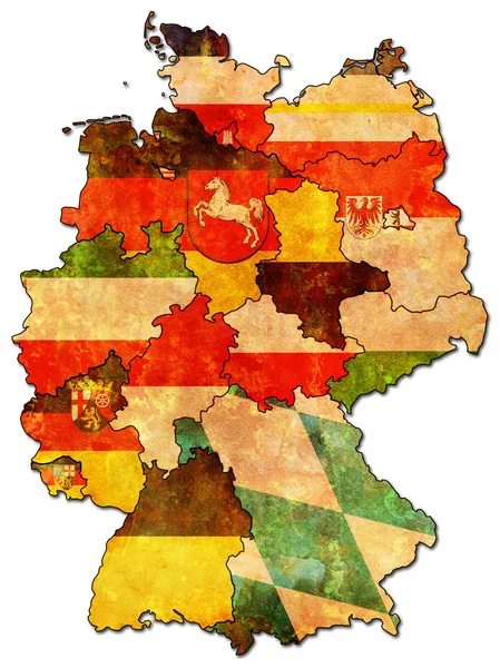
The map of regions and the arms of Germany
The map of regions and the arms of Germany — Stock Photo, Image
Germany map outline Spanish gray watercolor
Germany map outline Spanish gray watercolor — Stock Photo, Image
German map and flag
German map and flag — Stock Photo, Image
German map and flag
German map and flag — Stock Photo, Image
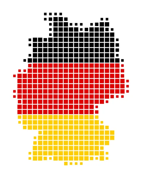
Squared Background with the country shape of Germany
Squared Background with the country shape of Germany — Stock Photo, Image
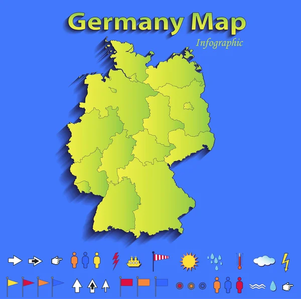
Germany map infographic political map individual states blue green card paper 3D raster
Germany map infographic political map individual states blue green card paper 3D raster — Stock Photo, Image
Map of germany, art illustration
Map Germany Art Illustration — Stock Photo, Image
German provinces
German provinces — Stock Photo, Image
3d render - german map with regional boarders and the focus to S
3d render - german map with regional boarders and the focus to S — Stock Photo, Image
German provinces
German provinces — Stock Photo, Image
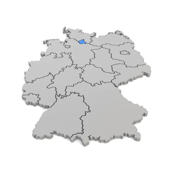
3d render - german map with regional boarders and the focus to H
3d render - german map with regional boarders and the focus to H — Stock Photo, Image
Polygonal Network Mesh High Resolution Raster Map of Guizhou Province Abstractions
Polygonal Network Mesh High Resolution Raster Map of Guizhou Province Abstractions — Stock Photo, Image
Gelderland, province of Netherlands. Elevation map colored in wiki style with lakes and rivers. Locations of major cities of the region. Corner auxiliary location maps
Gelderland Province Netherlands Elevation Map Colored Wiki Style Lakes Rivers — Stock Photo, Image
Political map of germany with the several states.
Political Map Germany Several States — Stock Photo, Image
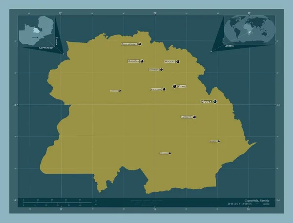
Copperbelt, province of Zambia. Solid color shape. Locations and names of major cities of the region. Corner auxiliary location maps
Copperbelt Province Zambia Solid Color Shape Locations Names Major Cities — Stock Photo, Image
Map of Germany on white background.
Map of Germany on white background. — Stock Photo, Image
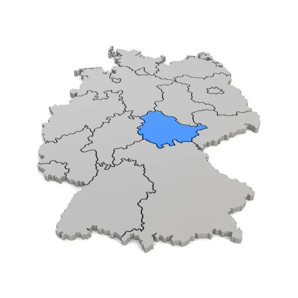
3d render - german map with regional boarders and the focus to T
3d render - german map with regional boarders and the focus to T — Stock Photo, Image
A Neon outline of Germany
Neon Outline Germany — Stock Photo, Image
Country Shape isolated on background of the country of Germany
Country Shape isolated on background of the country of Germany — Stock Photo, Image
Country Shape isolated on chalk board with the name and shape of
Country Shape isolated on chalk board with the name and shape of — Stock Photo, Image
Abstract Germany flag build from puzzle pieces
Abstract Germany Flag Build Puzzle Pieces — Stock Photo, Image
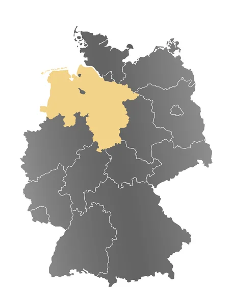
Niedersachsen Karte - Deutschland
Niedersachsen Karte - Deutschland — Stock Photo, Image
Germany flag icon set
Germany flag icon set — Stock Photo, Image
Map of germany on a chalkboard
Map of germany on a chalkboard — Stock Photo, Image
3D White silhouette of the Germany state on the national flag
White Silhouette Germany State National Flag — Stock Photo, Image
Germany and the Czech Republic. map.
Germany and the Czech Republic. map. — Stock Photo, Image
German flag map
German flag map — Stock Photo, Image
Map of germany with capitals
Map Germany Capitals — Stock Photo, Image
German flag collage
German flag collage — Stock Photo, Image
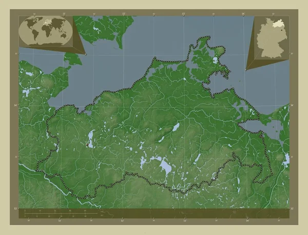
Mecklenburg-Vorpommern, state of Germany. Elevation map colored in wiki style with lakes and rivers. Corner auxiliary location maps
Mecklenburg Vorpommern State Germany Elevation Map Colored Wiki Style Lakes — Stock Photo, Image
German provinces
German provinces — Stock Photo, Image
Map of Germany filled with white color
Map Germany Filled White Color — Stock Photo, Image
World map with coordinate point positioned by crossed lines on country germany
World Map Coordinate Point Positioned Crossed Lines Country Germany — Stock Photo, Image
Map of germany - thuringia
Map Germany Thuringia — Stock Photo, Image
Flag of Germany on map
Flag of Germany on map — Stock Photo, Image
Flag of Germany on map
Flag of Germany on map — Stock Photo, Image
Country Shape isolated on background of the country of Germany
Country Shape isolated on background of the country of Germany — Stock Photo, Image
Country Shape isolated on background of the country of Germany
Country Shape isolated on background of the country of Germany — Stock Photo, Image
Square pin with flag of germany on the map
Square pin with flag of germany on the map — Stock Photo, Image

Related image searches

Germany Map Images: Find the Perfect Visual for Your Project

Germany, with its diverse cities, beautiful countryside and rich history, is a popular choice for many projects. Whether you are designing a travel brochure, creating a presentation or building a website, having the right image of Germany can make all the difference in grabbing the attention of your audience. That's where our collection of Germany map images comes in. We offer a wide range of high-quality images, including royalty-free illustrations, vector graphics, and photographs, that can be used for any purpose.
The Benefits of Using Germany Map Images

Using a map image of Germany can add a visual element to your project that text alone cannot convey. It can provide context and help your audience understand the location of cities, landmarks, and other noteworthy places. It can also help to create an emotional connection with your audience by evoking feelings of adventure, curiosity, or nostalgia.

Another benefit of using our Germany map images is their versatility. They can be used in a variety of formats, from print to digital, and can be easily adapted for different sizes. Whether you need a small thumbnail or a large hero image, our images will look sharp and polished.

Finally, using images from our collection can help you save time and money. The images are affordable and can be licensed for multiple projects, eliminating the need to spend time and resources creating custom visuals. With our Germany map images, you can focus on creating great content and leave the visual element to us.

Our Collection of Germany Map Images

We offer a range of Germany map images in different styles and formats to suit your specific needs. Our collection includes illustrated maps that highlight major cities and landmarks, photos of iconic sites such as the Brandenburg Gate and the Neuschwanstein Castle, and vector graphics that can be easily edited and customized to fit your project.

If you are looking for a classic style, our vintage maps of Germany are perfect for creating a nostalgic mood. For a more modern look, our 3D maps of Germany showcase the country's topography and give a sense of the country's physical features. Whichever style you choose, our Germany map images are sure to elevate your project and make it stand out.

How to Choose the Right Germany Map Image for Your Project

Choosing the right Germany map image for your project can be overwhelming, but with our tips, you can make an informed decision:

1. Consider the tone of your project: Whether your project is serious or whimsical, the tone should match the image you choose. A vintage map may not be appropriate for a modern travel guide, for example.

2. Think about your audience: Who are you trying to reach with your project? If your audience is young and tech-savvy, a 3D map might be more appealing than a traditional map.

3. Pay attention to the details: Make sure the map you choose is accurate and includes all the cities, landmarks, and other details that are relevant to your project.

4. Consider the size and format: Make sure the image you choose is scalable and can be used at different sizes and resolutions, depending on the platform you are using.

With these tips in mind, you can make sure that the Germany map image you choose not only looks great but also supports the goals of your project.

Conclusion

Our collection of Germany map images offers a wide range of visuals that can help bring your project to life. From vintage maps to 3D graphics, we have the perfect image to suit your needs. By using our images, you can save time and money while creating an engaging and impactful visual element that will grab the attention of your audience. So why wait? Browse our collection today and find the perfect Germany map image for your project.