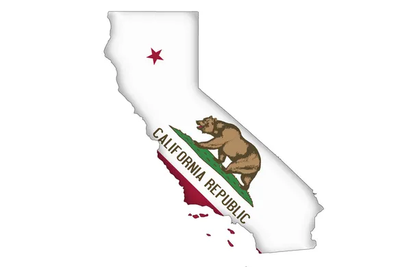
State of California map
State of California map — Stock Photo, Image
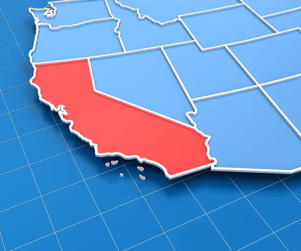
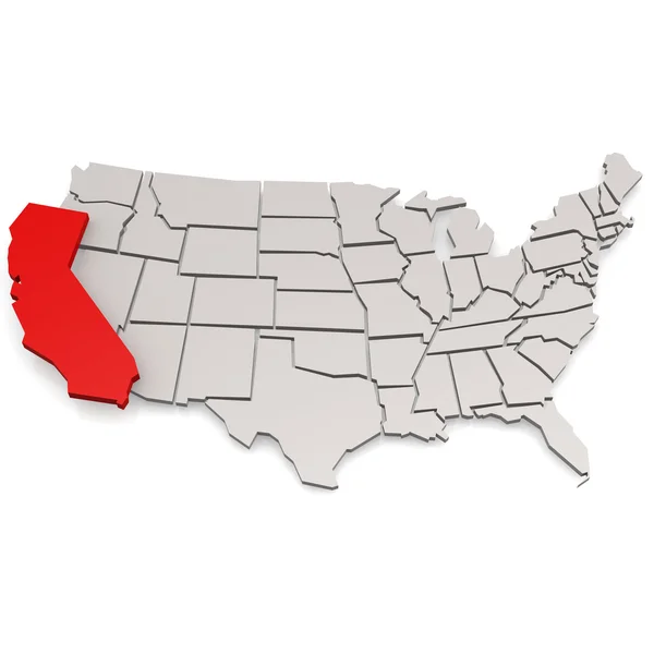
3d render of USA map with California state highlighted
3d render of USA map with California state highlighted — Stock Photo, Image
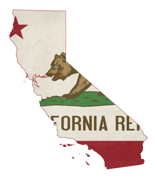
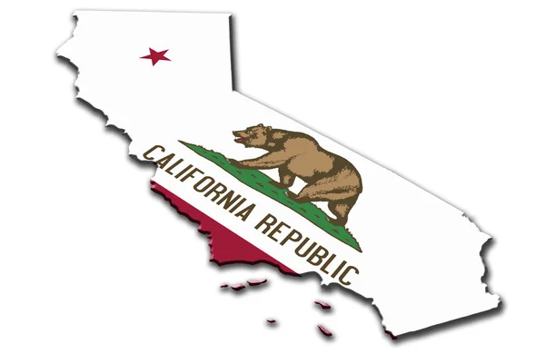
Grunge state of California flag map
Grunge state of California flag map — Stock Photo, Image
Detailed Earth. Gulf of California, Mexico and the western U.S.
Detailed Earth. Gulf of California, Mexico and the western U.S. — Stock Photo, Image
California
California — Stock Photo, Image
California map in grey and red colors
California map in grey and red colors — Stock Photo, Image
Los angeles picture inside of california map
Los angeles picture inside of california map — Stock Photo, Image
Night Earth. A piece of North America - Mexico and the western U
Night Earth. A piece of North America - Mexico and the western U — Stock Photo, Image
California (USA) map
California (USA) map — Stock Photo, Image
California US state in watercolor
California US state in watercolor — Stock Photo, Image
California
California — Stock Photo, Image
California (USA) outline map with shadow
California (USA) outline map with shadow — Stock Photo, Image
California Map
California Map — Stock Photo, Image
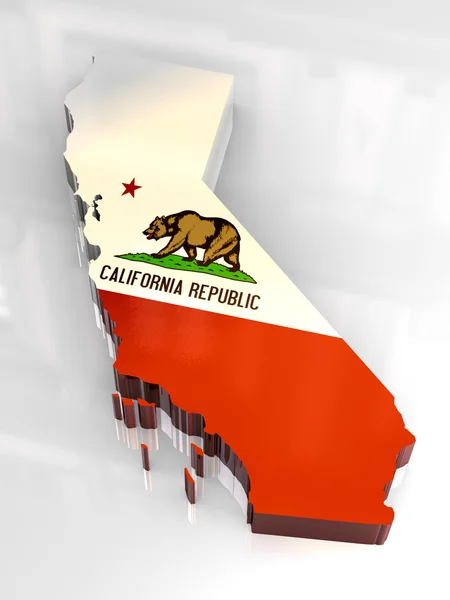
3d flag map og California
3d flag map og California — Stock Photo, Image
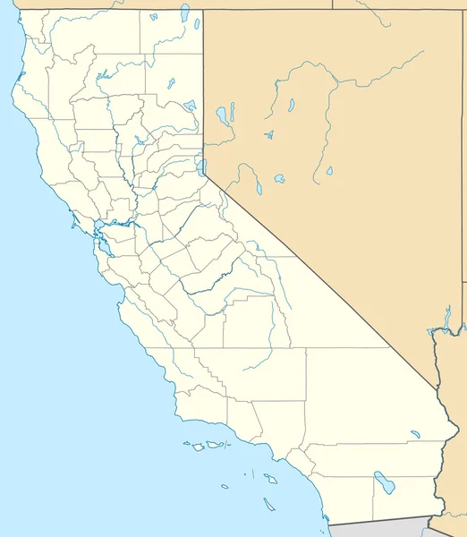
California map
California map — Stock Photo, Image
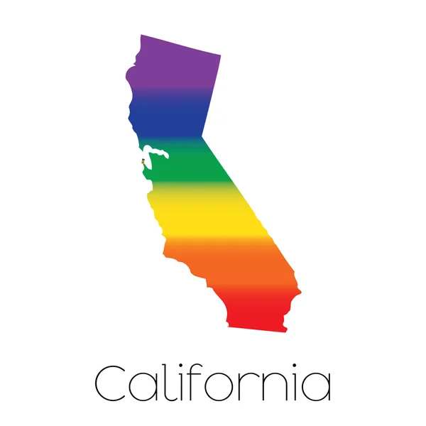
LGBT Flag inside the State of California
LGBT Flag inside the State of California — Stock Photo, Image
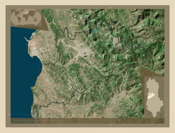
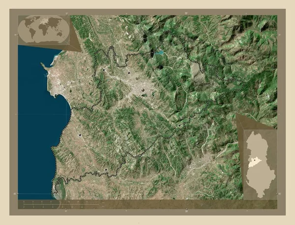
Tirane, county of Albania. High resolution satellite map. Corner auxiliary location maps
Tirane County Albania High Resolution Satellite Map Corner Auxiliary Location — Stock Photo, Image
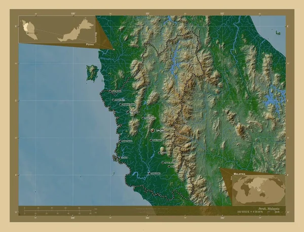
Perak, state of Malaysia. Colored elevation map with lakes and rivers. Locations and names of major cities of the region. Corner auxiliary location maps
Perak State Malaysia Colored Elevation Map Lakes Rivers Locations Names — Stock Photo, Image
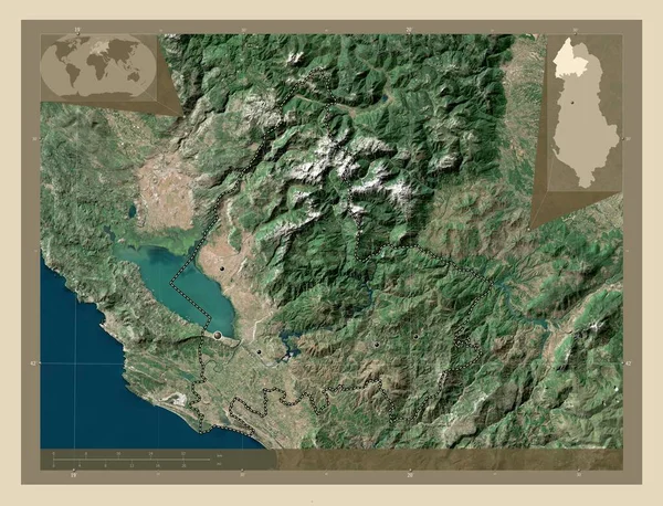
Shkoder, county of Albania. High resolution satellite map. Locations of major cities of the region. Corner auxiliary location maps
Shkoder County Albania High Resolution Satellite Map Locations Major Cities — Stock Photo, Image
Fukushima, prefecture of Japan. High resolution satellite map. Corner auxiliary location maps
Fukushima Prefecture Japan High Resolution Satellite Map Corner Auxiliary Location — Stock Photo, Image
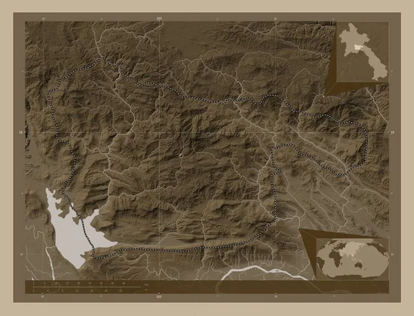
Xaisomboun, special region of Laos. Elevation map colored in sepia tones with lakes and rivers. Corner auxiliary location maps
Xaisomboun Special Region Laos Elevation Map Colored Sepia Tones Lakes — Stock Photo, Image
Xaisomboun, special region of Laos. Elevation map colored in sepia tones with lakes and rivers. Locations of major cities of the region. Corner auxiliary location maps
Xaisomboun Special Region Laos Elevation Map Colored Sepia Tones Lakes — Stock Photo, Image
Shkoder, county of Albania. Elevation map colored in wiki style with lakes and rivers. Corner auxiliary location maps
Shkoder County Albania Elevation Map Colored Wiki Style Lakes Rivers — Stock Photo, Image
Tirane, county of Albania. High resolution satellite map. Locations of major cities of the region. Corner auxiliary location maps
Tirane County Albania High Resolution Satellite Map Locations Major Cities — Stock Photo, Image
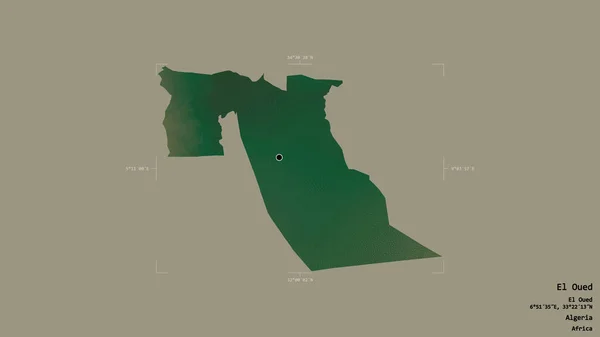
Area of El Oued, province of Algeria, isolated on a solid background in a georeferenced bounding box. Labels. Topographic relief map. 3D rendering
Area Oued Province Algeria Isolated Solid Background Georeferenced Bounding Box — Stock Photo, Image
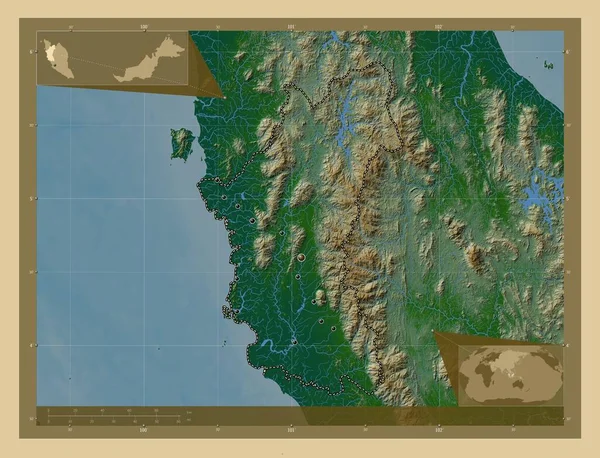
Perak, state of Malaysia. Colored elevation map with lakes and rivers. Locations of major cities of the region. Corner auxiliary location maps
Perak State Malaysia Colored Elevation Map Lakes Rivers Locations Major — Stock Photo, Image
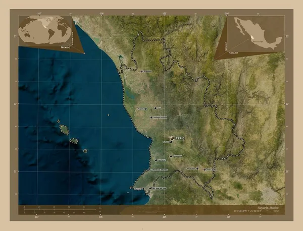
Nayarit, state of Mexico. Low resolution satellite map. Locations and names of major cities of the region. Corner auxiliary location maps
Nayarit State Mexico Low Resolution Satellite Map Locations Names Major — Stock Photo, Image
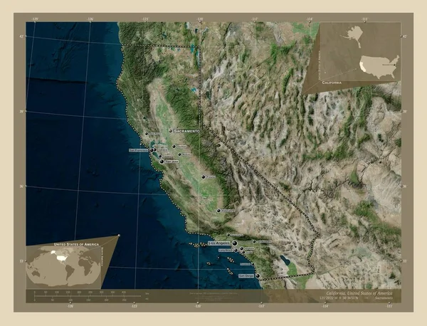
California, state of United States of America. High resolution satellite map. Locations and names of major cities of the region. Corner auxiliary location maps
California State United States America High Resolution Satellite Map Locations — Stock Photo, Image
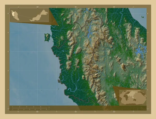
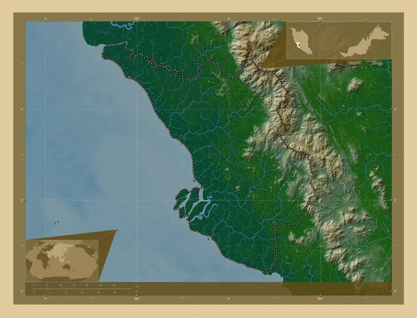
Perak, state of Malaysia. Colored elevation map with lakes and rivers. Corner auxiliary location maps
Perak State Malaysia Colored Elevation Map Lakes Rivers Corner Auxiliary — Stock Photo, Image
Durres, county of Albania. High resolution satellite map. Locations of major cities of the region. Corner auxiliary location maps
Durres County Albania High Resolution Satellite Map Locations Major Cities — Stock Photo, Image
Cuando Cubango, province of Angola. Elevation map colored in sepia tones with lakes and rivers. Locations of major cities of the region. Corner auxiliary location maps
Cuando Cubango Province Angola Elevation Map Colored Sepia Tones Lakes — Stock Photo, Image
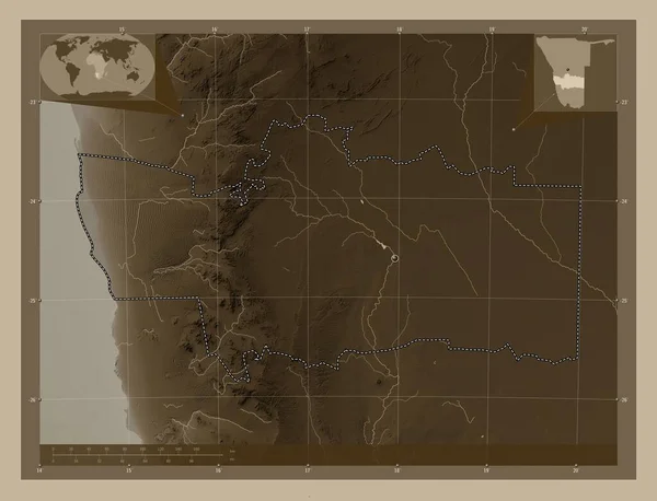
Hardap, region of Namibia. Elevation map colored in sepia tones with lakes and rivers. Locations of major cities of the region. Corner auxiliary location maps
Hardap Region Namibia Elevation Map Colored Sepia Tones Lakes Rivers — Stock Photo, Image
Campania, region of Italy. Colored elevation map with lakes and rivers. Locations and names of major cities of the region. Corner auxiliary location maps
Campania Region Italy Colored Elevation Map Lakes Rivers Locations Names — Stock Photo, Image
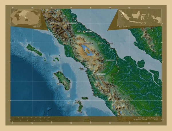
Sumatera Utara, province of Indonesia. Colored elevation map with lakes and rivers. Locations and names of major cities of the region. Corner auxiliary location maps
Sumatera Utara Province Indonesia Colored Elevation Map Lakes Rivers Locations — Stock Photo, Image
Shkoder, county of Albania. Elevation map colored in wiki style with lakes and rivers. Locations of major cities of the region. Corner auxiliary location maps
Shkoder County Albania Elevation Map Colored Wiki Style Lakes Rivers — Stock Photo, Image
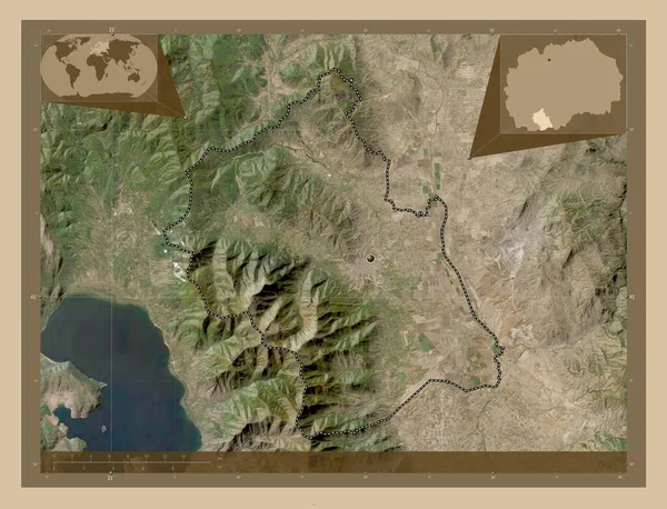
Bitola, municipality of Macedonia. Low resolution satellite map. Corner auxiliary location maps
Bitola Municipality Macedonia Low Resolution Satellite Map Corner Auxiliary Location — Stock Photo, Image
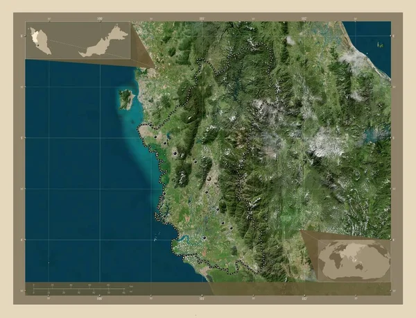
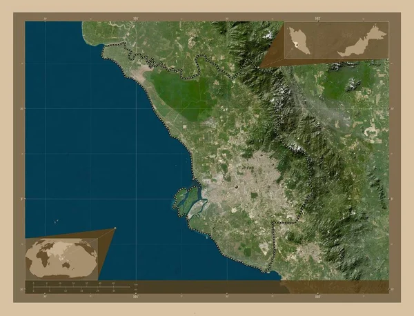
Perak, state of Malaysia. High resolution satellite map. Locations and names of major cities of the region. Corner auxiliary location maps
Perak State Malaysia High Resolution Satellite Map Locations Names Major — Stock Photo, Image
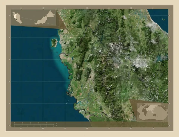
Perak, state of Malaysia. High resolution satellite map. Corner auxiliary location maps
Perak State Malaysia High Resolution Satellite Map Corner Auxiliary Location — Stock Photo, Image
Shkoder, county of Albania. High resolution satellite map. Corner auxiliary location maps
Shkoder County Albania High Resolution Satellite Map Corner Auxiliary Location — Stock Photo, Image
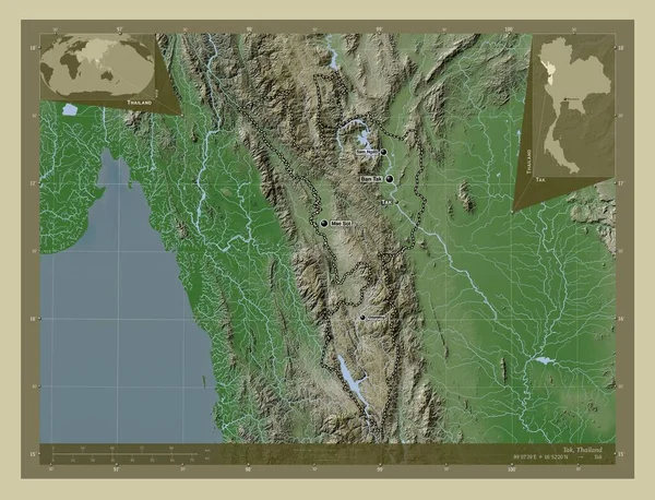
Tak, province of Thailand. Elevation map colored in wiki style with lakes and rivers. Locations and names of major cities of the region. Corner auxiliary location maps
Tak Province Thailand Elevation Map Colored Wiki Style Lakes Rivers — Stock Photo, Image
Mayo-Kebbi Ouest, region of Chad. Solid color shape. Corner auxiliary location maps
Mayo Kebbi Ouest Region Chad Solid Color Shape Corner Auxiliary — Stock Photo, Image
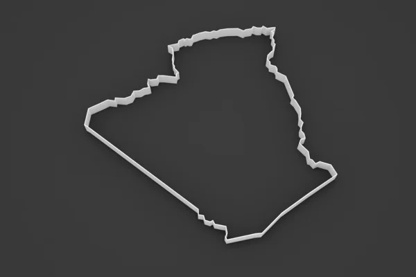
Map of Algeria.
Map of Algeria. — Stock Photo, Image
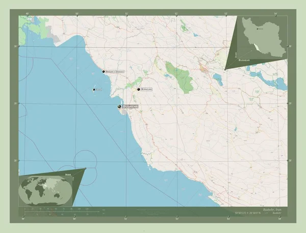
Bushehr, province of Iran. Open Street Map. Locations and names of major cities of the region. Corner auxiliary location maps
Bushehr Province Iran Open Street Map Locations Names Major Cities — Stock Photo, Image
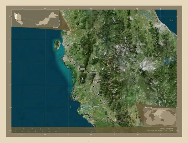
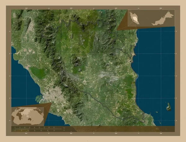
Perak, state of Malaysia. High resolution satellite map. Locations of major cities of the region. Corner auxiliary location maps
Perak State Malaysia High Resolution Satellite Map Locations Major Cities — Stock Photo, Image
Polygonal Network Mesh High Detail Raster Map of Tanzania Abstractions
Polygonal Network Mesh High Detail Raster Map of Tanzania Abstractions — Stock Photo, Image
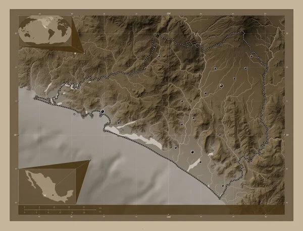
Colima, state of Mexico. Elevation map colored in sepia tones with lakes and rivers. Locations of major cities of the region. Corner auxiliary location maps
Colima State Mexico Elevation Map Colored Sepia Tones Lakes Rivers — Stock Photo, Image
Bengkulu, province of Indonesia. Elevation map colored in sepia tones with lakes and rivers. Locations and names of major cities of the region. Corner auxiliary location maps
Bengkulu Province Indonesia Elevation Map Colored Sepia Tones Lakes Rivers — Stock Photo, Image
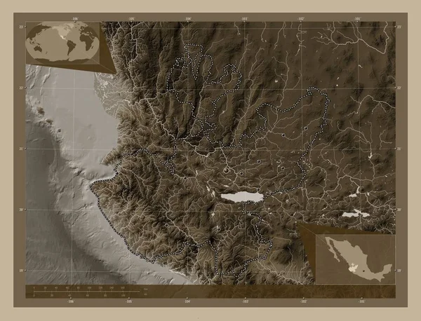
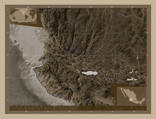
Jalisco, state of Mexico. Elevation map colored in sepia tones with lakes and rivers. Locations of major cities of the region. Corner auxiliary location maps
Jalisco State Mexico Elevation Map Colored Sepia Tones Lakes Rivers — Stock Photo, Image
Shkoder, county of Albania. Elevation map colored in wiki style with lakes and rivers. Locations and names of major cities of the region. Corner auxiliary location maps
Shkoder County Albania Elevation Map Colored Wiki Style Lakes Rivers — Stock Photo, Image
Cabinda, province of Angola. High resolution satellite map. Corner auxiliary location maps
Cabinda Province Angola High Resolution Satellite Map Corner Auxiliary Location — Stock Photo, Image
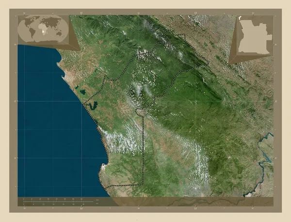
Cabinda, province of Angola. High resolution satellite map. Locations of major cities of the region. Corner auxiliary location maps
Cabinda Province Angola High Resolution Satellite Map Locations Major Cities — Stock Photo, Image
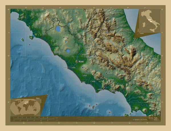
Lazio, region of Italy. Colored elevation map with lakes and rivers. Corner auxiliary location maps
Lazio Region Italy Colored Elevation Map Lakes Rivers Corner Auxiliary — Stock Photo, Image
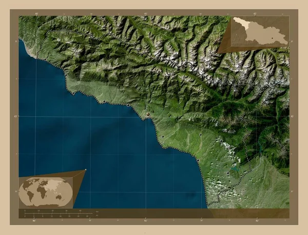
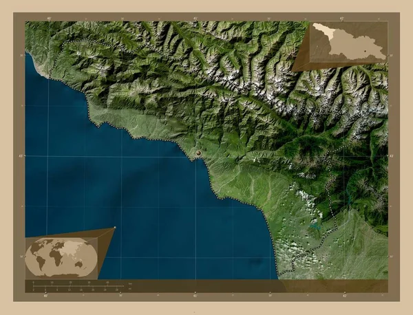
Abkhazia, autonomous republic of Georgia. Low resolution satellite map. Locations of major cities of the region. Corner auxiliary location maps
Abkhazia Autonomous Republic Georgia Low Resolution Satellite Map Locations Major — Stock Photo, Image
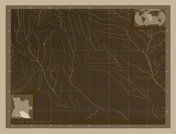
Cuando Cubango, province of Angola. Elevation map colored in sepia tones with lakes and rivers. Corner auxiliary location maps
Cuando Cubango Province Angola Elevation Map Colored Sepia Tones Lakes — Stock Photo, Image
Lac, region of Chad. Colored elevation map with lakes and rivers. Corner auxiliary location maps
Lac Region Chad Colored Elevation Map Lakes Rivers Corner Auxiliary — Stock Photo, Image
Pahang, state of Malaysia. Low resolution satellite map. Corner auxiliary location maps
Pahang State Malaysia Low Resolution Satellite Map Corner Auxiliary Location — Stock Photo, Image
Epirus, decentralized administration of Greece. Low resolution satellite map. Locations and names of major cities of the region. Corner auxiliary location maps
Epirus Decentralized Administration Greece Low Resolution Satellite Map Locations Names — Stock Photo, Image
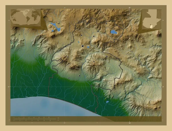
Santa Rosa, department of Guatemala. Colored elevation map with lakes and rivers. Locations of major cities of the region. Corner auxiliary location maps
Santa Rosa Department Guatemala Colored Elevation Map Lakes Rivers Locations — Stock Photo, Image
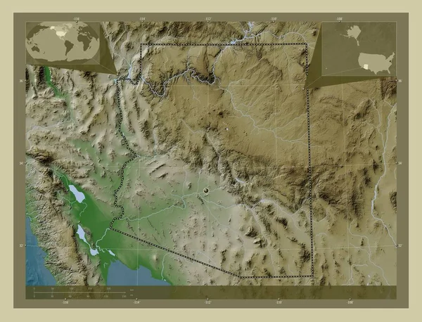
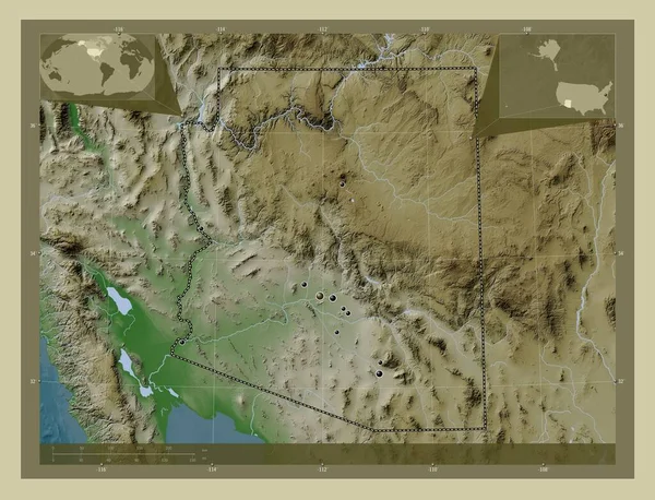
Arizona, state of United States of America. Elevation map colored in wiki style with lakes and rivers. Corner auxiliary location maps
Arizona State United States America Elevation Map Colored Wiki Style — Stock Photo, Image
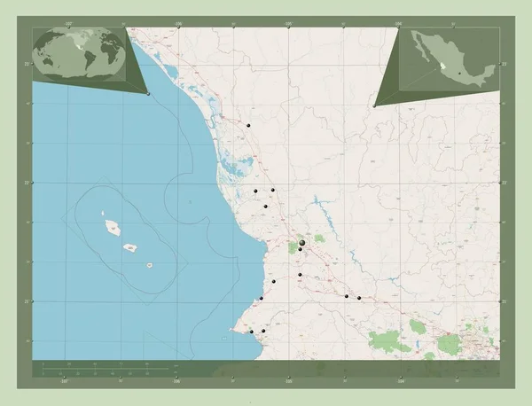
Nayarit, state of Mexico. Open Street Map. Locations of major cities of the region. Corner auxiliary location maps
Nayarit State Mexico Open Street Map Locations Major Cities Region — Stock Photo, Image
Fukushima, prefecture of Japan. High resolution satellite map. Locations of major cities of the region. Corner auxiliary location maps
Fukushima Prefecture Japan High Resolution Satellite Map Locations Major Cities — Stock Photo, Image
Tirane, county of Albania. Low resolution satellite map. Corner auxiliary location maps
Tirane County Albania Low Resolution Satellite Map Corner Auxiliary Location — Stock Photo, Image
Durres, county of Albania. High resolution satellite map. Locations and names of major cities of the region. Corner auxiliary location maps
Durres County Albania High Resolution Satellite Map Locations Names Major — Stock Photo, Image
Selangor, state of Malaysia. Low resolution satellite map. Corner auxiliary location maps
Selangor State Malaysia Low Resolution Satellite Map Corner Auxiliary Location — Stock Photo, Image
Jalisco, state of Mexico. Elevation map colored in sepia tones with lakes and rivers. Corner auxiliary location maps
Jalisco State Mexico Elevation Map Colored Sepia Tones Lakes Rivers — Stock Photo, Image
Map of Tanzania.
Map of Tanzania. — Stock Photo, Image
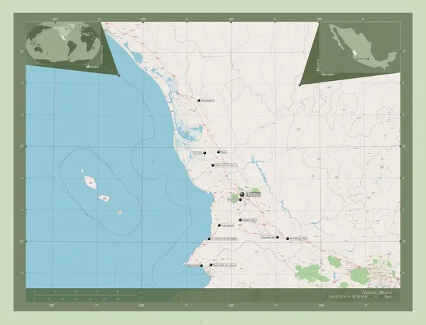
Nayarit, state of Mexico. Open Street Map. Locations and names of major cities of the region. Corner auxiliary location maps
Nayarit State Mexico Open Street Map Locations Names Major Cities — Stock Photo, Image
Licko-Senjska, county of Croatia. Elevation map colored in wiki style with lakes and rivers. Locations of major cities of the region. Corner auxiliary location maps
Licko Senjska County Croatia Elevation Map Colored Wiki Style Lakes — Stock Photo, Image
Map of Tanzania
Map of Tanzania — Stock Photo, Image
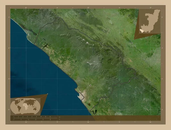
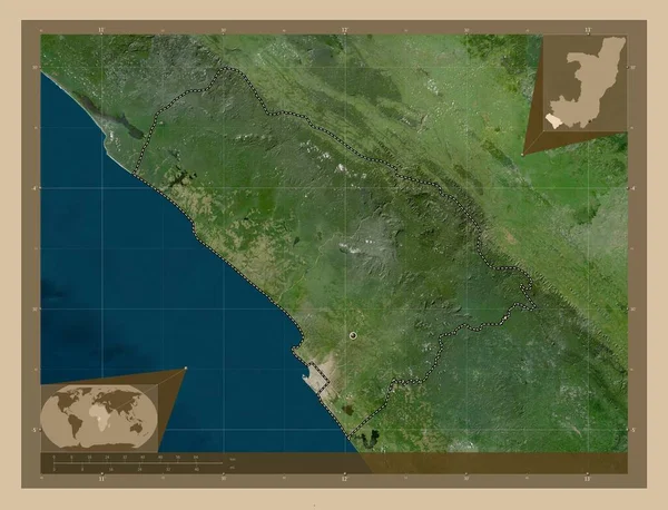
Kouilou, region of Republic of Congo. Low resolution satellite map. Corner auxiliary location maps
Kouilou Region Republic Congo Low Resolution Satellite Map Corner Auxiliary — Stock Photo, Image
Kouilou, region of Republic of Congo. Low resolution satellite map. Locations of major cities of the region. Corner auxiliary location maps
Kouilou Region Republic Congo Low Resolution Satellite Map Locations Major — Stock Photo, Image
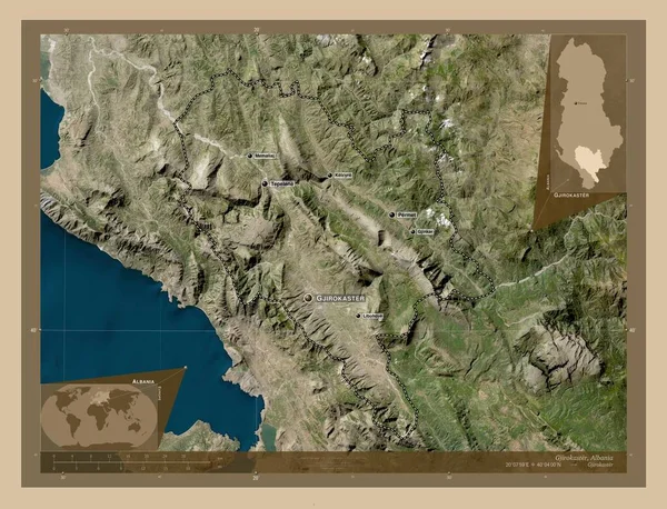
Gjirokaster, county of Albania. Low resolution satellite map. Locations and names of major cities of the region. Corner auxiliary location maps
Gjirokaster County Albania Low Resolution Satellite Map Locations Names Major — Stock Photo, Image
Campania, region of Italy. Colored elevation map with lakes and rivers. Locations of major cities of the region. Corner auxiliary location maps
Campania Region Italy Colored Elevation Map Lakes Rivers Locations Major — Stock Photo, Image
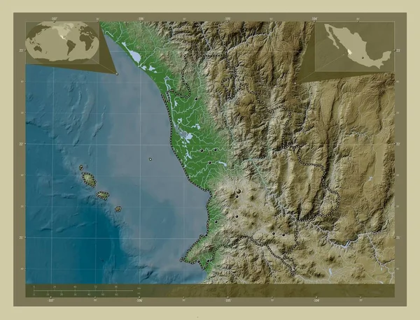
Nayarit, state of Mexico. Elevation map colored in wiki style with lakes and rivers. Locations of major cities of the region. Corner auxiliary location maps
Nayarit State Mexico Elevation Map Colored Wiki Style Lakes Rivers — Stock Photo, Image
Mayo-Kebbi Ouest, region of Chad. Solid color shape. Locations of major cities of the region. Corner auxiliary location maps
Mayo Kebbi Ouest Region Chad Solid Color Shape Locations Major — Stock Photo, Image
Arizona, state of United States of America. Elevation map colored in wiki style with lakes and rivers. Locations of major cities of the region. Corner auxiliary location maps
Arizona State United States America Elevation Map Colored Wiki Style — Stock Photo, Image
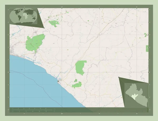
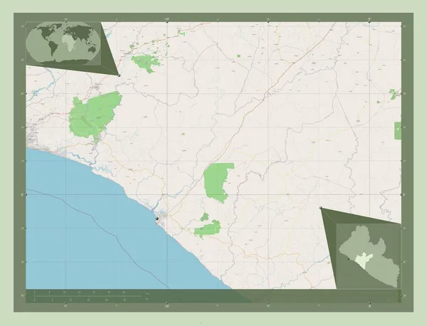
Grand Bassa, county of Liberia. Open Street Map. Corner auxiliary location maps
Grand Bassa County Liberia Open Street Map Corner Auxiliary Location — Stock Photo, Image
Grand Bassa, county of Liberia. Open Street Map. Locations of major cities of the region. Corner auxiliary location maps
Grand Bassa County Liberia Open Street Map Locations Major Cities — Stock Photo, Image
Abkhazia, autonomous republic of Georgia. Low resolution satellite map. Corner auxiliary location maps
Abkhazia Autonomous Republic Georgia Low Resolution Satellite Map Corner Auxiliary — Stock Photo, Image
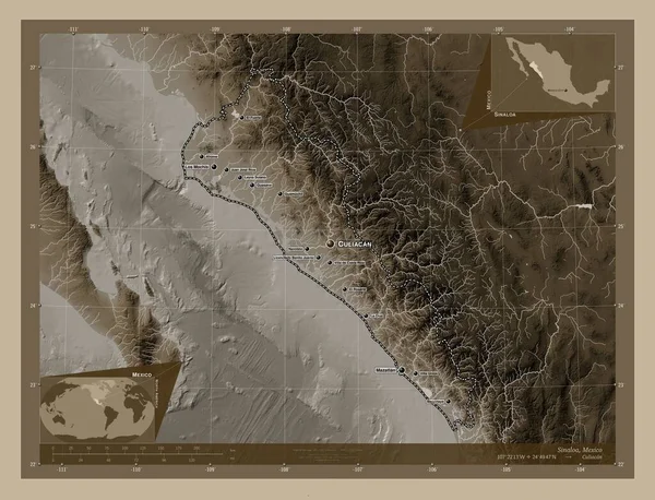
Sinaloa, state of Mexico. Elevation map colored in sepia tones with lakes and rivers. Locations and names of major cities of the region. Corner auxiliary location maps
Sinaloa State Mexico Elevation Map Colored Sepia Tones Lakes Rivers — Stock Photo, Image
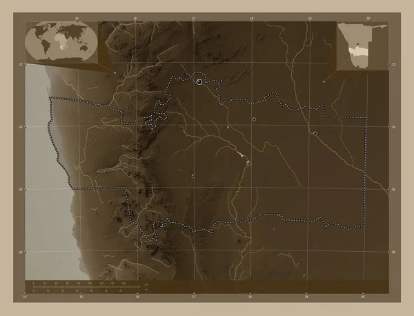
Hardap, region of Namibia. Elevation map colored in sepia tones with lakes and rivers. Corner auxiliary location maps
Hardap Region Namibia Elevation Map Colored Sepia Tones Lakes Rivers — Stock Photo, Image
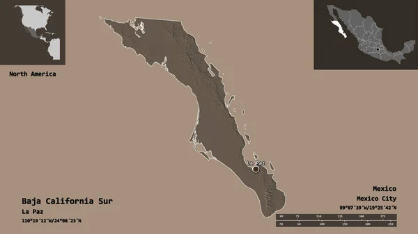
Shape of Baja California Sur, state of Mexico, and its capital. Distance scale, previews and labels. Colored elevation map. 3D rendering
Shape Baja California Sur State Mexico Its Capital Distance Scale — Stock Photo, Image
Lazio, region of Italy. Colored elevation map with lakes and rivers. Locations and names of major cities of the region. Corner auxiliary location maps
Lazio Region Italy Colored Elevation Map Lakes Rivers Locations Names — Stock Photo, Image
Bengo, province of Angola. Open Street Map. Locations and names of major cities of the region. Corner auxiliary location maps
Bengo Province Angola Open Street Map Locations Names Major Cities — Stock Photo, Image
Ararat, province of Armenia. Colored elevation map with lakes and rivers. Corner auxiliary location maps
Ararat Province Armenia Colored Elevation Map Lakes Rivers Corner Auxiliary — Stock Photo, Image
Selangor, state of Malaysia. Colored elevation map with lakes and rivers. Corner auxiliary location maps
Selangor State Malaysia Colored Elevation Map Lakes Rivers Corner Auxiliary — Stock Photo, Image
Blagoevgrad, province of Bulgaria. Low resolution satellite map. Corner auxiliary location maps
Blagoevgrad Province Bulgaria Low Resolution Satellite Map Corner Auxiliary Location — Stock Photo, Image
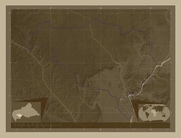
Ombella-M'Poko, prefecture of Central African Republic. Elevation map colored in sepia tones with lakes and rivers. Locations of major cities of the region. Corner auxiliary location maps
Ombella Poko Prefecture Central African Republic Elevation Map Colored Sepia — Stock Photo, Image
San Jose, province of Costa Rica. Low resolution satellite map. Corner auxiliary location maps
San Jose Province Costa Rica Low Resolution Satellite Map Corner — Stock Photo, Image
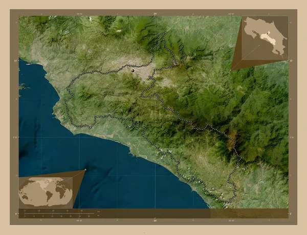
San Jose, province of Costa Rica. Low resolution satellite map. Locations of major cities of the region. Corner auxiliary location maps
San Jose Province Costa Rica Low Resolution Satellite Map Locations — Stock Photo, Image
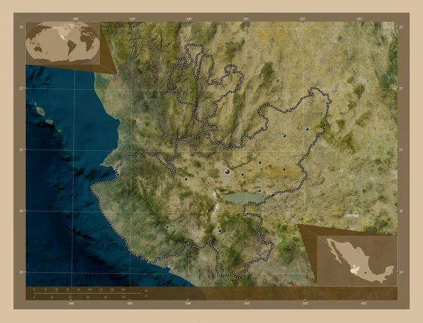
Jalisco, state of Mexico. Low resolution satellite map. Locations of major cities of the region. Corner auxiliary location maps
Jalisco State Mexico Low Resolution Satellite Map Locations Major Cities — Stock Photo, Image
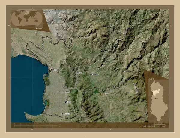
Lezhe, county of Albania. Low resolution satellite map. Locations and names of major cities of the region. Corner auxiliary location maps
Lezhe County Albania Low Resolution Satellite Map Locations Names Major — Stock Photo, Image

California Map Images: Explore the Golden State with High-Quality Stock Photos

The Perfect Visuals for California-themed Projects

As the third-largest state in America, California is a popular subject for many creative projects. Whether you're designing travel brochures, creating posters for local events, or developing educational materials, a high-quality California map image can be a valuable addition to your work.
At our stock photos platform, we offer a variety of California map images that capture the essence of the Golden State. You can choose from a wide range of formats, including JPG, AI, and EPS, depending on your needs and preferences.

Our selection of California map images features different styles and perspectives, allowing you to find the perfect visual for your project. You can choose from colorful, illustrated maps, detailed topographic maps, vintage-style maps, and more.

From the rugged beauty of the Sierra Nevada to the sunny beaches of San Diego, our California map images showcase the state's diverse landscape and attractions. You can use them to highlight local landmarks, tourist destinations, and cultural landmarks.

How to Choose the Right California Map Image for Your Project

When choosing a California map image for your project, it's important to consider the overall tone and message you want to convey. If you're creating a fun and lighthearted design, a colorful illustrated map might be the right choice. If you need a more serious and informative visual, a detailed topographic map might be more appropriate.

You should also pay attention to the resolution and size of the image, as well as its compatibility with your design software. At our stock photos platform, we offer high-quality California map images that are suitable for both digital and print projects.

Another important factor to consider is the licensing of the image. Make sure you have the necessary permissions and rights to use the image in your project, and that you comply with all applicable laws and regulations.

Benefits of Using California Map Images in Your Projects

Adding a California map image to your project can bring many benefits. It can help create a sense of place and context, providing visual cues that enhance the overall message of your design. It can also attract the attention of your audience and make your project stand out from the crowd.

Using a California map image can also make your project more engaging and interactive. You can use the map to highlight different areas and attractions, add text or graphics on top of it, or create a clickable map that leads to more information.

Our stock photos platform offers a variety of California map images that can be used in a wide range of projects, from marketing materials and educational resources to website designs and social media posts. With our high-quality visuals, you can create impactful and memorable projects that capture the beauty and spirit of the Golden State.

Get Your California Map Image Today

If you're looking for high-quality California map images to enhance your creative projects, our stock photos platform is your go-to source. With our diverse selection of images, easy licensing process, and affordable pricing, we make it easy for you to find the perfect visual for your project.

Visit our website today to browse our California map images and explore our other stock photos. Whether you're a designer, marketer, educator, or content creator, we have the visuals you need to bring your ideas to life.