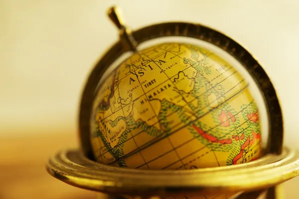
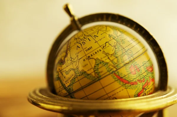
Vintage globe
Vintage globe — Stock Photo, Image
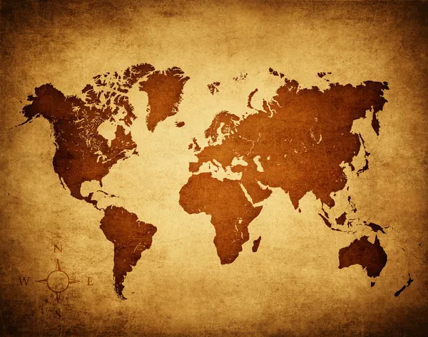
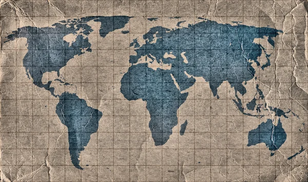
Old world map
Old world map — Stock Photo, Image
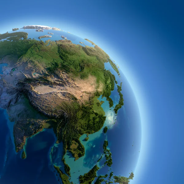
Earth with high relief, illuminated by the sun
Earth with high relief, illuminated by the sun — Stock Photo, Image
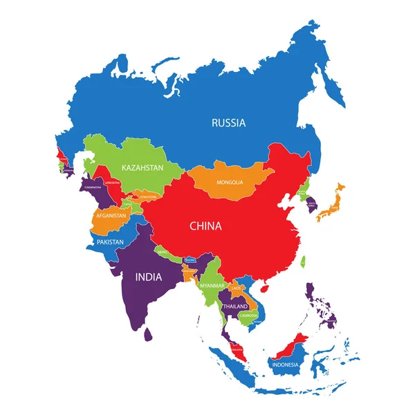
Asia map raster
Asia map raster — Stock Photo, Image
Grunge World Map
Grunge World Map — Stock Photo, Image
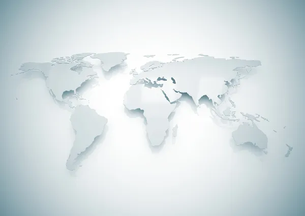
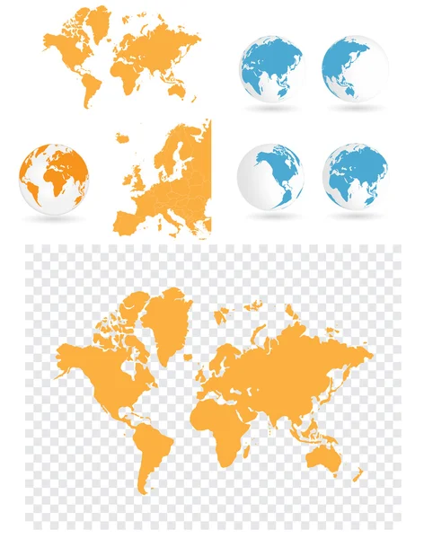
World map
World map — Stock Photo, Image
Close-up of a vintage globe
Close-up of a vintage globe — Stock Photo, Image
Close up of map with different countries
Close Map Different Countries — Stock Photo, Image
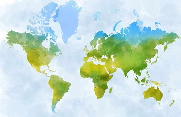
World watercolor map
World watercolor map — Stock Photo, Image
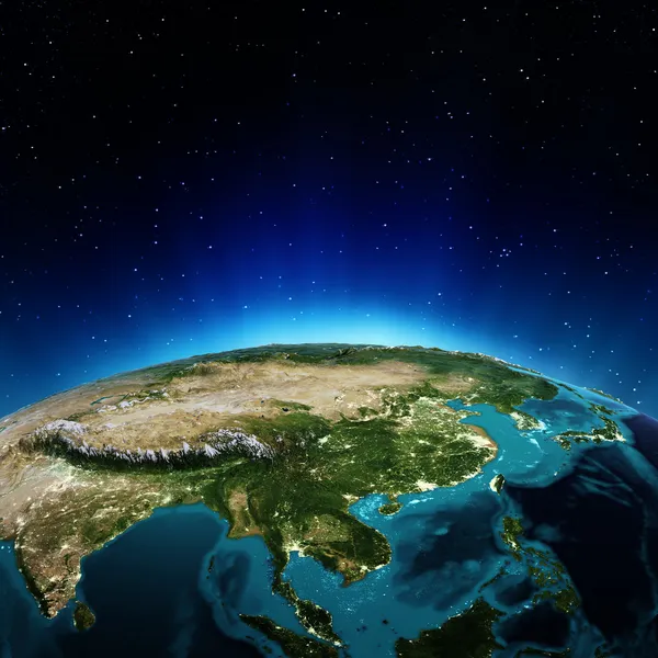
Central Asia. 3D rendering
Central Asia. 3D rendering — Stock Photo, Image
Concert background illustration
Concert background illustration — Stock Photo, Image
Asia
Asia — Stock Photo, Image
Highly detailed Earth at night with embossed continents
Highly detailed Earth at night with embossed continents — Stock Photo, Image
Main air routes in the Middle East and India
Main air routes in the Middle East and India — Stock Photo, Image
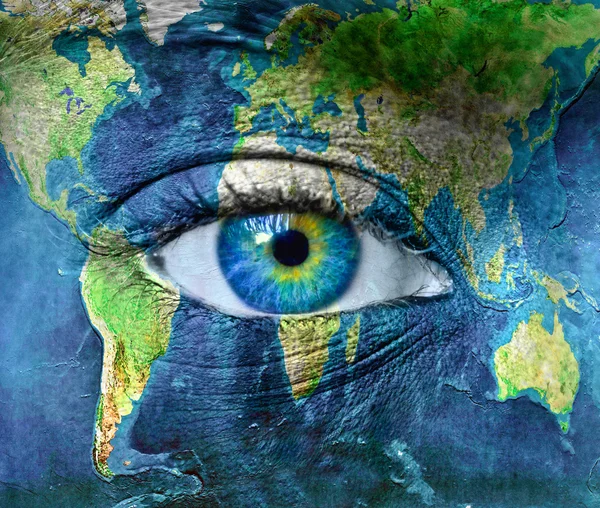
Planet earth and blue human eye
Planet earth and blue human eye — Stock Photo, Image
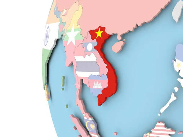
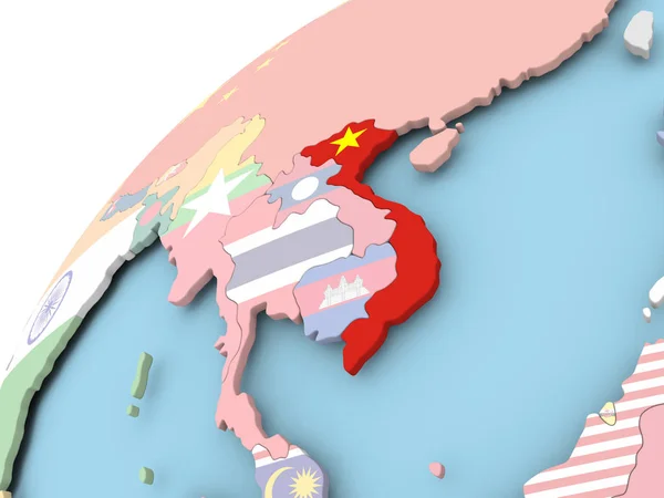
Flag of Vietnam on political globe
Flag of Vietnam on political globe — Stock Photo, Image
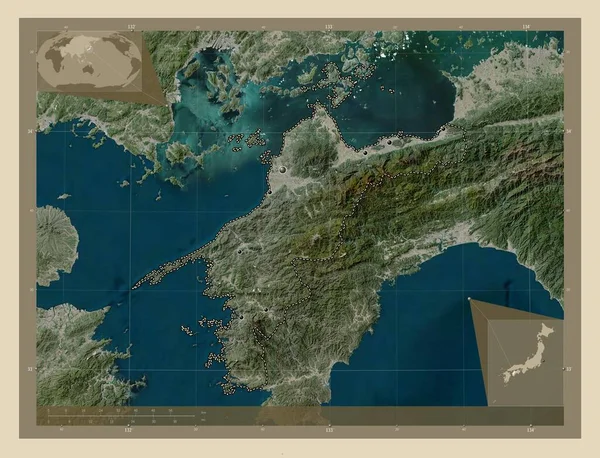
Ehime, prefecture of Japan. High resolution satellite map. Locations of major cities of the region. Corner auxiliary location maps
Ehime Prefecture Japan High Resolution Satellite Map Locations Major Cities — Stock Photo, Image
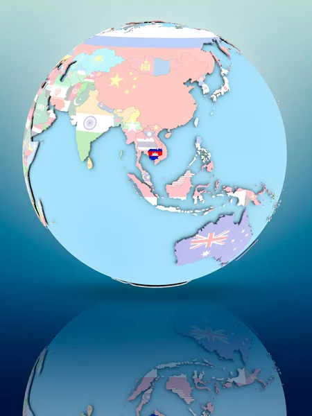
Cambodia on political globe with national flags on reflective surface. 3D illustration.
Cambodia Political Globe National Flags Reflective Surface Illustration — Stock Photo, Image
China on globe
China on globe — Stock Photo, Image
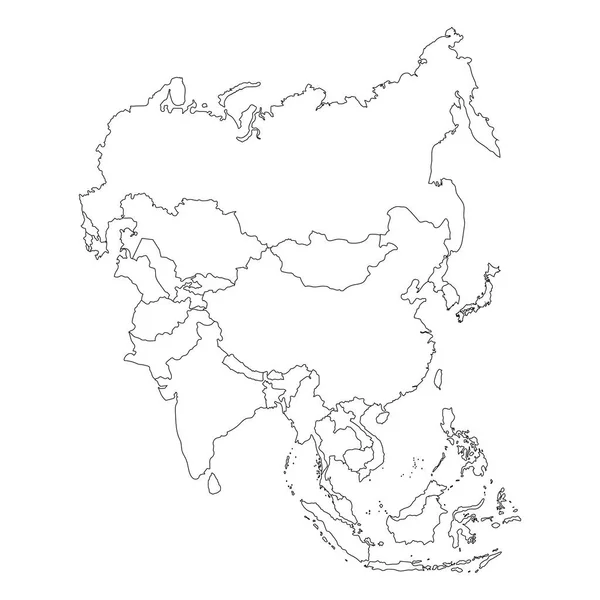
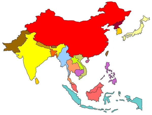
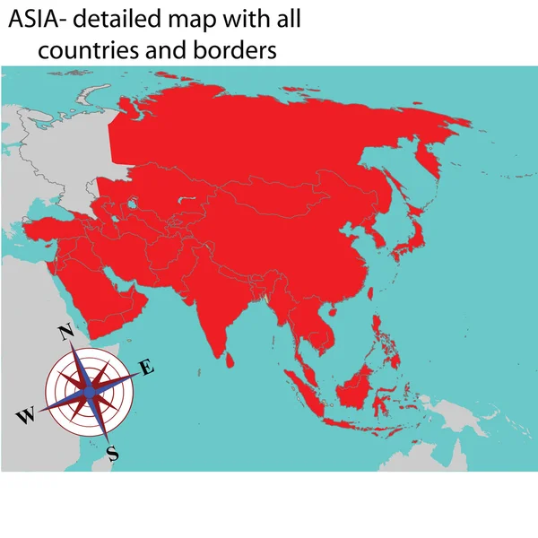
Asia map raster
Asia map raster — Stock Photo, Image
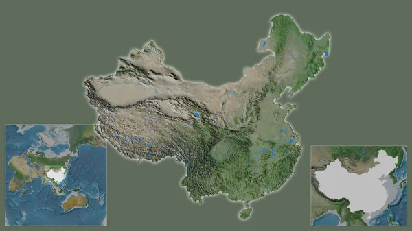
Close-up of China and its location in the region and in the center of a large-scale world map. Satellite imagery
Close China Its Location Region Center Large Scale World Map — Stock Photo, Image
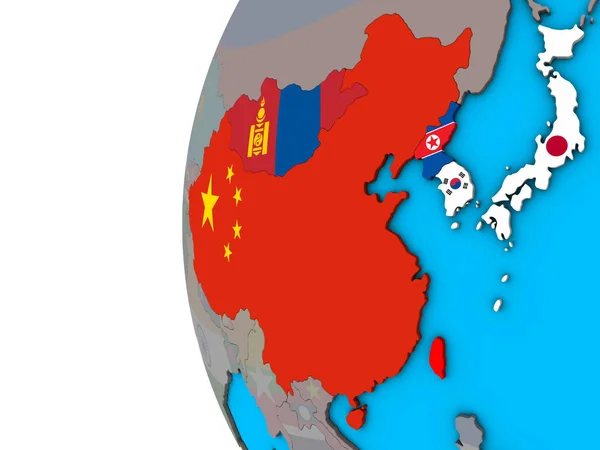
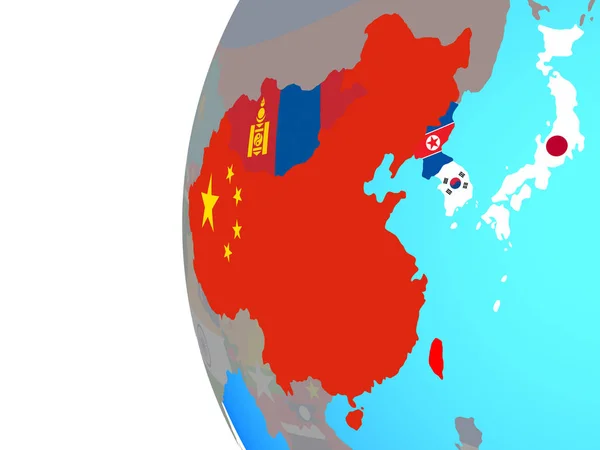
East Asia with national flags on blue political 3D globe. 3D illustration.
East Asia National Flags Blue Political Globe Illustration — Stock Photo, Image
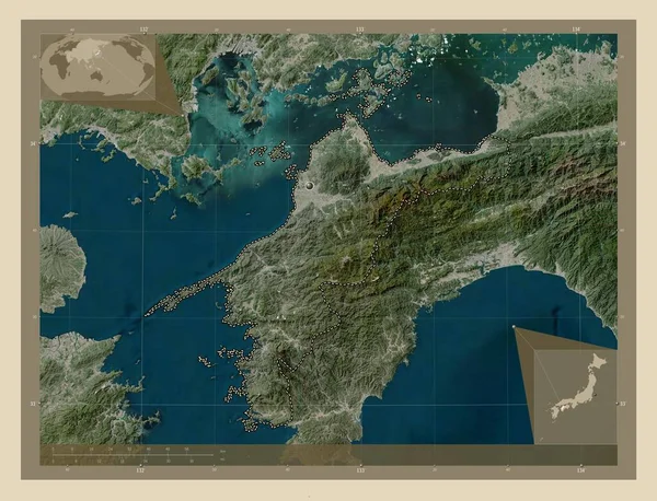
Ehime, prefecture of Japan. High resolution satellite map. Corner auxiliary location maps
Ehime Prefecture Japan High Resolution Satellite Map Corner Auxiliary Location — Stock Photo, Image
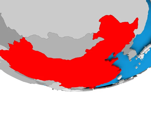
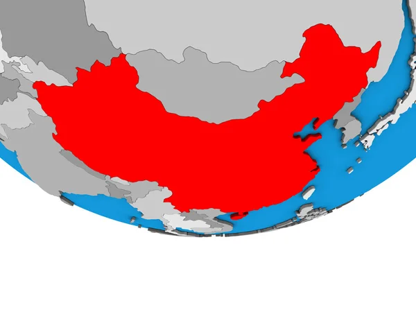
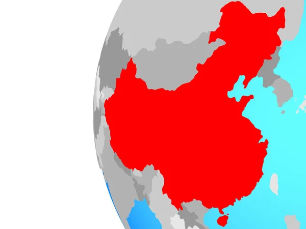
China highlighted in red on blue political globe with transparent oceans. 3D illustration.
China Highlighted Red Blue Political Globe Transparent Oceans Illustration — Stock Photo, Image
Yamaguchi, prefecture of Japan. Low resolution satellite map. Corner auxiliary location maps
Yamaguchi Prefecture Japan Low Resolution Satellite Map Corner Auxiliary Location — Stock Photo, Image
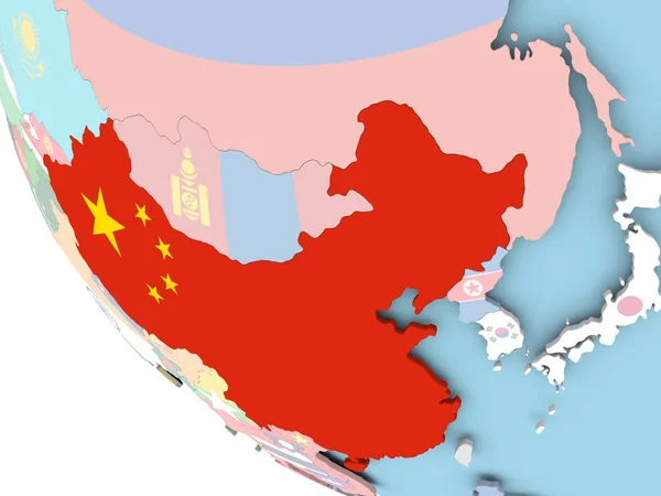
China with flag on globe
China with flag on globe — Stock Photo, Image
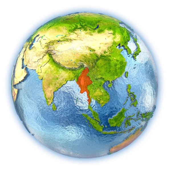
Myanmar on isolated globe
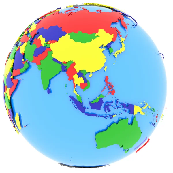
Myanmar on isolated globe — Stock Photo, Image
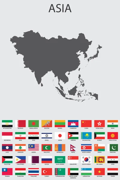
Set of Infographic Elements for the Country of Asia
Set of Infographic Elements for the Country of Asia — Stock Photo, Image
China in red on simple grey political globe with visible country borders and transparent oceans. 3D illustration.
China Red Simple Grey Political Globe Visible Country Borders Transparent — Stock Photo, Image
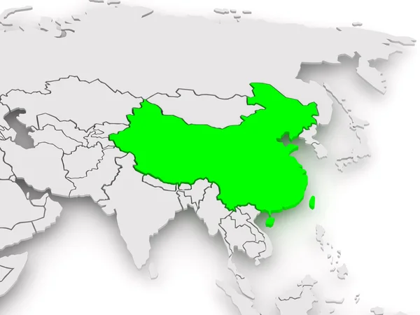
Map of worlds. China.
Map of worlds. China. — Stock Photo, Image
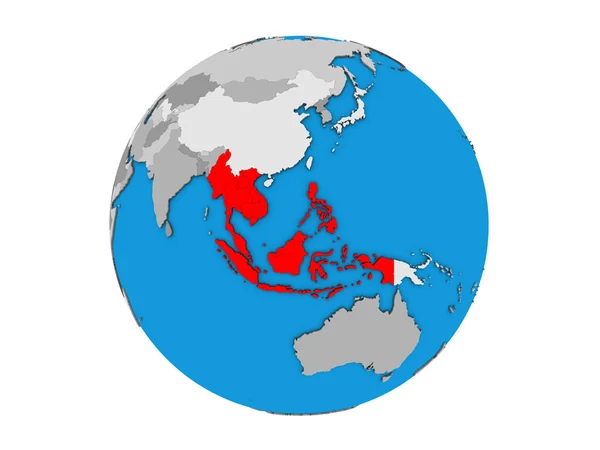
South East Asia on blue political 3D globe. 3D illustration isolated on white background.
South East Asia Blue Political Globe Illustration Isolated White Background — Stock Photo, Image
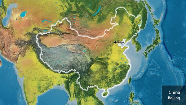
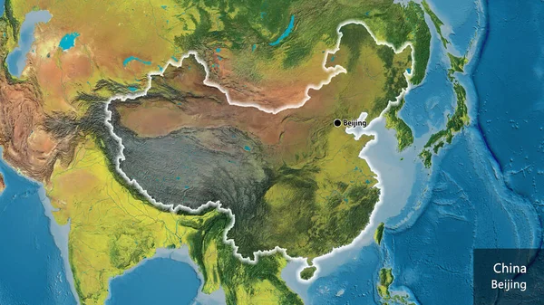
Close-up of the China border area on a topographic map. Capital point. Glow around the country shape. English name of the country and its capital
Close China Border Area Topographic Map Capital Point Glow Country — Stock Photo, Image
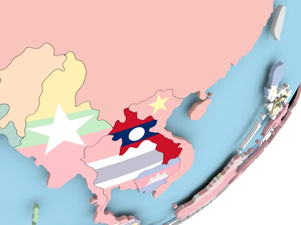
Illustration of Laos on political globe with embedded flag. 3D illustration.
Illustration Laos Political Globe Embedded Flag Illustration — Stock Photo, Image
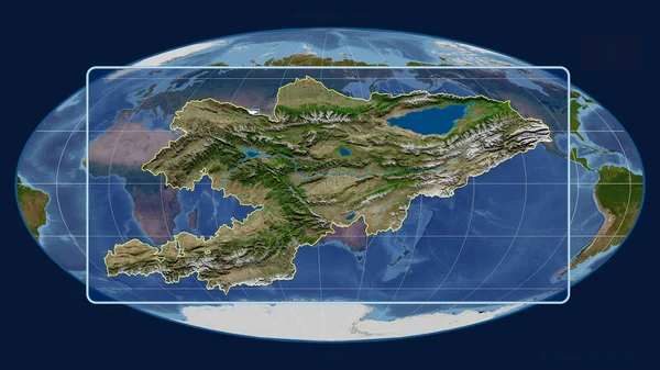
Zoomed-in view of Kyrgyzstan outline with perspective lines against a global map in the Mollweide projection. Shape centered. satellite imagery
Zoomed View Kyrgyzstan Outline Perspective Lines Global Map Mollweide Projection — Stock Photo, Image
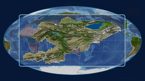
Zoomed-in view of Kyrgyzstan outline with perspective lines against a global map in the Mollweide projection. Shape centered. satellite imagery
Zoomed View Kyrgyzstan Outline Perspective Lines Global Map Mollweide Projection — Stock Photo, Image
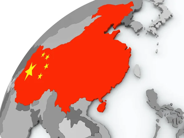
Flag of China on grey globe
Flag of China on grey globe — Stock Photo, Image
South East Asia
South East Asia — Stock Photo, Image
Southeast Asia on Earth
Southeast Asia on Earth — Stock Photo, Image
Map of Asia
Map of Asia — Stock Photo, Image
Color map with countries as background
Color Map Countries Background — Stock Photo, Image
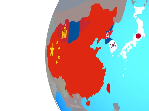
East Asia with embedded national flags on globe. 3D illustration.
East Asia Embedded National Flags Globe Illustration — Stock Photo, Image
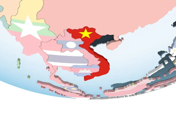
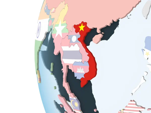
Vietnam on bright political globe with embedded flag. 3D illustration.
Vietnam Bright Political Globe Embedded Flag Illustration — Stock Photo, Image
East Asia with embedded national flags on blue political globe. 3D illustration.
East Asia Embedded National Flags Blue Political Globe Illustration — Stock Photo, Image
East Asia with embedded national flags on blue political globe. 3D illustration.
East Asia Embedded National Flags Blue Political Globe Illustration — Stock Photo, Image
East Asia with embedded national flags on blue political globe. 3D illustration.
East Asia Embedded National Flags Blue Political Globe Illustration — Stock Photo, Image
East Asia with embedded national flags on blue political globe. 3D illustration.
East Asia Embedded National Flags Blue Political Globe Illustration — Stock Photo, Image
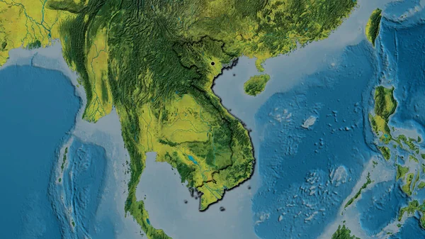
Close-up of the Vietnam border area on a topographic map. Capital point. Bevelled edges of the country shape.
Close Vietnam Border Area Topographic Map Capital Point Bevelled Edges — Stock Photo, Image
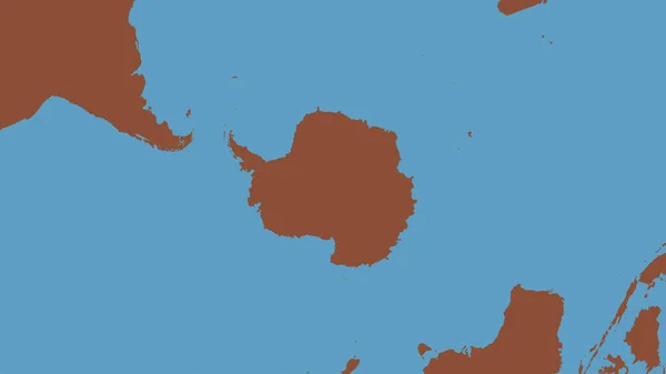
Pattern map of the area around the Antarctic tectonic plate. 3D rendering
Pattern Map Area Antarctic Tectonic Plate Rendering — Stock Photo, Image
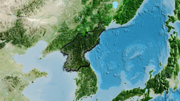
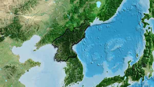
Close-up of the North Korea border area highlighting with a dark overlay on a satellite map. Capital point. Bevelled edges of the country shape.
Close North Korea Border Area Highlighting Dark Overlay Satellite Map — Stock Photo, Image
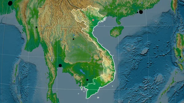
Vietnam outlined on the physical orthographic map. Capital, administrative borders and graticule
Vietnam Outlined Physical Orthographic Map Capital Administrative Borders Graticule — Stock Photo, Image
Krong Preah Sihanouk, municipality of Cambodia. Satellite imagery. Shape presented against its country area with informative overlays. 3D rendering
Krong Preah Sihanouk Municipality Cambodia Satellite Imagery Shape Presented Its — Stock Photo, Image
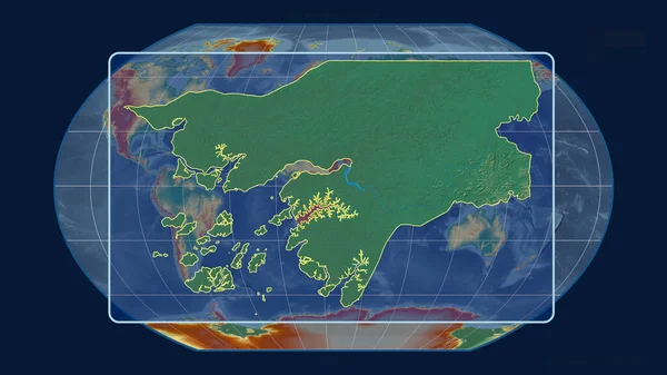
Zoomed-in view of Guinea-Bissau outline with perspective lines against a global map in the Kavrayskiy projection. Shape centered. topographic relief map
Zoomed View Guinea Bissau Outline Perspective Lines Global Map Kavrayskiy — Stock Photo, Image
China on simple political 3D globe. 3D illustration.
China Simple Political Globe Illustration — Stock Photo, Image
Laos on political globe
Laos on political globe — Stock Photo, Image
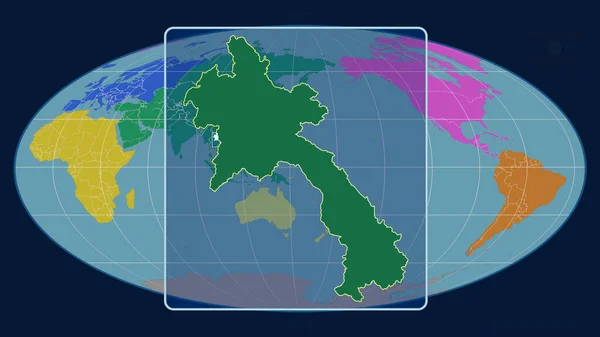
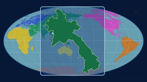
Zoomed-in view of Laos outline with perspective lines against a global map in the Mollweide projection. Shape centered. color map of continents
Zoomed View Laos Outline Perspective Lines Global Map Mollweide Projection — Stock Photo, Image
Zoomed-in view of Laos outline with perspective lines against a global map in the Mollweide projection. Shape centered. color map of continents
Zoomed View Laos Outline Perspective Lines Global Map Mollweide Projection — Stock Photo, Image
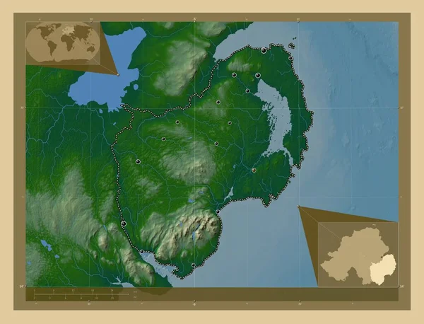
Down, region of Northern Ireland. Colored elevation map with lakes and rivers. Locations of major cities of the region. Corner auxiliary location maps
Region Northern Ireland Colored Elevation Map Lakes Rivers Locations Major — Stock Photo, Image
Map of worlds. China.
Map of worlds. China. — Stock Photo, Image
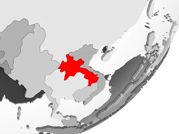
Illustration of Laos highlighted in red on grey globe with transparent oceans. 3D illustration.
Illustration Laos Highlighted Red Grey Globe Transparent Oceans Illustration — Stock Photo, Image
Eurasia illustration. Europe and Asia illustration with text.
Eurasia Illustration Europe Asia Illustration Text — Stock Photo, Image
World Map Illustration
World Map Illustration — Stock Photo, Image
Yamaguchi, prefecture of Japan. Low resolution satellite map. Locations of major cities of the region. Corner auxiliary location maps
Yamaguchi Prefecture Japan Low Resolution Satellite Map Locations Major Cities — Stock Photo, Image
Laos with national flag
Laos with national flag — Stock Photo, Image
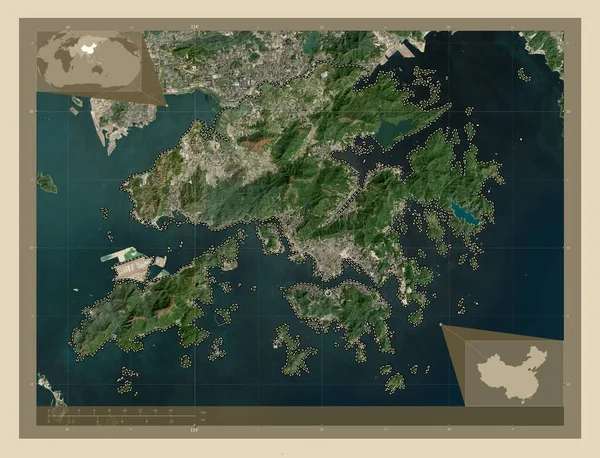
Hong Kong, autonomous region of China. High resolution satellite map. Corner auxiliary location maps
Hong Kong Autonomous Region China High Resolution Satellite Map Corner — Stock Photo, Image
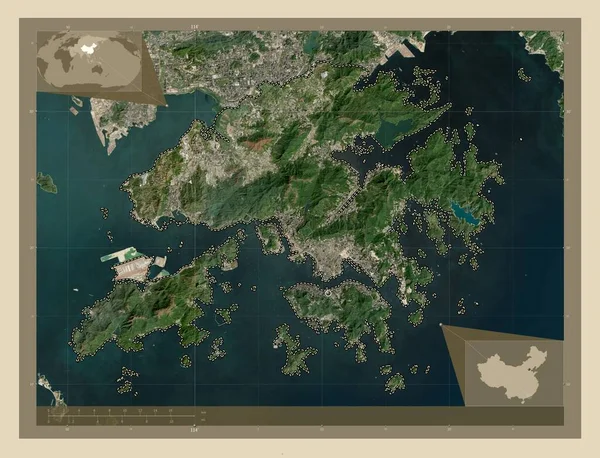
Hong Kong, autonomous region of China. High resolution satellite map. Locations of major cities of the region. Corner auxiliary location maps
Hong Kong Autonomous Region China High Resolution Satellite Map Locations — Stock Photo, Image
World Map
World Map — Stock Photo, Image
Vietnam on globe with flag
Vietnam on globe with flag — Stock Photo, Image
Map of Vietnam with flag on globe
Map of Vietnam with flag on globe — Stock Photo, Image
ASEAN memeber states with embedded national flags on simple political 3D globe. 3D illustration.
Asean Memeber States Embedded National Flags Simple Political Globe Illustration — Stock Photo, Image
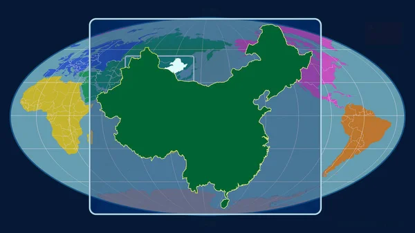
Zoomed-in view of China outline with perspective lines against a global map in the Mollweide projection. Shape centered. color map of continents
Zoomed View China Outline Perspective Lines Global Map Mollweide Projection — Stock Photo, Image
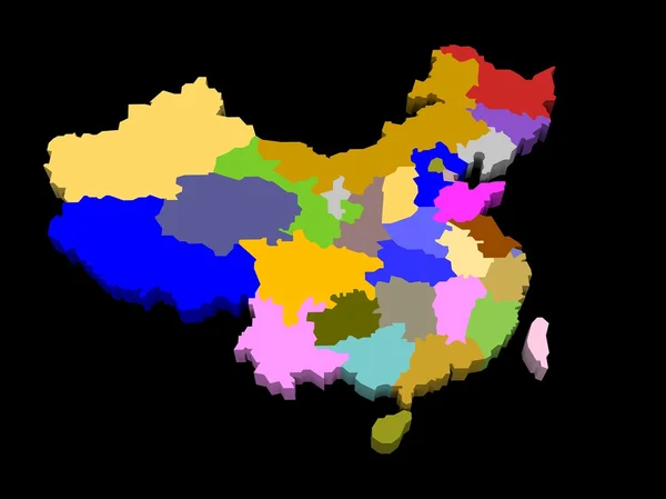
Illustration of the provinces of china
Illustration of the provinces of china — Stock Photo, Image
South Korea with national flag on blue political 3D globe. 3D illustration.
South Korea National Flag Blue Political Globe Illustration — Stock Photo, Image
Close-up of the North Korea border area highlighting with a dark overlay on a satellite map. Capital point. Bevelled edges of the country shape.
Close North Korea Border Area Highlighting Dark Overlay Satellite Map — Stock Photo, Image
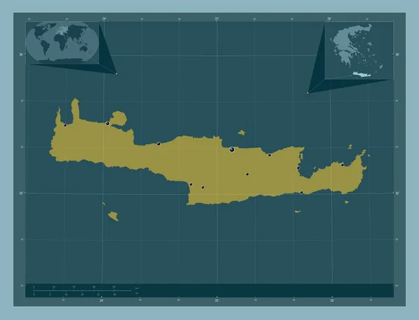
Crete, decentralized administration of Greece. Solid color shape. Locations of major cities of the region. Corner auxiliary location maps
Crete Decentralized Administration Greece Solid Color Shape Locations Major Cities — Stock Photo, Image
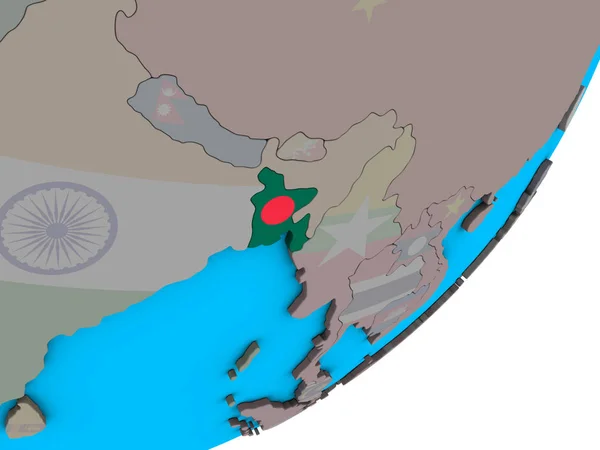
Bangladesh with national flag on blue political 3D globe. 3D illustration.
Bangladesh National Flag Blue Political Globe Illustration — Stock Photo, Image
Close-up of the China border area highlighting with a dark overlay on a topographic map. Capital point. Glow around the country shape. English name of the country and its capital
Close China Border Area Highlighting Dark Overlay Topographic Map Capital — Stock Photo, Image
China on blue political globe. 3D illustration.
China Blue Political Globe Illustration — Stock Photo, Image
China in red on grey model of political globe with transparent oceans. 3D illustration.
China Red Grey Model Political Globe Transparent Oceans Illustration — Stock Photo, Image
Indonesia on blue globe
Indonesia on blue globe — Stock Photo, Image
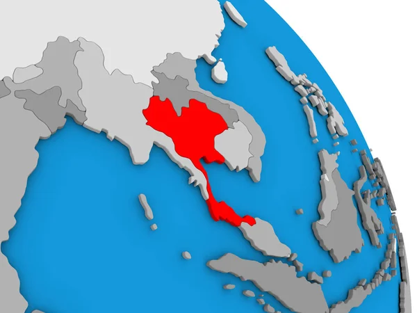
Thailand on globe
Thailand on globe — Stock Photo, Image
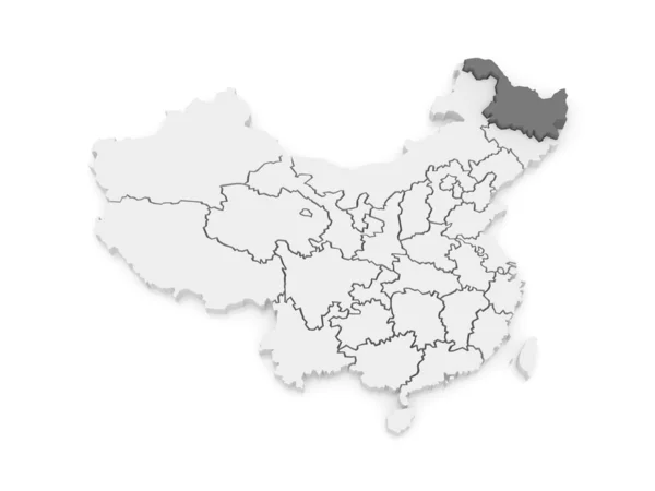
Map of Heilongjiang. China.
Map of Heilongjiang. China. — Stock Photo, Image
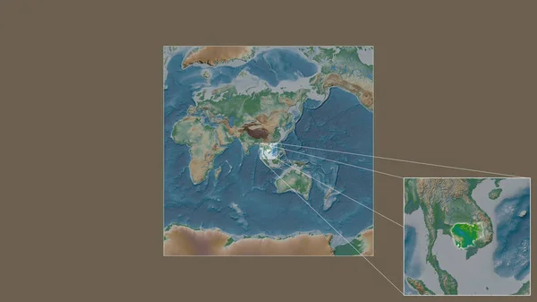
Expanded and enlarged area of Cambodia extracted from the large-scale map of the world with leading lines connecting the corners of the frames. Color physical map
Expanded Enlarged Area Cambodia Extracted Large Scale Map World Leading — Stock Photo, Image
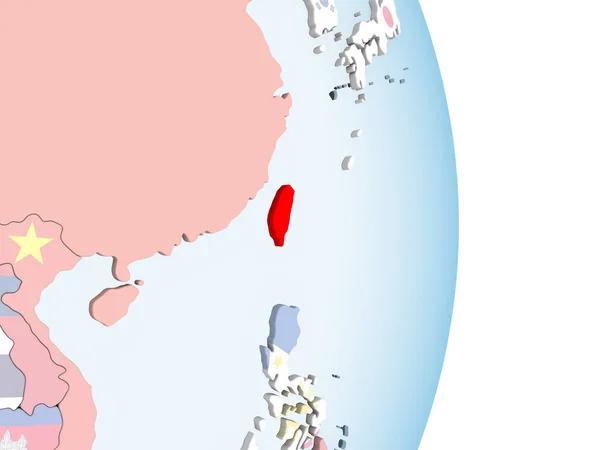
Taiwan on bright political globe with embedded flag. 3D illustration.
Taiwan Bright Political Globe Embedded Flag Illustration — Stock Photo, Image
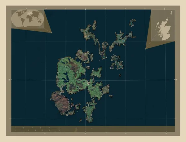
Orkney Islands, region of Scotland - Great Britain. High resolution satellite map. Corner auxiliary location maps
Orkney Islands Region Scotland Great Britain High Resolution Satellite Map — Stock Photo, Image
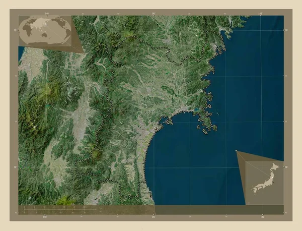
Miyagi, prefecture of Japan. High resolution satellite map. Corner auxiliary location maps
Miyagi Prefecture Japan High Resolution Satellite Map Corner Auxiliary Location — Stock Photo, Image
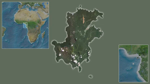
Close-up of Principe and its location in the region and in the center of a large-scale world map. Satellite imagery
Close Principe Its Location Region Center Large Scale World Map — Stock Photo, Image
Zoomed-in view of Laos outline with perspective lines against a global map in the Mollweide projection. Shape centered. color map of administrative divisions
Zoomed View Laos Outline Perspective Lines Global Map Mollweide Projection — Stock Photo, Image
China on blue globe
China on blue globe — Stock Photo, Image
Asia map
Asia map — Stock Photo, Image
Yamaguchi, prefecture of Japan. High resolution satellite map. Locations of major cities of the region. Corner auxiliary location maps
Yamaguchi Prefecture Japan High Resolution Satellite Map Locations Major Cities — Stock Photo, Image
Vietnam on bright political globe with embedded flag. 3D illustration.
Vietnam Bright Political Globe Embedded Flag Illustration — Stock Photo, Image
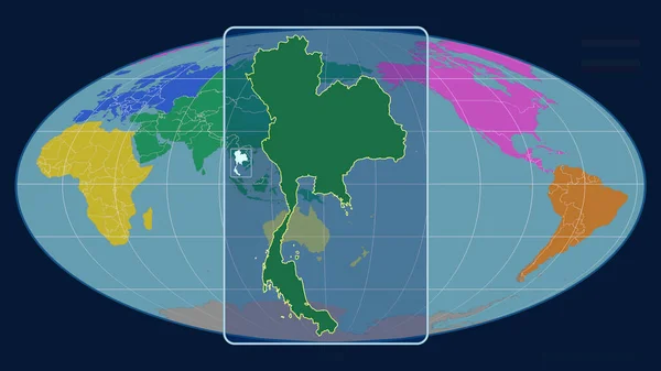
Zoomed-in view of Thailand outline with perspective lines against a global map in the Mollweide projection. Shape centered. color map of continents
Zoomed View Thailand Outline Perspective Lines Global Map Mollweide Projection — Stock Photo, Image
South East Asia from space on model of planet Earth with country borders and very detailed planet surface. 3D illustration. Elements of this image furnished by NASA.
South East Asia Space Model Planet Earth Country Borders Very — Stock Photo, Image
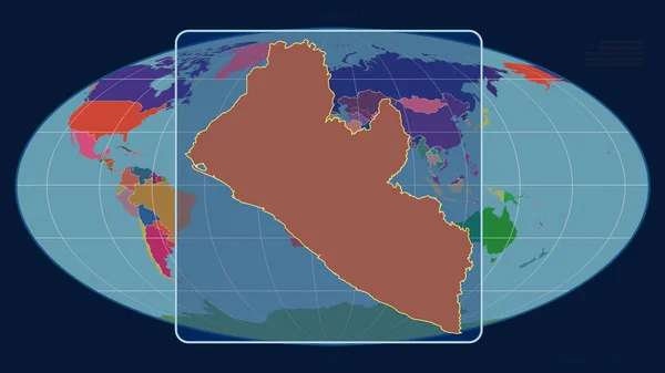
Zoomed-in view of Liberia outline with perspective lines against a global map in the Mollweide projection. Shape centered. color map of administrative divisions
Zoomed View Liberia Outline Perspective Lines Global Map Mollweide Projection — Stock Photo, Image
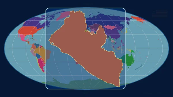
Zoomed-in view of Liberia outline with perspective lines against a global map in the Mollweide projection. Shape centered. color map of administrative divisions
Zoomed View Liberia Outline Perspective Lines Global Map Mollweide Projection — Stock Photo, Image

Related image searches

Explore the Best Asia Map Images for Your Projects

Are you looking for high-quality and visually appealing Asia map images for your project? You have come to the right place! We offer a vast collection of stunning Asia map images that can add life and vibrancy to your work. With these images, you can showcase the beauty and diversity of the Asian continent. You can use them for various purposes such as educational, presentation, and commercial projects.

Types of Asia Map Images

We have a diverse collection of Asia map images that you can choose from. Our collection includes both cultural and physical maps of Asia in different styles, colors, and designs. Whether you are looking for a modern or vintage style, colored or black-and-white maps, you will find exactly what you are looking for. Our collection includes vector, JPG, and EPS files that allow you to edit and modify the images according to your requirements.

Where to Use Asia Map Images

Asia map images are versatile and can be used in various projects. They can be used for educational purposes such as creating geography projects, presentations, and teaching materials for students. Asia map images are also useful for travel websites, blogs, and brochures to showcase different countries and cultures. Additionally, they can be used in commercial projects such as creating advertisements, banners, and posters. These images can help your project stand out and grab the attention of your audience.

Why Choose Our Asia Map Images

Our collection of Asia map images stands out from the rest because of their high quality and vibrant design. These images are carefully selected to ensure that they meet the needs of our clients. Additionally, they are available at an affordable price, making them accessible to everyone. Our easy-to-use website allows you to quickly find the image you need and download it instantly. With our collection, you can rest assured that you can find the perfect image for your project.

Tips for Using Asia Map Images

When using Asia map images, it is essential to choose the right image that perfectly fits your project. Consider the color scheme, style, and overall design to ensure that it complements your work. Additionally, do not forget to attribute the source of the image to avoid any legal issues. Lastly, make sure to use high-quality images to create a professional-looking project.

Overall, our collection of Asia map images offers a diverse range of options that cater to various needs. You can use them for educational, commercial, and personal projects. Our affordable prices and easy-to-use website make it easy for you to find and download the perfect image quickly. So, browse our collection today and find the perfect Asia map image for your project!