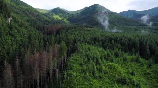
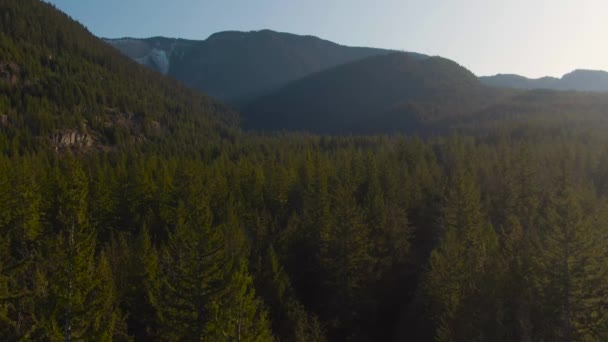
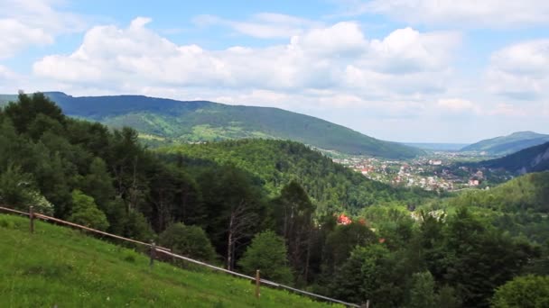
Scenic Route Aerial View — Stock Photo, Image

Scenic Route Aerial View — Photo

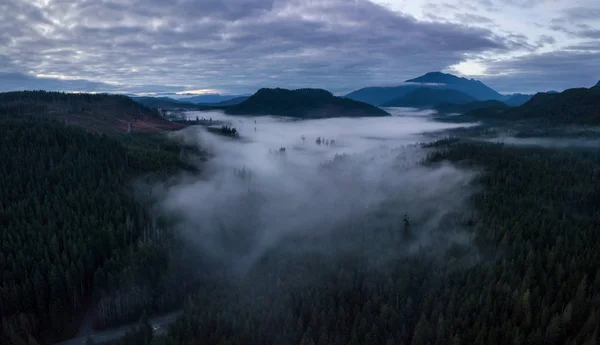
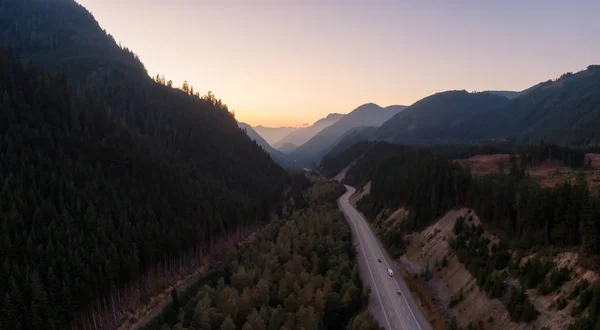
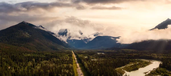
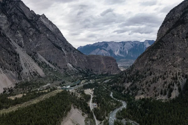
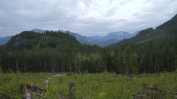
Aerial panoramic drone view of a scenic highway by the beautiful Canadian Landscape covered in clouds and fog. Taken in Vancouver Island, British Columbia, Canada.

 — Photo by edb3_16

Same Series:

Aerial drone panoramic landscape view of a beautiful Canadian Landscape during a cloudy sunset. Taken in Vancouver Island, British Columbia, Canada.
Aerial Drone Landscape — Stock Photo, Image
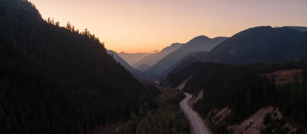
Aerial View of a Scenic Road in the Valley surrounded by Canadian Mountain Landscape during a sunny summer sunset. Taken near Hope, East of Vancouver, BC, Canada.
Aerial View Scenic Road Valley Surrounded Canadian Mountain Landscape Sunny — Stock Photo, Image
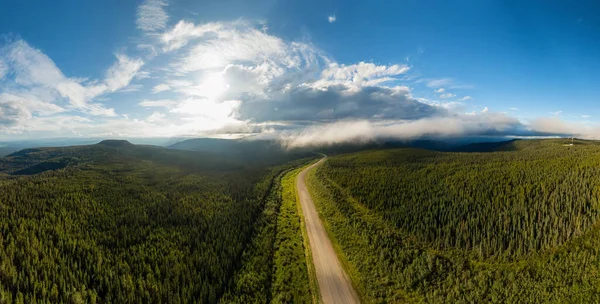
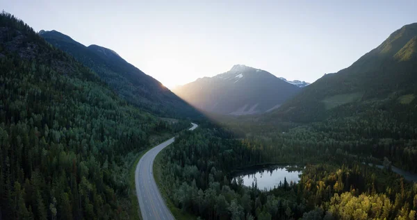
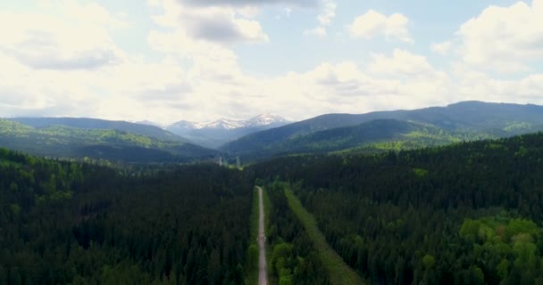
Beautiful Panoramic View of Scenic Road from Above surrounded by Lush Forest and Mountains. Aerial Drone Shot. Alaska Highway, West of Fort Nelson. Northern Rockies, British Columbia, Canada.
Aerial View of Scenic Road in Canadian Nature — Stock Photo, Image
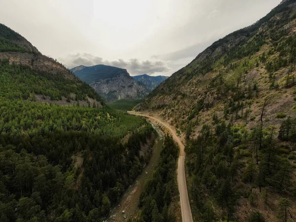
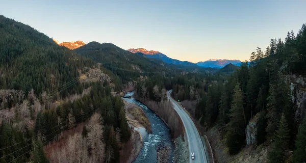
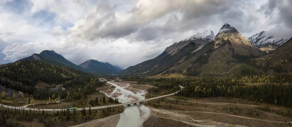
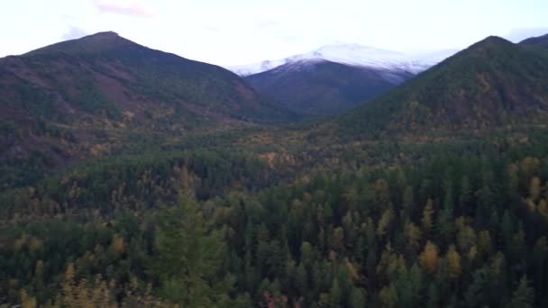
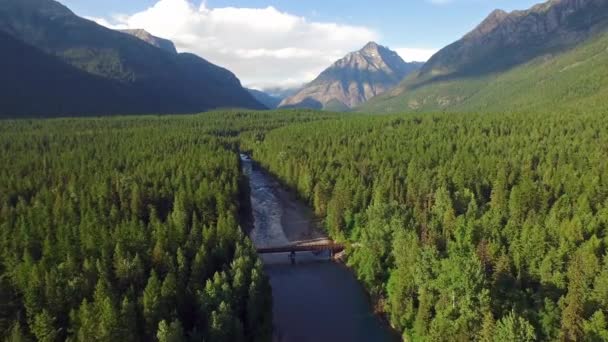
Beautiful View of Scenic Road from Above surrounded by Mountains, Trees and River Bed during Fall in Canadian Nature. Aerial Drone Shot. Taken near Dempster Highway, Yukon, Canada.
Aerial View of Yukon, Canada — Stock Photo, Image
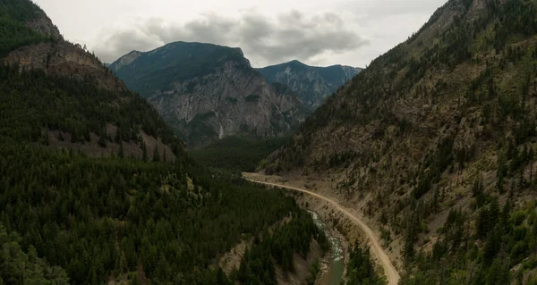
Aerial Panoramic View of a Scenic Dirt Road towards Gold Bridge in the Valley surrounded by Canadian Mountain Landscape. Taken near Lillooet, British Columbia, Canada.
Aerial Panoramic View Scenic Dirt Road Gold Bridge Valley Surrounded — Stock Photo, Image
Aerial Panoramic View of Beautiful Canadian Mountain Landscape above the clouds during a sunny day. Located on the West Coast of Vancouver Island near Tofino and Ucluelet, British Columbia, Canada.
Aerial Panoramic View Beautiful Canadian Mountain Landscape Clouds Sunny Day — Stock Photo, Image
Aerial View of a Scenic Road in the Valley surrounded by Canadian Mountain Landscape during a sunny summer sunset. Taken near Hope, East of Vancouver, BC, Canada.
Aerial View Scenic Road Valley Surrounded Canadian Mountain Landscape Sunny — Stock Photo, Image
Aerial Panoramic View of a Scenic Dirt Road towards Gold Bridge in the Valley surrounded by Canadian Mountain Landscape. Taken near Lillooet, British Columbia, Canada.
Aerial Panoramic View Scenic Dirt Road Gold Bridge Valley Surrounded — Stock Photo, Image
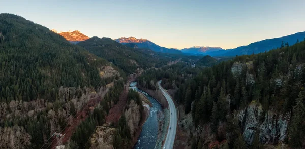
Aerial Panoramic View of the Famous Scenic Drive, Sea to Sky Highway, during a colorful sunrise. Located between Squamish and Whistler, North of Vancouver, British Columbia, Canada.
Aerial Panoramic View Famous Scenic Drive Sea Sky Highway Colorful — Stock Photo, Image
Striking aerial panoramic landscape view of a scenic road in the valley surrounded by the beautiful Canadian Mountains. Located near Revelstoke, BC, Canada.
Striking Aerial Panoramic Landscape View Scenic Road Valley Surrounded Beautiful — Stock Photo, Image
Striking aerial panoramic view of a scenic road in the Canadian Mountain Landscape during a cloudy and rainy evening. Located near Golden, British Columbia, Canada.
Striking Aerial Panoramic View Scenic Road Canadian Mountain Landscape Cloudy — Stock Photo, Image
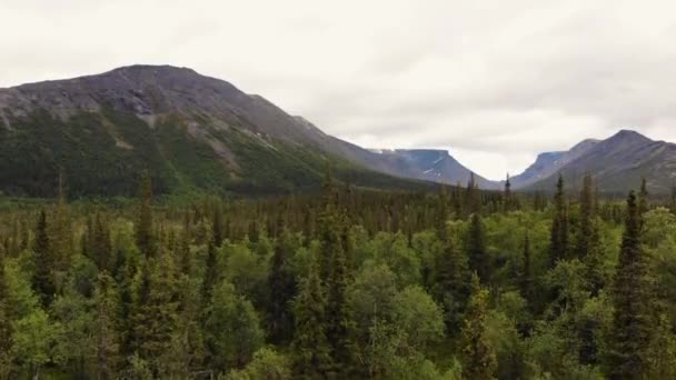
Aerial view of a scenic road in the Canadian Landscape during a vibrant cloudy summer day. Taken in Northern Vancouver Island, BC, Canada.
Aerial View Scenic Road Canadian Landscape Vibrant Cloudy Summer Day — Stock Photo, Image
Aerial Panoramic View of Scenic Road in the Beautiful Canadian Mountain Landscape during a sunny and cloudy summer sunrise. Taken near Mt Robson, British Columbia, Canada.
Scenic Road in the Beautiful Canadian Mountain Landscape — Stock Photo, Image
Aerial Panoramic View of the Famous Scenic Drive, Sea to Sky Highway, during a colorful sunrise. Located between Squamish and Whistler, North of Vancouver, British Columbia, Canada.
Aerial Panoramic View Famous Scenic Drive Sea Sky Highway Colorful — Stock Photo, Image
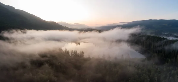
Aerial Panoramic View of Fairy Lake covered in clouds during a vibrant summer sunrise. Taken near Port Renfrew, Vancouver Island, British Columbia, Canada.
Aerial Panoramic View Fairy Lake Covered Clouds Vibrant Summer Sunrise — Stock Photo, Image
Aerial view of the valley between the mountains before Lillooet, British Columbia, Canada.
Aerial View Valley Mountains Lillooet British Columbia Canada — Stock Photo, Image

Usage Information

You can use this royalty-free photo "Scenic Route Aerial View" for personal and commercial purposes according to the Standard or Extended License. The Standard License covers most use cases, including advertising, UI designs, and product packaging, and allows up to 500,000 print copies. The Extended License permits all use cases under the Standard License with unlimited print rights and allows you to use the downloaded stock images for merchandise, product resale, or free distribution.

You can buy this stock photo and download it in high resolution up to 5770x2981. Upload Date: Jan 17, 2018